Travel Guide of Tavira in Portugal by Influencers and Travelers
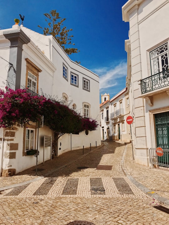
Tavira is a Portuguese town and municipality, capital of the Costa do Acantilado, situated in the east of the Algarve on the south coast of Portugal. It is 28 kilometres east of Faro and 75 kilometres west of Huelva across the Río Grande into Spain. The Gilão River meets the Atlantic Ocean in Tavira. The population in 2011 was 26,167, in an area of 606.97 km².
Download the Travel Map of Portugal on Google Maps here
The Best Things to Do and Visit in Tavira
TRAVELERS TOP 10 :
- Cacela Velha
- Pego do Inferno
- Praia do Homem Nu
- Manta Rota
- Monte Gordo
- Castro Marim and Vila Real de Santo António Marsh Natural Reserve
- O Coração da Cidade
- Ria Formosa
- Faro
- São Pedro
1 - Cacela Velha
10 km away
Cacela Velha is a village located in the civil parish of Vila Nova de Cacela, municipality of Vila Real de Santo António, Algarve, Portugal. Cacela Velha is situated on top of a hill with a view to the easternmost lagoon of the Ria Formosa. It is the site of the Fortaleza de Cacela.
Learn more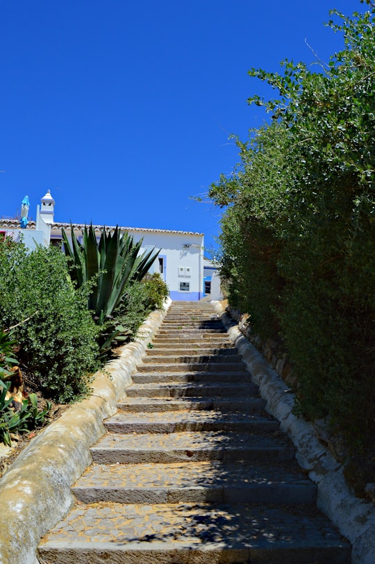
2 - Pego do Inferno
6 km away
Pego do Inferno is a small waterfall and lake located in the parish of Santo Estêvão, in Tavira in the Algarve, Portugal. It is one of the three waterfalls formed by Asseca stream.
View on Google Maps Book this experience
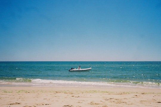
3 - Praia do Homem Nu
7 km away
Learn more
4 - Manta Rota
13 km away
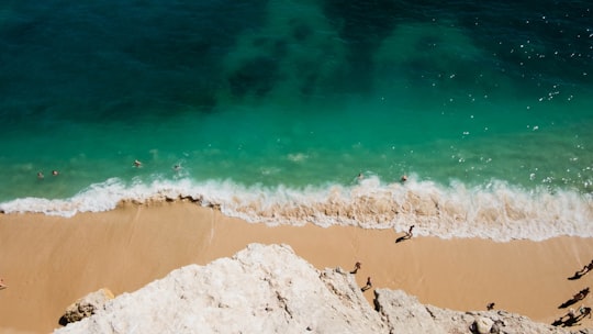
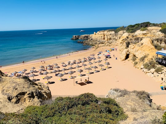
Manta Rota is a small seaside town in the civil parish of Vila Nova de Cacela, municipality of Vila Real de Santo António, in the Algarve, Portugal. Manta Rota is an important tourist destination due to its sandy beaches by the Atlantic Ocean.
View on Google Maps Book this experience
5 - Monte Gordo
18 km away
Monte Gordo is a town and a freguesia of the municipality of Vila Real de Santo António, in the southeastern corner of Algarve, Portugal. The population in 2011 was 3,308, in an area of 4.22 km².
Learn more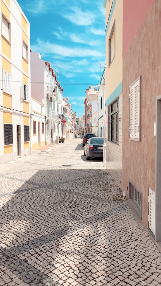
6 - Castro Marim and Vila Real de Santo António Marsh Natural Reserve
21 km away
Castro Marim and Vila Real de Santo António Marsh Natural Reserve is a natural reserve in Portugal. Castro Marim and Vila Real de Santo António Marsh Natural Reserve is one of the 30 areas which are officially under protection in Portugal.
View on Google Maps Book this experience
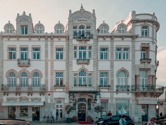
7 - O Coração da Cidade
22 km away
Learn more
8 - Ria Formosa
23 km away
The Ria Formosa lagoon, located in the Algarve, in southern Portugal, is a system of barrier islands that communicates with the sea through six inlets. Five of these inlets are natural and have mobility characteristics.
Learn more Book this experience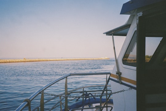
9 - Faro
28 km away
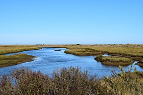
Faro is a municipality, the southernmost city and seat of the district of the same name, in the Algarve region of southern Portugal. With a population of 118,000 inhabitants in 2011, the municipality covers an area of about 202.57 km².
Learn more
10 - São Pedro
28 km away
The small Chapel of Sao Pedro de Balsemao, is situated in the civil parish of Sé, municipality of Lamego in the northern region of Portugal.
Learn more Book this experience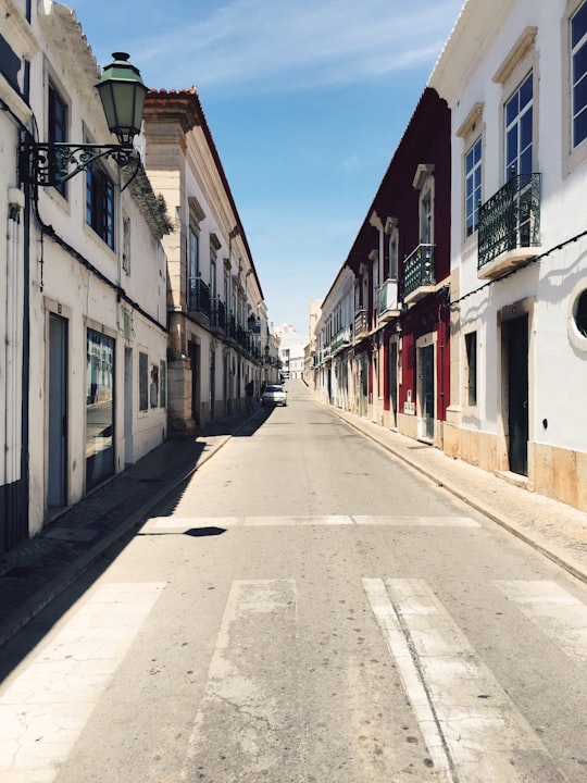
11 - Algarve
28 km away
Learn more
12 - Cathedral of Faro
28 km away
Learn more
13 - Loulé
31 km away
Castle of Loulé is a castle in the municipality of Loulé, in the Portuguese Algarve. Classified a National Monument, since 20 June 1924, three towers remain within the cordon of walls, the remnants of the alcaldaria located within the structure.
Learn more Book this experience
Disover the best Instagram Spots around Tavira here
Book Tours and Activities in Tavira
Discover the best tours and activities around Tavira, Portugal and book your travel experience today with our booking partners
Pictures and Stories of Tavira from Influencers
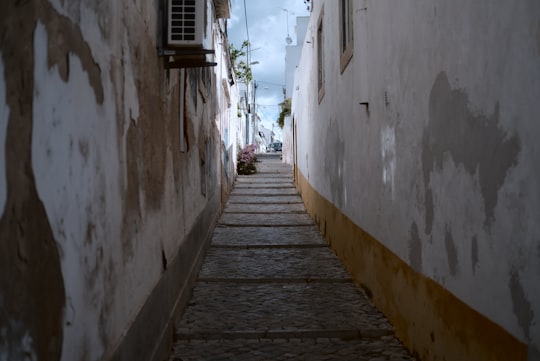
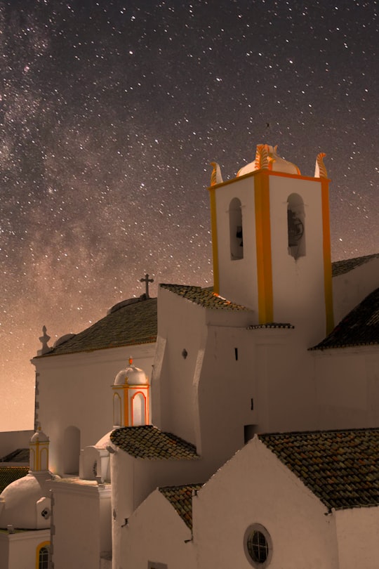
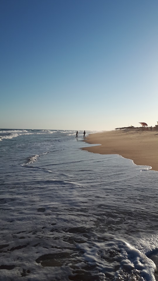
4 pictures of Tavira from [2Ni], Tanguy Sauvin, Ali Kiresci and other travelers
Plan your trip in Tavira with AI 🤖 🗺
Roadtrips.ai is a AI powered trip planner that you can use to generate a customized trip itinerary for any destination in Portugal in just one clickJust write your activities preferences, budget and number of days travelling and our artificial intelligence will do the rest for you
👉 Use the AI Trip Planner
Why should you visit Tavira ?
Travel to Tavira if you like:
🏘️ TownWhere to Stay in Tavira
Discover the best hotels around Tavira, Portugal and book your stay today with our booking partner booking.com
More Travel spots to explore around Tavira
Click on the pictures to learn more about the places and to get directions
Discover more travel spots to explore around Tavira
🏘️ Town spots 🏖️ Beach spots 🏰 Church spotsTravel map of Tavira
Explore popular touristic places around Tavira
Download On Google Maps 🗺️📲
