The Best Travel Spots nearby Mýrdalsjökull
Travel to Mýrdalsjökull in Iceland
Find hotels nearby 🏨
Find & Book the best travel experiences here
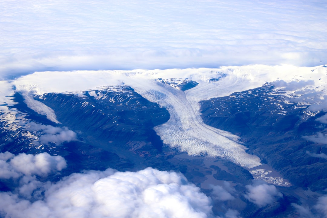
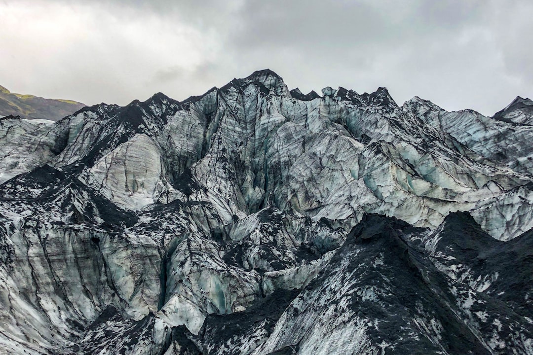
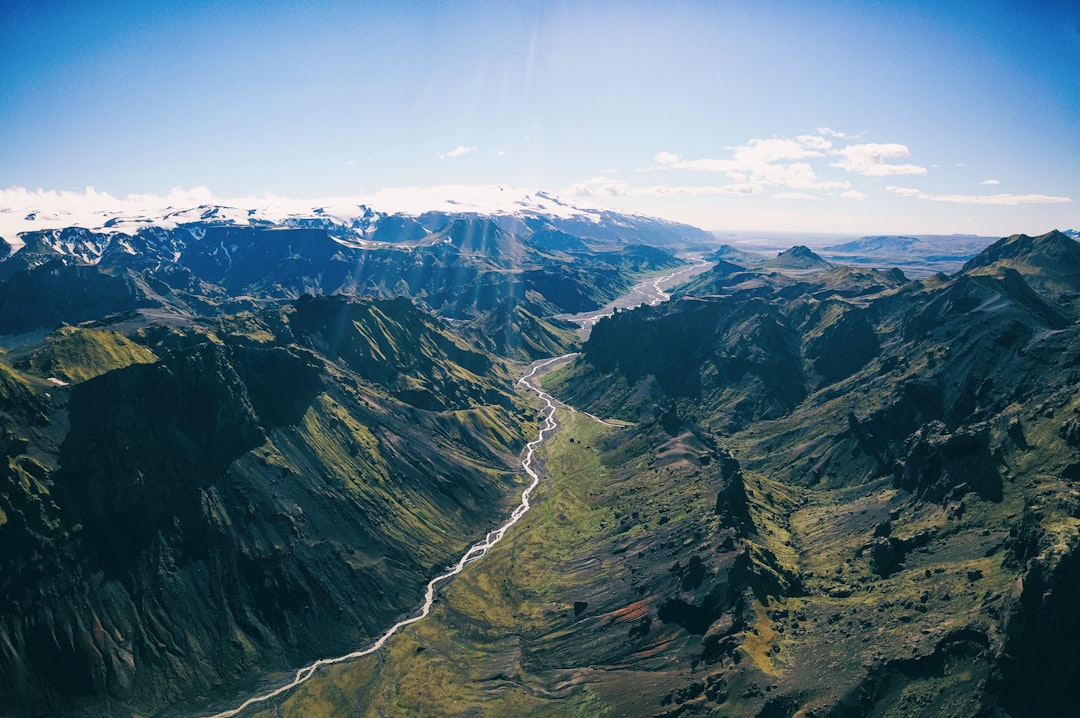
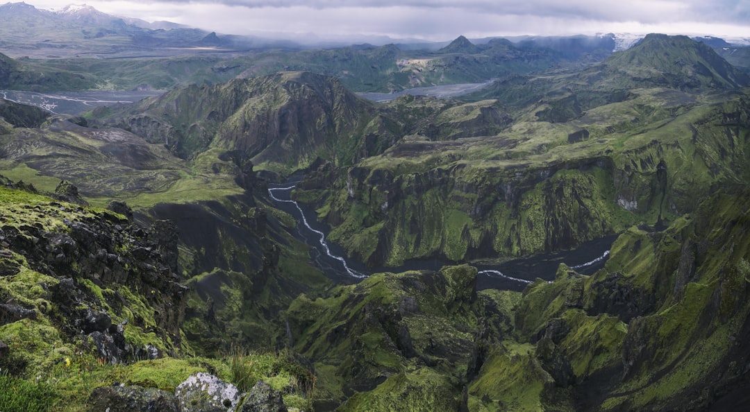
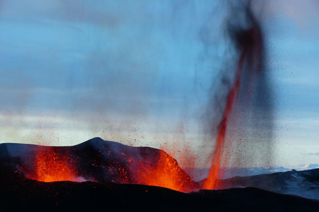
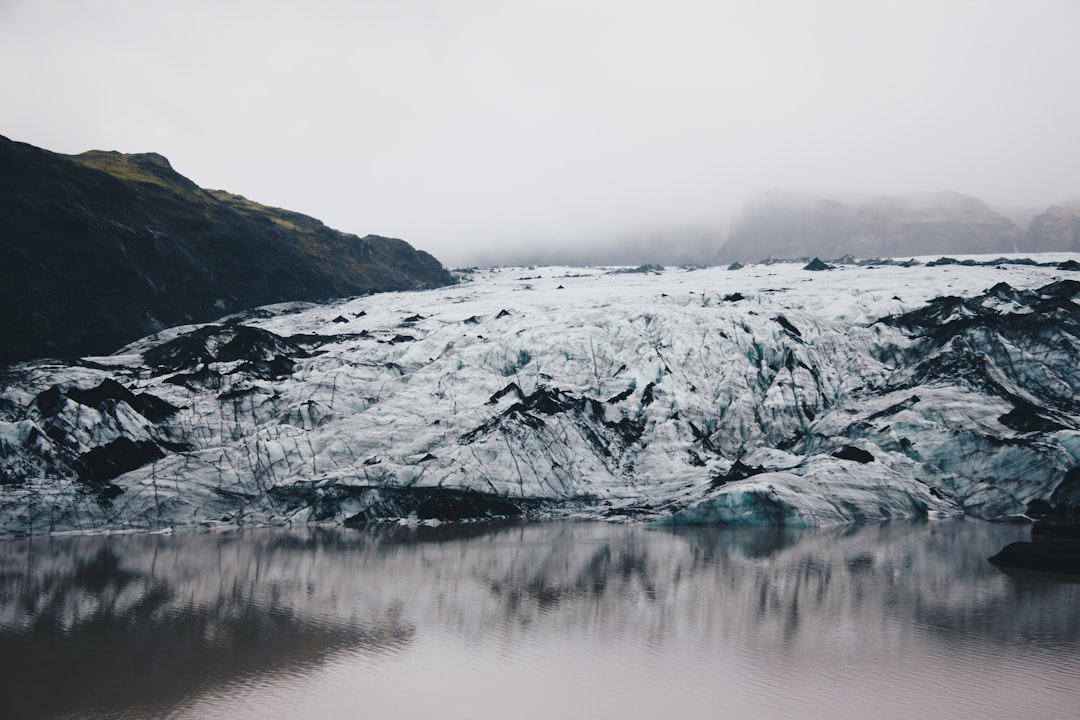
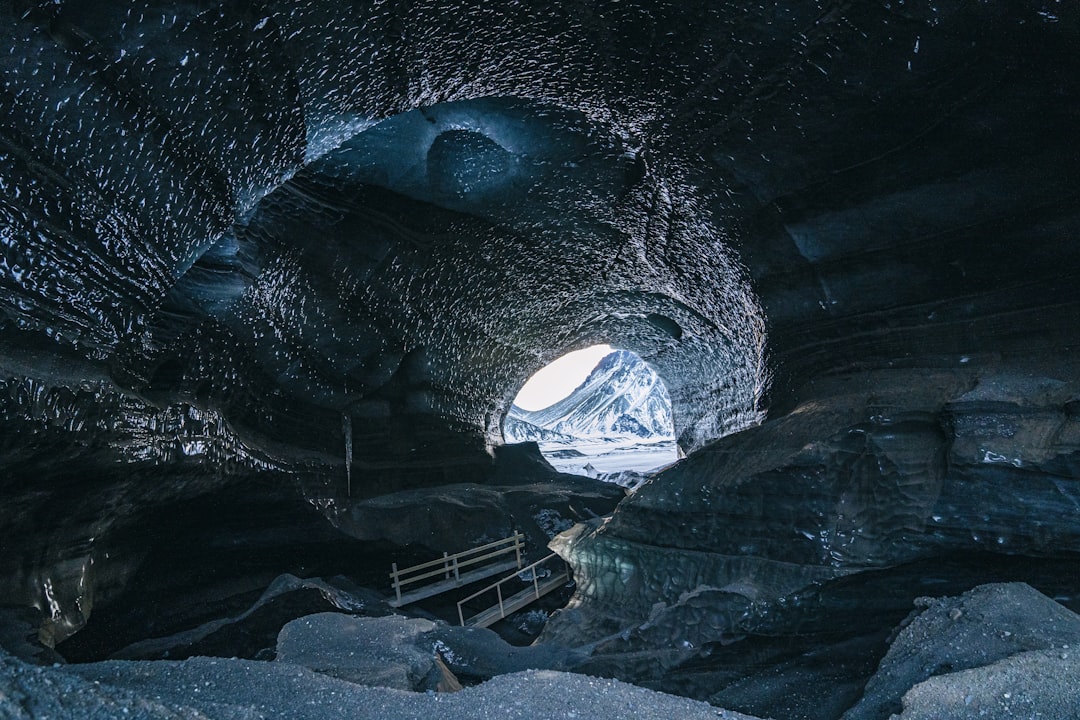
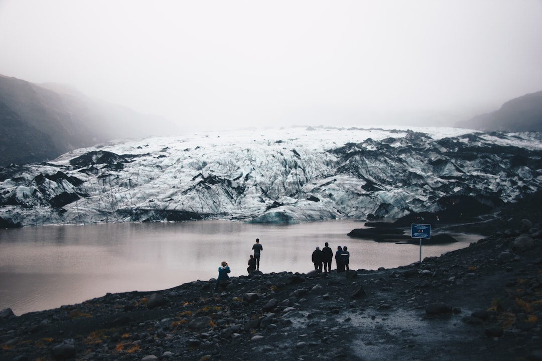
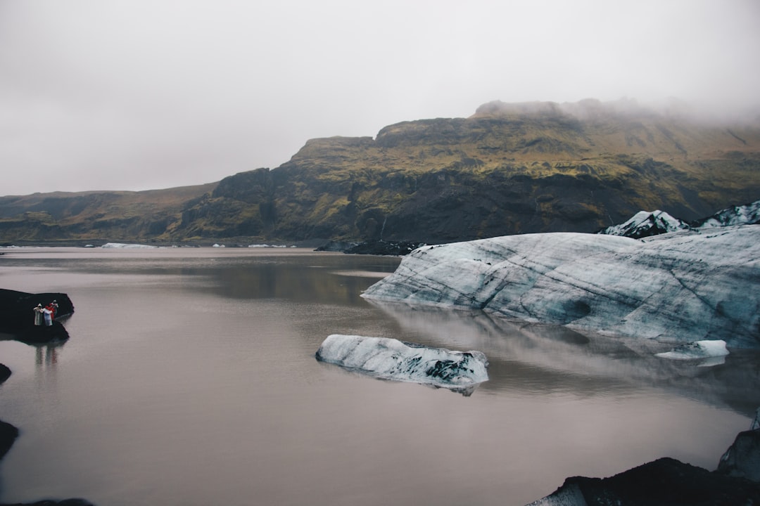
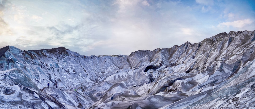
Mýrdalsjökull is an ice cap in the south of Iceland. It is to the north of Vík í Mýrdal and to the east of the smaller ice cap Eyjafjallajökull. Between these two glaciers is Fimmvörðuháls pass. Its peak reaches 1,493 m in height and in the year 1980 it covered an area of approximately 595 km². The icecap of the glacier covers an active volcano called Katla. The caldera of the volcano has a diameter of 10 km and the volcano erupts usually every 40–80 years. The last eruption took place in 1918.
Source: WikipediaGlacial landform pictures in Mýrdalsjökull
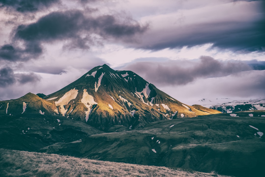
Shot with a Canon EOS 550D. Exposure: 1/800, Aperture: 5.0, Focal Length: 38.0, ISO: 400
