Travel Guide of Kaatsheuvel in Netherlands by Influencers and Travelers
Kaatsheuvel is a village in the province of North Brabant, Netherlands situated along highways N261 and N628. With a population of roughly 16,600, it is the largest village in and the capital of the municipality of Loon op Zand, which also consists of the villages of De Moer and Loon op Zand.
The Best Things to Do and Visit in Kaatsheuvel
TRAVELERS TOP 10 :
- Loonse en Drunense Duinen
- Tilburg
- Drunen
- Breda
- The Kilsdonk Mill
- Dordrecht
- Eindhoven
- Kinderdijk
- Ridderkerk
- Glorieuxpark
1 - Loonse en Drunense Duinen
De Loonse en Drunense Duinen National Park is a national park situated in the south of the Netherlands, between the cities of Tilburg, Waalwijk and 's-Hertogenbosch. It has been designated as a national park since 2002.
View on Google Maps Book this experience
2 - Tilburg
10 km away
Tilburg is a city in the Netherlands, in the southern province of North Brabant. With a population of 217,595, it is the second-largest municipality in North Brabant, and the sixth largest in the Netherlands.
Learn more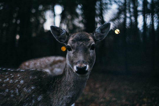
3 - Drunen
8 km away
Drunen is a town with a population of 18,216 in the municipality of Heusden in the southern Netherlands. Drunen is part of a region called the Langstraat which is historically known for its leather and shoe industry.
Learn more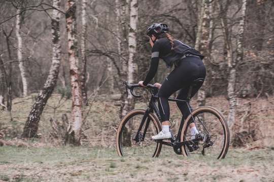
4 - Breda
21 km away
Breda is a city and municipality in the southern part of the Netherlands, located in the province of North Brabant. The name derived from brede Aa and refers to the confluence of the rivers Mark and Aa.
Learn more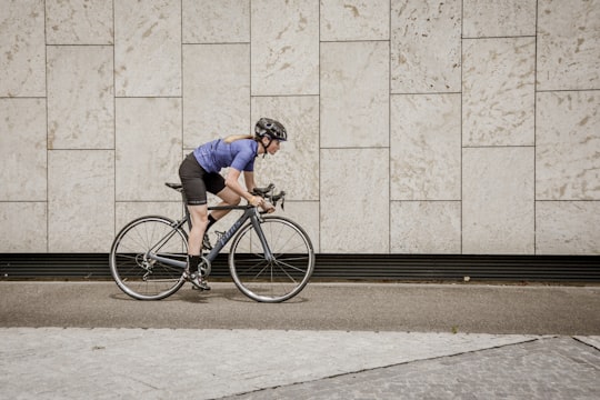
5 - The Kilsdonk Mill
32 km away
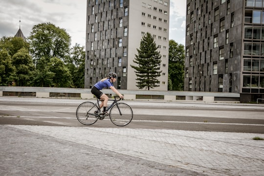
The Watermill at Kollen is a watermill along the river Kleine Dommel, located on the Collseweg 1 in 't Coll, Eindhoven, in the province of North Brabant, Netherlands. First mentioned in the 14th century, the watermill burned down and was rebuilt in 1681.
Learn more Book this experience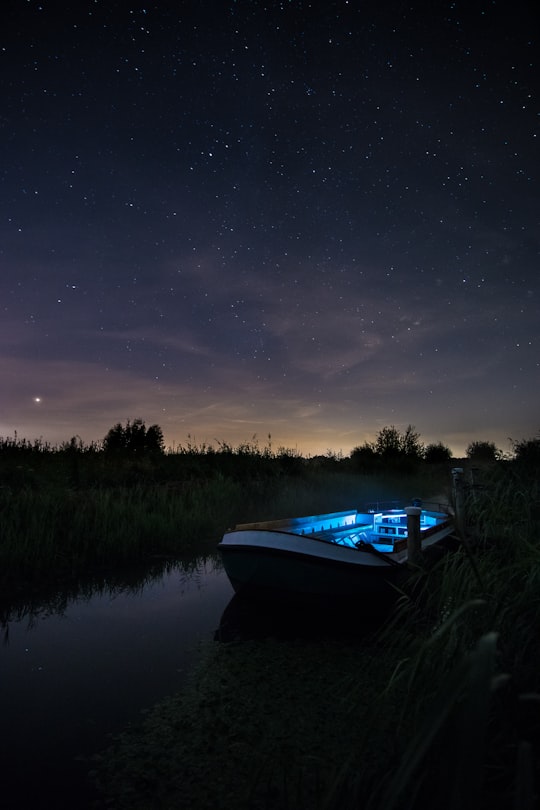
6 - Dordrecht
32 km away
Dordrecht, historically known in English as Dordt or Dort, is a city and municipality in the Western Netherlands, located in the province of South Holland.
Learn more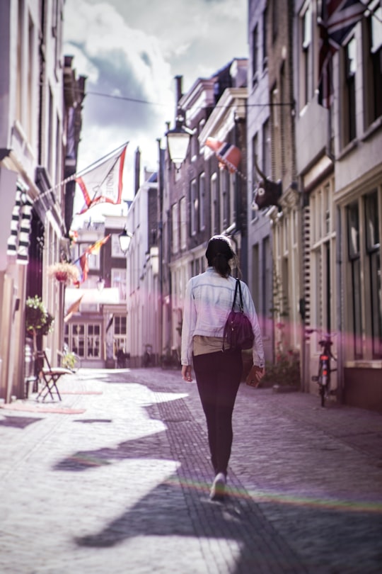
7 - Eindhoven
37 km away
Eindhoven is the fifth-largest city and a municipality of the Netherlands, located in the south of the country. It had a population of 231,469 in 2019, making it the largest city in the province of North Brabant.
Learn more
8 - Kinderdijk
39 km away
Kinderdijk is a village in the municipality of Molenlanden, in the province of South Holland, Netherlands. It is located about 15 km east of Rotterdam. Kinderdijk is situated in the Alblasserwaard polder at the confluence of the Lek and Noord rivers. To drain the polder, a system of 19 windmills was built around 1740. This group of mills is the largest concentration of old windmills in the Netherlands. The windmills of Kinderdijk are one of the best-known Dutch tourist sites. They have been a UNESCO World Heritage site since 1997.
Learn more
9 - Ridderkerk
39 km away
Ridderkerk is a town and municipality in the western Netherlands, in the province of South Holland. The municipality had a population of 46,241 in 2019 and covers an area of 25.26 km² of which 1.54 km² is covered by water.
Learn more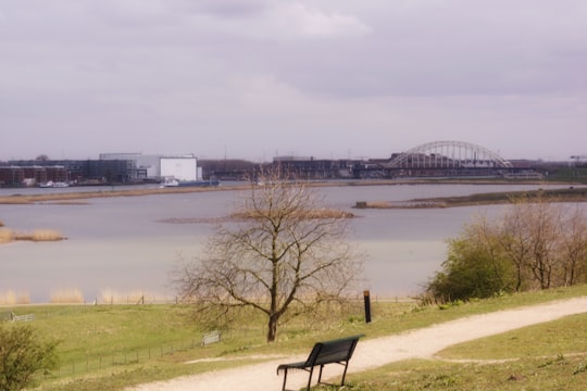
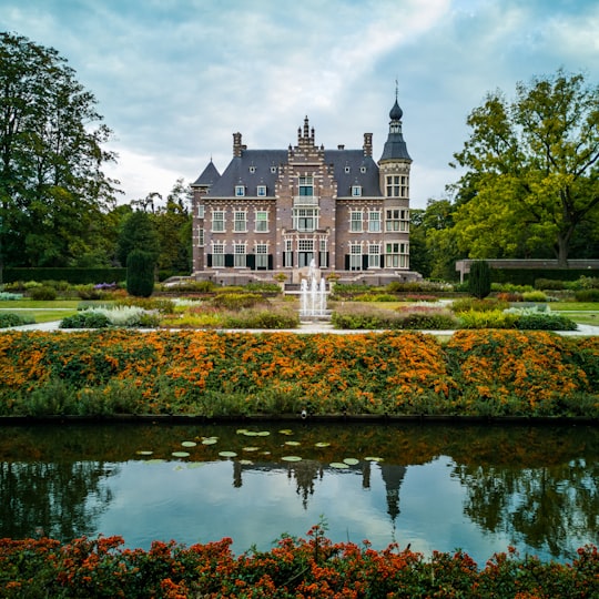
10 - Glorieuxpark
40 km away
Learn more
11 - Sint-Janskerk
46 km away
Learn more

12 - Utrecht
49 km away
Utrecht Province is a province of the Netherlands. It is located in the centre of the country, bordering the Eemmeer in the north-east, the province of Gelderland in the east and south-east, the province of South Holland in the west and south-west and the province of North Holland in the north-west and north.
Learn more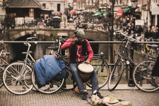
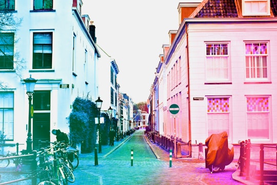
13 - Station Utrecht Centraal
49 km away
Learn more

Disover the best Instagram Spots around Kaatsheuvel here
Book Tours and Activities in Kaatsheuvel
Discover the best tours and activities around Kaatsheuvel, Netherlands and book your travel experience today with our booking partners
Plan your trip in Kaatsheuvel with AI 🤖 🗺
Roadtrips.ai is a AI powered trip planner that you can use to generate a customized trip itinerary for any destination in Netherlands in just one clickJust write your activities preferences, budget and number of days travelling and our artificial intelligence will do the rest for you
👉 Use the AI Trip Planner
Where to Stay in Kaatsheuvel
Discover the best hotels around Kaatsheuvel, Netherlands and book your stay today with our booking partner booking.com
More Travel spots to explore around Kaatsheuvel
Click on the pictures to learn more about the places and to get directions
Discover more travel spots to explore around Kaatsheuvel
🏞️ Lake spotsTravel map of Kaatsheuvel
Explore popular touristic places around Kaatsheuvel