Travel Guide of Attappadi in India by Influencers and Travelers
Attappady Reserve Forest is a protected area comprising 249 km² of land covering the westernmost part of the 745 km² Attappady block of Mannarkkad Taluk in Palakkad district of Kerala, India.
The Best Things to Do and Visit in Attappadi
TRAVELERS TOP 8 :
- Attappadi Reserve Forest
- Lovedale
- Malampuzha
- Ooty
- Naduvattam
- Sri Vana Badra Kali Amman Temple
- Coimbatore
- Kotagiri
1 - Attappadi Reserve Forest
Attappady Reserve Forest is a protected area comprising 249 km² of land covering the westernmost part of the 745 km² Attappady block of Mannarkkad Taluk in Palakkad district of Kerala, India.
Learn more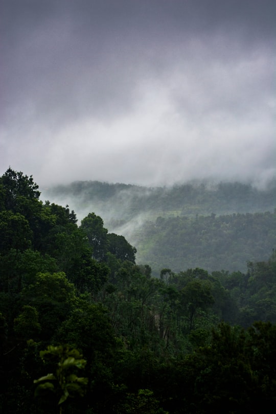

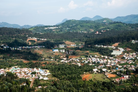
2 - Lovedale
29 km away
Learn more
3 - Malampuzha
30 km away
Malampuzha Dam is the largest dam and reservoir in Kerala, located near Palakkad, in the state of Kerala in South India, built post independence by the then Madras state.
Learn more Book this experience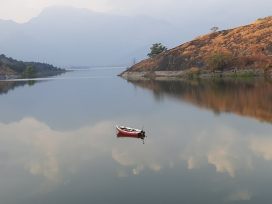
4 - Ooty
31 km away
Ooty, officially known as Udhagamandalam, is a city and a municipality in the Nilgiris district of the South Indian state of Tamil Nadu.
Learn more

5 - Naduvattam
37 km away
Naduvattam is a Panchayat town in The Nilgiris district in the Indian state of Tamil Nadu. It is located on Coimbatore-Gundalpet National Highway NH 67 of the Nilgiri Ghat Roads.
Learn more
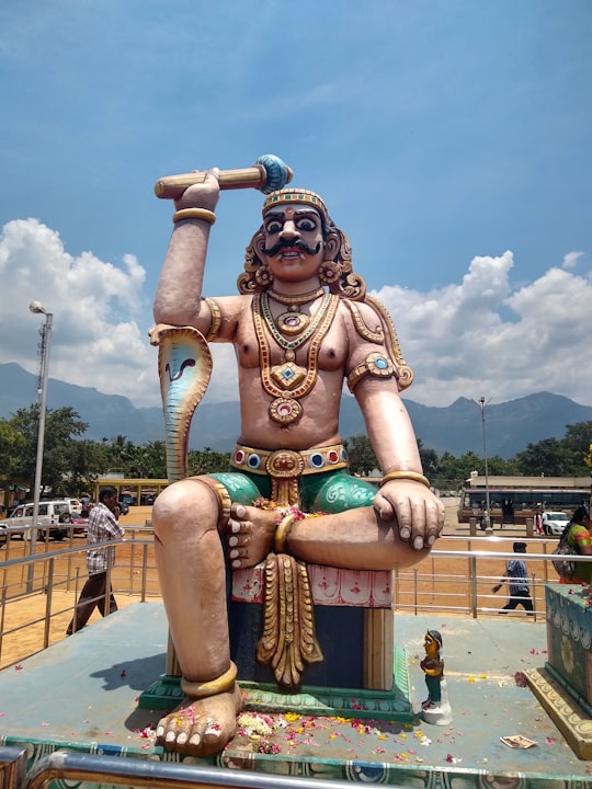
6 - Sri Vana Badra Kali Amman Temple
39 km away
Learn more
7 - Coimbatore
44 km away
Coimbatore, also known as Kovai or sometimes spelt as Covai, is a city in the Indian state of Tamil Nadu. It is located on the banks of the Noyyal River and surrounded by the Western Ghats.
Learn more

8 - Kotagiri
44 km away
Kotagiri or Kothagiri is a taluk and a Panchayat town in The Nilgiris District in the Indian state of Tamil Nadu. It is the third largest hill station in the Nilgiri hills. Kotagiri is located at 11.43°N 76.88°E. It has an average elevation of 1,847 m.
Learn more
Disover the best Instagram Spots around Attappadi here
Book Tours and Activities in Attappadi
Discover the best tours and activities around Attappadi, India and book your travel experience today with our booking partners
Plan your trip in Attappadi with AI 🤖 🗺
Roadtrips.ai is a AI powered trip planner that you can use to generate a customized trip itinerary for any destination in India in just one clickJust write your activities preferences, budget and number of days travelling and our artificial intelligence will do the rest for you
👉 Use the AI Trip Planner
Where to Stay in Attappadi
Discover the best hotels around Attappadi, India and book your stay today with our booking partner booking.com
More Travel spots to explore around Attappadi
Click on the pictures to learn more about the places and to get directions
Discover more travel spots to explore around Attappadi
🌴 Jungle spotsTravel map of Attappadi
Explore popular touristic places around Attappadi