Travel Guide of Kananaskis Improvement District in Canada by Influencers and Travelers
Kananaskis Village is an unincorporated community in Alberta's Rockies within the Kananaskis Country park system in the Kananaskis Improvement District of Alberta, Canada.
Download the Travel Map of Canada on Google Maps here
Pictures and Stories of Kananaskis Improvement District from Influencers
Picture from Stephen Bacso who have traveled to Kananaskis Improvement District
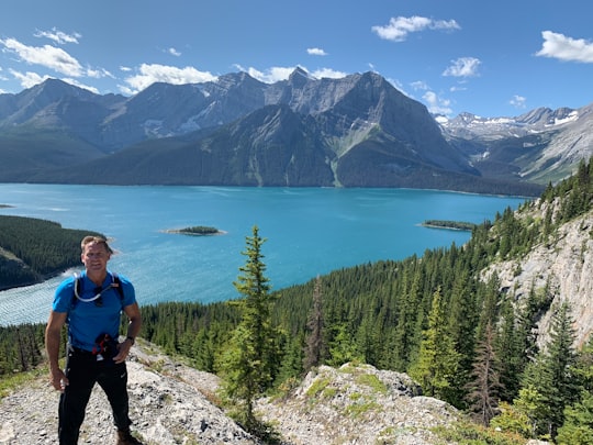
- 1/3 of the way up, Indefatigable Mountain near Kananaskis Improvement, Alberta, Canada ...click to read more
- Experienced by @Stephen Bacso | ©Unsplash
Plan your trip in Kananaskis Improvement District with AI 🤖 🗺
Roadtrips.ai is a AI powered trip planner that you can use to generate a customized trip itinerary for any destination in Canada in just one clickJust write your activities preferences, budget and number of days travelling and our artificial intelligence will do the rest for you
👉 Use the AI Trip Planner
The Best Things to Do and Visit around Kananaskis Improvement District
Disover the best Instagram Spots around Kananaskis Improvement District here
1 - Spray Lakes Reservoir
14 km away
Spray Lakes Reservoir is a reservoir in Alberta, Canada. The Spray Lakes were a string of lakes formed along the Spray River, a tributary of the Bow River. With the damming of the river, the lakes were united in the Spray Lakes Reservoir. It lies between the Goat Range and the Three Sisters ridge, at an elevation of 1,720 meters. The lake is followed by Highway 742 in the northern part. The lake is fed by the following waterways: Bryant Creek Turbulent Creek Currie Creek Watridge Creek Spray River Smuts Creek Spurling Creek
Learn more Book this experience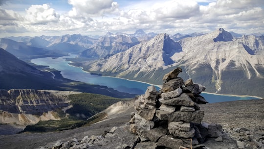
2 - Barrier Lake
14 km away
Barrier Lake is a man made reservoir at the north end of Kananaskis Country in Alberta, Canada. Highway 40 runs between the lake and Mount Baldy, on the eastern shore. It is entirely located in the Bow Valley Provincial Park. Barrier Lake was created for hydroelectric power generation on the Kananaskis River. The dam that impounds the lake is at the north end of the lake.
Learn more Book this experience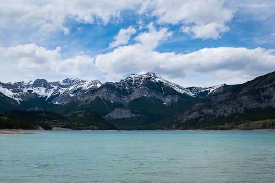

3 - Hiking / Trekking in Banff
16 km away
Go for a 3 hours hike with the assistance of a ranger ATV through the Fortress backcountry near Calgary! Wild and beautiful, the backcountry of The Fortress Summit is a magical place that has been used for the filming of many movies: Inception, Juman...
Learn more
4 - Three Sisters
23 km away
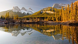
The Three Sisters are a trio of peaks near Canmore, Alberta, Canada. They are known individually as Big Sister, Middle Sister and Little Sister. In the traditional language of the Îyârhe Nakoda the peaks are also referred to as the three sisters.
Learn more Book this experience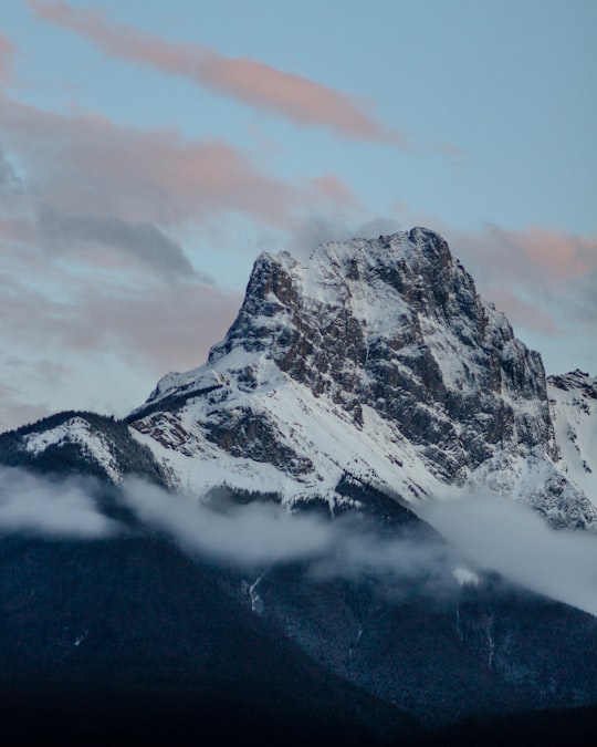
5 - Ha Ling Peak
24 km away
Ha Ling Peak is a peak at the northwestern end of Mount Lawrence Grassi — a mountain located immediately south of the town of Canmore just east of the Spray Lakes road in Alberta's Canadian Rockies.
Learn more Book this experience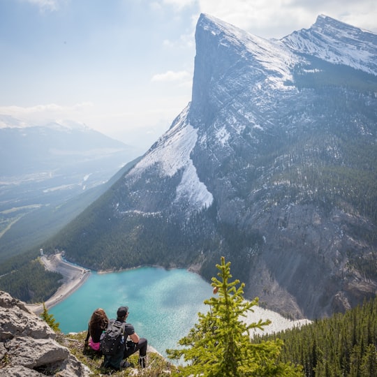
6 - Grassi Lakes
26 km away
The Upper and Lower Grassi Lakes lie at an elevation of about 1,525 m in the southern Canadian Rockies overlooking the town of Canmore, Alberta. They receive their water from the Spray Lakes Reservoir on the Spray River.
Learn more Book this experience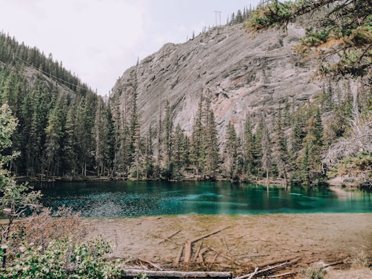

7 - Elbow Falls
26 km away
Elbow Falls is a small set of waterfalls along the Elbow River, west of the hamlet of Bragg Creek within Kananaskis Improvement District, Alberta. They are located along Highway 66, 20 km west of the Bragg Creek turnoff on Highway 22.
Learn more Book this experience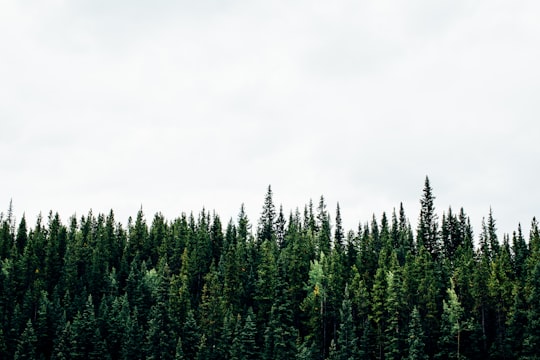

8 - Cone Mountain
35 km away
Cone Mountain is a summit in the Canadian Rockies of Alberta, Canada. It is the southernmost peak in the Sundance Range. Cone Mountain was so named in 1915 on account of its shape.
Learn more Book this experience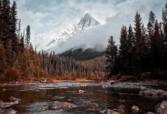
9 - Prairie Mountain
36 km away
Learn more
10 - Kananaskis
48 km away
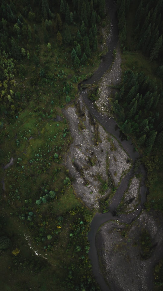
Kananaskis is an unincorporated community in Alberta's Rockies within the Municipal District of Bighorn No. 8 of Alberta, Canada. It is located on Highway 1A approximately 18 km east of Canmore and 54 km west of Cochrane. The community is located on the north shore of the Bow River.
Learn more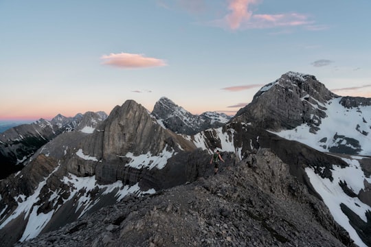
Book Tours and Activities in Kananaskis Improvement District
Discover the best tours and activities around Kananaskis Improvement District, Canada and book your travel experience today with our booking partners
Where to Stay near Kananaskis Improvement District
Discover the best hotels around Kananaskis Improvement District, Canada and book your stay today with our booking partner booking.com
More Travel spots to explore around Kananaskis Improvement District
Click on the pictures to learn more about the places and to get directions
Discover more travel spots to explore around Kananaskis Improvement District
Travel map of Kananaskis Improvement District
Explore popular touristic places around Kananaskis Improvement District
Download On Google Maps 🗺️📲