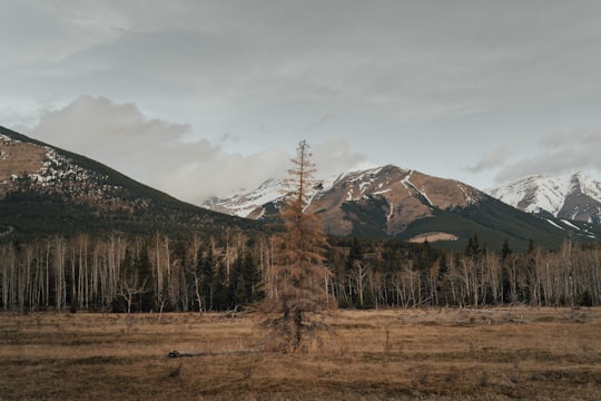
Travel Guide of Kananaskis in Canada by Influencers and Travelers
Kananaskis is an unincorporated community in Alberta's Rockies within the Municipal District of Bighorn No. 8 of Alberta, Canada. It is located on Highway 1A approximately 18 km east of Canmore and 54 km west of Cochrane. The community is located on the north shore of the Bow River.
Download the Travel Map of Canada on Google Maps here
Pictures and Stories of Kananaskis from Influencers
20 pictures of Kananaskis from Karl Lee, Nick Carter, Eric Johnson and other travelers
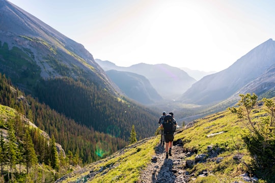
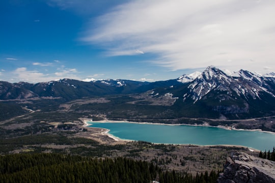
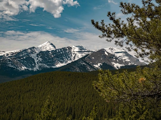
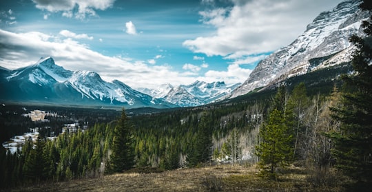
- Hiking in the out on Northover Ridge in Kananaskis Alberta ...click to read more
- Experienced by @Karl Lee | ©Unsplash
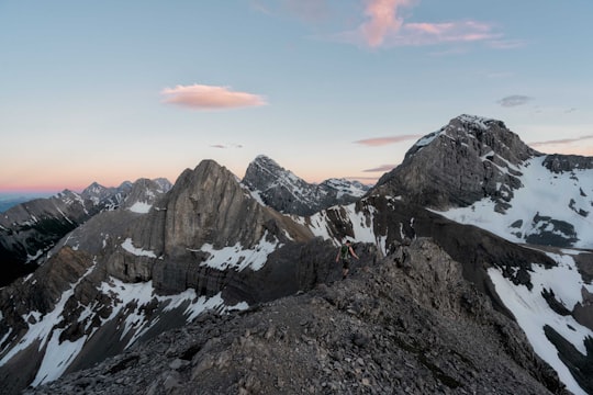
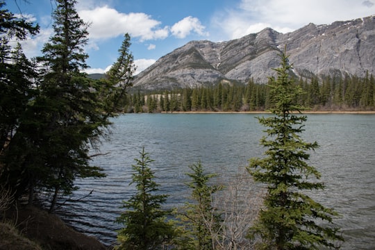
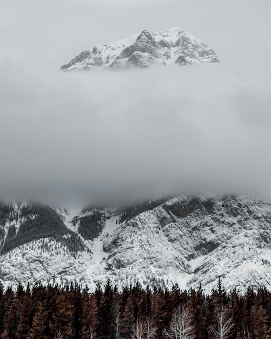
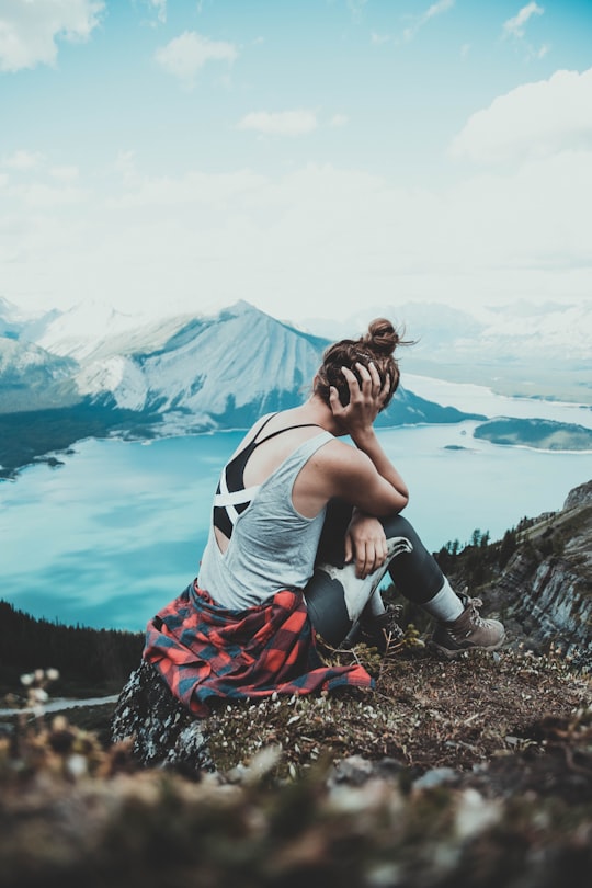
- Hiking Tent Ridge in Kananaskis Country Alberta. ...click to read more
- Experienced by @Karl Lee | ©Unsplash
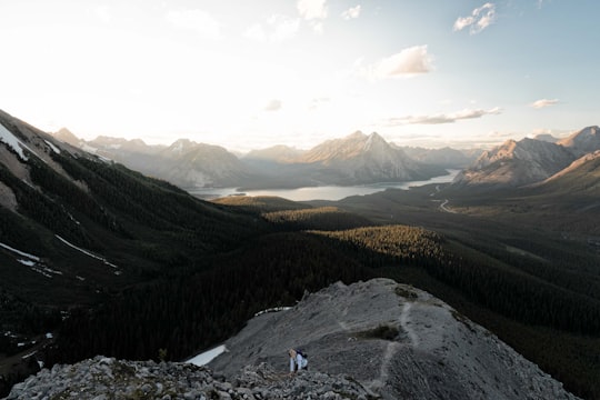
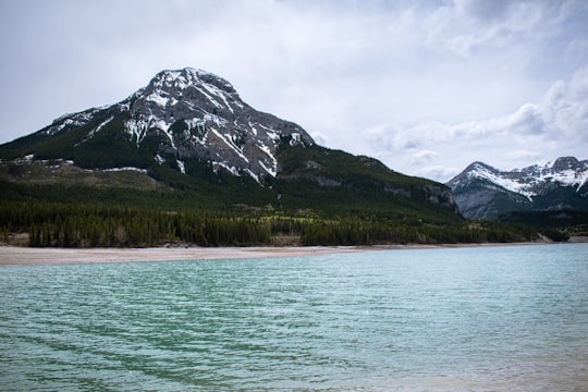
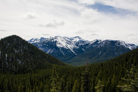
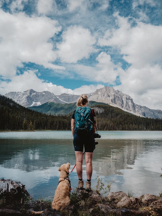
- Hiking Tent Ridge in Kananaskis Country Alberta. ...click to read more
- Experienced by @Karl Lee | ©Unsplash
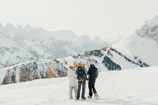
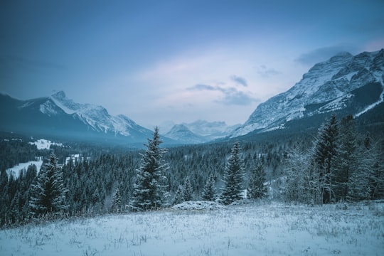
- Snowshoeing with Travel Alberta in Kananaskis ...click to read more
- Experienced by @Karl Lee | ©Unsplash
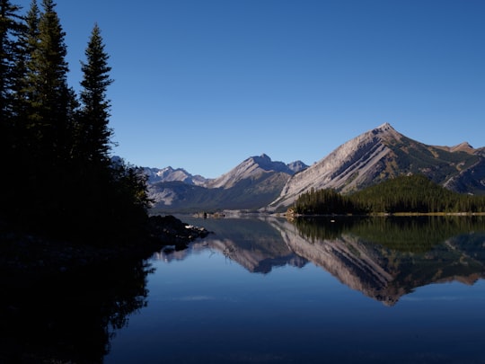
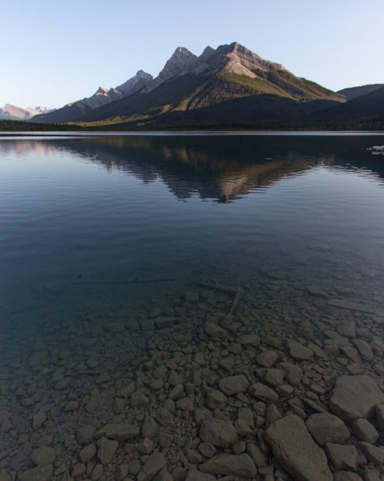
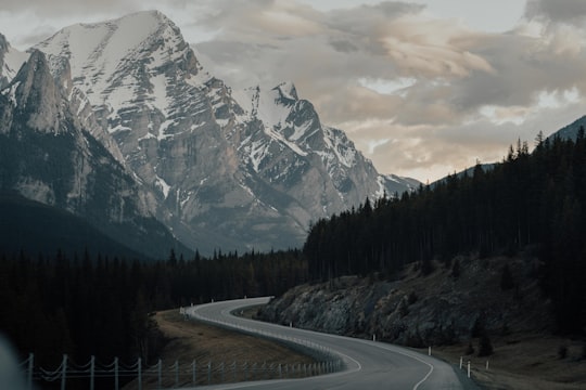
- The still Upper Kananaskis Lake ...click to read more
- Experienced by @Matt Forster | ©Unsplash
Plan your trip in Kananaskis with AI 🤖 🗺
Roadtrips.ai is a AI powered trip planner that you can use to generate a customized trip itinerary for any destination in Canada in just one clickJust write your activities preferences, budget and number of days travelling and our artificial intelligence will do the rest for you
👉 Use the AI Trip Planner
How to visit Kananaskis ?
Kananaskis, located in the Canadian Rockies of Alberta, is an outdoor enthusiast's paradise. With its stunning landscapes, diverse wildlife, and numerous recreational activities, Kananaskis is the perfect destination for those seeking adventure and natural beauty.
To get to Kananaskis, fly into Calgary International Airport (YYC), which is approximately 80 km from the region. From there, rent a car or take a shuttle service to Kananaskis. Alternatively, you can travel by car from other Canadian cities, such as Edmonton or Vancouver.
Before your trip, it is essential to book some activities in advance. Reserve guided tours, such as wildlife watching, horseback riding, or whitewater rafting, ahead of time to secure your spot. Additionally, if you plan to visit during the winter months, book ski passes and equipment rentals for the Nakiska Ski Area.
The costs of visiting Kananaskis can vary depending on your preferred activities and accommodations. Expect to spend around CAD 100-200 per person per day, including lodging, meals, and activities.
Some of the best things to do in Kananaskis include hiking, mountain biking, and exploring the numerous parks and trails in the area. Popular trails include the Upper Kananaskis Lake Circuit, Ribbon Creek Trail, and the Highwood Pass. For a more leisurely experience, visit the Kananaskis Nordic Spa, where you can enjoy the natural beauty of the region while indulging in relaxation treatments.
For dining options, consider visiting the following local eateries:
1. Boundary Ranch - Enjoy a delicious meal in a rustic setting, featuring a menu of hearty dishes made with locally-sourced ingredients.
2. Pomeroy Kananaskis Mountain Lodge - Savor a range of cuisine, from casual pub fare to fine dining options, while taking in the stunning views of the surrounding mountains.
3. Market Café - Located at the Kananaskis Golf Course, this café offers fresh, healthy options, including sandwiches, salads, and homemade soups.
For accommodations, consider these options:
1. Mount Engadine Lodge - A cozy, rustic lodge with a variety of room options, including cabins and glamping tents.
2. Pomeroy Kananaskis Mountain Lodge - A luxury hotel with an on-site spa, dining options, and a range of outdoor activities.
3. HI Kananaskis Wilderness Hostel - A budget-friendly option for travelers seeking basic accommodations, located near several popular hiking trails.
Off the Beaten Path:
For an unusual travel experience in Kananaskis, try venturing into the Spray Valley Provincial Park for a day of dog sledding. Several local companies offer guided tours through the park, where you can enjoy breathtaking views of the Canadian Rockies while being pulled by a team of enthusiastic sled dogs. This unique adventure is a great way to explore the natural beauty of Kananaskis while trying something new and exhilarating.
The Best Things to Do and Visit around Kananaskis
Disover the best Instagram Spots around Kananaskis here
1 - Barrier Lake
7 km away
Barrier Lake is a man made reservoir at the north end of Kananaskis Country in Alberta, Canada. Highway 40 runs between the lake and Mount Baldy, on the eastern shore. It is entirely located in the Bow Valley Provincial Park. Barrier Lake was created for hydroelectric power generation on the Kananaskis River. The dam that impounds the lake is at the north end of the lake.
Learn more Book this experience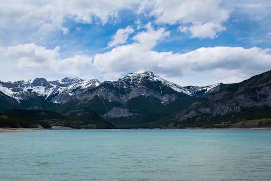

2 - Bow Valley Provincial Park - Kananaskis Country
13 km away
Kananaskis Country is a park system situated to the west of Calgary, Alberta, Canada, in the foothills and front ranges of the Canadian Rockies. The area is named for the Kananaskis River, which was named by John Palliser in 1858 after a Cree acquaintance.
Learn more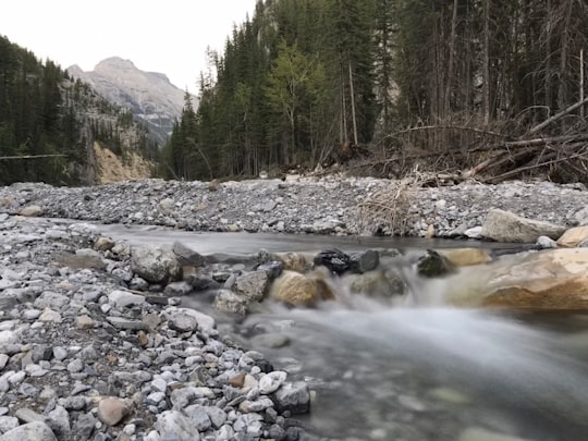
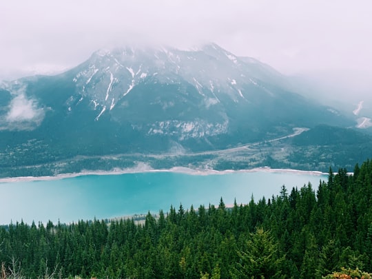
3 - Canyoning in Banff
Spend an unforgettable day off the beaten track in the Canadian Rockies on this canyoning trip in Banff National Park, at Ghost Canyon! Located north-east of Banff, in a remote area in the heart of the Canadian Rockies, Ghost Canyon offers an incredi...
Learn more
4 - Three Sisters
14 km away
The Three Sisters are a trio of peaks near Canmore, Alberta, Canada. They are known individually as Big Sister, Middle Sister and Little Sister. In the traditional language of the Îyârhe Nakoda the peaks are also referred to as the three sisters.
Learn more Book this experience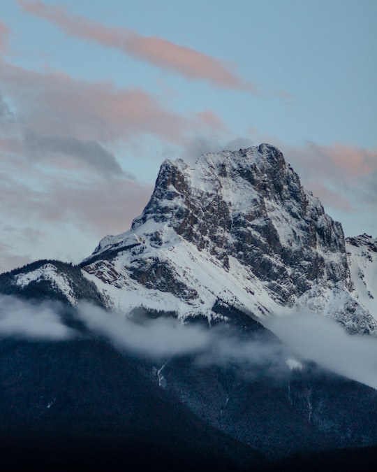
5 - Canmore
15 km away
Canmore is a town in Alberta, Canada, located approximately 81 kilometres west of Calgary near the southeast boundary of Banff National Park. It is located in the Bow Valley within Alberta's Rocky Mountains.
Learn more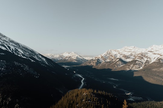
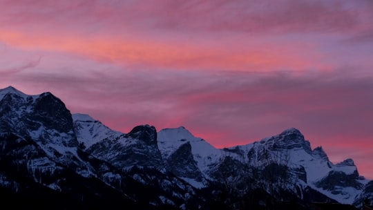
6 - Quarry Lake Park
17 km away
Learn more
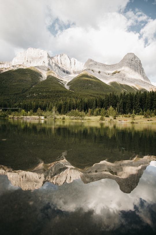
7 - Canmore Nordic Ctr
18 km away
Learn more
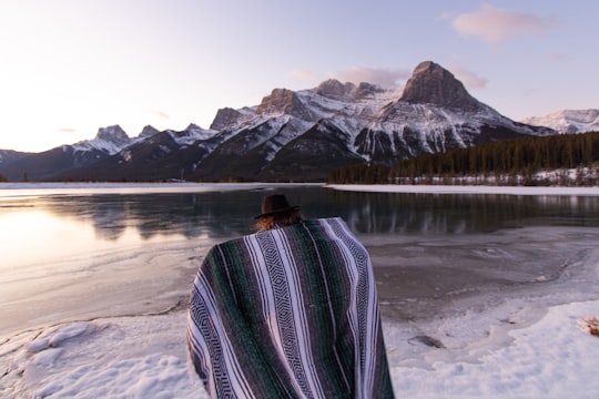
8 - Ha Ling Peak
19 km away
Ha Ling Peak is a peak at the northwestern end of Mount Lawrence Grassi — a mountain located immediately south of the town of Canmore just east of the Spray Lakes road in Alberta's Canadian Rockies.
Learn more Book this experience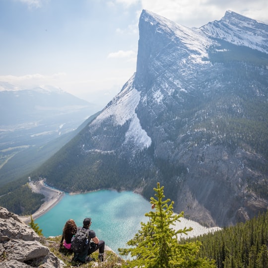
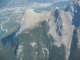
9 - Grassi Lakes
19 km away
The Upper and Lower Grassi Lakes lie at an elevation of about 1,525 m in the southern Canadian Rockies overlooking the town of Canmore, Alberta. They receive their water from the Spray Lakes Reservoir on the Spray River.
Learn more Book this experience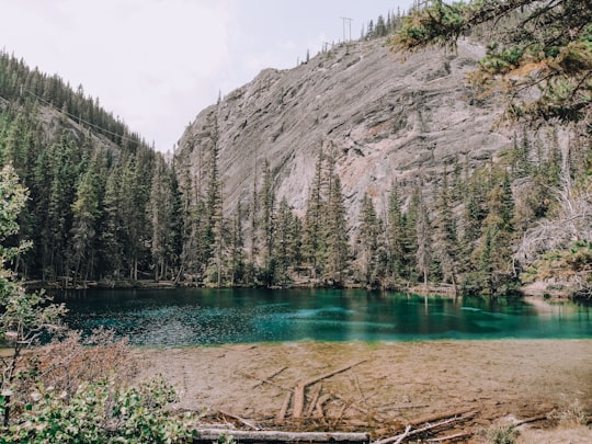

10 - East End of Rundle
20 km away
East End of Rundle is a mountain located immediately west of the town of Canmore, Alberta and immediately west of the Spray Lakes road in the Canadian Rockies.
View on Google Maps Book this experience
11 - Mount Rundle
24 km away
Mount Rundle is a mountain in Canada's Banff National Park overlooking the towns of Banff and Canmore, Alberta. The Cree name was Waskahigan Watchi or house mountain.
Learn more Book this experience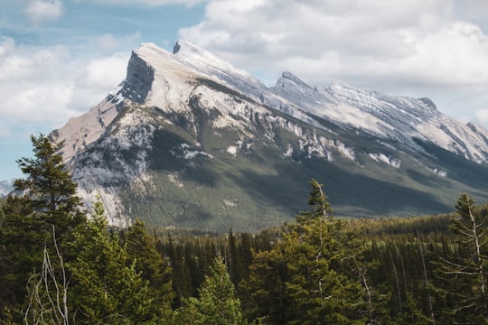
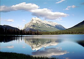
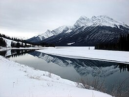
12 - Spray Lakes Reservoir
24 km away
Spray Lakes Reservoir is a reservoir in Alberta, Canada. The Spray Lakes were a string of lakes formed along the Spray River, a tributary of the Bow River. With the damming of the river, the lakes were united in the Spray Lakes Reservoir. It lies between the Goat Range and the Three Sisters ridge, at an elevation of 1,720 meters. The lake is followed by Highway 742 in the northern part. The lake is fed by the following waterways: Bryant Creek Turbulent Creek Currie Creek Watridge Creek Spray River Smuts Creek Spurling Creek
Learn more Book this experience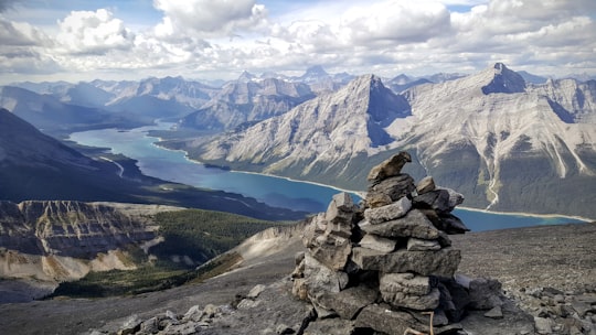
13 - Lake Minnewanka
26 km away
Lake Minnewanka is a glacial lake located in the eastern area of Banff National Park in Canada, about five kilometres northeast of the Banff townsite.
Learn more Book this experience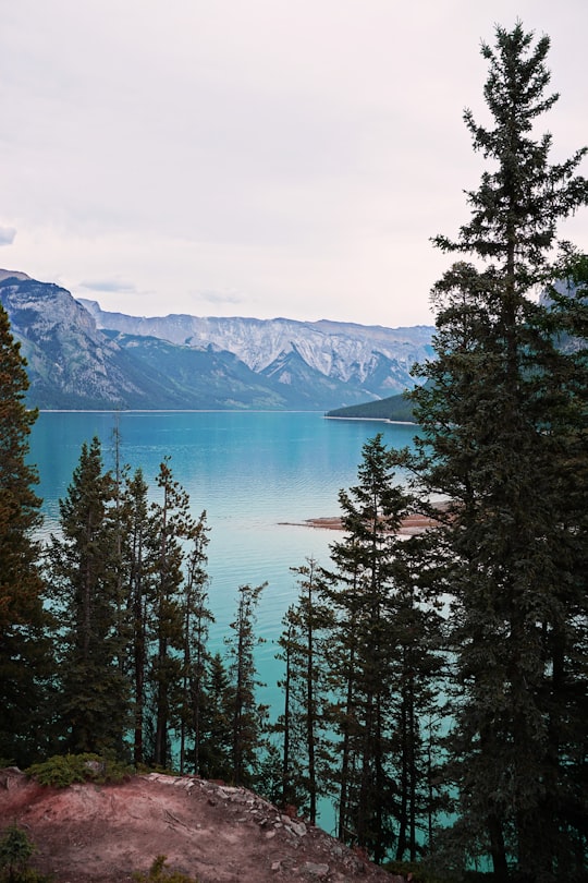
14 - Johnson Lake
28 km away
Learn more

15 - Sulphur Mountain
30 km away
Sulphur Mountain is a mountain in Banff National Park in the Canadian Rocky Mountains overlooking the town of Banff, Alberta, Canada. The mountain was named in 1916 for the hot springs on its lower slopes. George Dawson had referred to this landform as Terrace Mountain on his 1886 map of the area.
Learn more Book this experience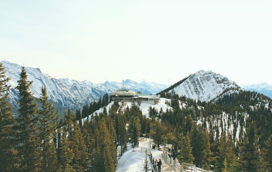

16 - Cone Mountain
31 km away
Cone Mountain is a summit in the Canadian Rockies of Alberta, Canada. It is the southernmost peak in the Sundance Range. Cone Mountain was so named in 1915 on account of its shape.
Learn more Book this experience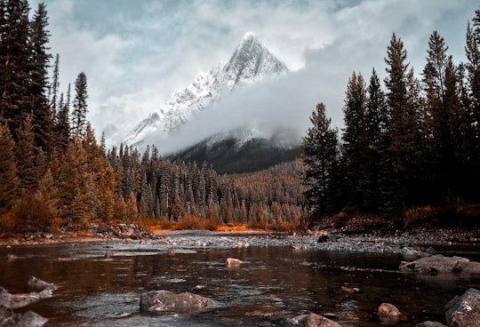
17 - Two Jack Lake
31 km away
Learn more
18 - Prairie Mountain
31 km away
Learn more
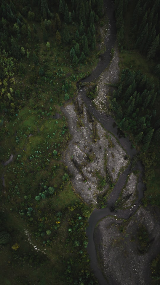
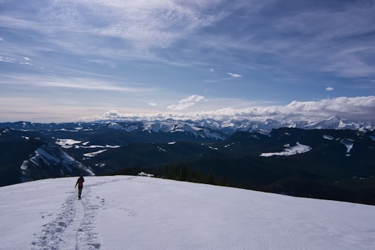
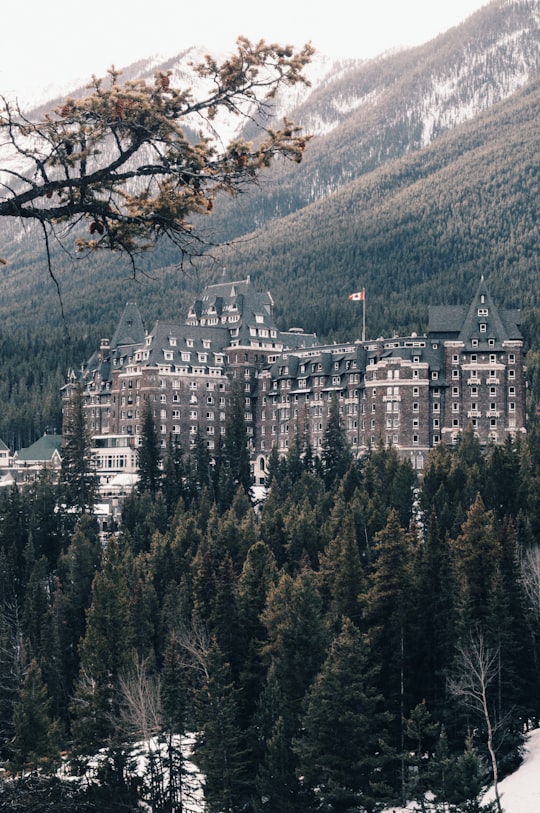
19 - Banff Springs Hotel
32 km away
Learn more
20 - Montain Sulphor Hill Station
32 km away
Learn more

21 - Banff
33 km away
Banff is a town within Banff National Park in Alberta, Canada. It is located in Alberta's Rockies along the Trans-Canada Highway, approximately 126 km west of Calgary and 58 km east of Lake Louise.
Learn more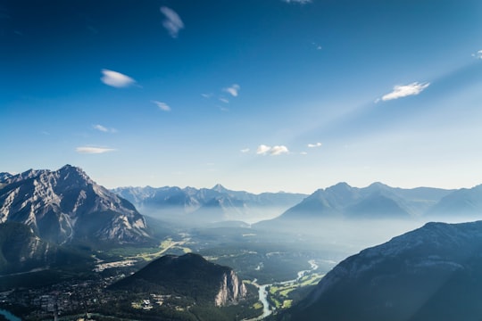
Book Tours and Activities in Kananaskis
Discover the best tours and activities around Kananaskis, Canada and book your travel experience today with our booking partners
Learn More about Kananaskis
Kananaskis is a vast playground of interconnected provincial parks located west of Calgary, Alberta, Canada, in the foothills of the Canadian Rocky Mountains. that offer a range of exceptional wilderness experiences in Canada. Along the Kananaskis Trail, you'll find pristine lakes, pristine waterfalls and rivers, scenic hiking trails and even a charming mountain boutique hotel nestled in the backcountry. This area is home to an abundance of wildlife, so keep your eyes open. If you're lucky, you might spot a moose, bighorn sheep, grizzly bear or black bear.
Visitors can access Kananaskis Country via three highways that connect the region: Highway 40, a 66 km segment of the Bighorn Highway also known as the "Kananaskis Trail"; Highway 66, a 28 km highway starting near Bragg Creek known as the "Elbow Falls Trail"; and Highway 68, a 42 km gravel road leading from the Trans-Canada Highway known as the "Sibbald Creek Trail.
A University of Calgary Ecology and Environmental Science Research Institute is located nearby at Barrier Lake. The Tim Horton Children's Foundation summer camp is also located in the area. Easter Seals Camp Horizon is also located in Kananaskis Country along Highway 66.
The area is named after the Kananaskis River, named in 1858 by John Palliser after a Cree Indian.
Frequently Asked Questions by Travelers planning a trip to Kananaskis
Where to Stay near Kananaskis
Discover the best hotels around Kananaskis, Canada and book your stay today with our booking partner booking.com
More Travel spots to explore around Kananaskis
Click on the pictures to learn more about the places and to get directions
Discover more travel spots to explore around Kananaskis
⛰️ Highland spots ⛰️ Mountain range spots ❄️ Glacial lake spots ⛰️ Hill spots ⛰️ Summit spots ⛰️ Hill station spots 🏞️ Loch spots Dog hiking spots 🌲 Forest spots ⛰️ Mountain spots 🌲 Tropical and subtropical coniferous forests spots 🏞️ Lake spots ❄️ Ski mountaineering spots Adventure spotsTravel map of Kananaskis
Explore popular touristic places around Kananaskis
Download On Google Maps 🗺️📲
