Travel Guide of Elbow Falls in Canada by Influencers and Travelers
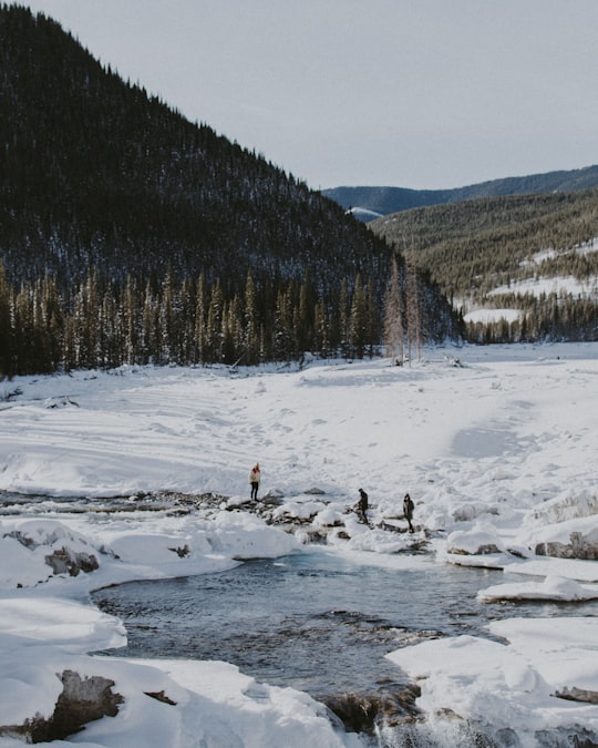
The Elbow River is a river in southern Alberta, Canada. It flows from the Canadian Rockies to the city of Calgary, where it merges into the Bow River.
Download the Travel Map of Canada on Google Maps here
Pictures and Stories of Elbow Falls from Influencers
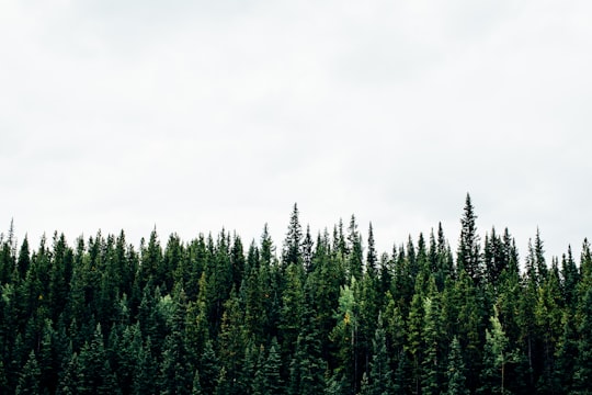
2 pictures of Elbow Falls from Michael Benz, Abben S, and other travelers
Plan your trip in Elbow Falls with AI 🤖 🗺
Roadtrips.ai is a AI powered trip planner that you can use to generate a customized trip itinerary for any destination in Canada in just one clickJust write your activities preferences, budget and number of days travelling and our artificial intelligence will do the rest for you
👉 Use the AI Trip Planner
The Best Things to Do and Visit around Elbow Falls
Disover the best Instagram Spots around Elbow Falls here
1 - Prairie Mountain
Learn more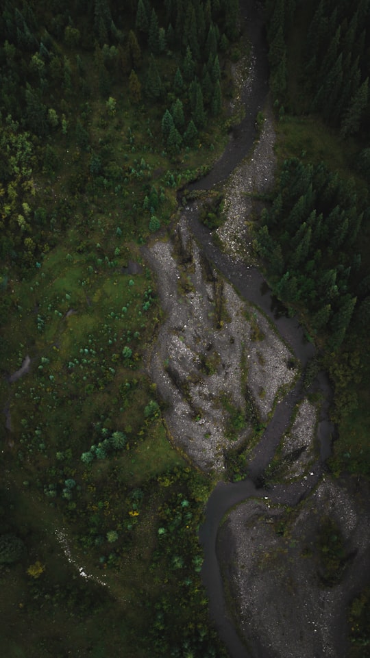
2 - Highwood Pass
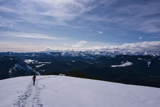
Highwood Pass is a mountain pass in Kananaskis Country, Alberta, Canada. It lies west of Mount Rae and Mount Arethusa of the Misty Range, south of the Elbow Pass. Highwood Pass is the highest paved pass in Canada. It lies within the Peter Lougheed Provincial Park on Alberta Highway 40. The Highwood River originates in the pass.
Learn more Book this experience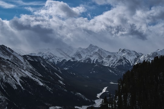

3 - Three Isle Lake Trail
14 km away
Peter Lougheed Provincial Park is a provincial park located in Alberta, Canada. The park is in Kananaskis Country about 90 kilometres west of Calgary, along the Kananaskis Trail. This park is within Alberta's Rocky Mountains.
Learn more Book this experience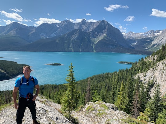

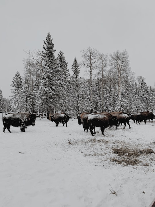
4 - Foothills No. 31
22 km away
Learn more
5 - Barrier Lake
26 km away
Barrier Lake is a man made reservoir at the north end of Kananaskis Country in Alberta, Canada. Highway 40 runs between the lake and Mount Baldy, on the eastern shore. It is entirely located in the Bow Valley Provincial Park. Barrier Lake was created for hydroelectric power generation on the Kananaskis River. The dam that impounds the lake is at the north end of the lake.
Learn more Book this experience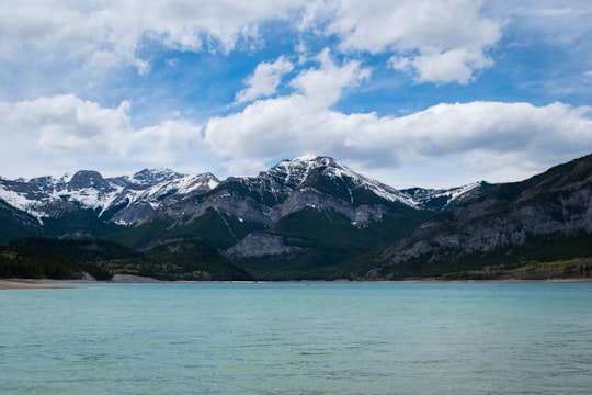
6 - Elbow Lake
27 km away
Elbow Lake is a lake located in the Elbow Pass north of the Highwood pass in Kananaskis Country in Alberta, Canada. Elbow Lake lies at an elevation of 2,120 m and is the headwater of the Elbow River.
Learn more Book this experience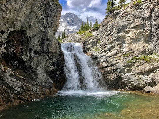
7 - Kananaskis
34 km away
Kananaskis is an unincorporated community in Alberta's Rockies within the Municipal District of Bighorn No. 8 of Alberta, Canada. It is located on Highway 1A approximately 18 km east of Canmore and 54 km west of Cochrane. The community is located on the north shore of the Bow River.
Learn more
8 - Exshaw
34 km away
Exshaw is a hamlet in Alberta, Canada within Municipal District of Bighorn No. 8. Located approximately 90 kilometres west of downtown Calgary and 15 kilometres east of Canmore, Exshaw is situated within the Bow River valley north of the Bow River.
Learn more
9 - Spray Lakes Reservoir
35 km away
Spray Lakes Reservoir is a reservoir in Alberta, Canada. The Spray Lakes were a string of lakes formed along the Spray River, a tributary of the Bow River. With the damming of the river, the lakes were united in the Spray Lakes Reservoir. It lies between the Goat Range and the Three Sisters ridge, at an elevation of 1,720 meters. The lake is followed by Highway 742 in the northern part. The lake is fed by the following waterways: Bryant Creek Turbulent Creek Currie Creek Watridge Creek Spray River Smuts Creek Spurling Creek
Learn more Book this experience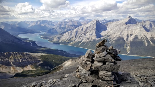
10 - Kananaskis Improvement District
36 km away
Kananaskis Village is an unincorporated community in Alberta's Rockies within the Kananaskis Country park system in the Kananaskis Improvement District of Alberta, Canada.
Learn more
11 - Bow Valley Provincial Park - Kananaskis Country
39 km away
Kananaskis Country is a park system situated to the west of Calgary, Alberta, Canada, in the foothills and front ranges of the Canadian Rockies. The area is named for the Kananaskis River, which was named by John Palliser in 1858 after a Cree acquaintance.
Learn more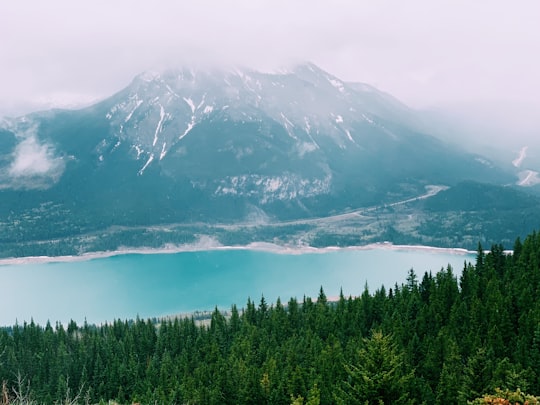
12 - Cochrane
42 km away
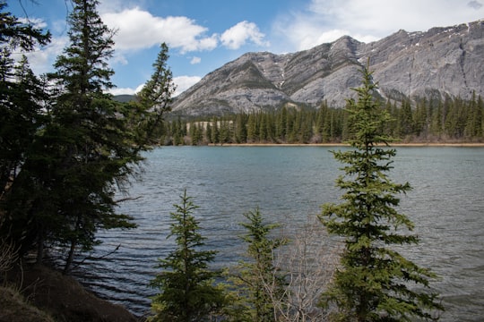
Cochrane is a town in the Canadian province of Alberta. The town is located 18 km west of the Calgary city limits along Highway 1A.
Learn more
Book Tours and Activities in Elbow Falls
Discover the best tours and activities around Elbow Falls, Canada and book your travel experience today with our booking partners
Where to Stay near Elbow Falls
Discover the best hotels around Elbow Falls, Canada and book your stay today with our booking partner booking.com
More Travel spots to explore around Elbow Falls
Click on the pictures to learn more about the places and to get directions
Discover more travel spots to explore around Elbow Falls
🏞️ River spots 🌲 Tropical and subtropical coniferous forests spotsTravel map of Elbow Falls
Explore popular touristic places around Elbow Falls
Download On Google Maps 🗺️📲
