Travel Tips and Stories of Chitkul in India
Find inspiration with pictures, tips and stories of Chitkul from travelers sharing their experiences
Book your trip to Chitkul and remunerate who inspired you
Travel guide of Chitkul
Find inspiration with pictures, tips and stories of Chitkul from travelers sharing their experiences
Book your trip to Chitkul and remunerate who inspired you
Travel guide of Chitkul
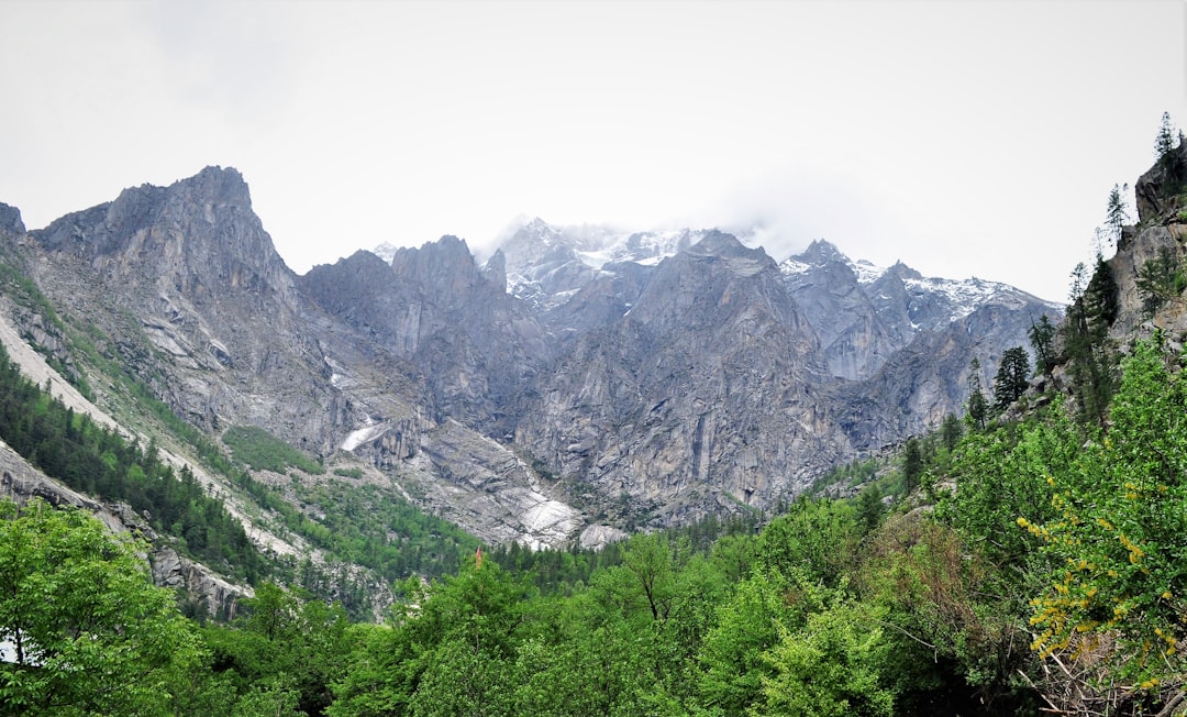
8 km from Chitkul
The Kinner Kailash range in Kinnaur district of Himachal Pradesh is located in proximity to the Indo-Tibetan border at a height of 17200 ft above sea level. It is also among the remotest and the less explored regions of Himachal which is breathtakingly scenic.

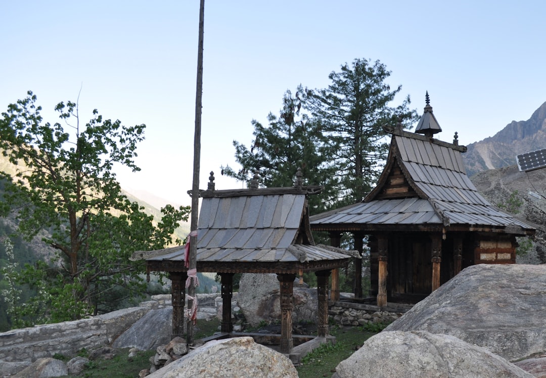
8 km from Chitkul
Apart from its tranquility and natural beauty, Chhitkul is also famous for potato farming and trout fishing. The potatoes of this region are one of the best and costliest in the world. The Sangla valley from Sangla to Chhitkul, specially the villages of Rakchham, Batseri & Chhitkul, is a nature lovers paradise. One side of the road are the snow-clad mountains and the other side is full of orchards of fruits like apricots, peaches, chilgoza and apples dotted by wooden houses. The powerful goddess of Chhitkul is the only non-Buddhist deity to which respect must be paid by the Parikrama pilgrim

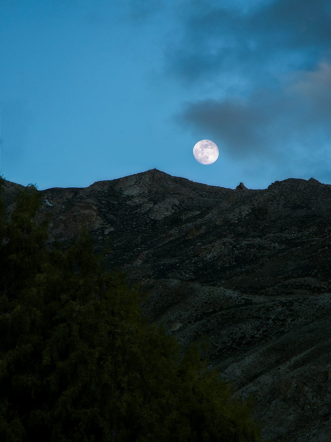
18 km from Chitkul
Watching the clear sky with this beautiful moon was amazing. The whole scene felt soothing to my eyes. 🌕

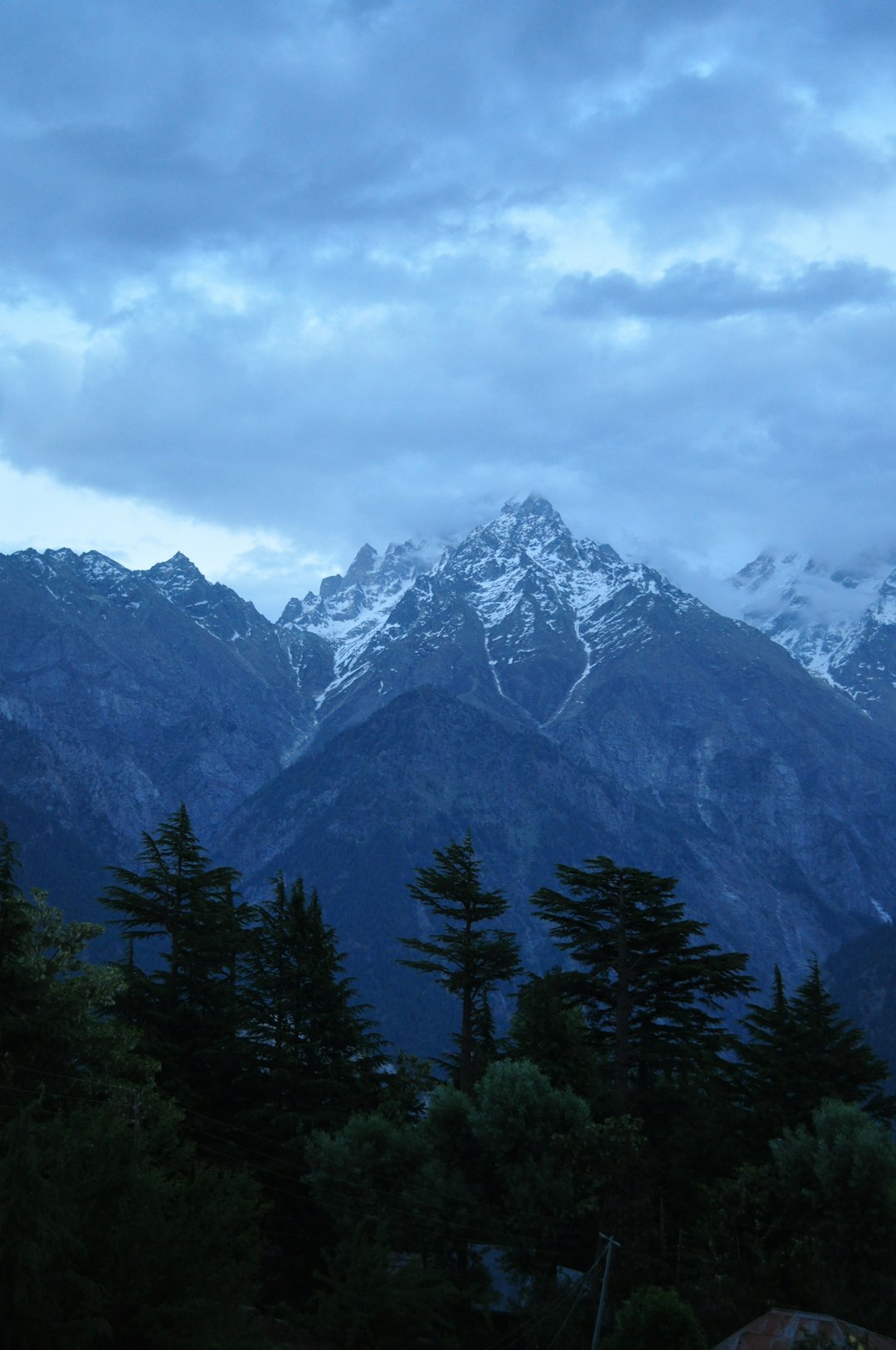
27 km from Chitkul
Kalpa is most famous for some of the best views of Kinner Kailash range of Himalayas. You can also view the Shivling Peak from Kalpa that changes colour through the day. These mountains are considered sacred both by the Hindus and Buddhists. As per mythological beliefs, it is believed that Kinner Kailash range of Himalayas is the winter home of Lord Shiva. He comes to this place in winters when the climate is perfect for meditating. You can see these peaks from most places in Kalpa town.

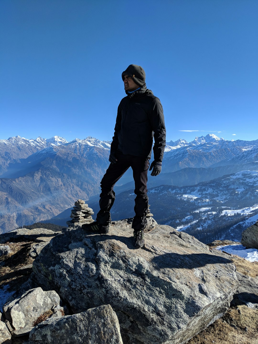
44 km from Chitkul
Kedarkantha is a mountain peak of the Himalayas in Uttarakhand, India. Its elevation is 12,500 ft. Kedarkantha is located within Govind Wildlife Sanctuary in Uttarkashi district. The climb to the peak of Kedarkantha starts from a small village called as Sankri. In this picture you can see Sahil Mhapsekar an on the mountain peak of kedarkantha.
 Experienced by Sahil Mhapsekar
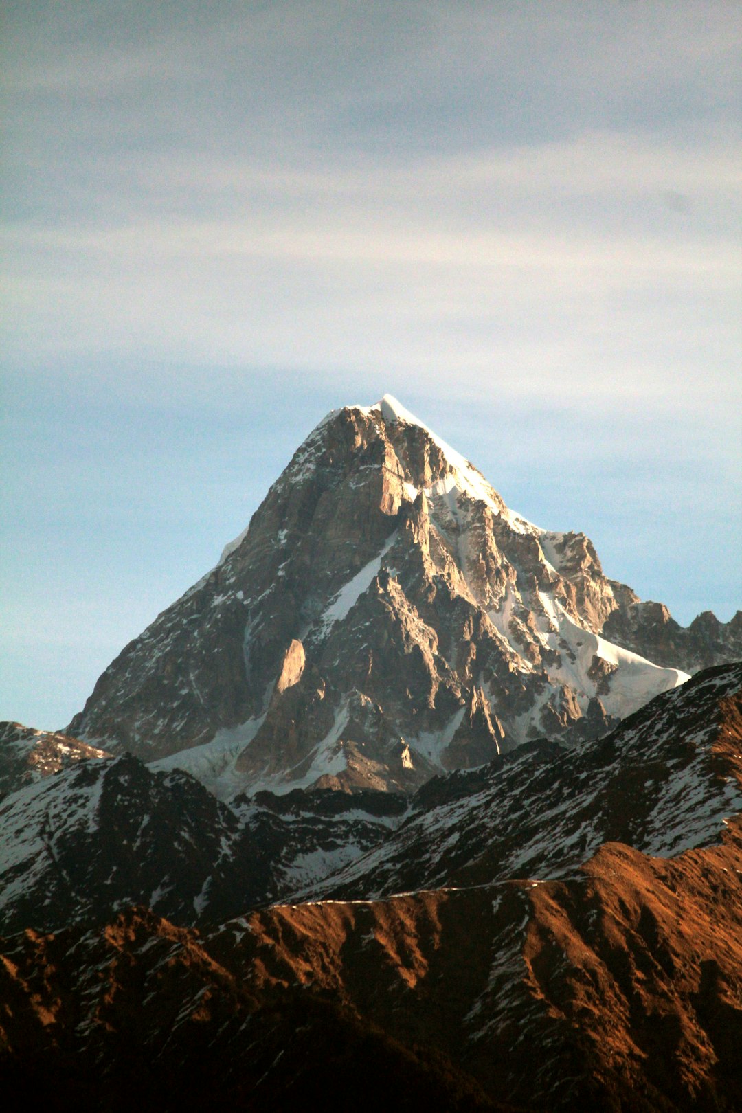
62 km from Chitkul
Shivling is a mountain at tapovan in the Gangotri Group of peaks in the western Garhwal Himalaya, near the snout of the Gangotri Glacier. It lies in the northern Indian state of Uttarakhand, 6 kilometres (4 mi) south of the Hindu holy site of Gaumukh (the source of the Bhagirathi River).
 Experienced by Narayan Gopalan
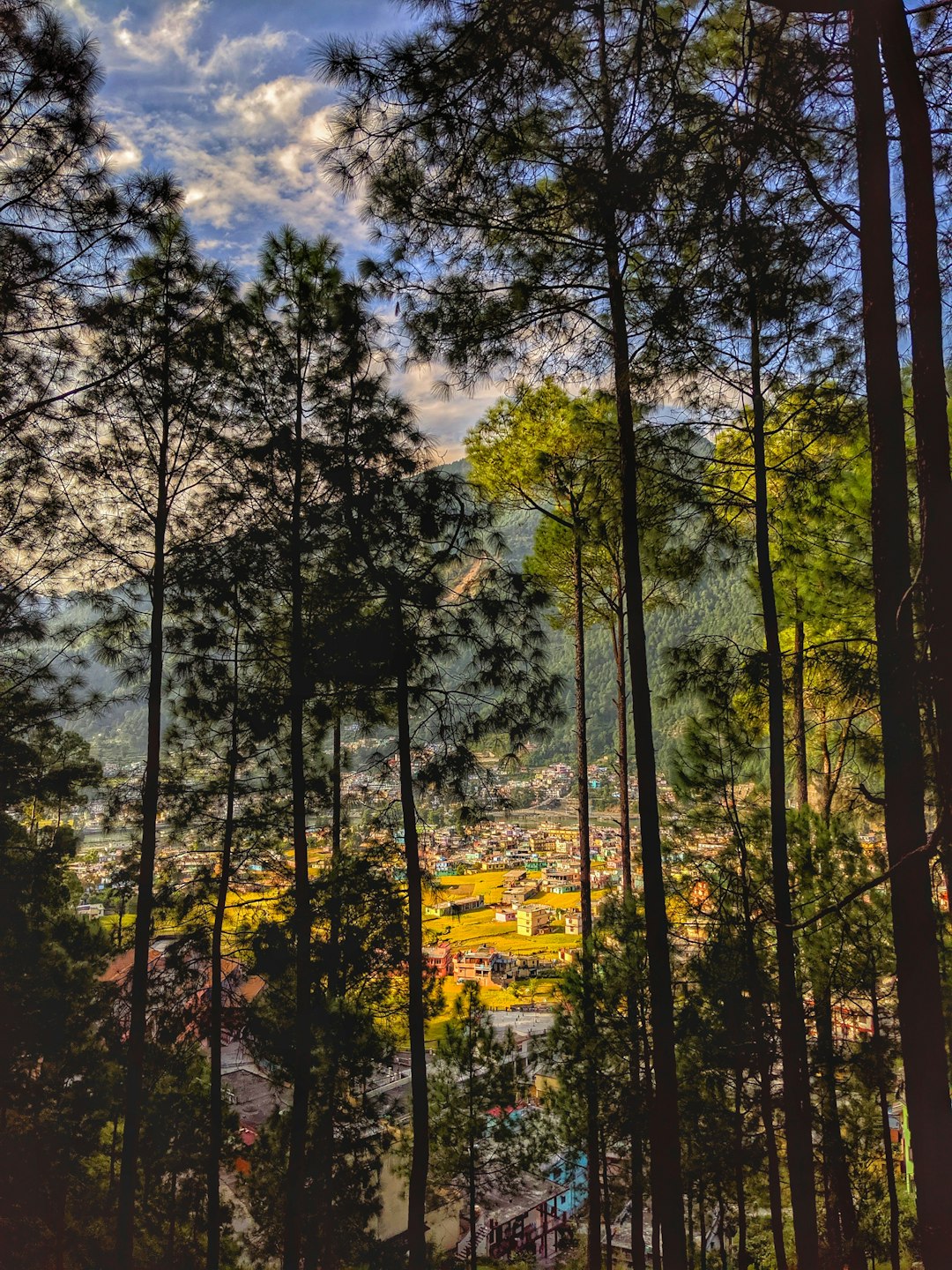
69 km from Chitkul
Between the shades. The town of Uttarkashi as seen from the Nehru Institute of Mountaineering.

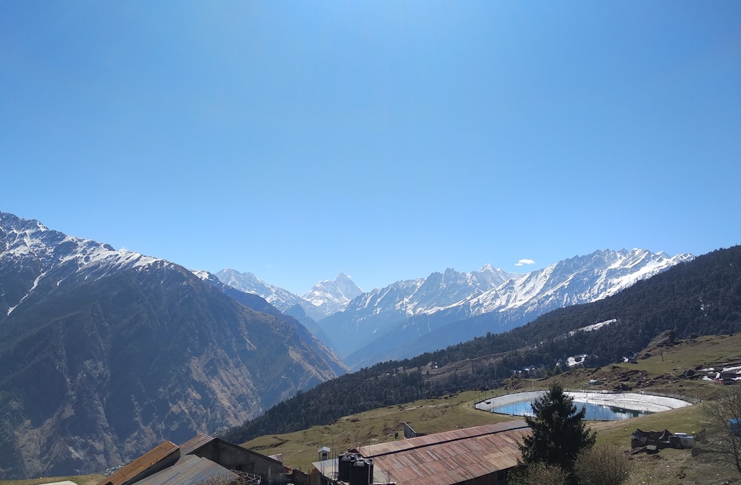
79 km from Chitkul
The photo taken from a hike trail Auli in Uttarakhand, offers a splendid view of the Himalayas surrounded by fluffy clouds in the blue sky.

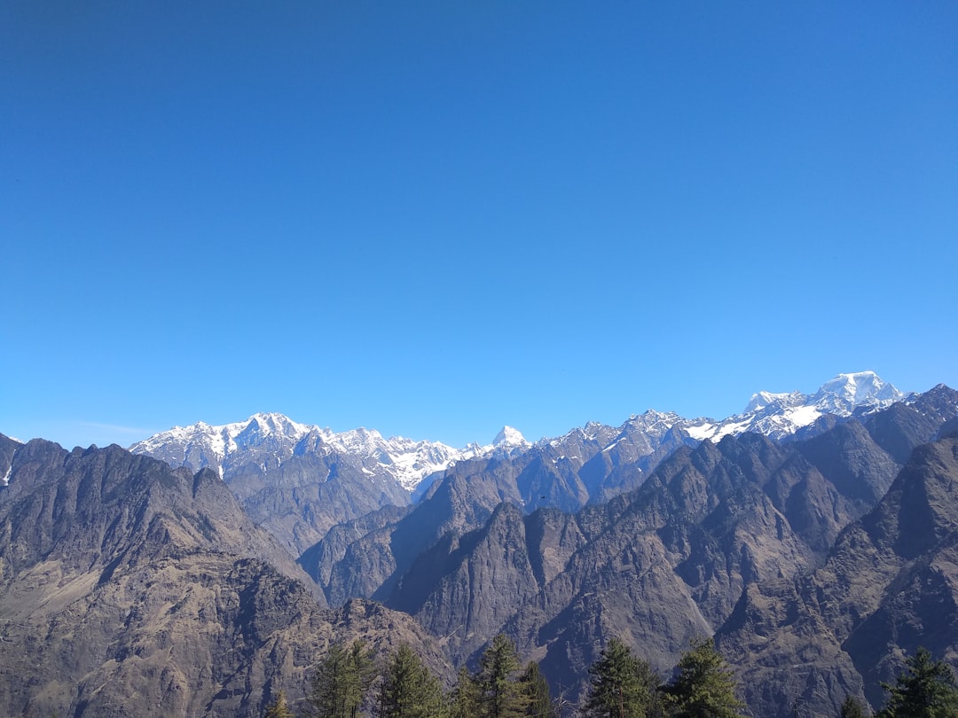
79 km from Chitkul
The photo taken from a hike trail Auli in Uttarakhand, offers a splendid view of the Himalayas surrounded by fluffy clouds in the blue sky.

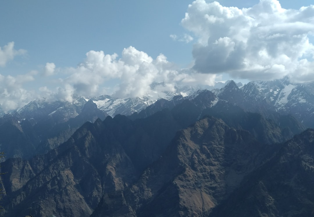
79 km from Chitkul
The photo taken from a hike trail Auli in Uttarakhand, offers a splendid view of the Himalayas surrounded by fluffy clouds in the blue sky.

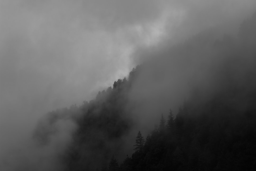
104 km from Chitkul
A place at around 8000 feet above the sea level in Uttarakhand, India - Dhanolti. The place is covered by clouds almost always. It's a magical place!
 Experienced by amitabh choudhury
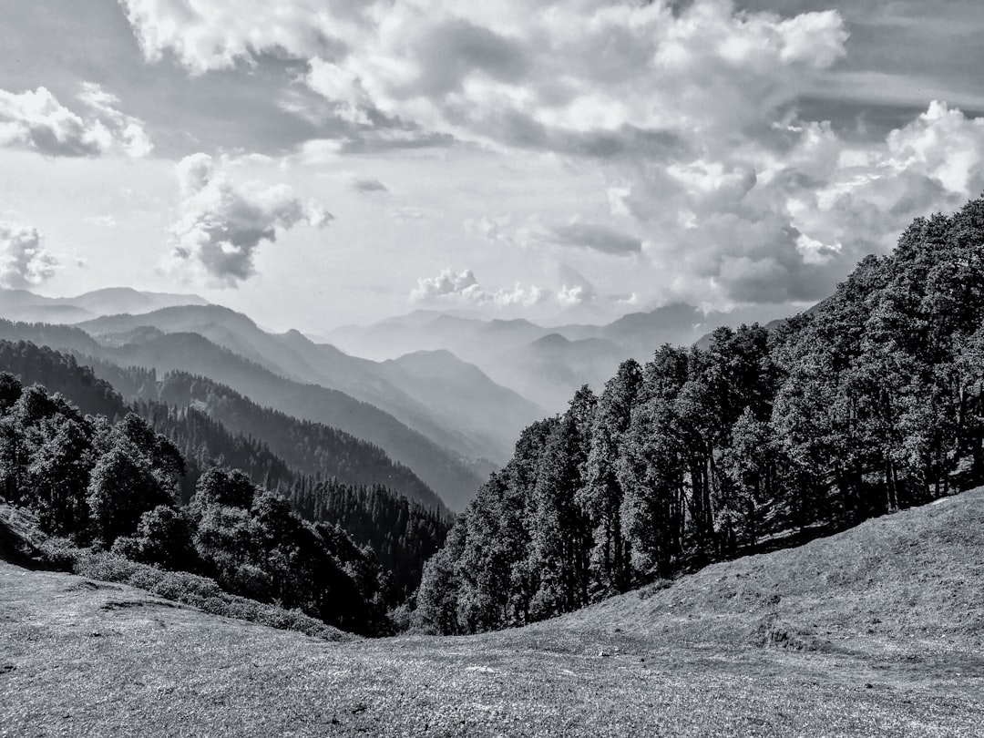
106 km from Chitkul
A view of the HImalayan range of mountains from the meadows, just after rains, in black and white.

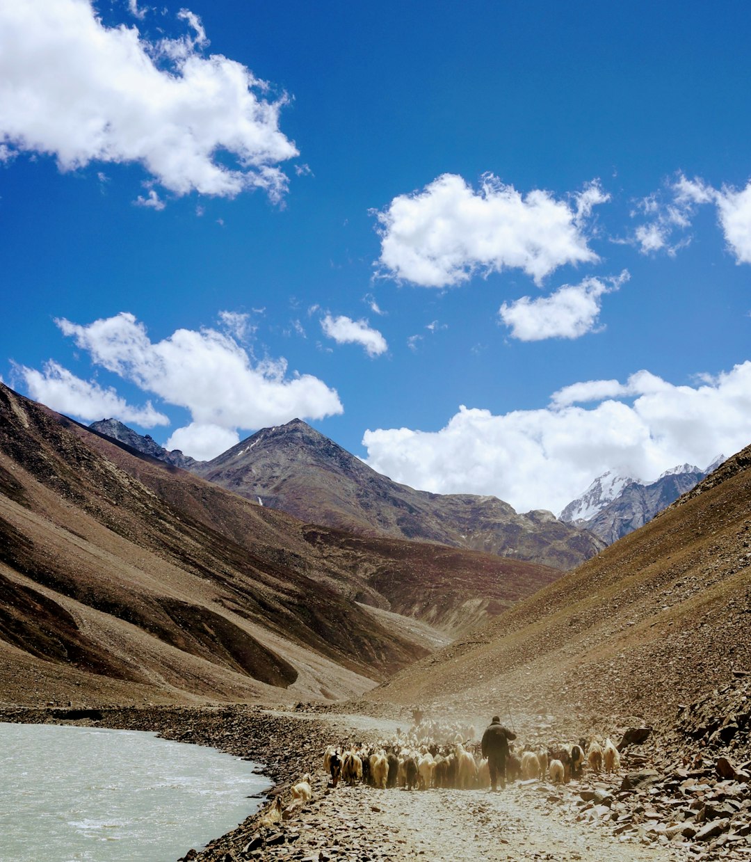
107 km from Chitkul
Caught this shot while trekking in the Spiti Valley of northern India. The herd was covering the entire road.

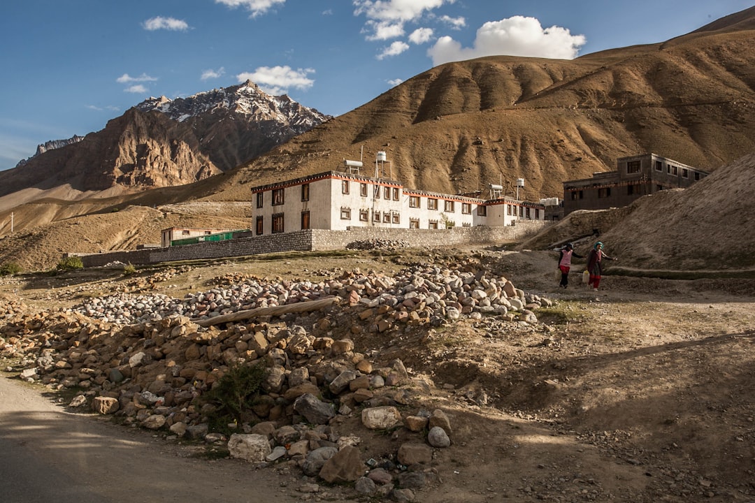
107 km from Chitkul
This is the first village in Spiti we arrived at. I was instantly fascinated by the level of Tibetan influence in these Indian mountains. Architecture based on buddhist monasteries (monastic design) in the backdrop of massive barren mountains is a popular theme here. Access to the rest of the state is limited from here and life, as seen here, can be quite tough.
 Experienced by Ayesha Parikh
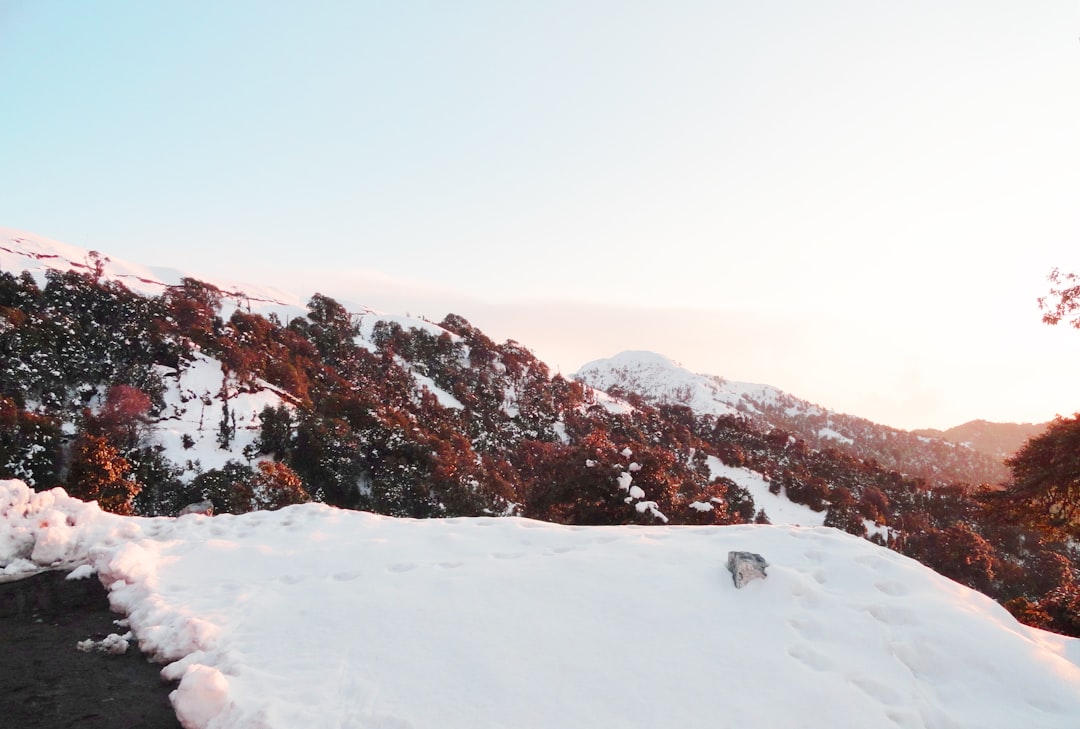
108 km from Chitkul
Fresh Snow, Frozen Roads, Red leaves, Solo Trip, Noone is around, The kind of life I want.

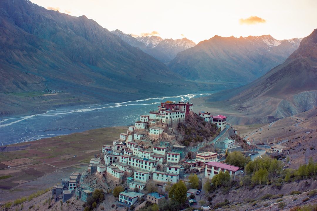
113 km from Chitkul
It took about 1 hr of climbing an almost straight mountain at 4300 meters above sea level to reach this point. Took the air out of our lungs but the sunset and the view were definitely worth it.

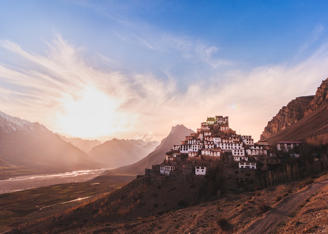
113 km from Chitkul
Beautiful Sunsets Need Cloudy Skies ⛅ ---------------- 🚩 Key Monastery, Spiti, Himachal Pradesh 📆 5th of June, 2019 📷 Canon 60D

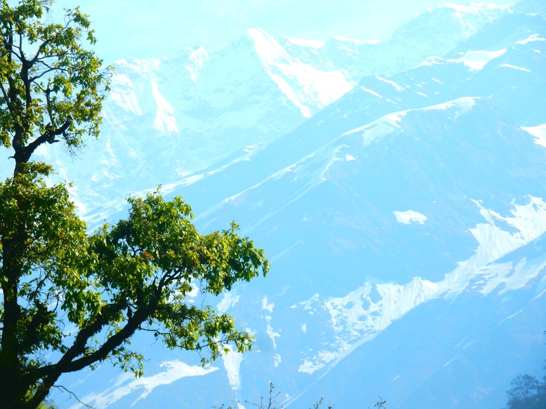
114 km from Chitkul
Rudraprayag is a town and a municipality in Rudraprayag district in the Indian state of Uttarakhand. Rudraprayag is one of the Panch Prayag (five confluences) of Alaknanda River, the point of confluence of rivers Alaknanda and Mandakini. Kedarnath, a Hindu holy town is located 86 km from Rudraprayag. The man-eating Leopard of Rudraprayag hunted and written about by Jim Corbett dwelled here.
![]() Experienced by akash selma
Experienced by akash selma
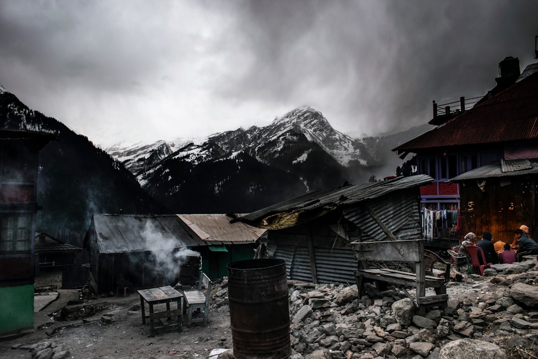
119 km from Chitkul
It was after the first snowfall in Tosh, a small village in the himalayan foothills. Just a pleasant sight with mist coming in with people warming up near a bonfire.
 Experienced by Alakesh Baniya
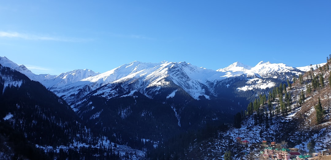
119 km from Chitkul
A small village located in Parvati Valley, in the foothills of the Himalayas. The trek is 2-3 hours from Kasol and is a stoner's paradise.
 Experienced by Ankit Choudhary