Travel Tips and Stories of Chakrata in India
Find inspiration with pictures, tips and stories of Chakrata from travelers sharing their experiences
Book your trip to Chakrata and remunerate who inspired you
Travel guide of Chakrata
Find inspiration with pictures, tips and stories of Chakrata from travelers sharing their experiences
Book your trip to Chakrata and remunerate who inspired you
Travel guide of Chakrata
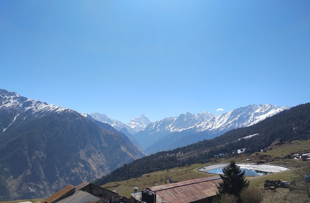
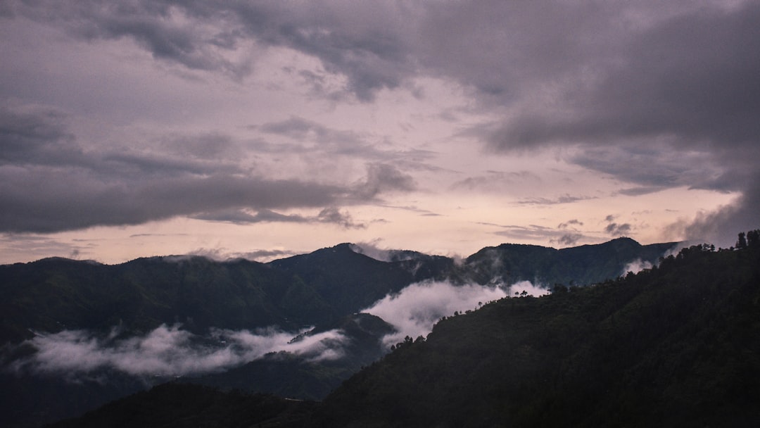
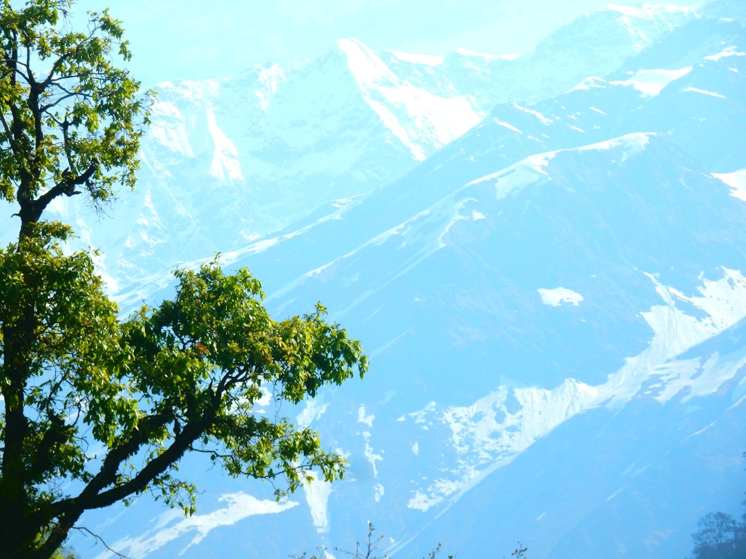
30 km from Chakrata
The photo taken from a hike trail Auli in Uttarakhand, offers a splendid view of the Himalayas surrounded by fluffy clouds in the blue sky.

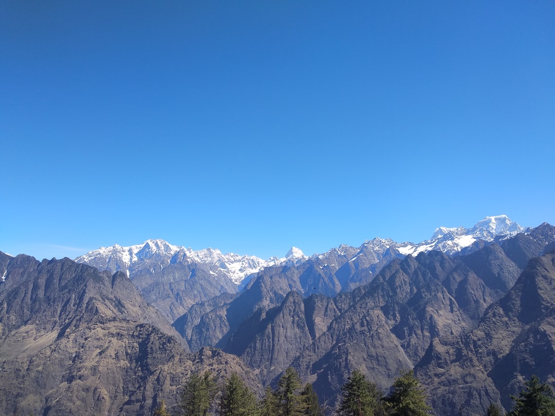
30 km from Chakrata
The photo taken from a hike trail Auli in Uttarakhand, offers a splendid view of the Himalayas surrounded by fluffy clouds in the blue sky.
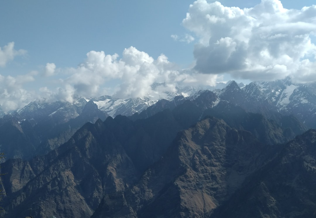
30 km from Chakrata
The photo taken from a hike trail Auli in Uttarakhand, offers a splendid view of the Himalayas surrounded by fluffy clouds in the blue sky.
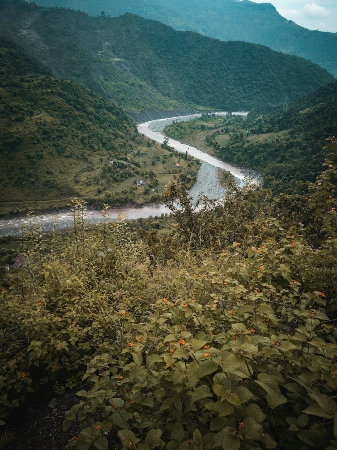
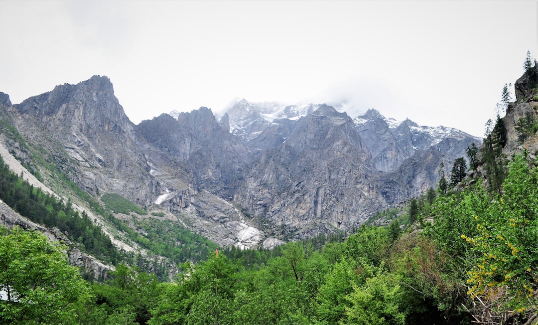
43 km from Chakrata
Jalaal River flowing near Khadri Village and making a S-Curve. Found this spot to capture this beautiful valley.
 Experienced by Anirudh Thakur
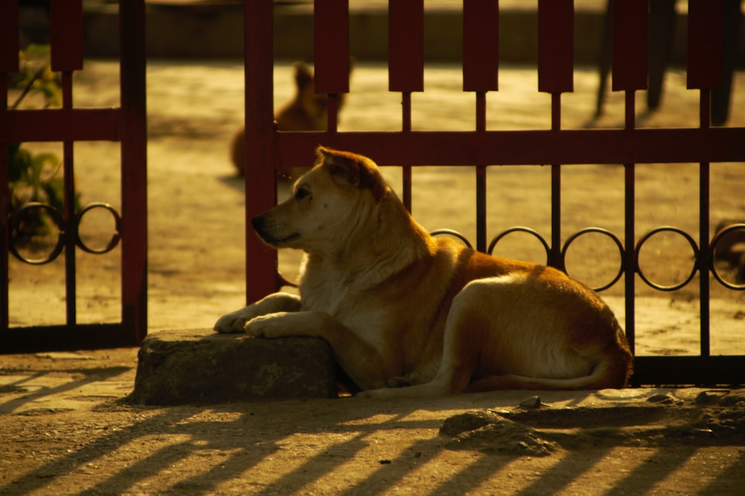
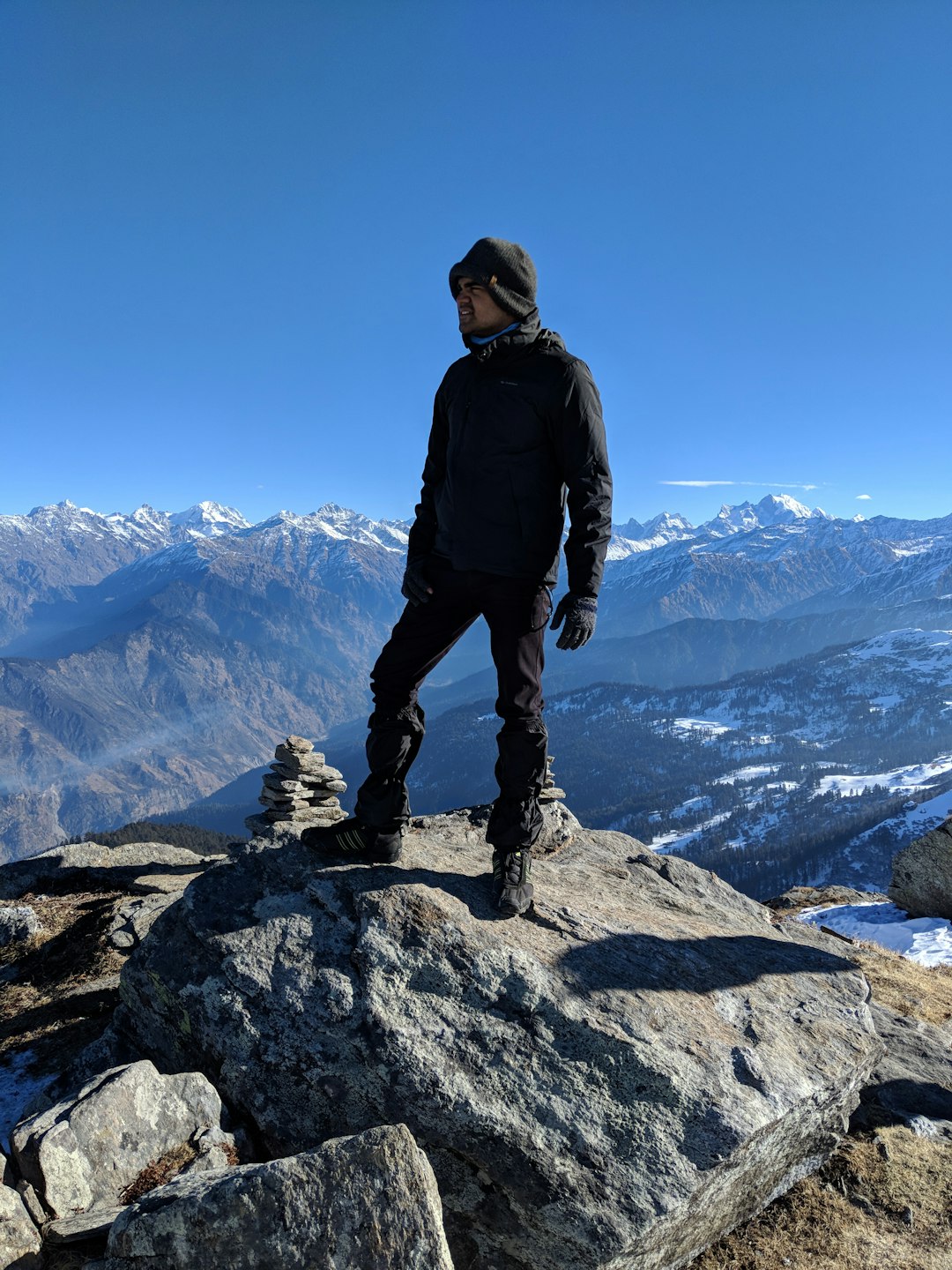
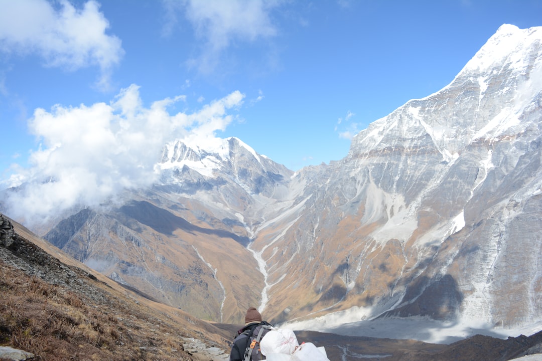
46 km from Chakrata
Found this dog outside my house, He's always protecting my neighbor's house. He seems quite protective.

46 km from Chakrata
Kedarkantha is a mountain peak of the Himalayas in Uttarakhand, India. Its elevation is 12,500 ft. Kedarkantha is located within Govind Wildlife Sanctuary in Uttarkashi district. The climb to the peak of Kedarkantha starts from a small village called as Sankri. In this picture you can see Sahil Mhapsekar an on the mountain peak of kedarkantha.
 Experienced by Sahil Mhapsekar
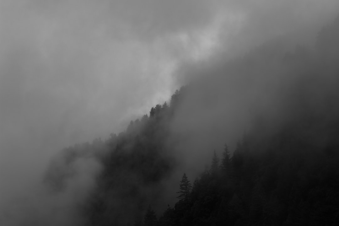
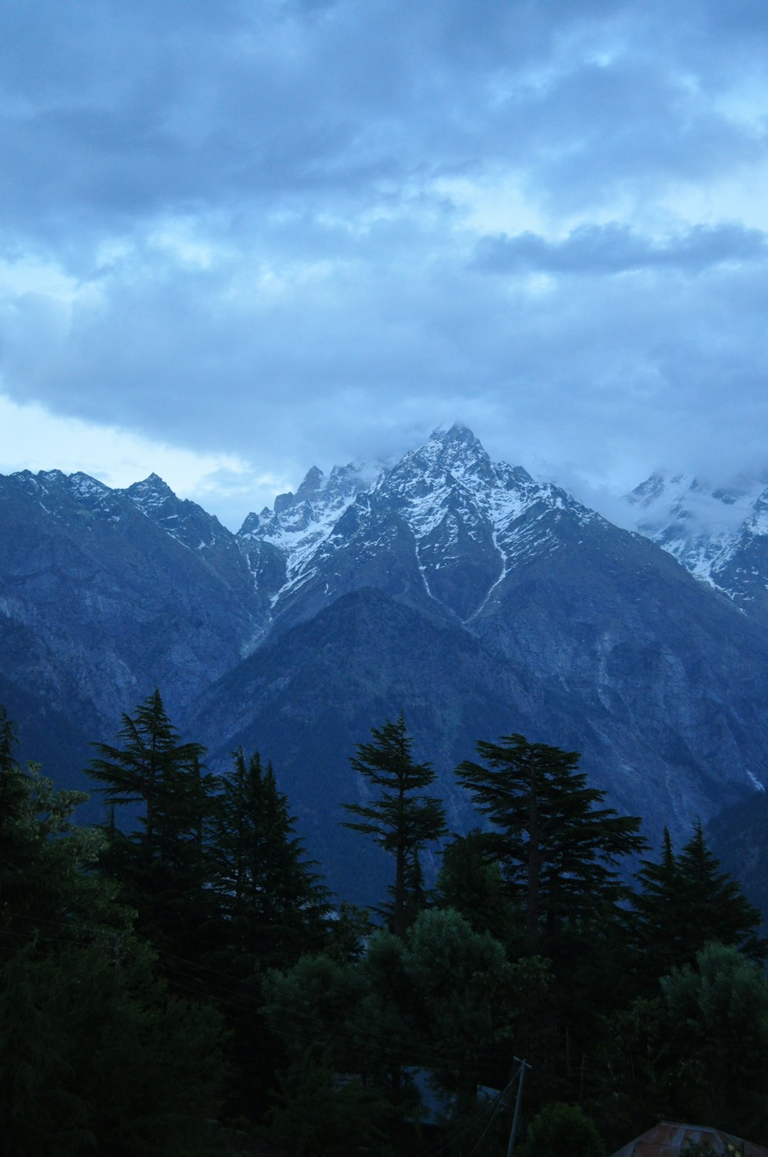
47 km from Chakrata
A place at around 8000 feet above the sea level in Uttarakhand, India - Dhanolti. The place is covered by clouds almost always. It's a magical place!
 Experienced by amitabh choudhury
57 km from Chakrata
The shot was captured near Jaitak Fort in Nahan, District Sirmour. The shot was captured on OnePlus 7T and edited in Lightoom.
Experienced by Anirudh Thakur
72 km from Chakrata
an early morning 5800ft. above, end to a creative rut and a breathtaking sky, this picture means a lot to me.

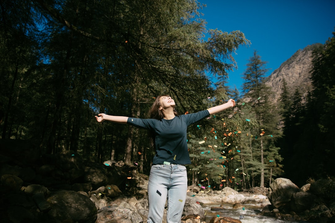
80 km from Chakrata
I think one clothing that makes women super comfortable and stylish are T-shirt that you can wear for all casual occasions. Style, the fabric quality are very important along with colours when you choose that t-shirt for your casual look. If you are hunting for a perfect go-to T-shirt brand online then I think Bewakoof.com has some coolest t-shirt in the town and guess what all the tees are value for money. https://www.bewakoof.com/men-t-shirts?utm_source=quora&utm_medium=social
 Experienced by rachel dsouza
89 km from Chakrata
The Kinner Kailash range in Kinnaur district of Himachal Pradesh is located in proximity to the Indo-Tibetan border at a height of 17200 ft above sea level. It is also among the remotest and the less explored regions of Himachal which is breathtakingly scenic.

89 km from Chakrata
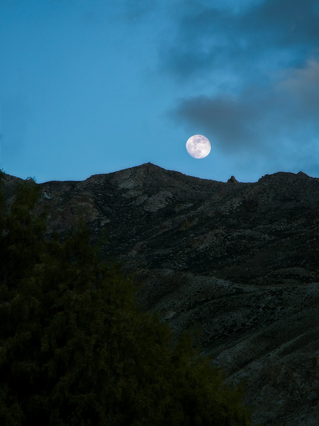
Watching the clear sky with this beautiful moon was amazing. The whole scene felt soothing to my eyes. 🌕

89 km from Chakrata
Apart from its tranquility and natural beauty, Chhitkul is also famous for potato farming and trout fishing. The potatoes of this region are one of the best and costliest in the world. The Sangla valley from Sangla to Chhitkul, specially the villages of Rakchham, Batseri & Chhitkul, is a nature lovers paradise. One side of the road are the snow-clad mountains and the other side is full of orchards of fruits like apricots, peaches, chilgoza and apples dotted by wooden houses. The powerful goddess of Chhitkul is the only non-Buddhist deity to which respect must be paid by the Parikrama pilgrim
94 km from Chakrata
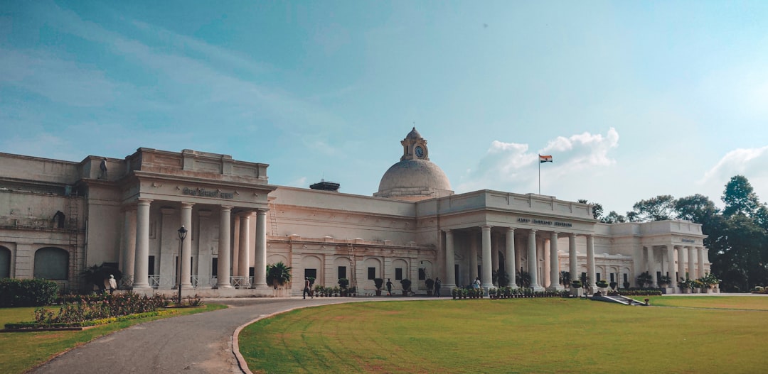
James Thomson's Building at IIT Roorkee is an architectural marvel built-in the 1800s. Being a student there we celebrate this photogenic beauty all the time.
 Experienced by Ayaneshu Bhardwaj
100 km from Chakrata
Kalpa is most famous for some of the best views of Kinner Kailash range of Himalayas. You can also view the Shivling Peak from Kalpa that changes colour through the day. These mountains are considered sacred both by the Hindus and Buddhists. As per mythological beliefs, it is believed that Kinner Kailash range of Himalayas is the winter home of Lord Shiva. He comes to this place in winters when the climate is perfect for meditating. You can see these peaks from most places in Kalpa town.
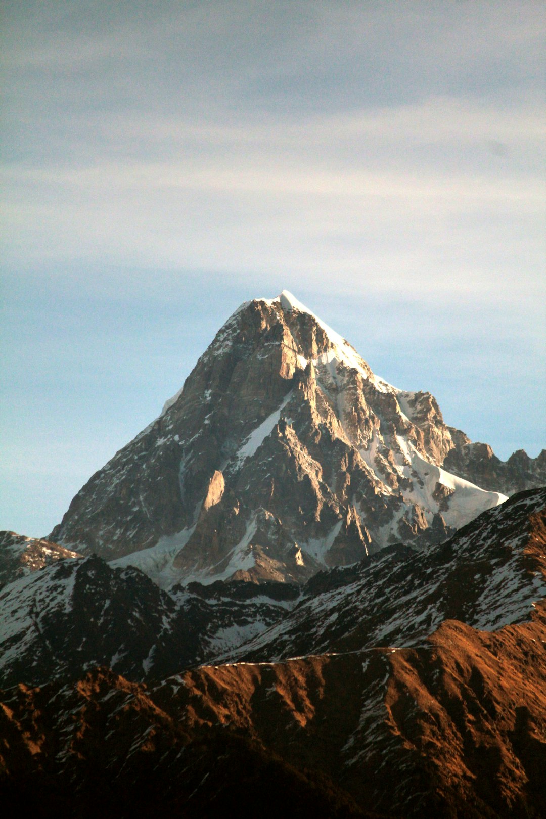
107 km from Chakrata
Shivling is a mountain at tapovan in the Gangotri Group of peaks in the western Garhwal Himalaya, near the snout of the Gangotri Glacier. It lies in the northern Indian state of Uttarakhand, 6 kilometres (4 mi) south of the Hindu holy site of Gaumukh (the source of the Bhagirathi River).
 Experienced by Narayan Gopalan
117 km from Chakrata
Rudraprayag is a town and a municipality in Rudraprayag district in the Indian state of Uttarakhand. Rudraprayag is one of the Panch Prayag (five confluences) of Alaknanda River, the point of confluence of rivers Alaknanda and Mandakini. Kedarnath, a Hindu holy town is located 86 km from Rudraprayag. The man-eating Leopard of Rudraprayag hunted and written about by Jim Corbett dwelled here.
Experienced by akash selma
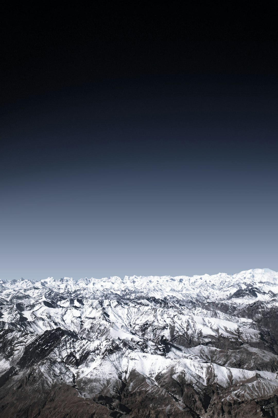
118 km from Chakrata
This photo was taken from an airplane hovering on top Leh, India with a sight of the mighty Himalayas in winter which was an amazing sight to look at.

131 km from Chakrata
That’s not just a picture, it is a wonderful experience traveling at Trishul and Nanda gumti mountain.

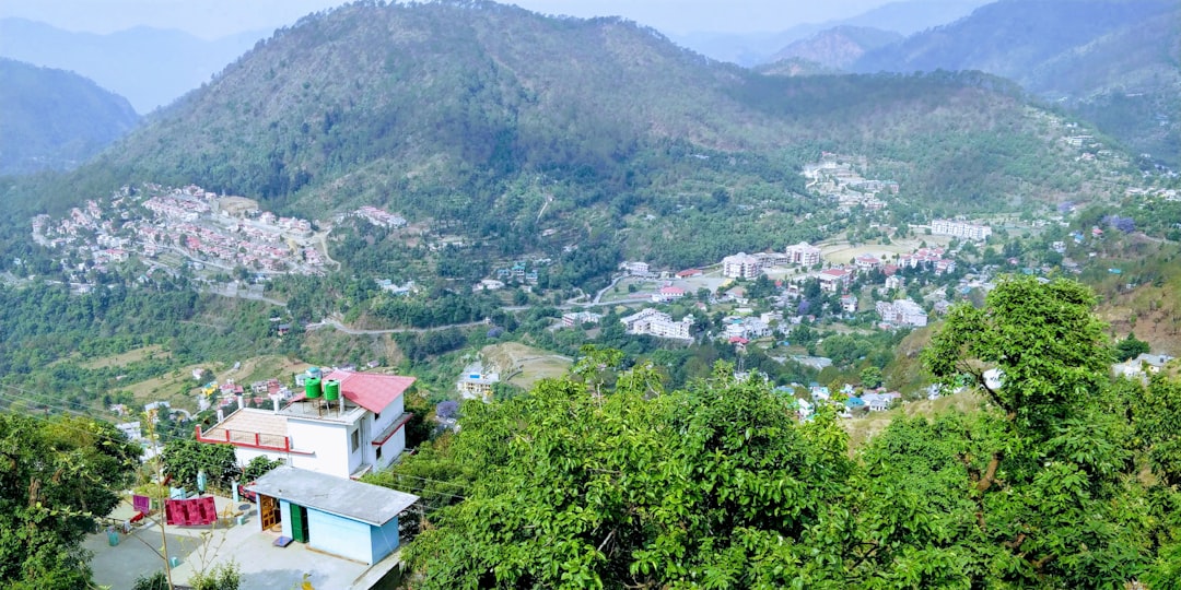
131 km from Chakrata
Went for a jog and saw this amazing view of the entire city in India. A lively city in a valley surrounded by mountains
 Experienced by Madhur Chadha