Travel Guide of Cao Lãnh in Vietnam by Influencers and Travelers
Cao Lãnh is the capital city of Đồng Tháp Province, Vietnam. It is located at around 10°28′2″N 105°37′49″E.
The Best Things to Do and Visit in Cao Lãnh
TRAVELERS TOP 2 :
1 - Cái Bè
35 km away
Cái Bè is a river-land mixed town in Vietnam. It is a rural district of Tiền Giang Province in the Mekong Delta region of Vietnam. Along the river, there are docks that handle passengers and goods, and the floating market. Cái Bè is the north shore of Mỹ Thuận bridge, the gateway to the city of Vĩnh Long and the Cửu Long River Delta. As of 2003, the district had a population of 290,457. The district covers an area of 421 km². The district capital lies at Cái Bè.
Learn more

2 - Tân Thạnh District
45 km away
Tân Thạnh is a rural district of Long An Province in the Mekong Delta region of Vietnam. As of 2003 the district had a population of 78,970. The district covers an area of 408 km². The district capital lies at Tân Thạnh township.
Learn more
Disover the best Instagram Spots around Cao Lãnh here
Book Tours and Activities in Cao Lãnh
Discover the best tours and activities around Cao Lãnh, Vietnam and book your travel experience today with our booking partners
Pictures and Stories of Cao Lãnh from Influencers
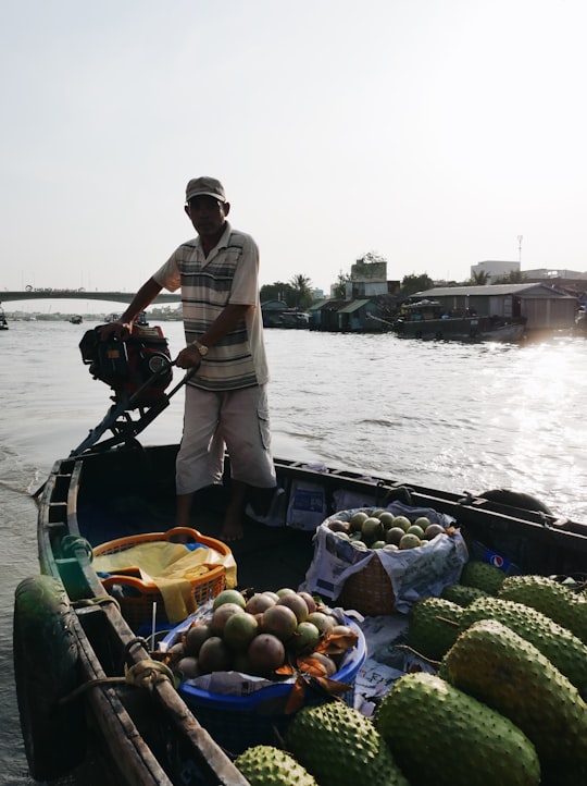
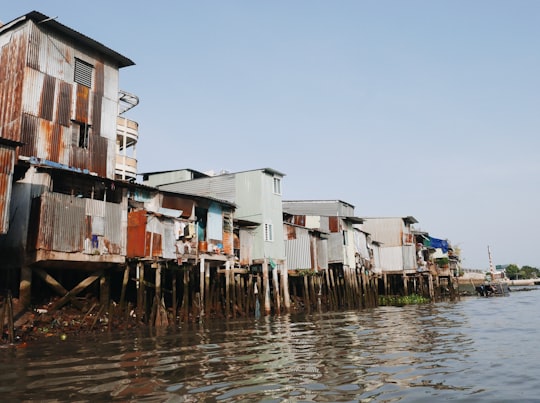
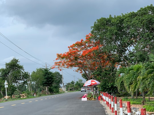
2 pictures of Cao Lãnh from MI PHAM, , and other travelers
Plan your trip in Cao Lãnh with AI 🤖 🗺
Roadtrips.ai is a AI powered trip planner that you can use to generate a customized trip itinerary for any destination in Vietnam in just one clickJust write your activities preferences, budget and number of days travelling and our artificial intelligence will do the rest for you
👉 Use the AI Trip Planner
Why should you visit Cao Lãnh ?
Travel to Cao Lãnh if you like:
Where to Stay in Cao Lãnh
Discover the best hotels around Cao Lãnh, Vietnam and book your stay today with our booking partner booking.com
More Travel spots to explore around Cao Lãnh
Click on the pictures to learn more about the places and to get directions
Discover more travel spots to explore around Cao Lãnh
🏃♂️ Running spots 🏰 Temple spotsTravel map of Cao Lãnh
Explore popular touristic places around Cao Lãnh

