Travel Guide of Multnomah Falls in United States by Influencers and Travelers
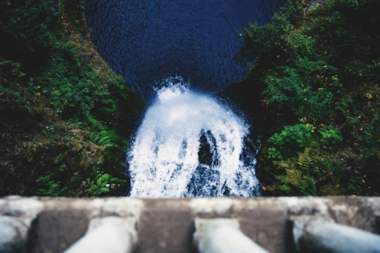
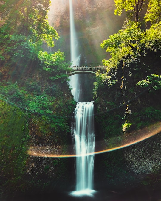
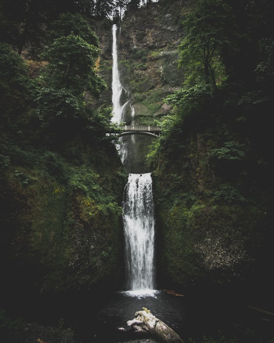
Multnomah Falls is a waterfall located on Multnomah Creek in the Columbia River Gorge, east of Troutdale, between Corbett and Dodson, Oregon, United States. The waterfall is accessible from the Historic Columbia River Highway and Interstate 84.
Pictures and Stories of Multnomah Falls from Influencers
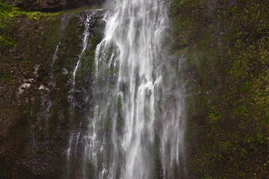
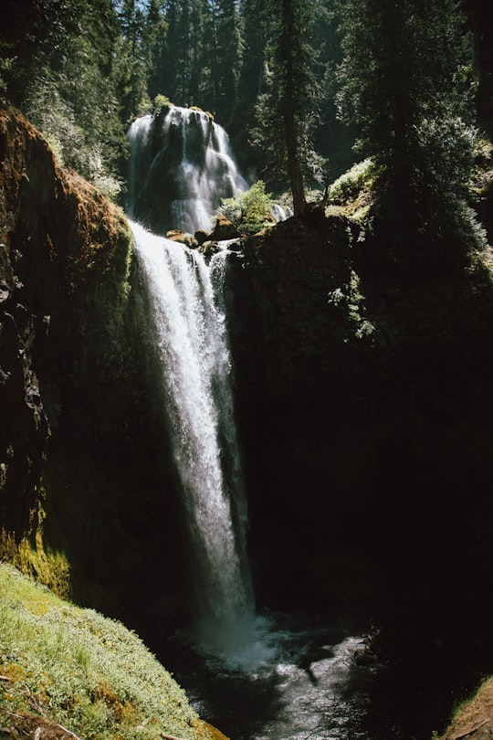
11 pictures of Multnomah Falls from Susan Yin, Austin Neill, Meriç Dağlı and other travelers
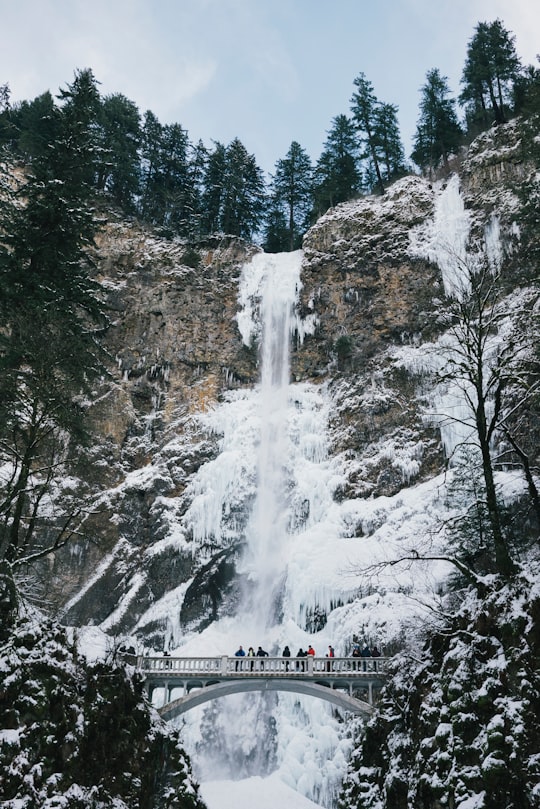
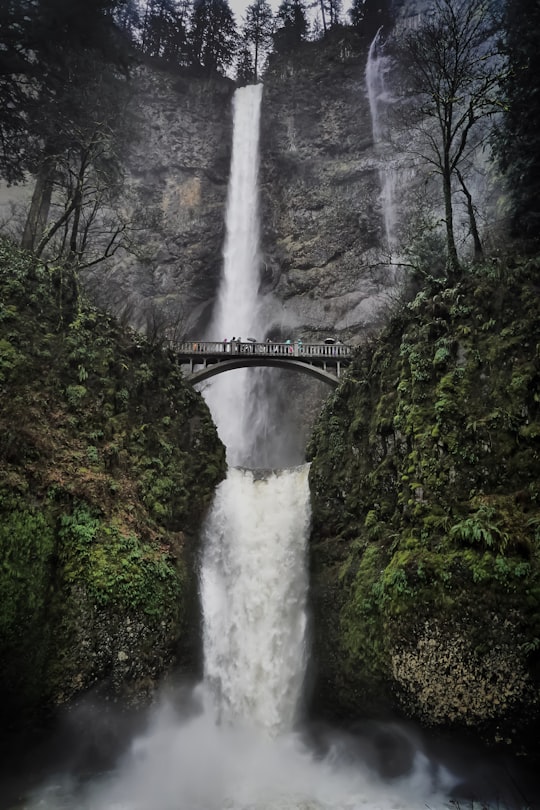
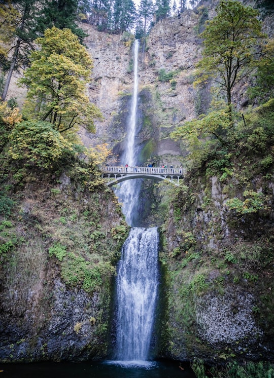
- Bridge near a wintry waterfall ...click to read more
- Experienced by @Susan Yin | ©Unsplash
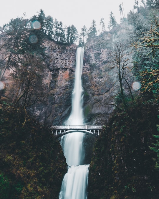
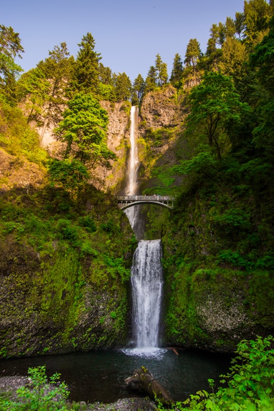
- https://instagram.com/simonshim_ ...click to read more
- Experienced by @Simon Shim | ©Unsplash
Plan your trip in Multnomah Falls with AI 🤖 🗺
Roadtrips.ai is a AI powered trip planner that you can use to generate a customized trip itinerary for any destination in United States in just one clickJust write your activities preferences, budget and number of days travelling and our artificial intelligence will do the rest for you
👉 Use the AI Trip Planner
Book your Travel Experience at Multnomah Falls
Discover the best tours and activities around Multnomah Falls, United States and book your travel experience today with our booking partners
Map of Multnomah Falls
View Multnomah Falls on a map with the the closest popular places nearby
More Travel spots to explore around Multnomah Falls
Click on the pictures to learn more about the places and to get directions
Discover more travel spots to explore around Multnomah Falls
🏞️ Waterfall spots 🌲 Forest spots 🗼 Landmark spotsLearn More about Multnomah Falls
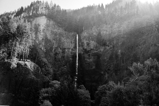
Multnomah Falls is a waterfall in the Columbia River Gorge in Multnomah County, Oregon, USA. At a spectacular 186 metres high, Multnomah Falls is the highest of the many waterfalls.
Multnomah Falls is close to Portland and just off Interstate 84, making it one of Oregon's most visited and photographed natural sites, attracting more than two million tourists a year.
It's not uncommon to find pictures of this place on social networks! which makes the place more and more known !
According to Native American tradition, Multnomah Falls was created to win the heart of a young princess who wanted a hidden place to bathe. Although you can see the upper part of the falls from the highway, to see both levels you must walk to the viewing area located in an opening cut into the rock face.
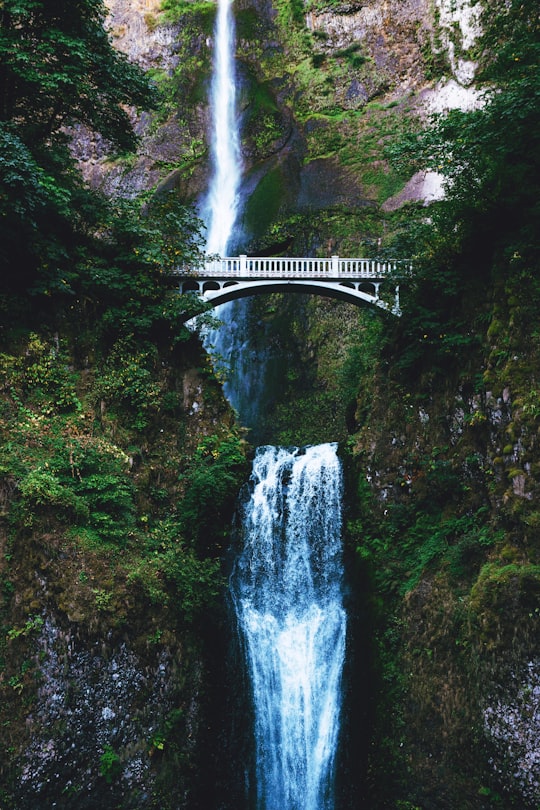
For an even closer view, walk a few hundred metres along the paved path to reach the Benson Bridge, which spans the falls at the misty base of the first tier.
Frequently Asked Questions by Travelers planning a trip to Multnomah Falls
You can go to Multnomah Falls by car, by dedicated bus shuttles, you can also take advantage of the guided tours available. There is a road to go there !
Where to Stay near Multnomah Falls
Discover the best hotels around Multnomah Falls, United States and book your stay today with our booking partner booking.com
Popular destinations near Multnomah Falls
Disover the best Instagram Spots around Multnomah Falls here
