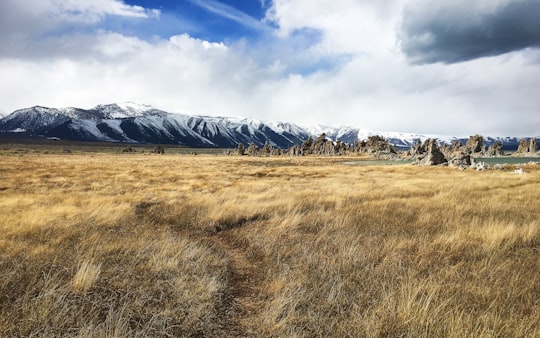
Travel Guide of Lee Vining in United States by Influencers and Travelers
Lee Vining is a census-designated place in Mono County, California, United States. It is located 21 miles south-southeast of Bridgeport, at an elevation of 6781 feet. Lee Vining is located on the southwest shore of Mono Lake.
The Best Things to Do and Visit in Lee Vining
TRAVELERS TOP 10 :
- Mono Lake Tufa State Natural Reserve
- Mono Lake
- Mono County
- Tioga Pass
- Inyo National Forest
- June Lake
- Dog Lake
- Tuolumne Meadows
- Sierra Nevada
- Bodie
1 - Mono Lake Tufa State Natural Reserve
Mono Lake Tufa State Natural Reserve is located near Yosemite National Park within Mono County, in eastern California. It was established in 1981 by the California State Legislature to preserve the natural limestone "tufa tower" formations at Mono Lake.
Learn more Book this experience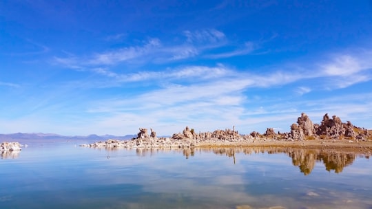
2 - Mono Lake
7 km away
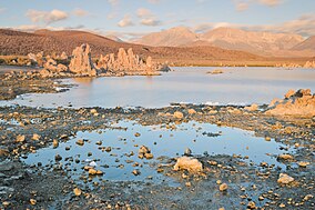
Mono Lake is a saline soda lake in Mono County, California, formed at least 760,000 years ago as a terminal lake in an endorheic basin. The lack of an outlet causes high levels of salts to accumulate in the lake which make its water alkaline.
Learn more Book this experience
3 - Mono County
7 km away
Hot Creek, starting as Mammoth Creek, is a stream in Mono County of eastern California, in the Western United States. It is within the Inyo National Forest.
Learn more Book this experience
4 - Tioga Pass
13 km away
Tioga Pass is a mountain pass in the Sierra Nevada mountain range of California. State Route 120 runs through it, and serves as the eastern entry point for Yosemite National Park, at the Tioga Pass Entrance Station.
View on Google Maps Book this experience
5 - Inyo National Forest
18 km away
Inyo National Forest is a United States National Forest covering parts of the eastern Sierra Nevada of California and the White Mountains of California and Nevada.
Learn more Book this experience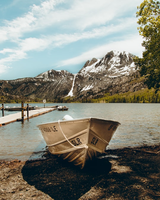

6 - June Lake
18 km away
June Lake is a census-designated place in Mono County, California. It is located against the southern rim of the Mono Basin, 12.5 miles south of Lee Vining, at an elevation of 7654 feet.
Learn more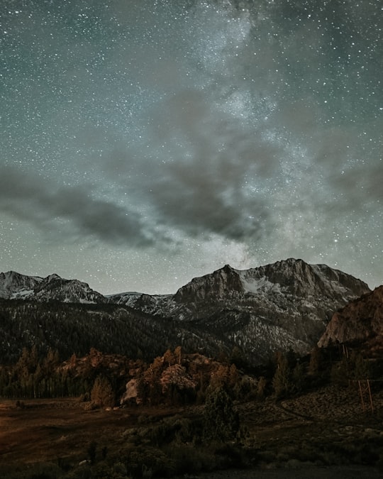

7 - Dog Lake
20 km away
Dog Lake is a lake in Yosemite National Park. It is a shallow but very cold lake, which is good for water sports. It is near to Dog Dome, is north, of Lembert Dome, and south, of Ragged Peak.
Learn more Book this experience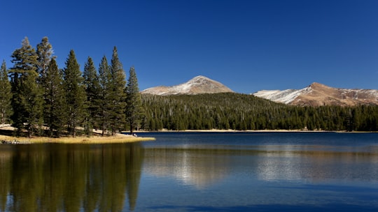

8 - Tuolumne Meadows
22 km away
Tuolumne Meadows is a gentle, dome-studded, sub-alpine meadow area along the Tuolumne River in the eastern section of Yosemite National Park in the United States. Its approximate location is 37°52.5′N 119°21′W. Its approximate elevation is 8,619 feet.
View on Google Maps Book this experience
9 - Sierra Nevada
25 km away
The Sierra Nevada is a mountain range in the Western United States, between the Central Valley of California and the Great Basin. The vast majority of the range lies in the state of California, although the Carson Range spur lies primarily in Nevada.
Learn more Book this experience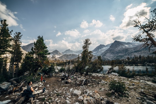
10 - Bodie
30 km away
Bodie is a ghost town in the Bodie Hills east of the Sierra Nevada mountain range in Mono County, California, United States. It is about 75 miles southeast of Lake Tahoe, and 12 mi east-southeast of Bridgeport, at an elevation of 8,379 feet.
View on Google Maps Book this experience
11 - Mammoth Lakes
33 km away
Mammoth Lakes is a town in Mono County, California, and is the county's only incorporated community. It is located immediately to the east of Mammoth Mountain, at an elevation of 7,880 feet.
Learn more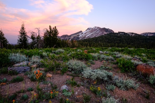

12 - Hoover Wilderness
34 km away
Death Valley National Park is an American national park that straddles the California–Nevada border, east of the Sierra Nevada.
Learn more Book this experience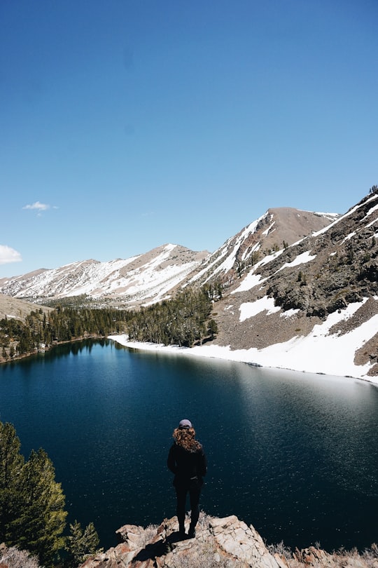
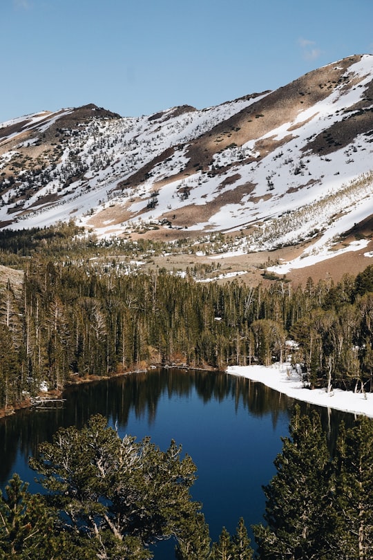
13 - Mammoth Mountain
35 km away
Mammoth Mountain is a lava dome complex partially located within the town of Mammoth Lakes, California, in the Inyo National Forest of Madera and Mono Counties. It is home to a large ski area primarily on the Mono County side. Mammoth Mountain was formed in a series of eruptions that ended 57,000 years ago.
Learn more Book this experience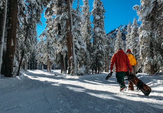
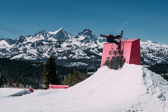
Disover the best Instagram Spots around Lee Vining here
Book Tours and Activities in Lee Vining
Discover the best tours and activities around Lee Vining, United States and book your travel experience today with our booking partners
Pictures and Stories of Lee Vining from Influencers
Picture from Sam Sabri who have traveled to Lee Vining
Plan your trip in Lee Vining with AI 🤖 🗺
Roadtrips.ai is a AI powered trip planner that you can use to generate a customized trip itinerary for any destination in United States in just one clickJust write your activities preferences, budget and number of days travelling and our artificial intelligence will do the rest for you
👉 Use the AI Trip Planner
Why should you visit Lee Vining ?
Travel to Lee Vining if you like:
🌲 EcoregionWhere to Stay in Lee Vining
Discover the best hotels around Lee Vining, United States and book your stay today with our booking partner booking.com
More Travel spots to explore around Lee Vining
Click on the pictures to learn more about the places and to get directions
Discover more travel spots to explore around Lee Vining
🌲 Ecoregion spotsTravel map of Lee Vining
Explore popular touristic places around Lee Vining
