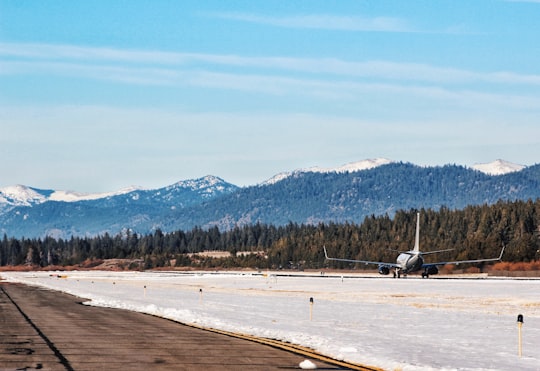
Travel Guide of Lake Tahoe Airport in United States by Influencers and Travelers
Lake Tahoe Airport is a public airport three miles southwest of South Lake Tahoe, in El Dorado County, California. It covers 348 acres and has one runway; it is sometimes called Tahoe Valley Airport.
Pictures and Stories of Lake Tahoe Airport from Influencers
Picture from Chris Leipelt who have traveled to Lake Tahoe Airport
Plan your trip in Lake Tahoe Airport with AI 🤖 🗺
Roadtrips.ai is a AI powered trip planner that you can use to generate a customized trip itinerary for any destination in United States in just one clickJust write your activities preferences, budget and number of days travelling and our artificial intelligence will do the rest for you
👉 Use the AI Trip Planner
The Best Things to Do and Visit around Lake Tahoe Airport
Disover the best Instagram Spots around Lake Tahoe Airport here
1 - Fallen Leaf Lake
6 km away
Fallen Leaf Lake is a mountain lake located in El Dorado County, California, near the California–Nevada state border, about one mile south west of the much larger Lake Tahoe.
Learn more Book this experience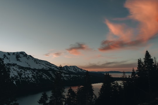

2 - South Lake Tahoe
6 km away
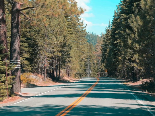
South Lake Tahoe is the most populous city in El Dorado County, California, United States, in the Sierra Nevada. As its name suggests, the city is located on the southern shore of Lake Tahoe.
Learn more
3 - Heavenly Mountain Resort
7 km away
Heavenly Mountain Resort is a ski resort located on the California–Nevada border in South Lake Tahoe in the Sierra Nevada Mountain Range.
Learn more Book this experience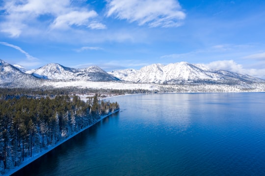

4 - Lakeside Beach
9 km away
Lakeside Green was a census-designated place in Palm Beach County, Florida, United States. The population was 3,311 at the 2000 census.
Learn more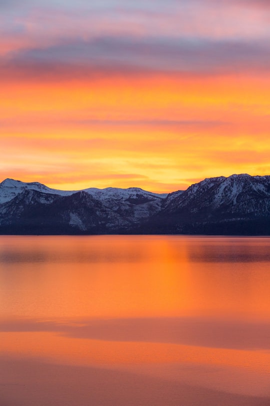
5 - Emerald Bay State Park
11 km away
Emerald Bay State Park is a state park of California in the United States, centered on Lake Tahoe's Emerald Bay, a National Natural Landmark.
Learn more Book this experience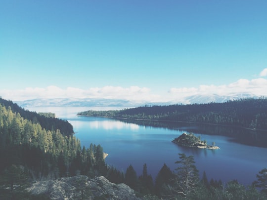
6 - Fannette Island
11 km away
Fannette Island is the only island in Lake Tahoe, California/Nevada, United States. It lies within Emerald Bay, on the California side of the lake.
View on Google Maps Book this experience
7 - Lake Tahoe
12 km away
Lake Tahoe is a large freshwater lake in the Sierra Nevada of the United States. Lying at 6,225 ft, it straddles the state line between California and Nevada, west of Carson City.
Learn more Book this experience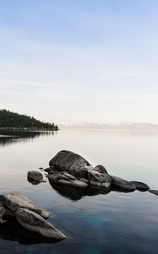

8 - Vikingsholm
12 km away
Vikingsholm is a 38-room mansion on the shore of Emerald Bay at Lake Tahoe, in El Dorado County, California, U.S., and on the National Register of Historic Places.
View on Google Maps Book this experience
9 - Eagle Falls
12 km away
Eagle Falls is located in Cumberland Falls State Resort Park in McCreary County, Kentucky, United States. Water from Eagle Creek descends 44 feet before landing on the rocks below on the Cumberland River shoreline.
Learn more Book this experience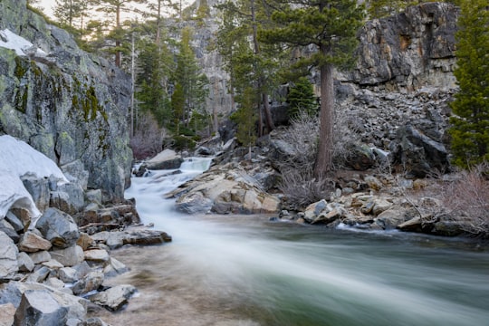
10 - Horsetail Falls
13 km away
Horsetail Falls is a waterfall in the Sierra Nevada mountain range, to the west of Lake Tahoe in the Desolation Wilderness of El Dorado County, California, United States. It falls in stages for nearly 500ft. It can be reached by hiking north out of the Twin Bridges trailhead on U.S. Route 50. There is a forest service parking area designated to the area. It is located at 38°49′40.28″N 120°7′23.87″W.
Learn more Book this experience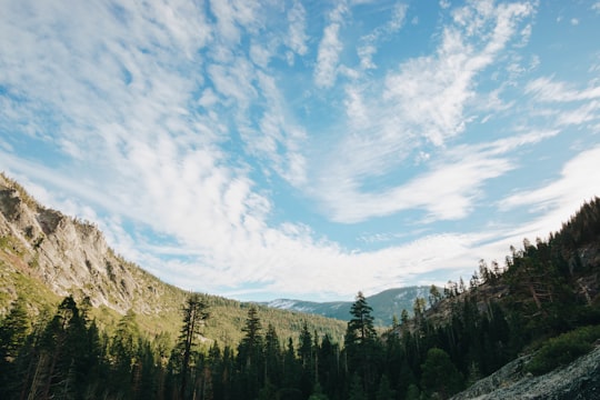

11 - Zephyr Cove
13 km away
Zephyr Cove is a community and census-designated place in Douglas County, Nevada, United States. The population was 565 at the 2010 census. Prior to 2010 it was part of the Zephyr Cove–Round Hill Village CDP.
Learn more
12 - Hope Valley
16 km away
Hope Valley is a village and census-designated place in the town of Hopkinton in Washington County, Rhode Island, United States. The population of the CDP was 1,612 at the 2010 census. Hope Valley is the largest village in Hopkinton and the town's principal commercial center. While the village of Hope Valley is located in Hopkinton, its zip code, 02832, extends into the neighboring town of Richmond.
Learn more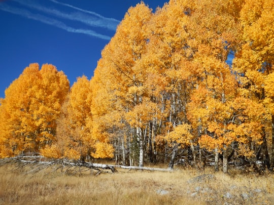
13 - Kyburz
29 km away
Kyburz is a small unincorporated community in El Dorado County, California. It is located along the South Fork of the American River and U.S. Route 50, and is surrounded by the Eldorado National Forest. Its elevation is 4058 feet above sea level.
Learn more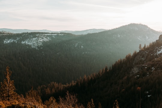
Book Tours and Activities in Lake Tahoe Airport
Discover the best tours and activities around Lake Tahoe Airport, United States and book your travel experience today with our booking partners
Where to Stay near Lake Tahoe Airport
Discover the best hotels around Lake Tahoe Airport, United States and book your stay today with our booking partner booking.com
More Travel spots to explore around Lake Tahoe Airport
Click on the pictures to learn more about the places and to get directions
Discover more travel spots to explore around Lake Tahoe Airport
⛰️ Mountain range spotsTravel map of Lake Tahoe Airport
Explore popular touristic places around Lake Tahoe Airport
