Travel Guide of Hart's Location in United States by Influencers and Travelers
Hart's Location is a town in Carroll County, New Hampshire, United States. Since 1948, the town has been one of the first places to declare its results for the New Hampshire presidential primary and U.S. presidential elections.
The Best Things to Do and Visit in Hart's Location
TRAVELERS TOP 10 :
- White Mountain National Forest
- Mount Carrigain
- Crawford Notch State Park
- Mount Willard
- Mount Field
- Crawford Notch
- Mt Washington Auto Road
- Hiking
- White Mountains
- Mount Washington
1 - White Mountain National Forest
The White Mountain National Forest is a federally managed forest contained within the White Mountains in the northeastern United States.
Learn more Book this experience

2 - Mount Carrigain
8 km away
Mount Carrigain is a mountain located in Grafton County, New Hampshire. The mountain is named after Phillip Carrigain, NH Secretary of State, and is on the south side of the Pemigewasset Wilderness, the source of the East Branch of the Pemigewasset River in the heart of the White Mountains, between Franconia Notch and Crawford Notch.
View on Google Maps Book this experience
3 - Crawford Notch State Park
11 km away
Crawford Notch State Park is located on U.S. Highway 302, in northern New Hampshire, between Bretton Woods and Bartlett. The 5,775-acre park occupies the center of Crawford Notch, a major pass through the White Mountains.
Learn more Book this experience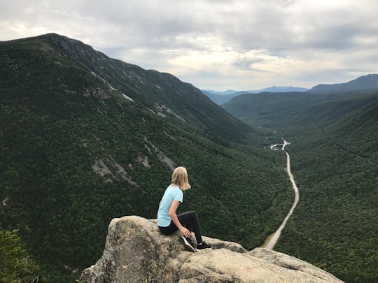

4 - Mount Willard
14 km away
Mount Willard, elevation 2,865 feet, is a mountain located in Carroll County, New Hampshire, United States, in the center of Crawford Notch. Its summit provides excellent views, and it is accessible by the Mount Willard Trail. The Mount Willard Trail is 3.1 miles long out and back with an elevation gain of 908 feet. Dogs are able to use this trail, and it has been rated as child friendly.
Learn more Book this experience

5 - Mount Field
14 km away
Mount Field is a mountain located in Grafton County, New Hampshire. The mountain is named after Darby Field, who in 1642 made the first known ascent of Mount Washington. Mount Field is the highest peak of the Willey Range of the White Mountains. Mt. Field is flanked to the northwest by Mount Tom, and to the southwest by Mount Willey. Mt. Field stands on the borders of three watersheds.
View on Google Maps Book this experience
6 - Crawford Notch
16 km away
Crawford Notch is a major pass through the White Mountains of New Hampshire, located in Hart's Location. Roughly half of that town is contained in Crawford Notch State Park.
Learn more Book this experience

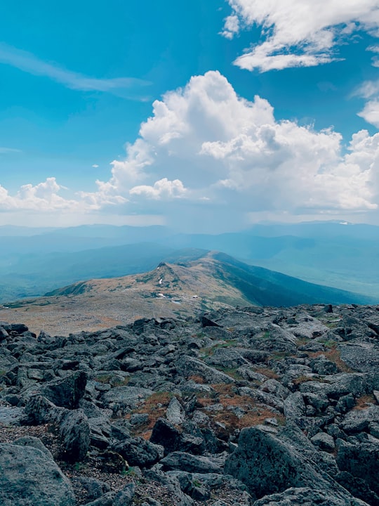
7 - Mt Washington Auto Road
17 km away
Learn more
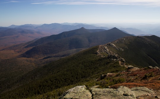
8 - Hiking
20 km away
Learn more
9 - White Mountains
21 km away
The White Mountains are a mountain range covering about a quarter of the state of New Hampshire and a small portion of western Maine in the United States. They are part of the northern Appalachian Mountains and the most rugged mountains in New England. The range is heavily visited due to its proximity to Boston, New York City, and Montreal.
Learn more Book this experience
10 - Mount Washington
21 km away
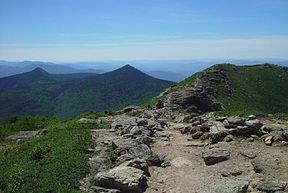
Mount Washington is the highest peak in the Northeastern United States at 6,288.2 ft and the most topographically prominent mountain east of the Mississippi River. The mountain is notorious for its erratic weather.
Learn more Book this experience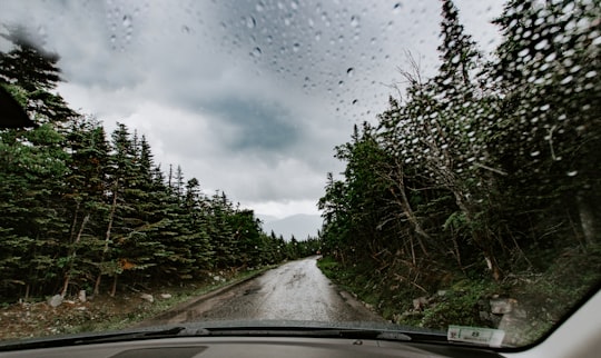

11 - Kancamagus Pass
22 km away
The Swift River is a 25.6 miles river in the White Mountains of New Hampshire in the United States. It is a tributary of the Saco River, which flows to the Atlantic Ocean in Maine.
Learn more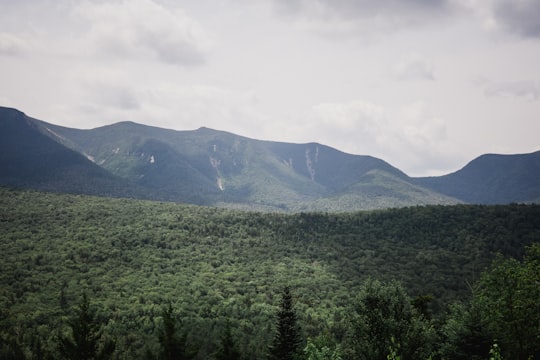
12 - Mount Washington Auto Road
23 km away
The Mount Washington Auto Road—originally the Mount Washington Carriage Road—is a 7.6 mi toll road in southern Coos County, New Hampshire that extends from New Hampshire Route 16 in Green's Grant, just north of Pinkham Notch, westward across Pinkham's Grant and Thompson and Meserve's Purchase to the summit of Mount Washington in the White Mountains of the US state of New Hampshire.
View on Google Maps Book this experience
Disover the best Instagram Spots around Hart's Location here
Book Tours and Activities in Hart's Location
Discover the best tours and activities around Hart's Location, United States and book your travel experience today with our booking partners
Plan your trip in Hart's Location with AI 🤖 🗺
Roadtrips.ai is a AI powered trip planner that you can use to generate a customized trip itinerary for any destination in United States in just one clickJust write your activities preferences, budget and number of days travelling and our artificial intelligence will do the rest for you
👉 Use the AI Trip Planner
Where to Stay in Hart's Location
Discover the best hotels around Hart's Location, United States and book your stay today with our booking partner booking.com
More Travel spots to explore around Hart's Location
Click on the pictures to learn more about the places and to get directions
Discover more travel spots to explore around Hart's Location
🌉 Bridge spots 🌲 Forest spots ⛰️ Hill station spots 🐾 Wildlife spotsTravel map of Hart's Location
Explore popular touristic places around Hart's Location