Travel Guide of Blowing Rock in United States by Influencers and Travelers
Blowing Rock is a town in Watauga and Caldwell counties in the U.S. state of North Carolina. The population was 1,241 at the 2010 census.
The Best Things to Do and Visit in Blowing Rock
TRAVELERS TOP 10 :
- Boone
- New River
- Moses H. Cone Memorial Park
- Linn Cove Viaduct
- Watauga River
- Zionville
- Hawksbill Mountain
- Pisgah National Forest
- Marion
- Roan Mountain
1 - Boone
9 km away
Boone is a town in and the county seat of Watauga County, North Carolina, United States. Located in the Blue Ridge Mountains of western North Carolina, Boone is the home of Appalachian State University. The population was 17,122 at the 2010 census.
Learn more

2 - New River
9 km away
The New River is a river which flows through the U.S. states of North Carolina, Virginia, and West Virginia before joining with the Gauley River to form the Kanawha River at the town of Gauley Bridge, West Virginia.
View on Google Maps Book this experience
3 - Moses H. Cone Memorial Park
The Moses H. Cone Memorial Park is a country estate in honor of Moses H. Cone in Blowing Rock, North Carolina. It is on the Blue Ridge Parkway between mileposts 292 and 295 with access at milepost 294. Most locals call it Cone Park.
View on Google Maps Book this experience
4 - Linn Cove Viaduct
13 km away
The Linn Cove Viaduct is a 1,243 feet long, concrete segmental bridge which snakes around Grandfather Mountain in western North Carolina.
Learn more Book this experience

5 - Watauga River
15 km away
The Watauga River is a large stream of western North Carolina and East Tennessee. It is 78.5 miles long with its headwaters in Linville Gap to the South Fork Holston River at Boone Lake.
View on Google Maps Book this experience
6 - Zionville
23 km away
Zionville in an unincorporated community located in Watauga County, North Carolina, United States. The community lies at the North Carolina/Tennessee state line, between Boone and Mountain City, along Old US Highway 421.
Learn more
7 - Hawksbill Mountain
31 km away
Hawksbill Mountain is a mountain with an elevation of 4,050 feet. Marking the border between Madison County and Page County in Virginia, the summit of Hawksbill Mountain is the highest point in Shenandoah National Park, as well as the highest point in both Madison and Page counties.
Learn more Book this experience
8 - Pisgah National Forest
31 km away
Pisgah National Forest is a National Forest in the Appalachian Mountains of western North Carolina. It is administered by the United States Forest Service, part of the United States Department of Agriculture.
Learn more Book this experience
9 - Marion
33 km away
Marion is a city in Linn County, Iowa, United States. The population was 26,294 at the 2000 census and was 34,768 in 2010, an increase of 32.2%. The city is located next to Cedar Rapids and part of the Cedar Rapids Metropolitan Statistical Area.
Learn more
10 - Roan Mountain
36 km away
Roan Mountain is a census-designated place in Carter County, Tennessee, United States. The population was 1,360 at the 2010 census.
Learn more

11 - Wilbur Dam
46 km away
Wilbur D. Mills Dam is a steel dam and generating facility located on the Arkansas River in Arkansas County and Desha County, Arkansas, United States. The dam is part of the McClellan–Kerr Arkansas River Navigation System, and is named for Wilbur D. Mills, a member of United States House of Representatives from Arkansas.
Learn more Book this experience
Disover the best Instagram Spots around Blowing Rock here
Book Tours and Activities in Blowing Rock
Discover the best tours and activities around Blowing Rock, United States and book your travel experience today with our booking partners
Pictures and Stories of Blowing Rock from Influencers
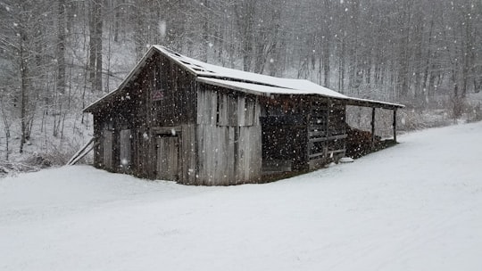
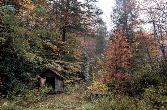
2 pictures of Blowing Rock from Justin Luebke, , and other travelers

- Colorful wooded hills in fog ...click to read more
- Experienced by @Justin Luebke | ©Unsplash
Plan your trip in Blowing Rock with AI 🤖 🗺
Roadtrips.ai is a AI powered trip planner that you can use to generate a customized trip itinerary for any destination in United States in just one clickJust write your activities preferences, budget and number of days travelling and our artificial intelligence will do the rest for you
👉 Use the AI Trip Planner
Why should you visit Blowing Rock ?
Travel to Blowing Rock if you like:
⛰️ Hill stationWhere to Stay in Blowing Rock
Discover the best hotels around Blowing Rock, United States and book your stay today with our booking partner booking.com
More Travel spots to explore around Blowing Rock
Click on the pictures to learn more about the places and to get directions
Discover more travel spots to explore around Blowing Rock
🌲 Forest spots ⛰️ Hill station spotsTravel map of Blowing Rock
Explore popular touristic places around Blowing Rock
