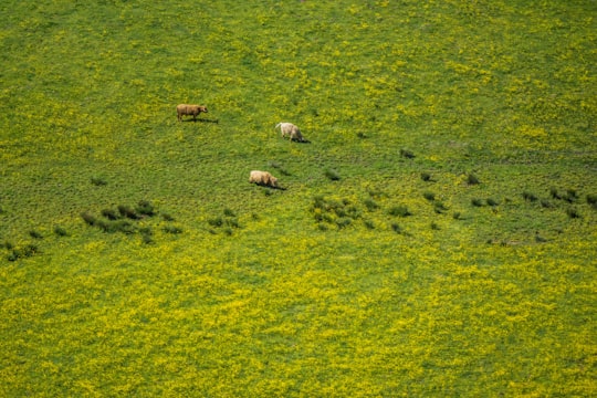
Travel Guide of Stirling in United Kingdom by Influencers and Travelers
The Stirling council area is one of the 32 council areas of Scotland, and has a population of about 94,330. It was created under the Local Government etc Act 1994 with the boundaries of the Stirling district of the former Central local government region, and it covers most of Stirlingshire and the south-western portion of Perthshire.
Pictures and Stories of Stirling from Influencers
Picture from Ivan Dimitroff who have traveled to Stirling
Plan your trip in Stirling with AI 🤖 🗺
Roadtrips.ai is a AI powered trip planner that you can use to generate a customized trip itinerary for any destination in United Kingdom in just one clickJust write your activities preferences, budget and number of days travelling and our artificial intelligence will do the rest for you
👉 Use the AI Trip Planner
The Best Things to Do and Visit around Stirling
Disover the best Instagram Spots around Stirling here
1 - Loch Venachar
25 km away
Loch Venachar is a freshwater loch in Stirling district, Scotland.
Learn more Book this experience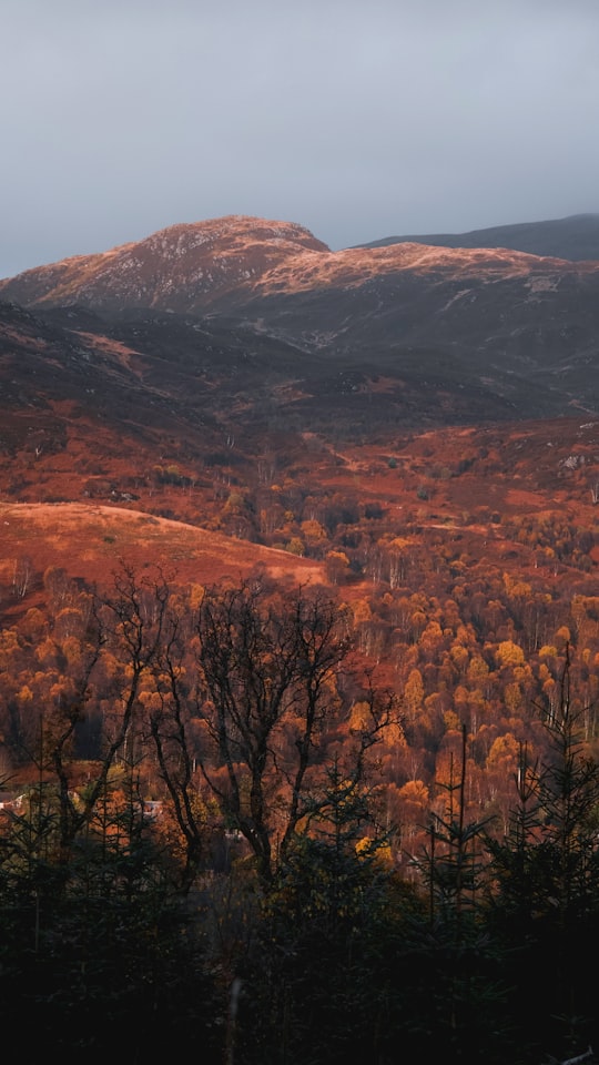
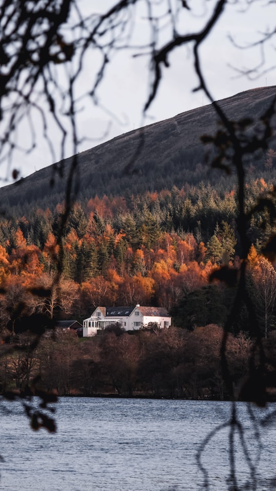
2 - Campsie Fells
25 km away
The Campsie Fells are a range of hills in central Scotland, stretching east to west from Denny Muir to Dumgoyne in Stirlingshire and overlooking Strathkelvin to the south. The southern extent of the range falls within East Dunbartonshire.
Learn more Book this experience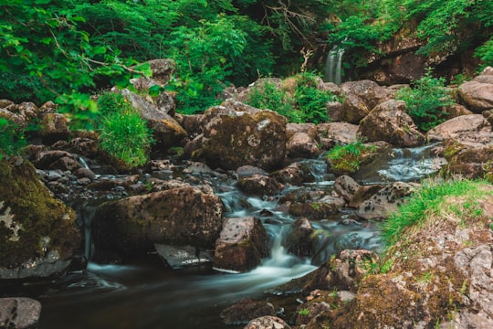
3 - Sightseeing | Stirling
Explore the rugged Scottish Highlands with a local tour guide on a 3-day tour from Edinburgh.
Learn more
4 - Dunkeld Cathedral
26 km away
Dunkeld Cathedral is a Church of Scotland place of worship which stands on the north bank of the River Tay in Dunkeld, Perth and Kinross, Scotland.
View on Google Maps Book this experience
5 - West Highland Way
30 km away
The West Highland Way is a linear long-distance route in Scotland. It is 154 km long, running from Milngavie north of Glasgow to Fort William in the Scottish Highlands, with an element of hill walking in the route.
Learn more Book this experience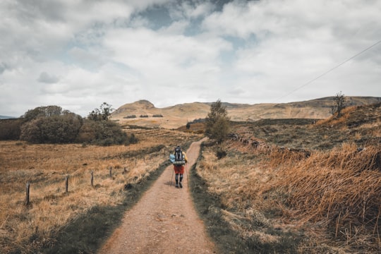
6 - Canyoning in Edinburgh
10 km away
Experience the thrill of a lifetime with exhilarating and challenging waterfall abseils! This tour takes you deep into the heart of a wild and inaccessible chasm of ancient volcanic rock, where you'll face a challenging descent of a committing canyon...
Learn more
7 - Loch Ard
33 km away
Loch Ard is a loch, located in Loch Lomond and the Trossachs National Park, Stirling council area, Scotland.
Learn more Book this experience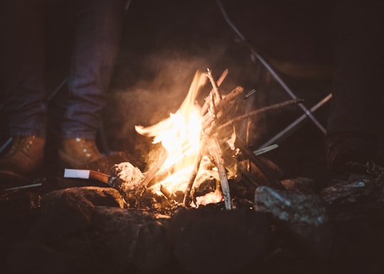

8 - Glasgow
34 km away
Glasgow is the most populous city in Scotland, and the third most populous city in the United Kingdom, as of the 2019 estimated city population of 611,748.
Learn more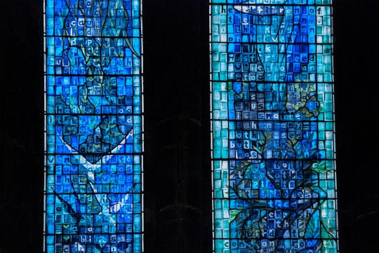
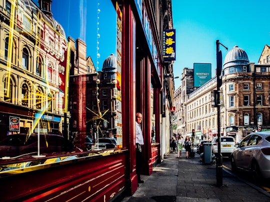
9 - George Square
34 km away
George Square is the principal civic square in the city of Glasgow, Scotland. It is one of six squares in the city centre, the others being Cathedral Square, St Andrew's Square, St Enoch Square, Royal Exchange Square, and Blythswood Square on Blythswood Hill.
Learn more Book this experience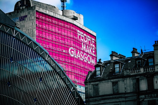
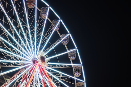
10 - Pollok Country Park
40 km away
Pollok Country Park is a 146-hectare country park located between Shawlands, Crossmyloof, and Pollok in Glasgow, Scotland. In 2007, Pollok Country Park was named Britain's Best Park, and in 2008 it was named the Best Park in Europe, beating competition from parks in Italy, France, Germany, Poland and Sweden.
Learn more Book this experience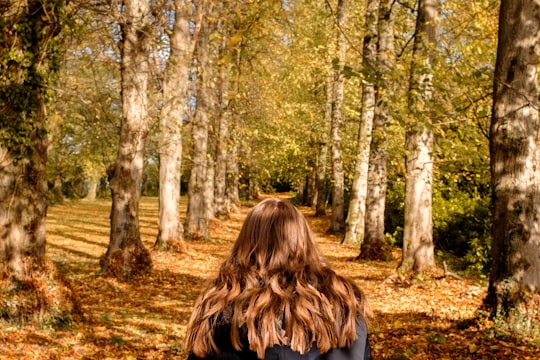
11 - Neilston
48 km away
Neilston is a village and parish in East Renfrewshire in the west central Lowlands of Scotland. It is in the Levern Valley, two miles southwest of Barrhead, 3+3⁄4 miles south of Paisley, and 5+3⁄4 miles south-southwest of Renfrew, at the southwestern fringe of the Greater Glasgow conurbation.
Learn more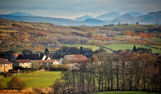
12 - Loch Tay
50 km away
Loch Tay is a freshwater loch in the central highlands of Scotland, in the Perth and Kinross and Stirling council areas. It is the largest body of fresh water in Perth and Kinross, and the sixth largest loch in Scotland.
Learn more Book this experience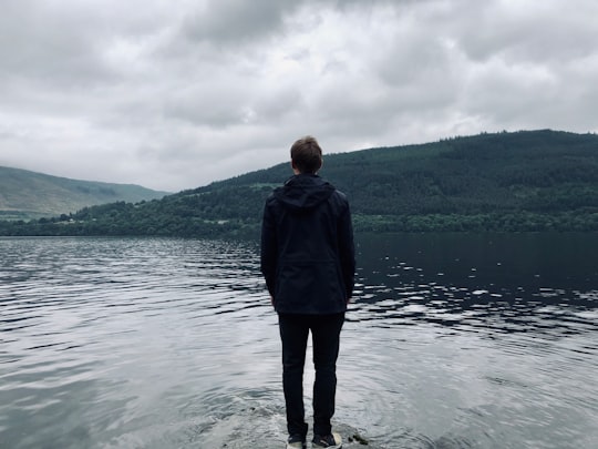
Book Tours and Activities in Stirling
Discover the best tours and activities around Stirling, United Kingdom and book your travel experience today with our booking partners
Where to Stay near Stirling
Discover the best hotels around Stirling, United Kingdom and book your stay today with our booking partner booking.com
More Travel spots to explore around Stirling
Click on the pictures to learn more about the places and to get directions
Discover more travel spots to explore around Stirling
🏕️ Camping spots 🏞️ Loch spots 🌲 Plain spotsTravel map of Stirling
Explore popular touristic places around Stirling
