Travel Guide of River Dove in United Kingdom by Influencers and Travelers
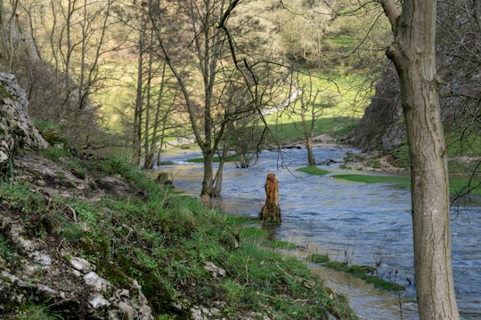
The River Dove is the principal river of the southwestern Peak District, in the Midlands of England and is around 45 miles in length. It rises on Axe Edge Moor near Buxton and flows generally south to its confluence with the River Trent at Newton Solney. From there, its waters reach the North Sea via the Humber Estuary. For almost its entire course it forms the boundary between the counties of Staffordshire and Derbyshire.
Pictures and Stories of River Dove from Influencers
2 pictures of River Dove from Chay Kelly, Kathirvel Balakrishnan, and other travelers
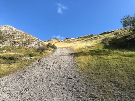
- Hills, Green, Nature Walk, Scenery ...click to read more
- Experienced by @Kathirvel Balakrishnan | ©Unsplash
Plan your trip in River Dove with AI 🤖 🗺
Roadtrips.ai is a AI powered trip planner that you can use to generate a customized trip itinerary for any destination in United Kingdom in just one clickJust write your activities preferences, budget and number of days travelling and our artificial intelligence will do the rest for you
👉 Use the AI Trip Planner
The Best Things to Do and Visit around River Dove
Disover the best Instagram Spots around River Dove here
1 - Cat and Fiddle Road
The Cat and Fiddle is a road in England between Buxton, Derbyshire, and Macclesfield, Cheshire, named after the Cat and Fiddle Inn public house at its summit.
View on Google Maps Book this experience
2 - Parkhouse Hill
Parkhouse Hill is a small but distinctive hill in the Peak District National Park in the English county of Derbyshire. It lies on the north side of the River Dove, close to the border with Staffordshire.
Learn more Book this experience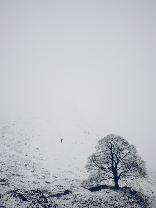

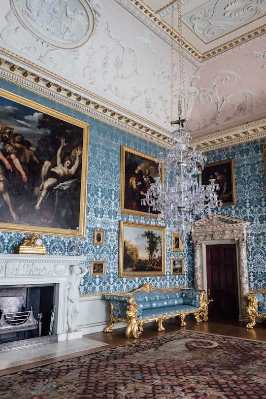
3 - Kedleston Park
16 km away
Learn more
4 - Cave Dale
18 km away
Cave Dale is a dry limestone valley in the Derbyshire Peak District, England. It is located at grid reference SK149824. The northern end of the dale starts at the village of Castleton where the valley sides are almost perpendicular and over 50 metres in height.
Learn more Book this experience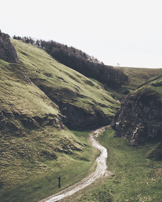

5 - Kinder Scout
19 km away
Kinder Scout is a moorland plateau and national nature reserve in the Dark Peak of the Derbyshire Peak District in England. Part of the moor, at 636 metres above sea level, is the highest point in the Peak District, the highest point in Derbyshire, and the highest point in the East Midlands.
Learn more Book this experience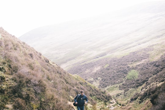
6 - Ilam Park
20 km away
Ilam Park is a 158-acre country park situated in Ilam, on both banks of the River Manifold five miles north west of Ashbourne, England, and in the ownership of the National Trust. The property is managed as part of the Trust's White Peak Estate. .
Learn more Book this experience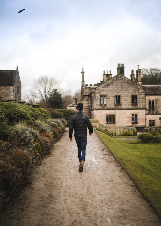

7 - Dovedale
21 km away
Dovedale is a valley in the Peak District of England. The land is owned by the National Trust and attracts a million visitors annually.
Learn more Book this experience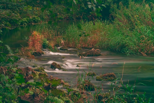
8 - Chatsworth House
25 km away
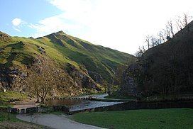
Chatsworth House is a stately home in the Derbyshire Dales, 3.5 miles north-east of Bakewell and 9 miles west of Chesterfield, England. The seat of the Duke of Devonshire, it has belonged to the Cavendish family since 1549.
Learn more Book this experience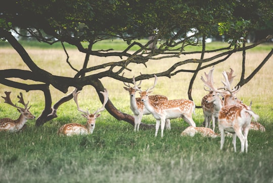
9 - Stanage Edge
26 km away
Stanage Edge, or simply Stanage is a gritstone escarpment in the Peak District, England, famous as a location for climbing. It lies a couple of miles to the north of Hathersage, and the northern part of the edge forms the border between the High Peak of Derbyshire and Sheffield in South Yorkshire.
Learn more Book this experience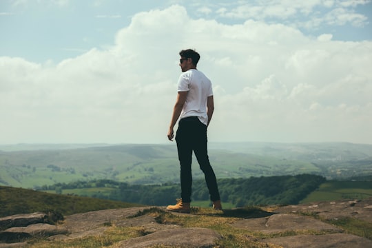

10 - Peak District National Park
26 km away
Learn more
11 - Stoke-on-Trent
28 km away
Stoke-on-Trent is a city and unitary authority area in Staffordshire, England, with an area of 36 square miles. In 2019, the city had an estimated population of 256,375.
Learn more
12 - Shutlingsloe
30 km away
Shutlingsloe is a hill near the village of Wildboarclough, in the east of the county of Cheshire. It stands to the south of Macclesfield Forest, on the edge of the Peak District and within the Peak District National Park.
Learn more Book this experience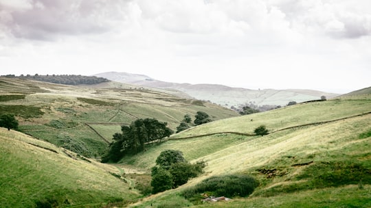
13 - Brocton
34 km away
Learn more
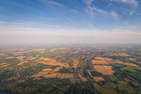
14 - Cannock
35 km away
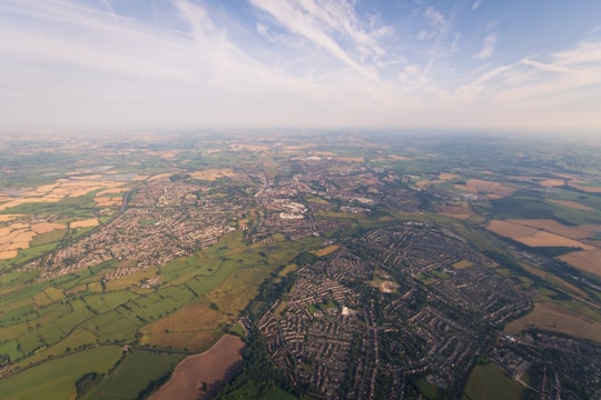
Cannock is a town in the Cannock Chase district in the county of Staffordshire, England. It had a population of 29,018. Cannock is not far from the nearby towns of Walsall, Burntwood, Stafford and Telford.
Learn more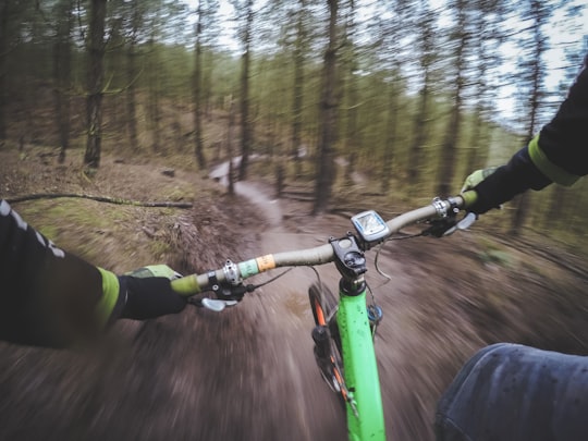
15 - Cannock Chase
35 km away
Cannock Chase, often referred to locally as The Chase, is a mixed area of countryside in the county of Staffordshire, England. The area has been designated as the Cannock Chase Area of Outstanding Natural Beauty and is managed by Forestry England.
Learn more Book this experience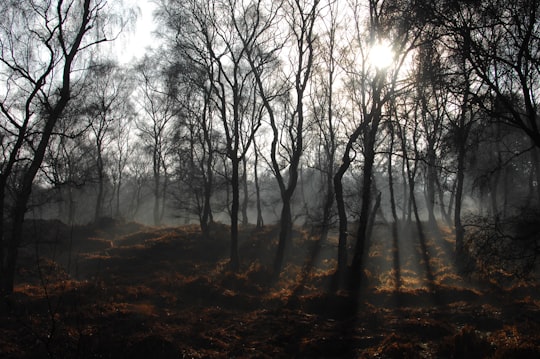
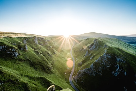
16 - Winnats Pass
36 km away
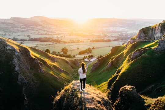
Winnats Pass is a hill pass and limestone gorge in the Peak District of Derbyshire, England. The name is a corruption of 'wind gates' due to the swirling winds through the pass.
Learn more Book this experience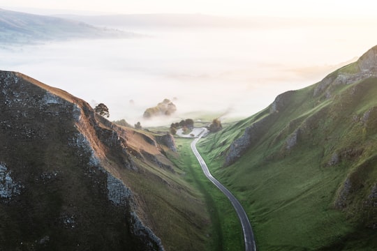
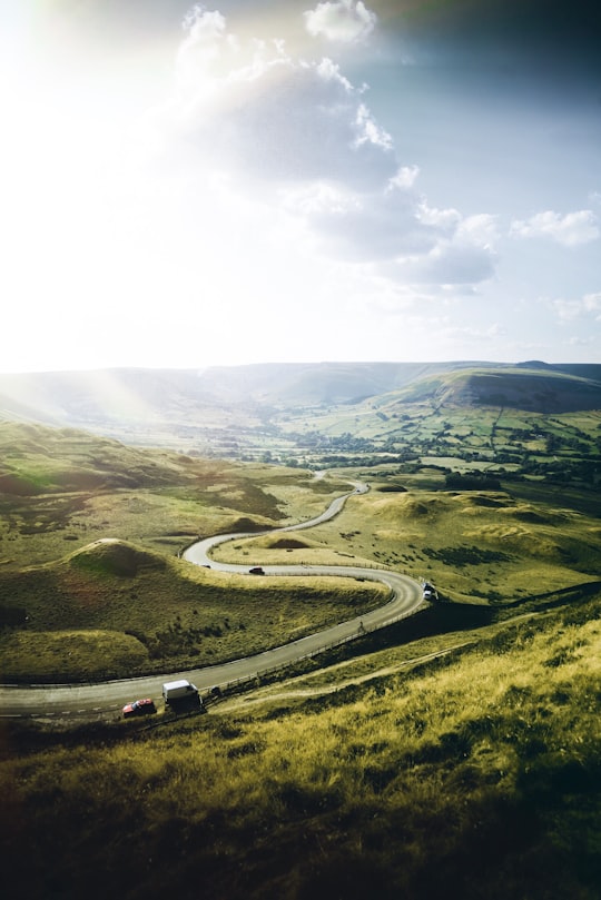
17 - Mam Tor
37 km away
Mam Tor is a 517 m hill near Castleton in the High Peak of Derbyshire, England. Its name means "mother hill", so called because frequent landslips on its eastern face have resulted in a multitude of "mini-hills" beneath it.
Learn more Book this experience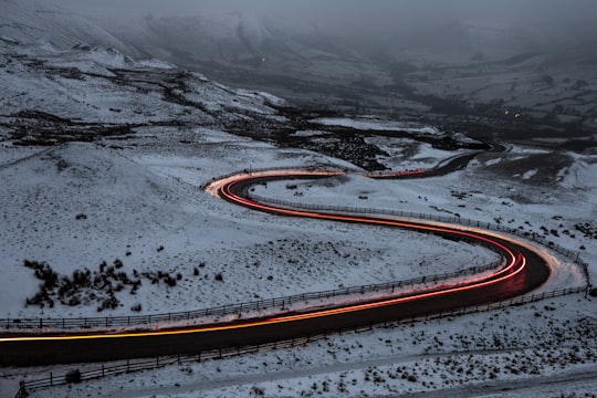

18 - Hathersage
37 km away
Hathersage is a village and civil parish in the Peak District in Derbyshire, England. It lies slightly to the north of the River Derwent, approximately 10 miles south-west of Sheffield.
Learn more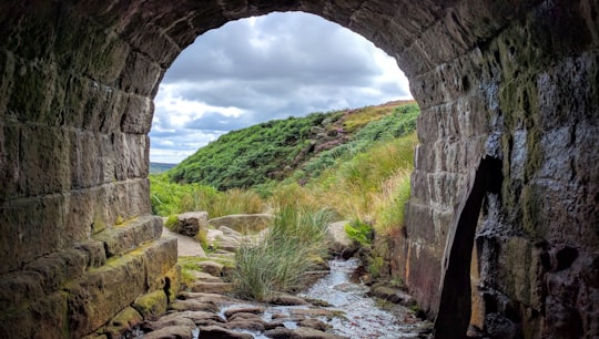
19 - Hope Valley
38 km away
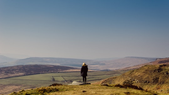
The Hope Valley is a rural area centred on the village of Hope, Derbyshire, in the Peak District in the northern Midlands of England. The name also applies to the post town that includes the surrounding villages.
Learn more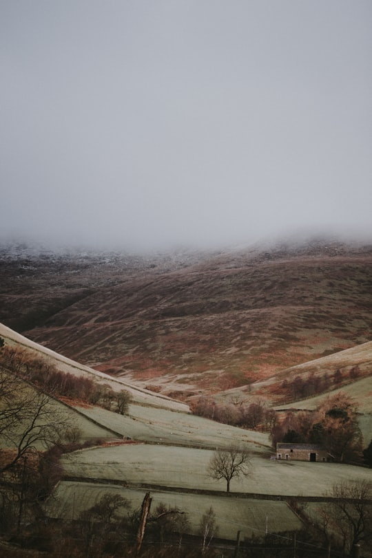
20 - Ladybower Reservoir
39 km away
Ladybower Reservoir is a large Y-shaped, artificial reservoir, the lowest of three in the Upper Derwent Valley in Derbyshire, England.
Learn more Book this experience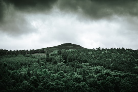
Book Tours and Activities in River Dove
Discover the best tours and activities around River Dove, United Kingdom and book your travel experience today with our booking partners
Where to Stay near River Dove
Discover the best hotels around River Dove, United Kingdom and book your stay today with our booking partner booking.com
More Travel spots to explore around River Dove
Click on the pictures to learn more about the places and to get directions
Discover more travel spots to explore around River Dove
⛰️ Highland spots 🏞️ Watercourse spotsTravel map of River Dove
Explore popular touristic places around River Dove
