Travel Guide of Presteigne in United Kingdom by Influencers and Travelers
Presteigne is a town and community in Radnorshire, Powys, Wales on the south bank of the River Lugg. Formerly the county town of the historic county of Radnorshire, the town has, in common with several other towns close to the Wales-England border, assumed the motto, "Gateway to Wales".
The Best Things to Do and Visit in Presteigne
TRAVELERS TOP 8 :
- Weobley
- Clungunford
- Ludlow
- Cleehill
- Hereford Cathedral
- Brecon
- Monmouthshire and Brecon Canal
- Talybont Reservoir
1 - Weobley
16 km away
Weobley is an ancient settlement and civil parish in Herefordshire, England. Formerly a market town, the market is long defunct and the settlement is today promoted as one of the county's black and white villages owing to its abundance of old timber-framed buildings.
Learn more
2 - Clungunford
17 km away
Clungunford is a village and civil parish in south Shropshire, England, located near the border with Herefordshire.
Learn more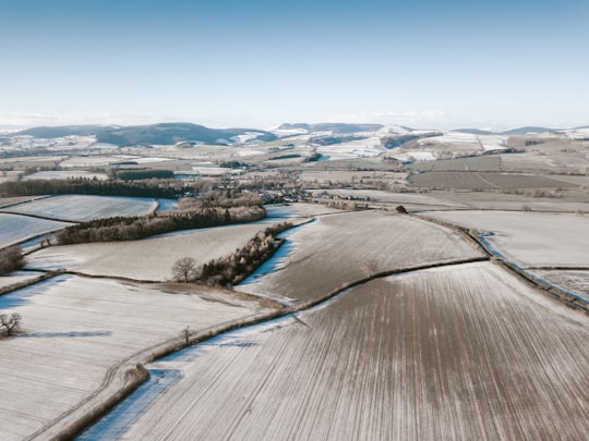
3 - Ludlow
22 km away
Ludlow is a market town in Shropshire, England. The town is significant in the history of the Welsh Marches and in relation to Wales. It is located 28 miles south of Shrewsbury and 23 miles north of Hereford, on the A49 road which bypasses the town. The town is near the confluence of the rivers Corve and Teme. The oldest part is the medieval walled town, founded in the late 11th century after the Norman conquest of England. It is centred on a small hill which lies on the eastern bank of a bend of the River Teme. Situated on this hill are Ludlow Castle and the parish church, St Laurence's, the largest in the county. From there the streets slope downward to the rivers Corve and Teme, to the north and south respectively. The town is in a sheltered spot beneath Mortimer Forest and the Clee Hills, which are clearly visible from the town. Ludlow has nearly 500 listed buildings, including examples of medieval and Tudor-style half-timbered buildings. The town was described by Sir John Betjeman as "probably the loveliest town in England".
Learn more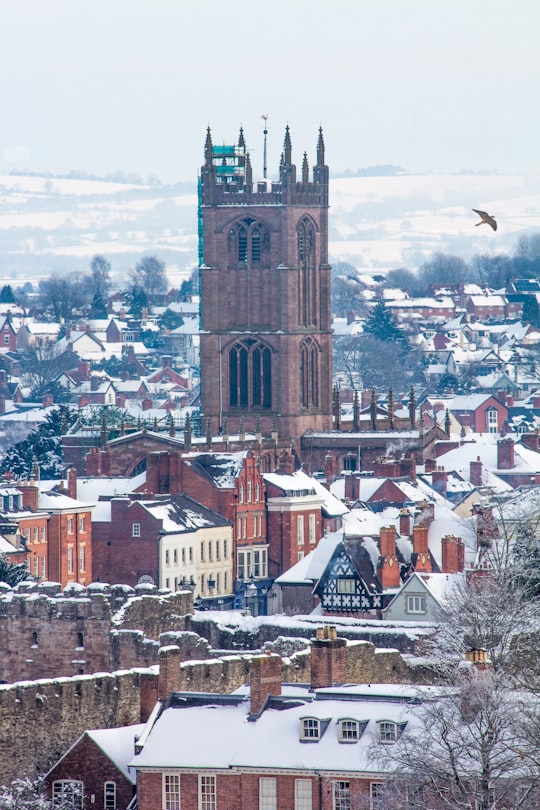
4 - Cleehill
30 km away
Cleehill is a village in south Shropshire, England. It is sometimes written as Clee Hill Village to avoid confusion. It lies in the civil parish of Caynham.
Learn more
5 - Hereford Cathedral
31 km away
Hereford Cathedral is the cathedral church of the Anglican Diocese of Hereford in Hereford, England. A place of worship has existed on the site of the present building since the 8th century or earlier. The present building was begun in 1079.
Learn more Book this experience
6 - Brecon
45 km away
Brecon and Radnorshire is a county constituency of the House of Commons of the Parliament of the United Kingdom. Created in 1918, it elects one Member of Parliament by the first-past-the-post system of election.
Learn more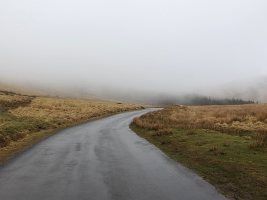
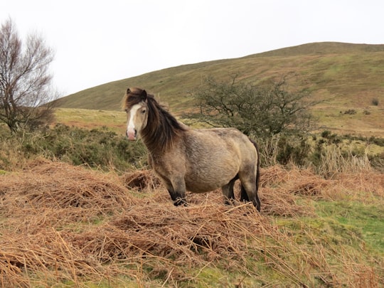
7 - Monmouthshire and Brecon Canal
45 km away
The Monmouthshire and Brecon Canal is a small network of canals in South Wales. For most of its currently navigable 35-mile length it runs through the Brecon Beacons National Park, and its present rural character and tranquillity belies its original purpose as an industrial corridor for coal and iron, which were brought to the canal by a network of tramways and/or railroads, many of which were built and owned by the canal company.
Learn more Book this experience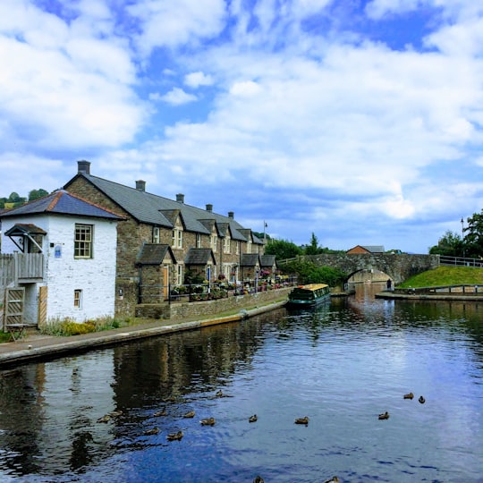
8 - Talybont Reservoir
48 km away
Talybont Reservoir is the largest stillwater reservoir in the central Brecon Beacons at 318 acres. Talybont-on-Usk is 1.5 miles downstream of the dam.
Learn more Book this experience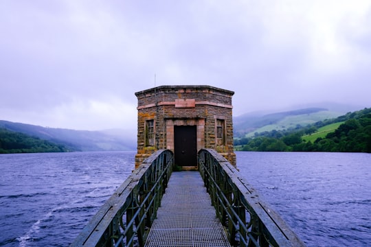
Disover the best Instagram Spots around Presteigne here
Book Tours and Activities in Presteigne
Discover the best tours and activities around Presteigne, United Kingdom and book your travel experience today with our booking partners
Pictures and Stories of Presteigne from Influencers
Picture from Daniel Baird who have traveled to Presteigne

- On the tight winding roads of Shropshire. ...click to read more
- Experienced by @Daniel Baird | ©Unsplash
Plan your trip in Presteigne with AI 🤖 🗺
Roadtrips.ai is a AI powered trip planner that you can use to generate a customized trip itinerary for any destination in United Kingdom in just one clickJust write your activities preferences, budget and number of days travelling and our artificial intelligence will do the rest for you
👉 Use the AI Trip Planner
Why should you visit Presteigne ?
Travel to Presteigne if you like:
Where to Stay in Presteigne
Discover the best hotels around Presteigne, United Kingdom and book your stay today with our booking partner booking.com
More Travel spots to explore around Presteigne
Click on the pictures to learn more about the places and to get directions
Discover more travel spots to explore around Presteigne
Driving spotsTravel map of Presteigne
Explore popular touristic places around Presteigne