Travel Guide of Penzance in United Kingdom by Influencers and Travelers
Penzance is a town, civil parish and port in the Penwith district of Cornwall, United Kingdom. It is the most westerly major town in Cornwall and is about 64 miles west-southwest of Plymouth and 255 miles west-southwest of London.
The Best Things to Do and Visit in Penzance
TRAVELERS TOP 10 :
- Marazion
- Mousehole
- Surfing in Cornwall
- Marazion Beach
- Mount's Bay
- Penwith Heritage Coast
- Cape Cornwall
- Porthcurno Beach
- Land's End
- Godrevy
1 - Marazion
Marazion is a civil parish and town, on the shore of Mount's Bay in Cornwall, UK. It is 2 miles east of Penzance and the tidal island of St Michael's Mount is half-a-mile offshore.
Learn more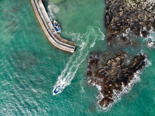
2 - Mousehole
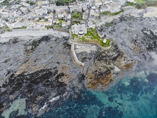
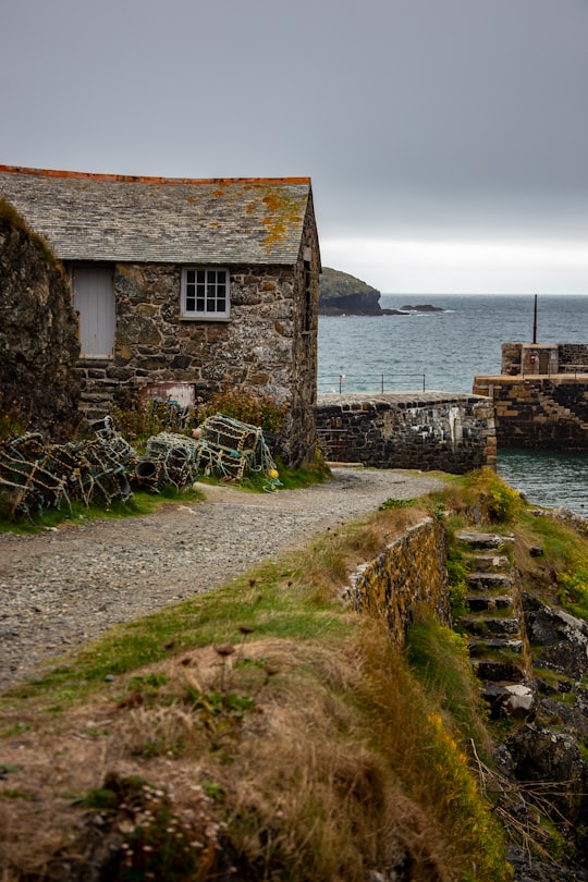
Mousehole is a village and fishing port in Cornwall, England, UK. It is approximately 2.5 miles south of Penzance on the shore of Mount's Bay. The village is in the civil parish of Penzance. An islet called St Clement's Isle lies about 350 metres offshore from the harbour entrance. Mousehole lies within the Cornwall Area of Outstanding Natural Beauty. Almost a third of Cornwall has AONB designation, with the same status and protection as a National Park.
Learn more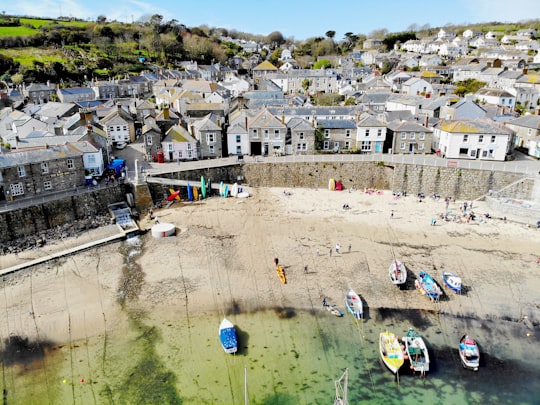
3 - Surfing in Cornwall
Come and try surfing at one of the most picturesque and beautiful beaches the county has to offer, you'll be spoilt for choice as there are over 10 beaches to choose from! Whether you're surfing in the silhouette of St Michael's Mount, ca...
Book this experience
4 - Marazion Beach
Learn more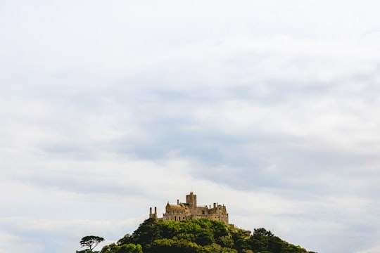
5 - Mount's Bay
11 km away
Mount's Bay is a large, sweeping bay on the English Channel coast of Cornwall, United Kingdom, stretching from the Lizard Point to Gwennap Head. In the north of the bay, near Marazion, is St Michael's Mount; the origin of name of the bay. In summer, it is a large, benign, scenic, natural harbour. However, in winter, onshore gales present maritime risks, particularly for sailing ships. There are more than 150 known wrecks from the nineteenth century in the area.
Learn more Book this experience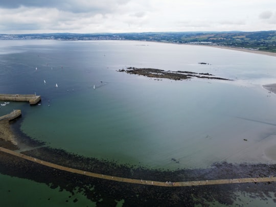

6 - Penwith Heritage Coast
11 km away
Pendeen Lighthouse, also known as Pendeen Watch is an active aid to navigation located 2 kilometres to the north of Pendeen in west Cornwall, England, United Kingdom.
View on Google Maps Book this experience
7 - Cape Cornwall
12 km away
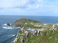
Cape Cornwall is a small headland in West Cornwall, UK. It is four miles north of Land's End near the town of St Just. Until the first Ordnance Survey in the early 19th century, Cape Cornwall was believed to be the most westerly point in Cornwall.
Learn more Book this experience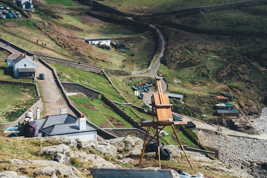
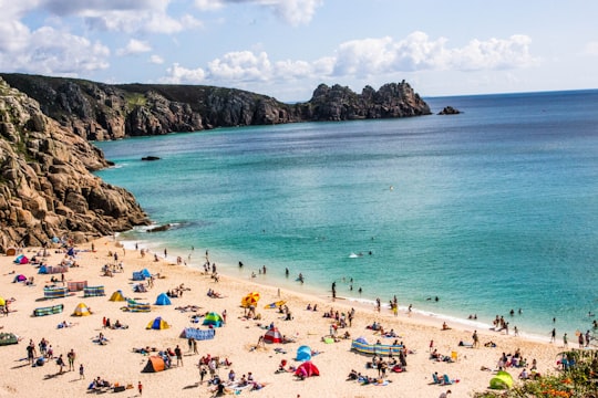
8 - Porthcurno Beach
12 km away
Learn more Book this experience
9 - Land's End
13 km away
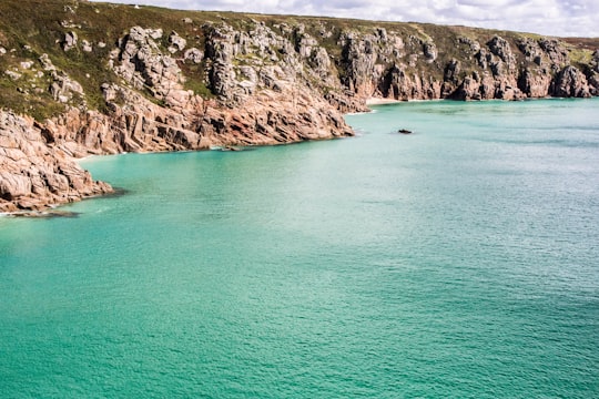
Penwith is an area of Cornwall, England, United Kingdom, located on the peninsula of the same name. It is also the name of a former local government district, whose council was based in Penzance.
Learn more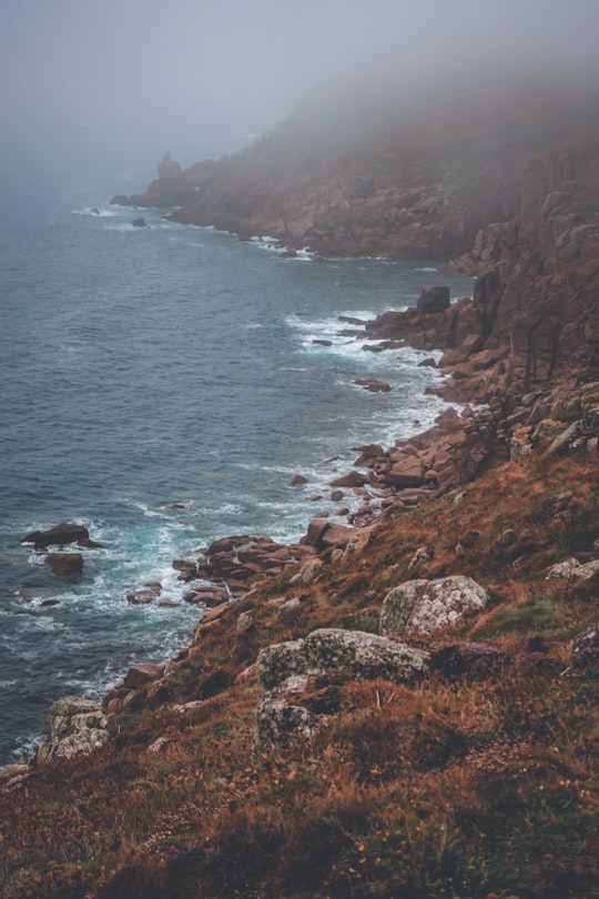
10 - Godrevy
17 km away
Godrevy is an area on the eastern side of St Ives Bay, west Cornwall, England, United Kingdom, which faces the Atlantic Ocean. It is popular with both the surfing community and walkers.
Learn more Book this experience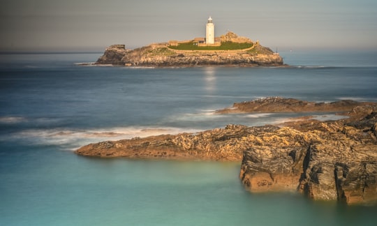

11 - Godrevy Lighthouse
17 km away
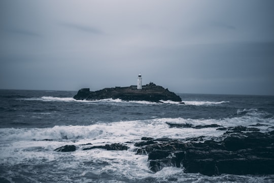
Godrevy Lighthouse was built in 1858–1859 on Godrevy Island in St Ives Bay, Cornwall. Standing approximately 300 metres off Godrevy Head, it marks the Stones reef, which has been a hazard to shipping for centuries.
View on Google Maps Book this experience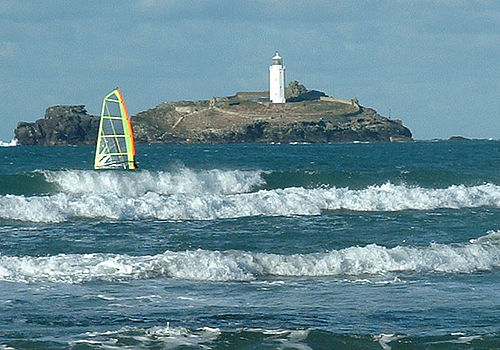
12 - Hayle
17 km away
Hayle is a small town, civil parish and cargo port in west Cornwall, United Kingdom. It is situated at the mouth of the Hayle River and is approximately seven miles northeast of Penzance.
Learn more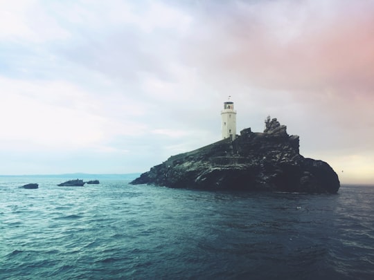
13 - Godrevy Heritage Coast
19 km away
Learn more
14 - The Lizard Heritage Coast
26 km away
Learn more
Disover the best Instagram Spots around Penzance here
Book Tours and Activities in Penzance
Discover the best tours and activities around Penzance, United Kingdom and book your travel experience today with our booking partners
Pictures and Stories of Penzance from Influencers
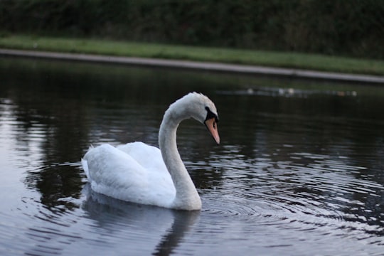
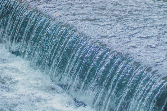
2 pictures of Penzance from Connor Moyle, , and other travelers
Plan your trip in Penzance with AI 🤖 🗺
Roadtrips.ai is a AI powered trip planner that you can use to generate a customized trip itinerary for any destination in United Kingdom in just one clickJust write your activities preferences, budget and number of days travelling and our artificial intelligence will do the rest for you
👉 Use the AI Trip Planner
Why should you visit Penzance ?
Travel to Penzance if you like:
🏞️ Waterway 🏞️ WaterfallWhere to Stay in Penzance
Discover the best hotels around Penzance, United Kingdom and book your stay today with our booking partner booking.com
More Travel spots to explore around Penzance
Click on the pictures to learn more about the places and to get directions
Discover more travel spots to explore around Penzance
🏖️ Shore spots ⛰️ Cliff spots 🏖️ Headland spots ⛰️ Hill station spots 🏊 Swimming pool spots 🏞️ Waterfall spots 🏞️ Waterway spotsTravel map of Penzance
Explore popular touristic places around Penzance
