Travel Guide of Hope Valley in United Kingdom by Influencers and Travelers
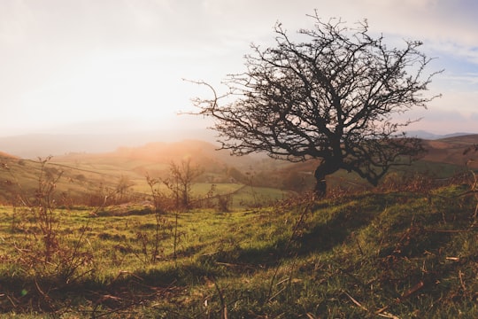
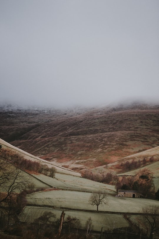
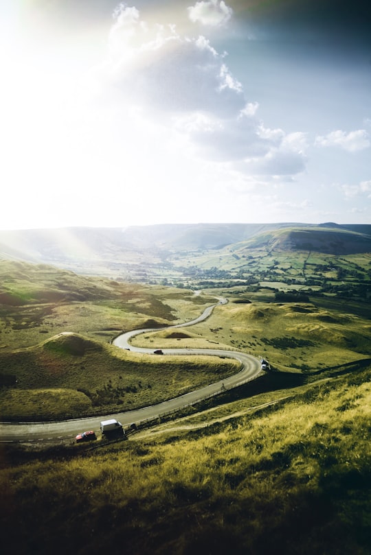
The Hope Valley is a rural area centred on the village of Hope, Derbyshire, in the Peak District in the northern Midlands of England. The name also applies to the post town that includes the surrounding villages.
Pictures and Stories of Hope Valley from Influencers
2 pictures of Hope Valley from Annie Spratt, Ali Gooya, and other travelers
Plan your trip in Hope Valley with AI 🤖 🗺
Roadtrips.ai is a AI powered trip planner that you can use to generate a customized trip itinerary for any destination in United Kingdom in just one clickJust write your activities preferences, budget and number of days travelling and our artificial intelligence will do the rest for you
👉 Use the AI Trip Planner
The Best Things to Do and Visit around Hope Valley
Disover the best Instagram Spots around Hope Valley here
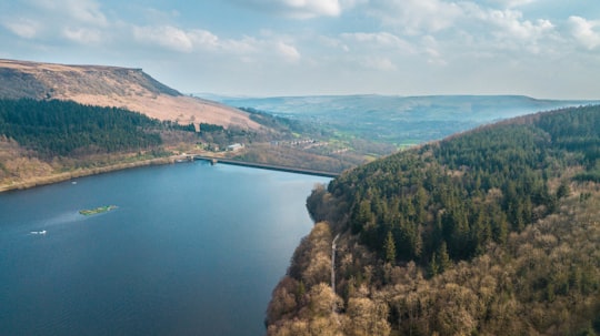
1 - Ladybower Reservoir
Ladybower Reservoir is a large Y-shaped, artificial reservoir, the lowest of three in the Upper Derwent Valley in Derbyshire, England.
Learn more Book this experience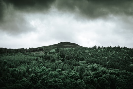
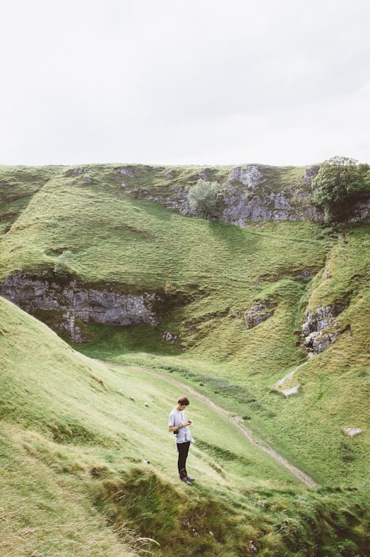
2 - Cave Dale
Cave Dale is a dry limestone valley in the Derbyshire Peak District, England. It is located at grid reference SK149824. The northern end of the dale starts at the village of Castleton where the valley sides are almost perpendicular and over 50 metres in height.
Learn more Book this experience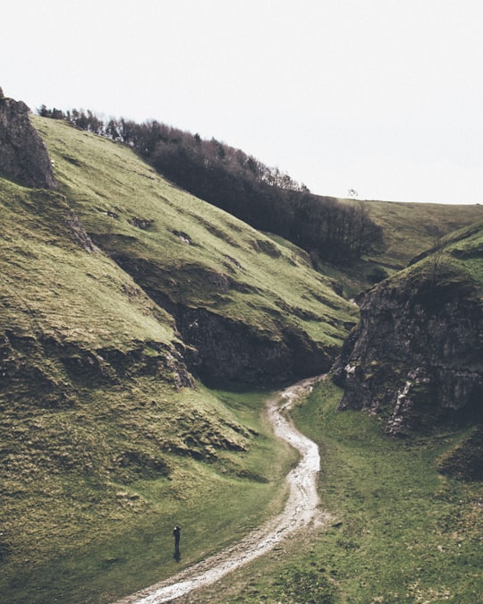
3 - Sightseeing | Castleton
Explore the scenic Peak District National Park. Marvel at rolling hills, charming villages, and iconic routes like Snake Pass. Plus, hike well-loved trails like Kinder Scout and Mam Tor.
Learn more
4 - Stanage Edge
Stanage Edge, or simply Stanage is a gritstone escarpment in the Peak District, England, famous as a location for climbing. It lies a couple of miles to the north of Hathersage, and the northern part of the edge forms the border between the High Peak of Derbyshire and Sheffield in South Yorkshire.
Learn more Book this experience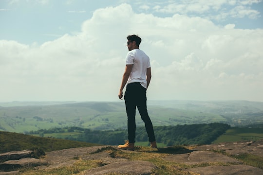
5 - Winnats Pass
6 km away
Winnats Pass is a hill pass and limestone gorge in the Peak District of Derbyshire, England. The name is a corruption of 'wind gates' due to the swirling winds through the pass.
Learn more Book this experience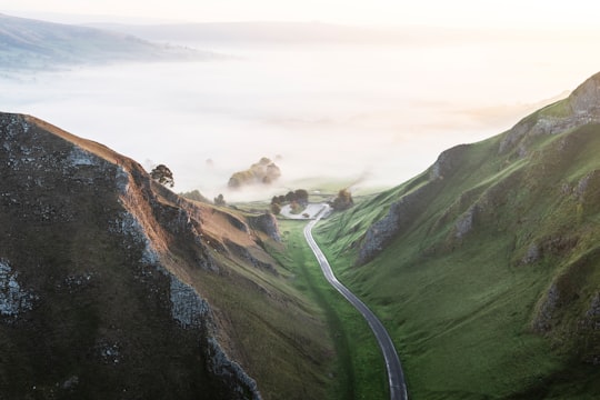
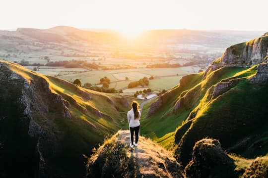
6 - Derwent Reservoir
7 km away
Derwent Reservoir is the middle of three reservoirs in the Upper Derwent Valley in the north of Derbyshire, England. It lies approximately 10 miles from Glossop and 10 miles from Sheffield.
Learn more Book this experience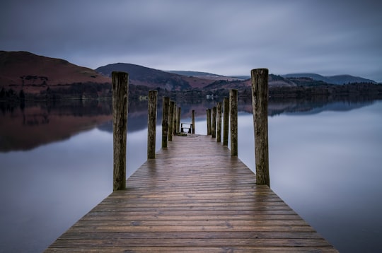

7 - Mam Tor
7 km away
Mam Tor is a 517 m hill near Castleton in the High Peak of Derbyshire, England. Its name means "mother hill", so called because frequent landslips on its eastern face have resulted in a multitude of "mini-hills" beneath it.
Learn more Book this experience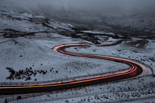

8 - Hathersage
7 km away
Hathersage is a village and civil parish in the Peak District in Derbyshire, England. It lies slightly to the north of the River Derwent, approximately 10 miles south-west of Sheffield.
Learn more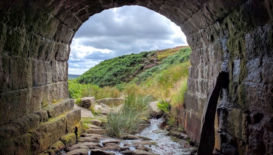
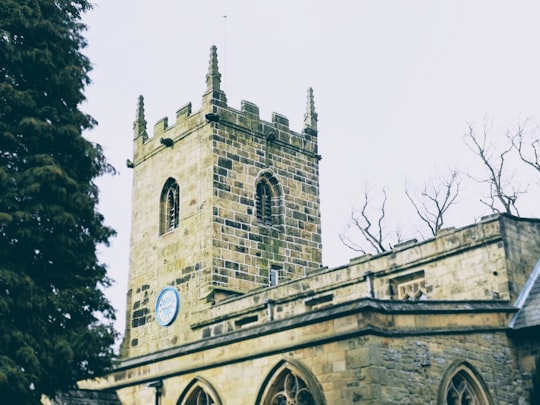
9 - Eyam Parish Church
8 km away
Learn more
10 - Kinder Scout
12 km away
Kinder Scout is a moorland plateau and national nature reserve in the Dark Peak of the Derbyshire Peak District in England. Part of the moor, at 636 metres above sea level, is the highest point in the Peak District, the highest point in Derbyshire, and the highest point in the East Midlands.
Learn more Book this experience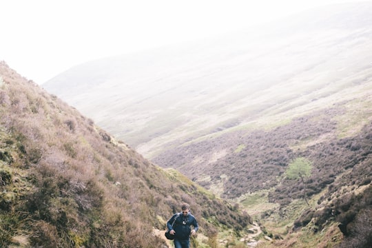
11 - Peak District National Park
13 km away
Learn more
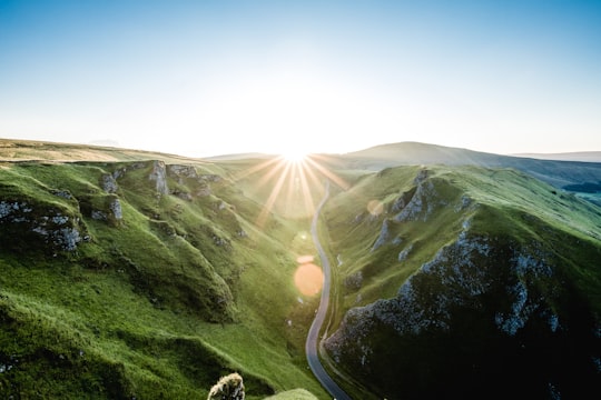
12 - Endcliffe Park
14 km away
Endcliffe Park is a large park in the city of Sheffield, South Yorkshire, England. The park was opened in 1887 to commemorate the Jubilee of Queen Victoria.
Learn more Book this experience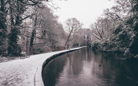
13 - Chatsworth House
16 km away
Chatsworth House is a stately home in the Derbyshire Dales, 3.5 miles north-east of Bakewell and 9 miles west of Chesterfield, England. The seat of the Duke of Devonshire, it has belonged to the Cavendish family since 1549.
Learn more Book this experience

14 - Sheffield
16 km away
Sheffield is a city in South Yorkshire, England, serving as the administrative centre of the City of Sheffield. The name derives from the River Sheaf which runs through the city.
Learn more
15 - Chrome Hill
19 km away
Chrome Hill is a limestone reef knoll in Derbyshire, England, in the upper Dove valley beside the border with Staffordshire. It is adjacent to Parkhouse Hill, another reef knoll.
Learn more Book this experience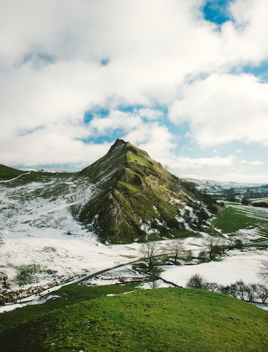

16 - Cat and Fiddle Road
20 km away
The Cat and Fiddle is a road in England between Buxton, Derbyshire, and Macclesfield, Cheshire, named after the Cat and Fiddle Inn public house at its summit.
View on Google Maps Book this experience
17 - Stockport
22 km away
Stockport is a town and borough in Greater Manchester, England, 7 miles south-east of Manchester, 9 miles south-west of Ashton-under-Lyne and 12 miles north of Macclesfield. The River Goyt and Tame merge to create the River Mersey here.
Learn more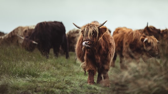
18 - Shutlingsloe
24 km away
Shutlingsloe is a hill near the village of Wildboarclough, in the east of the county of Cheshire. It stands to the south of Macclesfield Forest, on the edge of the Peak District and within the Peak District National Park.
Learn more Book this experience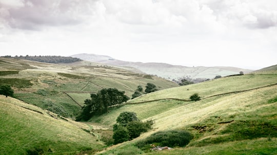

19 - Holmfirth
24 km away
Holmfirth is a town in the Metropolitan Borough of Kirklees, West Yorkshire, England, on the A635 and A6024 in the Holme Valley, at the confluence of the River Holme and Ribble, 6 miles south of Huddersfield and 14 miles west of Barnsley.
Learn more
20 - Macclesfield
24 km away
Macclesfield is a market town and civil parish in the unitary authority of Cheshire East in Cheshire, England. It is located on the River Bollin in the east of the county, on the edge of the Cheshire Plain, with Macclesfield Forest to its east; it is 16 miles south of Manchester and 38 miles east of Chester.
Learn more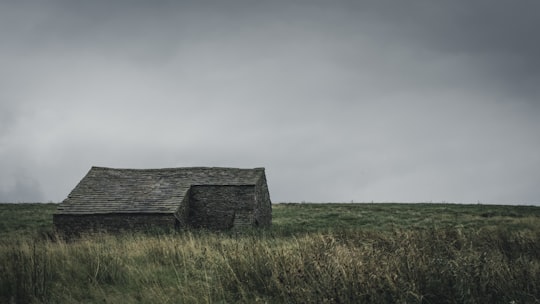
21 - Wessenden Head Reservoir
26 km away
Wessenden Head Reservoir is the highest in a series of four reservoirs in the Wessenden Valley above the village of Marsden in West Yorkshire, at the northern end of the Peak District National Park.
Learn more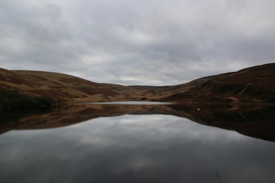
Book Tours and Activities in Hope Valley
Discover the best tours and activities around Hope Valley, United Kingdom and book your travel experience today with our booking partners
Learn More about Hope Valley
Hope Valley is a community located north of Bradwell with a population of approximately 1,000. Explore an area ideal for walking where bars, historical sites and attractions from Peveril Castle to Peak Cavern await you.Although Hope Valley appears to be a single valley, the name of the river changes several times.
Where to Stay near Hope Valley
Discover the best hotels around Hope Valley, United Kingdom and book your stay today with our booking partner booking.com
More Travel spots to explore around Hope Valley
Click on the pictures to learn more about the places and to get directions
Discover more travel spots to explore around Hope Valley
⛰️ Hill spots 🏘️ Cottage spots 🌲 Plain spots 🛣️ Road trip spots ⛰️ Highland spots 🌲 Ecoregion spots ️🏜️ Desert spots 🏞️ Reservoir spots ⛰️ Rock climbing spots Adventure spots ❄️ Tundra spots ️🏜️ Dune spots 🌉 Humpback bridge spots 🗼 Landmark spots 🏞️ Loch spots Mountain pass spots 🏞️ National park spots 🚢 Pier spotsTravel map of Hope Valley
Explore popular touristic places around Hope Valley
