Travel Guide of Gillingham in United Kingdom by Influencers and Travelers
Gillingham is a large town in the unitary authority area of Medway in the ceremonial county of Kent, England. The town forms a conurbation with neighbouring towns Chatham, Rochester, Strood and Rainham. It is also the largest town in the borough of Medway.
The Best Things to Do and Visit in Gillingham
TRAVELERS TOP 10 :
- Hartlip
- Capstone Farm Country Park
- Tours & Sightseeing | London Bike Tours
- Mote Park
- Aylesford Carmelite Priory
- Chatham
- Leeds Castle
- Leigh-on-Sea
- Southend-on-Sea
- Haysden Country Park
1 - Hartlip
6 km away
Hartlip is a village and civil parish in the borough of Swale, in the county of Kent, England. The population estimate was 680 in 1991, and in 2001 there were 566 registered voters. At the 2011 Census the population was 746.
Learn more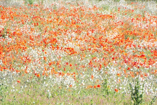
2 - Capstone Farm Country Park
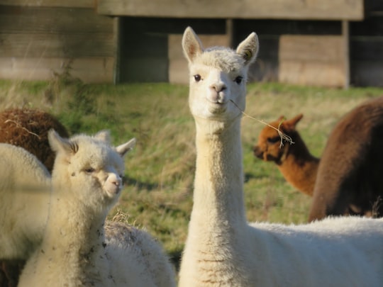
Capstone Farm Country Park is in Chatham, Kent, Medway, in Kent, England. A former farm converted into a landscaped park and open-space area. This park is set on 114 hectares of converted farm land, on the North Downs, near Walderslade. It is within the Kent Downs, an Area of Outstanding Natural Beauty.
Learn more Book this experience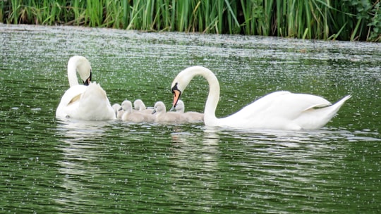

3 - Tours & Sightseeing | London Bike Tours
23 km away
Just 50 minutes from London by train, and you’ll get a true taste of the English countryside. Trade in the underground for an electric bike that’s fully equipped with maps and a helmet so you can start exploring safely. Hop on your saddle and let the electric motor lend a hand when it comes to hills and long stretches of road. You’ll get to cycle along quiet lanes and see everything from castles to World War II planes – Spitfires and Hurricanes – on old wartime airfields. Stop where you please and grab lunch at a local pub or one of the vineyards you’ll cycle past.
Book this experience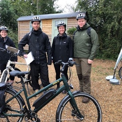
4 - Mote Park
10 km away
Mote Park is a 440-acre multi-use public park in Maidstone, Kent. Previously a country estate it was converted to landscaped park land at the end of the 18th century before becoming a municipal park.
Learn more Book this experience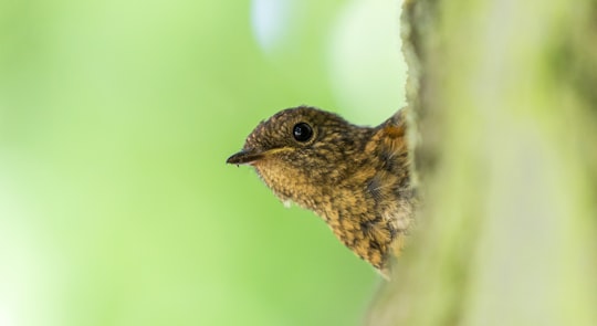
5 - Aylesford Carmelite Priory
8 km away
Learn more

6 - Chatham
Learn more
7 - Leeds Castle
13 km away
Leeds Castle is a castle in Kent, England, 5 miles southeast of Maidstone. It is built on islands in a lake formed by the River Len to the east of the village of Leeds.
Learn more Book this experience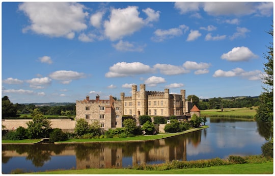
8 - Leigh-on-Sea
22 km away
Leigh-on-Sea, commonly referred to simply as Leigh, is a town and civil parish in the City of Southend-on-Sea, in the ceremonial county of Essex, England. In 2011, it had a population of 22,509.
Learn more
9 - Southend-on-Sea
23 km away
Southend-on-Sea, commonly referred to simply as Southend, is a town and wider unitary authority area with borough status in southeastern Essex, England. It lies on the north side of the Thames Estuary, 40 miles east of central London. It is bordered to the north by Rochford and to the west by Castle Point. It is home to the longest leisure pier in the world, Southend Pier. London Southend Airport is located 1.5 NM north of the town centre.
Learn more
10 - Haysden Country Park
28 km away
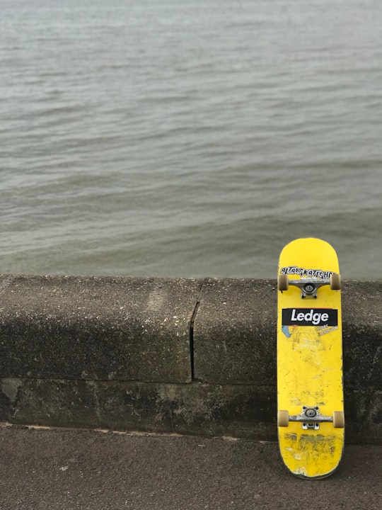
Haysden Country Park is a 64-hectare country park and Local Nature Reserve on the outskirts of Tonbridge in Kent. It is owned by Tonbridge and Malling Borough Council, the Highways Agency, Network Rail and the Environment Agency, and managed by the council.
Learn more Book this experience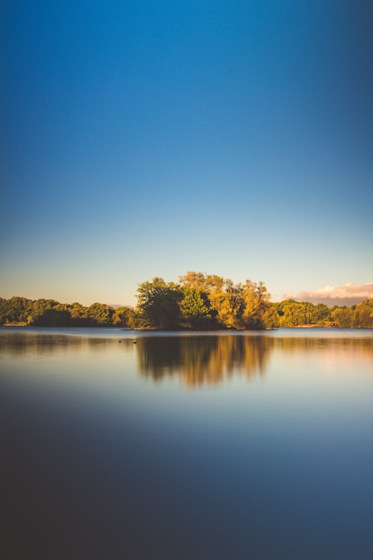
11 - Seasalter
28 km away
Seasalter is a village in the Canterbury District of Kent, England. Seasalter is on the north coast of Kent, between the towns of Whitstable and Faversham, facing the Isle of Sheppey across the estuary of the River Swale.
Learn more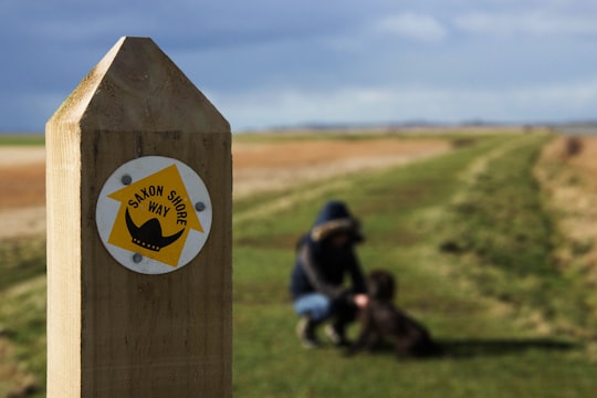
12 - High Weald AONB
34 km away
The High Weald Area of Outstanding Natural Beauty is in south-east England. Covering an area of 1,450 square kilometres, it takes up parts of Kent, Surrey, East Sussex, and West Sussex. It is the fourth largest Area of Outstanding Natural Beauty in England and Wales.
Learn more
13 - Woolwich Ferry
38 km away
The Woolwich Ferry is a free vehicle and pedestrian ferry across the River Thames in East London, connecting Woolwich on the south bank with North Woolwich on the north.
Learn more
14 - New Romney
49 km away
New Romney is a market town in Kent, England, on the edge of Romney Marsh, an area of flat, rich agricultural land reclaimed from the sea after the harbour began to silt up.
Learn more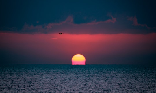
15 - Rye Harbour Holiday Park
49 km away
Learn more
16 - Camber Sands
50 km away
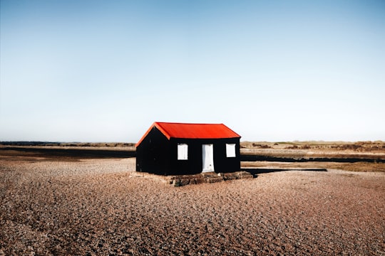
Camber Sands is a beach in East Sussex, UK, in the village of Camber, near Rye. It is the only sand dune system in East Sussex, and is east of the estuary of the River Rother at Rye Bay stretching 3 miles to just beyond the Kent border, where shingle and pebbles take over again.
Learn more Book this experience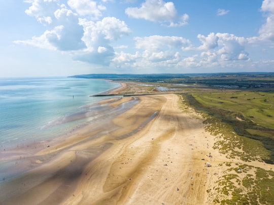
Disover the best Instagram Spots around Gillingham here
Book Tours and Activities in Gillingham
Discover the best tours and activities around Gillingham, United Kingdom and book your travel experience today with our booking partners
Plan your trip in Gillingham with AI 🤖 🗺
Roadtrips.ai is a AI powered trip planner that you can use to generate a customized trip itinerary for any destination in United Kingdom in just one clickJust write your activities preferences, budget and number of days travelling and our artificial intelligence will do the rest for you
👉 Use the AI Trip Planner
Where to Stay in Gillingham
Discover the best hotels around Gillingham, United Kingdom and book your stay today with our booking partner booking.com
More Travel spots to explore around Gillingham
Click on the pictures to learn more about the places and to get directions
Discover more travel spots to explore around Gillingham
🌴 Jungle spots 🌲 Nature reserve spotsTravel map of Gillingham
Explore popular touristic places around Gillingham