Travel Guide of Grisons in Switzerland by Influencers and Travelers
The canton of Grisons, or canton of Graubünden, is the largest and easternmost canton of Switzerland. It has international borders with Italy, Austria, and Liechtenstein.
Download the Travel Map of Switzerland on Google Maps here
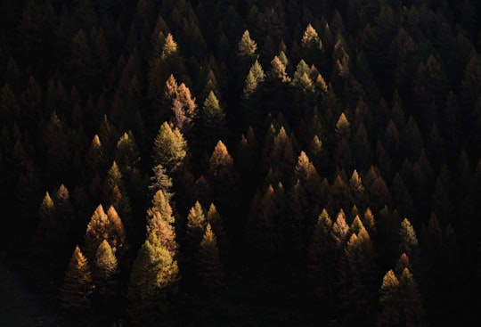
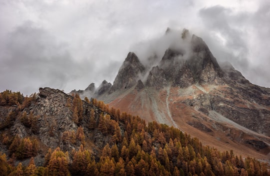
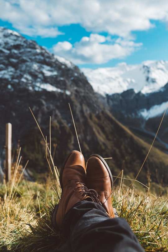
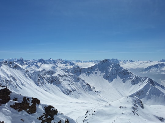
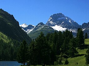
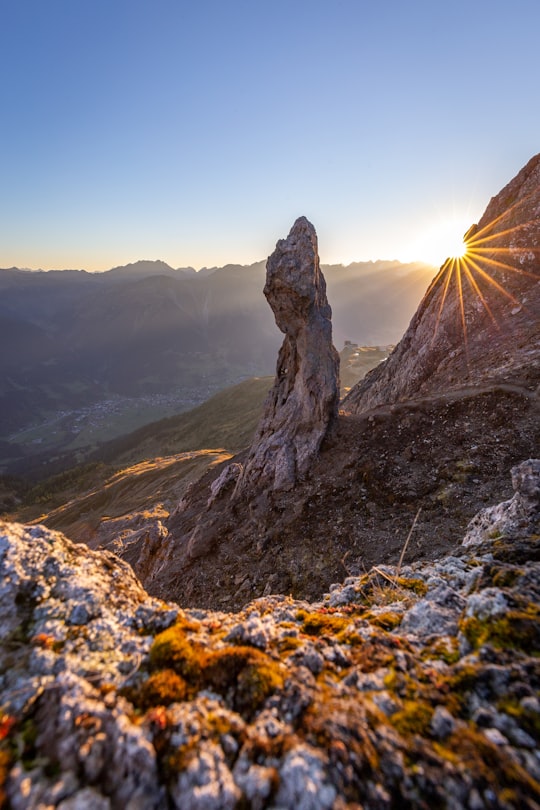
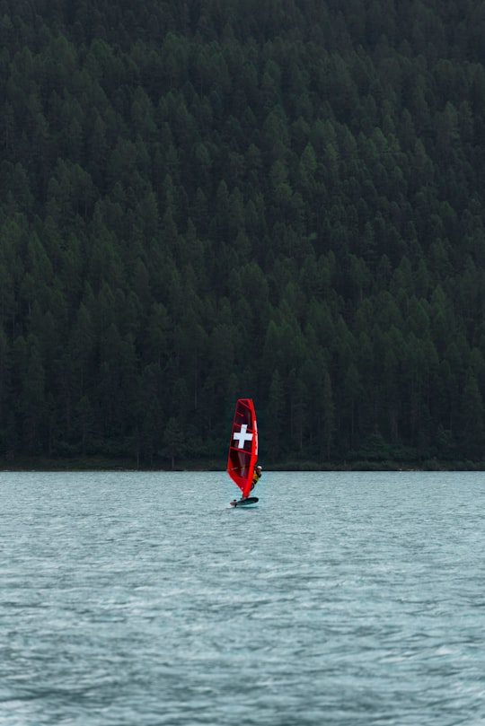
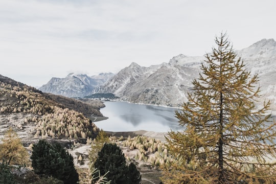
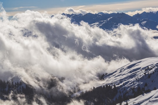
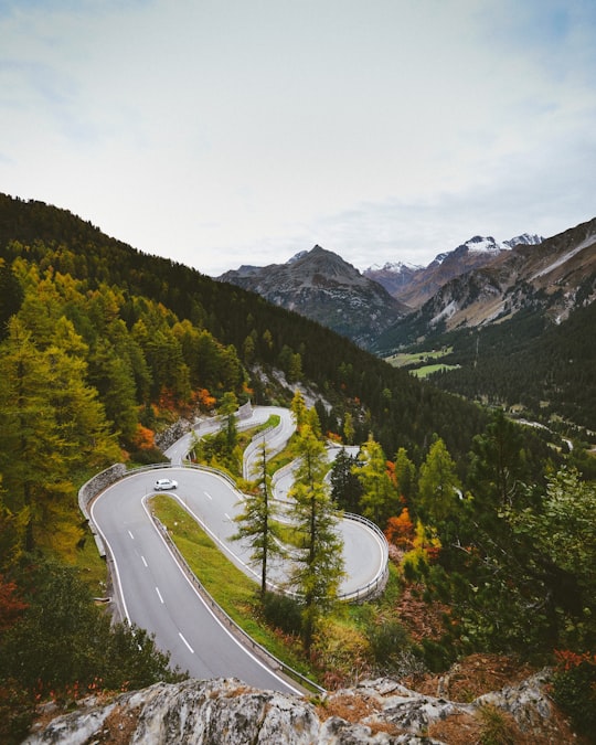
Pictures and Stories of Grisons from Influencers
5 pictures of Grisons from Samuel Ferrara, Yannick Pulver, Jon and other travelers


Plan your trip in Grisons with AI 🤖 🗺
Roadtrips.ai is a AI powered trip planner that you can use to generate a customized trip itinerary for any destination in Switzerland in just one clickJust write your activities preferences, budget and number of days travelling and our artificial intelligence will do the rest for you
👉 Use the AI Trip Planner
The Best Things to Do and Visit around Grisons
Disover the best Instagram Spots around Grisons here
1 - Lenzerheide
8 km away
Lenzerheide is a mountain resort in the canton of Graubünden, Switzerland at the foot of the Parpaner Rothorn. The village lies in the municipality Vaz/Obervaz in the district of Albula, sub-district Alvaschein.
Learn more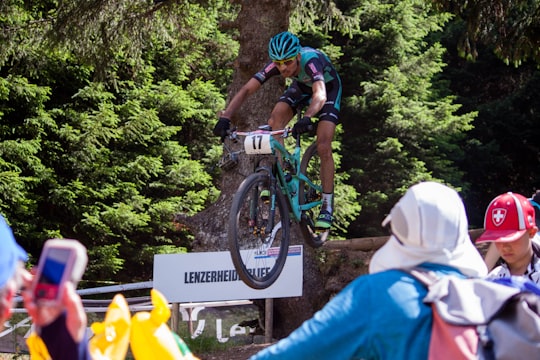
2 - Schmitten (Albula)
8 km away
Schmitten is a municipality in the Albula Region in the canton of Graubünden in Switzerland.
Learn more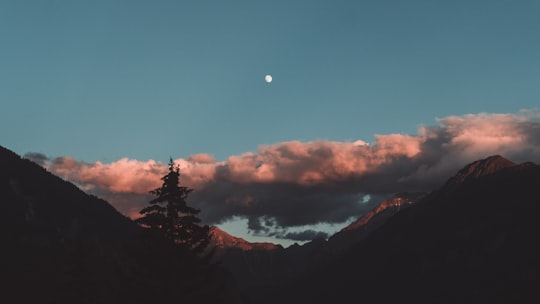
3 - Canyoning in Thusis
11 km away
Explore one of Europe's most easily accessible and exciting canyon systems with half day excursions to Viamala gorge in Thusis. Steeped in myth and legend, the Viamala gorge is more than just an adventure destination, with a dark history th...
Learn more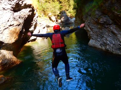
4 - Arosa
16 km away
Arosa is a town and a municipality in the Plessur Region in the canton of Graubünden in Switzerland. It is both a summer and a winter tourist resort.
Learn more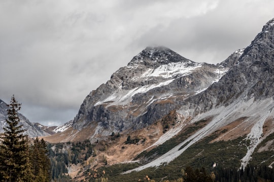
5 - Parc Ela
17 km away
Parc Ela is a nature park in the canton of Graubünden, Switzerland. It is intended to protect the regional biotope, help promote its sustainable use and give a boost to an area rich in scenery and national cultural assets, but weak economically.
Learn more Book this experience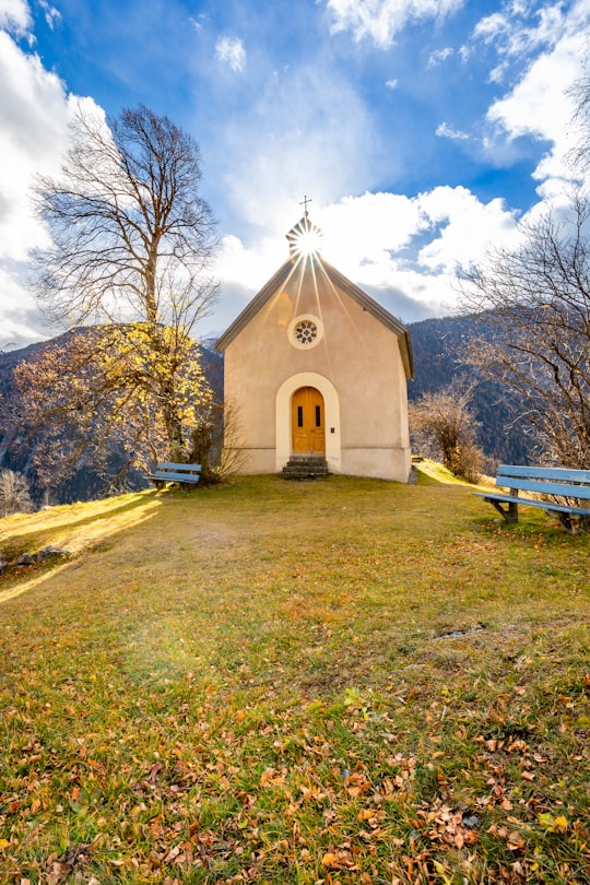
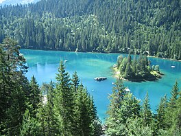
6 - Caumasee
17 km away
Caumasee is a lake near Flims, in the Grisons, Switzerland. It is one of the lakes on the Flims Rockslide deposits. The lake is fed from underground sources. Its surface area is 10.3194 ha.
Learn more Book this experience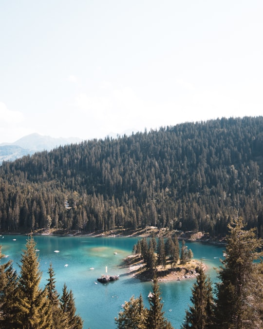
7 - Chur
21 km away
Chur or Coire is the capital and largest town of the Swiss canton of Grisons and lies in the Grisonian Rhine Valley, where the Rhine turns towards the north, in the northern part of the canton.
Learn more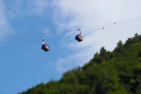
8 - Langwies
24 km away
Langwies is a former municipality in the district of Plessur in the canton of Graubünden in Switzerland. On 1 January 2013 the former municipalities of Langwies, Calfreisen, Castiel, Lüen, Molinis, Peist and St.
Learn more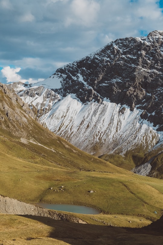
9 - Pizol
25 km away
The Pizol is a mountain in the Glarus Alps of northeastern Switzerland, overlooking Wangs in the canton of St. Gallen. At 2,844 metres above sea level, it is the highest summit of the chain separating the valleys of the Seez and the Tamina rivers, and the highest mountain lying entirely within the canton of St.
Learn more Book this experience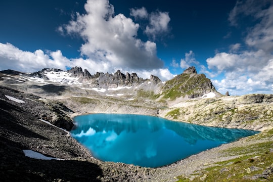

10 - Davos
26 km away
Davos is an Alpine town, and a municipality in the Prättigau/Davos Region in the canton of Graubünden, Switzerland. It has a permanent population of 10,899.
Learn more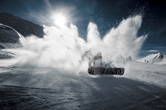
11 - Rheinschlucht
26 km away
Ruinaulta is a canyon created by the Anterior Rhine between Ilanz/Glion and Reichenau in the debris of the Flims Rockslide just upstream of its confluence with the Posterior Rhine at Reichenau in the Grisons, eastern Switzerland.
Learn more Book this experience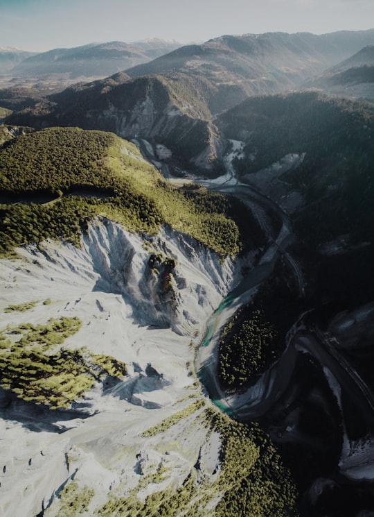
12 - Flims
28 km away
Flims is a municipality in the Imboden Region in the Swiss canton of Graubünden. The town of Flims is dominated by the Flimserstein which one can see from almost anywhere in the area.
Learn more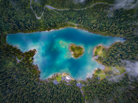
13 - Lake Silvaplana
28 km away
Lake Silvaplana is a lake in the Upper-Engadine valley of Grisons, Switzerland. It takes its name from the village of Silvaplana. The lake is also connected to the nearby Lej da Champfèr. Together with its larger neighbour, Lake Sils, it is among the largest lakes of the Grisons. Lake Silvaplana is overlooked by several mountains over 3,000 metres, notably Piz Corvatsch, Piz Julier and Piz Surlej.
Learn more Book this experience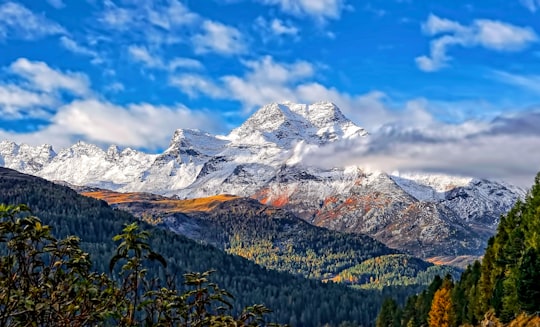
14 - Crestasee
28 km away
Crestasee is a small lake shared by the municipalities of Flims and Trin in the Grisons, Switzerland. From 1892 a guest house on its northern end served as pension and still is a restaurant today in its original state. There is no tributary to the lake.
Learn more Book this experience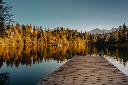
15 - Sils im Engadin/Segl
29 km away
Sils im Engadin/Segl, often also as Sils i.E./Segl, is a municipality and a village in the Maloja Region, Upper Engadine in the Swiss canton of the Grisons.
Learn more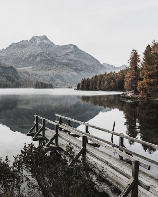
16 - Madulain
29 km away
Madulain is a municipality in the Maloja Region in the Swiss canton of Graubünden.
Learn more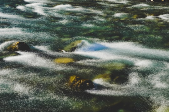
17 - Muottas Muragl
29 km away
Muottas Muragl is a location on the southern slopes of the Blais da Muottas, a summit at the western end of the range descending from Piz Vadret, in the Swiss canton of Graubünden. It overlooks the Engadin, between the towns of Samedan, St. Moritz and Pontresina. The mountain is within the municipality of Samedan.
Learn more Book this experience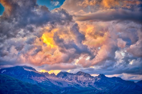
18 - Laax
30 km away
Laax is a municipality in the Surselva Region in the Swiss canton of Graubünden.
Learn more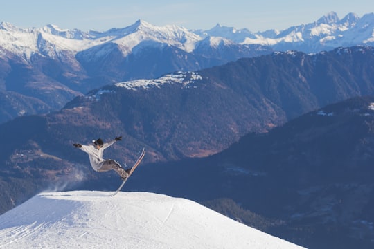
19 - Maloja Pass
30 km away
Maloja Pass is a high mountain pass in the Swiss Alps in the canton of Graubünden, linking the Engadine with the Val Bregaglia, still in Switzerland and Chiavenna in Italy. It marks the divide between the Danube and Po watersheds. Lägh da Bitabergh is near the pass. The road from Chiavenna to Silvaplana with distances and elevation: 0 km Chiavenna 333 m 10 km Castasegna 696 m 13 km Promontogno 802 m 16 km Stampa 994 m 18 km Borgonovo 1029 m 19 km Vicosoprano 1065 m 27 km Casaccia 1458 m 32 km Maloja Pass 1815 m 33 km Maloja 1809 m 40 km Sils im Engadin/Segl 1798 m 44 km Silvaplana 1802 m The Maloja Pass is open in winter.
Learn more Book this experience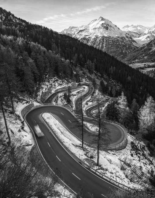
20 - Flüela Pass
30 km away
Flüela Pass is a high mountain pass in the Swiss Alps in the canton of Graubünden. The road connects Davos and Susch in the lower Engadin valley. Since the Vereina Tunnel opened in 1999, the road is no longer guaranteed to be open all year. An NGO, Pro Flüela Verein, was established in 1990 to extend the opening outside the summer months. It raises money from membership fees, and grants from the cantonal government and local communes
Learn more Book this experience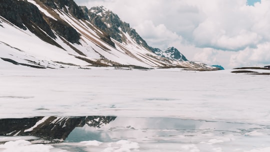
21 - Pontresina
33 km away
Pontresina is a municipality in the Maloja Region in the canton of Graubünden in Switzerland.
Learn more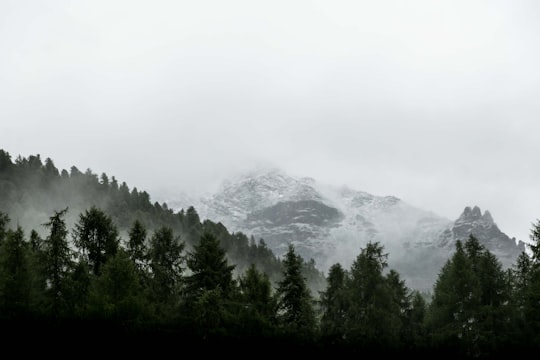
Book Tours and Activities in Grisons
Discover the best tours and activities around Grisons, Switzerland and book your travel experience today with our booking partners
Where to Stay near Grisons
Discover the best hotels around Grisons, Switzerland and book your stay today with our booking partner booking.com
More Travel spots to explore around Grisons
Click on the pictures to learn more about the places and to get directions
Discover more travel spots to explore around Grisons
⛰️ Hill station spots ⛰️ Highland spots ⛰️ Hill spots 🏖️ Archipelago spots Cave spotsTravel map of Grisons
Explore popular touristic places around Grisons
Download On Google Maps 🗺️📲