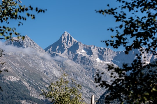
Travel Guide of Visperterminen in Switzerland by Influencers and Travelers
Visperterminen is a municipality in the district of Visp in the canton of Valais in Switzerland.
Download the Travel Map of Switzerland on Google Maps here
The Best Things to Do and Visit in Visperterminen
TRAVELERS TOP 10 :
- Belalp
- Randa
- Paragliding in Brig
- Bettmerhorn
- Lax
- Snowkiting in Brig
- Weisshorn
- Aletsch Glacier
- Rafting in Zermatt
- Bellwald
1 - Belalp
14 km away
Belalp is a village and ski resort in the Swiss canton of Valais, situated at approximately 2,100 metres above sea level in the municipality of Naters.
Learn more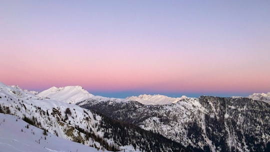
2 - Randa
20 km away
Randa is a municipality in the district of Visp in the canton of Valais in Switzerland. It is located between the Weisshorn and the Dom in the Matter Valley.
Learn more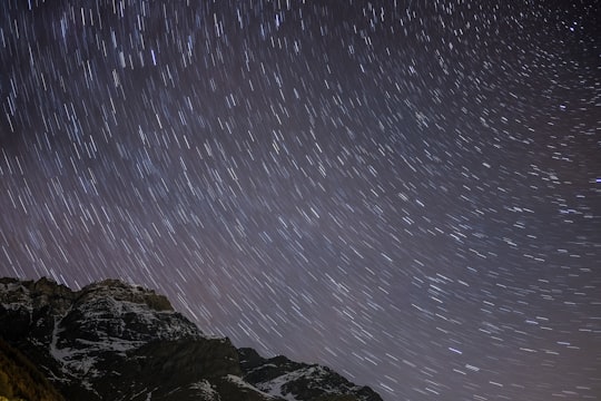
3 - Paragliding in Brig
10 km away
Get ready for an exciting tandem paragliding flight over the Aletsch region from Brim and enjoy breathtaking views of the snow-covered picks of Switzerland! Have you ever dreamt of flying over a dreamy location in the Alps? The Aletsch region is the ...
Book this experience
4 - Bettmerhorn
22 km away
The Bettmerhorn is a mountain of the Bernese Alps, located north of Bettmeralp in the Swiss canton of Valais. The summit can be reached with a 30-minute vertical hike after ascending most of the mountain by cable car from the car free village of Bettmeralp.
Learn more Book this experience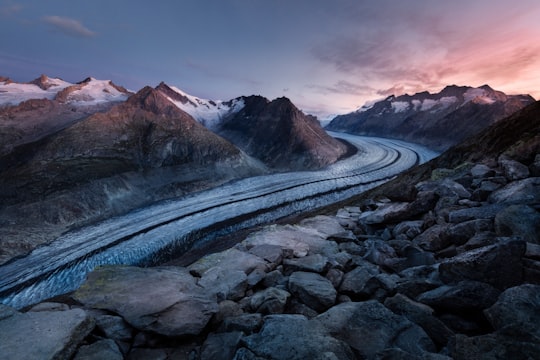
5 - Lax
22 km away
Lax is a municipality in the district of Goms in the canton of Valais in Switzerland.
Learn more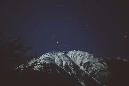
6 - Snowkiting in Brig
10 km away
Transition from the water to the snow and learn how to snowkite in the Simplon Pass, a world-renowned snowkiter's paradise! Get high on adrenaline and say goodbye to the pure powder beneath as you fly with the wind. These courses are designed f...
Book this experience
7 - Weisshorn
23 km away
The Weisshorn is a major peak of Switzerland and the Alps, culminating at 4,506 metres above sea level. It is part of the Pennine Alps and is located between the valleys of Anniviers and Zermatt in the canton of Valais.
Learn more Book this experience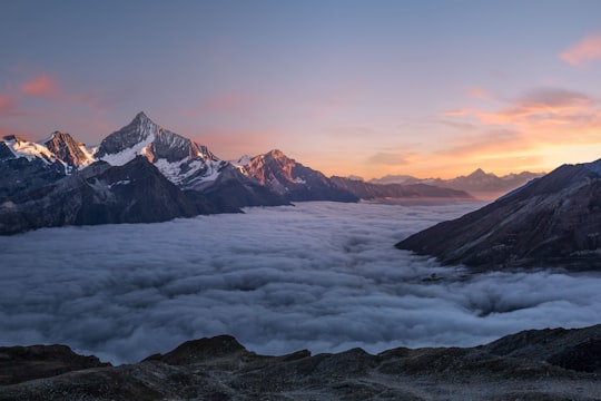
8 - Aletsch Glacier
25 km away
The Aletsch Glacier or Great Aletsch Glacier is the largest glacier in the Alps. It has a length of about 23 km, has about a volume of 15.4 km³, and covers about 81.7 km² in the eastern Bernese Alps in the Swiss canton of Valais.
Learn more Book this experience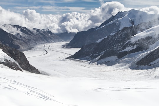

9 - Rafting in Zermatt
The Vispa river is a tributary of the Rhone, flowing through the bottom of the Vispa valley and joining the Rhone in the municipality of Vispa. The river is a typical alpine river, with its flow influenced by glacier melt and precipitation. The Vispa...
Book this experience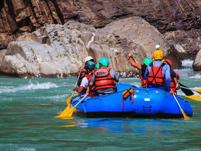
10 - Bellwald
27 km away
Bellwald is a municipality in the district of Goms in the canton of Valais in Switzerland.
Learn more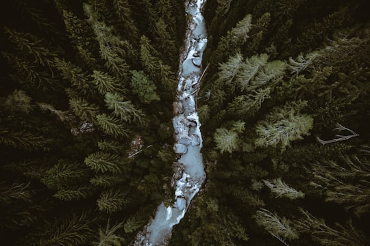
11 - Zermatt
29 km away
Zermatt is a municipality in the district of Visp in the German-speaking section of the canton of Valais in Switzerland. It has a population of about 5,800 inhabitants and is classified as a town by the Swiss Federal Statistical Office.
Learn more

12 - Hang gliding in Brig
10 km away
Hang glide through the Swiss mountains while catching incredible views of the Aletsch glacier and surrounding nature starting from Brig. Hang gliding is the closest feeling one can get to flying like a bird. What better way to enjoy th...
Book this experience
13 - Oeschinen Lake
30 km away
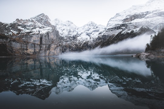
Oeschinen Lake is a lake in the Bernese Oberland, Switzerland, 4 kilometres east of Kandersteg in the Oeschinen valley. At an elevation of 1,578 metres, it has a surface area of 1.1147 square kilometres. Its maximum depth is 56 metres.
Learn more Book this experience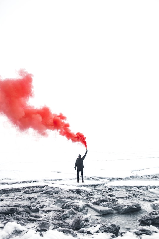
14 - Gimmelwald
30 km away
Gimmelwald is a small traffic free village in the Bernese Oberland in the Canton of Bern, Switzerland, and is located between Stechelberg and Mürren, at an elevation of 1363 meters.
Learn more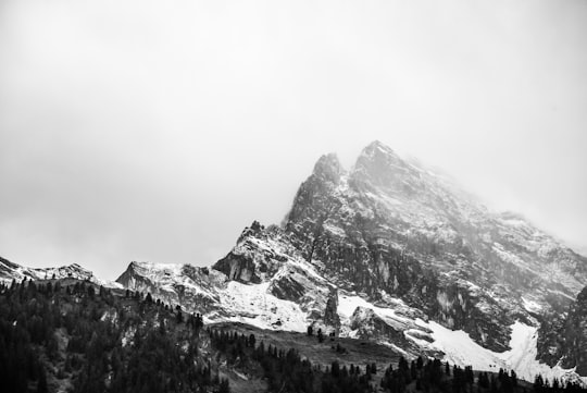
Disover the best Instagram Spots around Visperterminen here
Book Tours and Activities in Visperterminen
Discover the best tours and activities around Visperterminen, Switzerland and book your travel experience today with our booking partners
Pictures and Stories of Visperterminen from Influencers
Picture from Jan Brantschen who have traveled to Visperterminen
Plan your trip in Visperterminen with AI 🤖 🗺
Roadtrips.ai is a AI powered trip planner that you can use to generate a customized trip itinerary for any destination in Switzerland in just one clickJust write your activities preferences, budget and number of days travelling and our artificial intelligence will do the rest for you
👉 Use the AI Trip Planner
Why should you visit Visperterminen ?
Travel to Visperterminen if you like:
❄️ Glacier ⛰️ Mountain range ❄️ Glacial landform ⛰️ Mountain ❄️ Ski mountaineering 🌲 ForestWhere to Stay in Visperterminen
Discover the best hotels around Visperterminen, Switzerland and book your stay today with our booking partner booking.com
More Travel spots to explore around Visperterminen
Click on the pictures to learn more about the places and to get directions
Discover more travel spots to explore around Visperterminen
⛰️ Hill station spotsTravel map of Visperterminen
Explore popular touristic places around Visperterminen
Download On Google Maps 🗺️📲
