Travel Guide of Sils Maria in Switzerland by Influencers and Travelers
Sils im Engadin/Segl, often also as Sils i.E./Segl, is a municipality and a village in the Maloja Region, Upper Engadine in the Swiss canton of the Grisons.
Download the Travel Map of Switzerland on Google Maps here
The Best Things to Do and Visit in Sils Maria
TRAVELERS TOP 10 :
- Sils im Engadin/Segl
- Lake Silvaplana
- Rafting in St Moritz
- Piz Corvatsch
- Pontresina
- Paragliding in St Moritz
- Maloja Pass
- Muottas Muragl
- Backcountry Skiing in St Moritz
- Albula Pass
1 - Sils im Engadin/Segl
Sils im Engadin/Segl, often also as Sils i.E./Segl, is a municipality and a village in the Maloja Region, Upper Engadine in the Swiss canton of the Grisons.
Learn more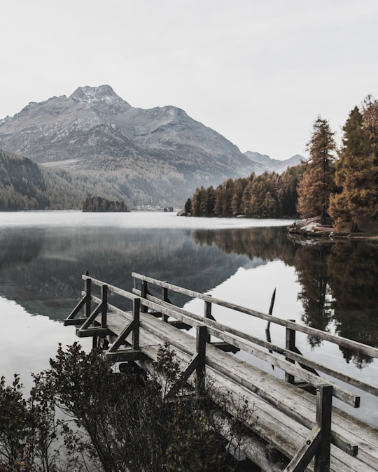
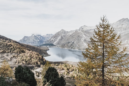
2 - Lake Silvaplana
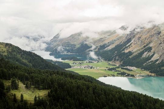
Lake Silvaplana is a lake in the Upper-Engadine valley of Grisons, Switzerland. It takes its name from the village of Silvaplana. The lake is also connected to the nearby Lej da Champfèr. Together with its larger neighbour, Lake Sils, it is among the largest lakes of the Grisons. Lake Silvaplana is overlooked by several mountains over 3,000 metres, notably Piz Corvatsch, Piz Julier and Piz Surlej.
Learn more Book this experience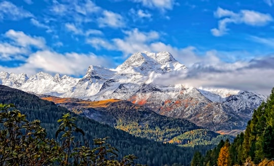
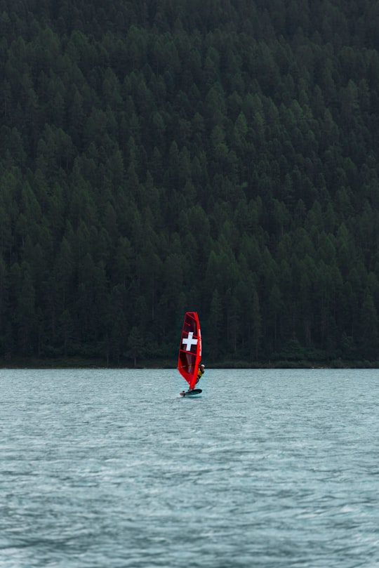
3 - Rafting in St Moritz
24 km away
As the name Engadin (in Rhaeto-Romance: Valley of the Inn) points out, this valley is home to the beautiful Inn river, which provides some of the best rafting in the Alps. Rafting and kayak enthusiasts from all over the world visit Graubünden to...
Book this experience
4 - Piz Corvatsch
Piz Corvatsch is a mountain in the Bernina Range of the Alps, overlooking Lake Sils and Lake Silvaplana in the Engadin region of the canton of Graubünden.
Learn more Book this experience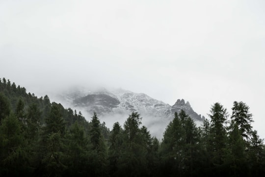

5 - Pontresina
Pontresina is a municipality in the Maloja Region in the canton of Graubünden in Switzerland.
Learn more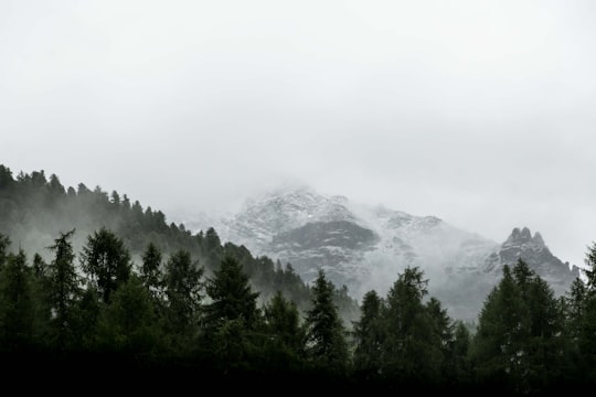
6 - Paragliding in St Moritz
8 km away
Boost your skiing confidence in St. Moritz, Engadin with a professional instructor. Join these private ski lessons for all ages and levels! There's no better way to explore your full potential in skiing than a good private lesson with a ce...
Book this experience
7 - Maloja Pass
6 km away
Maloja Pass is a high mountain pass in the Swiss Alps in the canton of Graubünden, linking the Engadine with the Val Bregaglia, still in Switzerland and Chiavenna in Italy. It marks the divide between the Danube and Po watersheds. Lägh da Bitabergh is near the pass. The road from Chiavenna to Silvaplana with distances and elevation: 0 km Chiavenna 333 m 10 km Castasegna 696 m 13 km Promontogno 802 m 16 km Stampa 994 m 18 km Borgonovo 1029 m 19 km Vicosoprano 1065 m 27 km Casaccia 1458 m 32 km Maloja Pass 1815 m 33 km Maloja 1809 m 40 km Sils im Engadin/Segl 1798 m 44 km Silvaplana 1802 m The Maloja Pass is open in winter.
Learn more Book this experience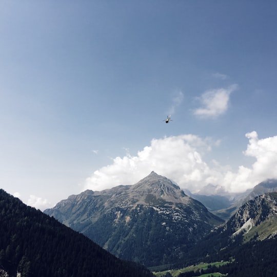

8 - Muottas Muragl
14 km away
Muottas Muragl is a location on the southern slopes of the Blais da Muottas, a summit at the western end of the range descending from Piz Vadret, in the Swiss canton of Graubünden. It overlooks the Engadin, between the towns of Samedan, St. Moritz and Pontresina. The mountain is within the municipality of Samedan.
Learn more Book this experience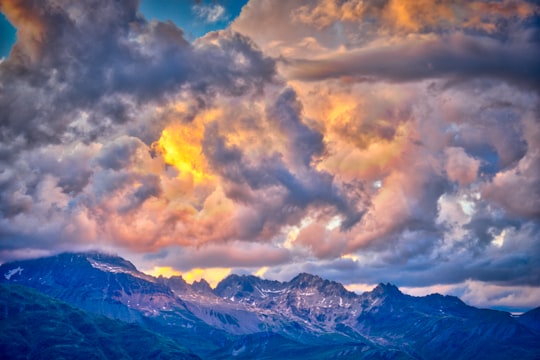
9 - Backcountry Skiing in St Moritz
8 km away
Are you looking for a new adventure in the snow? Join this amazing freeriding day tour in St. Moritz and feel the thrill of skiing off-piste! If you are an experienced skier planning your next trip to the gorgeous region of Engadin, you must try this...
Book this experience
10 - Albula Pass
18 km away
Albula Pass is a Swiss mountain pass in the canton of Graubünden. It lies in the Albula Alps, on the watershed between the Albula, tributary of the Rhine and the Ova d'Alvra, tributary of the Inn.
Learn more Book this experience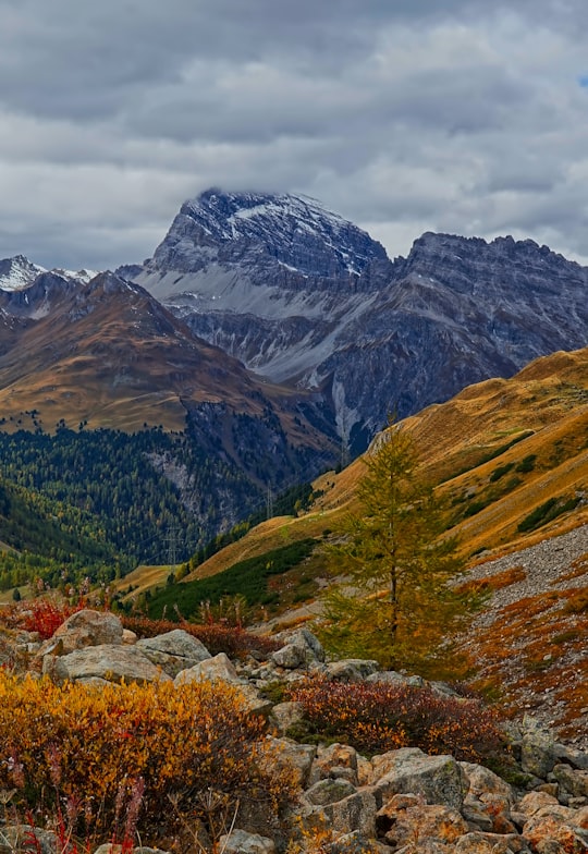
11 - Bernina Express
20 km away
The Bernina Express is a train connecting Chur in Switzerland to Poschiavo in Switzerland and Tirano in Italy by crossing the Swiss Engadin Alps.
View on Google Maps Book this experience
12 - Kitesurfing in St Moritz
Try out a group or private beginner course to learn the snow-kite basics, freedom, and fun, a new way to feel the mountain spirit! Snowkiting is easy to learn, you just need the basics of skiing or snowboarding. If you are a kitesurfer already, ...
Book this experience
13 - Madulain
22 km away
Madulain is a municipality in the Maloja Region in the Swiss canton of Graubünden.
Learn more
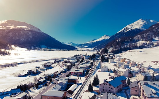
14 - Parc Ela
24 km away
Parc Ela is a nature park in the canton of Graubünden, Switzerland. It is intended to protect the regional biotope, help promote its sustainable use and give a boost to an area rich in scenery and national cultural assets, but weak economically.
Learn more Book this experience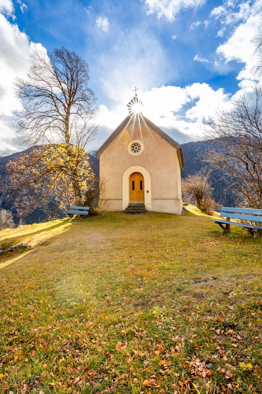
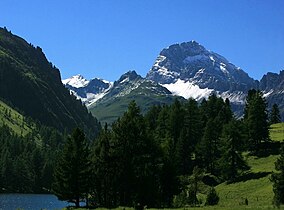
15 - Snowshoeing in St Moritz
Take a 3.5hrs snowshoe hike to the Motta da Blaunca and enjoy breathtaking views of Lake Sils and the surrounding area of St. Moritz! Snowshoe hiking in St. Moritz is an ideal way to enjoy the scenery of the Swiss Alps. Located in the heart of the Up...
Book this experience
16 - Grisons
29 km away
The canton of Grisons, or canton of Graubünden, is the largest and easternmost canton of Switzerland. It has international borders with Italy, Austria, and Liechtenstein.
Learn more
17 - Schmitten (Albula)
29 km away
Schmitten is a municipality in the Albula Region in the canton of Graubünden in Switzerland.
Learn more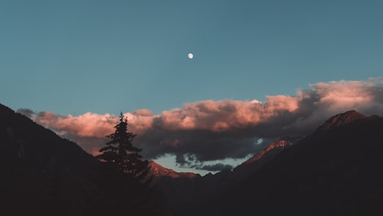
18 - Lenzerheide
37 km away
Lenzerheide is a mountain resort in the canton of Graubünden, Switzerland at the foot of the Parpaner Rothorn. The village lies in the municipality Vaz/Obervaz in the district of Albula, sub-district Alvaschein.
Learn more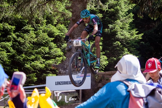
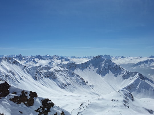
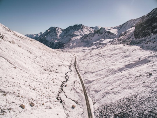
19 - Flüela Pass
38 km away
Flüela Pass is a high mountain pass in the Swiss Alps in the canton of Graubünden. The road connects Davos and Susch in the lower Engadin valley. Since the Vereina Tunnel opened in 1999, the road is no longer guaranteed to be open all year. An NGO, Pro Flüela Verein, was established in 1990 to extend the opening outside the summer months. It raises money from membership fees, and grants from the cantonal government and local communes
Learn more Book this experience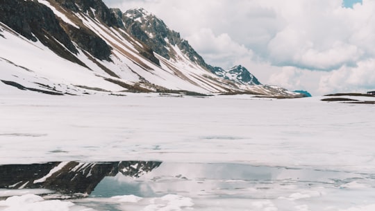
20 - Zernez
39 km away
Zernez is a village and a municipality in the Engiadina Bassa/Val Müstair Region in the Swiss canton of Graubünden. On 1 January 2015 the former municipalities of Lavin and Susch merged into the municipality of Zernez.
Learn more
Disover the best Instagram Spots around Sils Maria here
Book Tours and Activities in Sils Maria
Discover the best tours and activities around Sils Maria, Switzerland and book your travel experience today with our booking partners
Pictures and Stories of Sils Maria from Influencers
Picture from maxxup who have traveled to Sils Maria
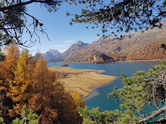
- Indian Summer in Sils Maria Engadin Switzerland ...click to read more
- Experienced by @maxxup | ©Unsplash
Plan your trip in Sils Maria with AI 🤖 🗺
Roadtrips.ai is a AI powered trip planner that you can use to generate a customized trip itinerary for any destination in Switzerland in just one clickJust write your activities preferences, budget and number of days travelling and our artificial intelligence will do the rest for you
👉 Use the AI Trip Planner
Why should you visit Sils Maria ?
Travel to Sils Maria if you like:
🌲 Nature reserveHow to visit Sils Maria ?
Why Travel to Sils Maria, Switzerland?
Sils Maria is a picturesque village nestled in the Upper Engadine Valley, renowned for its beautiful landscapes, crystal-clear lakes and pristine alpine air. It offers a perfect getaway for nature lovers, hikers, and cultural enthusiasts, as well as those seeking peace and tranquility. The village is also famous for being the place where German philosopher Friedrich Nietzsche spent his summers and conceived some of his most important works.
How to Get There
The nearest airport to Sils Maria is Zurich International Airport (ZRH). From there, you can take a train to Chur, then transfer to the Rhaetian Railway to reach St. Moritz. Sils Maria is just 10 km from St. Moritz, and you can easily access it via a 30-minute bus ride or a taxi.
What to Book in Advance
To make the most out of your stay in Sils Maria, it's recommended to book your accommodation, guided tours, and any special activities in advance. If you plan to visit during the peak summer or winter seasons, booking early is essential, as hotels and activities can fill up quickly.
What Are the Costs?
Sils Maria is an upscale destination, so be prepared for higher prices. Accommodations can range from 150 CHF to 500 CHF per night, depending on the type of hotel and season. Dining in local restaurants can cost around 40-60 CHF per person, while a more budget-friendly option would be eating at cafes or self-catering. Public transportation is reliable and affordable, with a day pass for local buses and trains costing around 30 CHF.
Best Things to Do
1. Hiking: Explore the stunning landscapes by hiking the numerous trails in the region, such as the Nietzsche Trail.
2. Lake Sils: Enjoy a leisurely boat ride on Lake Sils or rent a kayak to explore the lake's hidden corners.
3. Nietzsche-Haus: Visit the house where Nietzsche spent his summers, now converted into a museum showcasing his life and work.
4. Engadine Valley: Explore the beautiful surroundings of the valley by biking, horseback riding, or taking a scenic train journey.
Where to Eat
1. La Chüdera: A cozy restaurant offering traditional Swiss and Engadine dishes, using locally sourced ingredients.
2. Restaurant Alpenrose: A charming dining spot with a diverse menu of local and international cuisine, perfect for a romantic dinner.
3. Pensiun Crasta: A family-run eatery known for its delicious homemade cakes and regional specialties.
Where to Stay
1. Hotel Waldhaus Sils: A luxurious 5-star hotel with elegant rooms, spa facilities, and a renowned restaurant.
2. Hotel Post: A historic 4-star hotel in the heart of the village, offering comfortable accommodations and warm hospitality.
3. Pension Chesa Pool: A budget-friendly guesthouse with cozy rooms and a friendly atmosphere.
Off the Beaten Path
For an unusual travel experience in Sils Maria, consider exploring the mystical world of the Swiss stone pine forest, known as Acla da Fans. This ancient forest is home to trees that are over 700 years old, and the atmosphere here is truly enchanting. A leisurely hike through the forest will take you to a hidden gem - a small, secluded lake surrounded by the majestic trees, offering a sense of tranquility and solitude that's hard to find elsewhere.
Where to Stay in Sils Maria
Discover the best hotels around Sils Maria, Switzerland and book your stay today with our booking partner booking.com
More Travel spots to explore around Sils Maria
Click on the pictures to learn more about the places and to get directions
Discover more travel spots to explore around Sils Maria
🌲 Nature reserve spotsTravel map of Sils Maria
Explore popular touristic places around Sils Maria
Download On Google Maps 🗺️📲