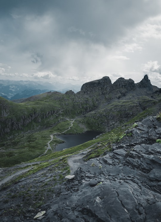
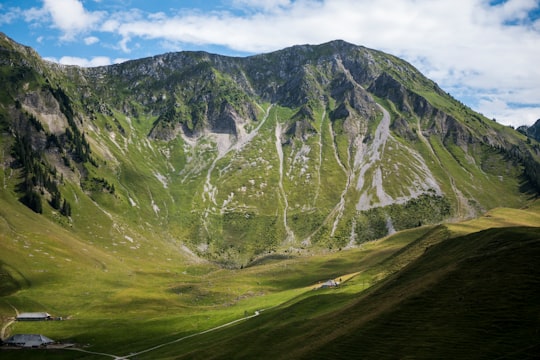
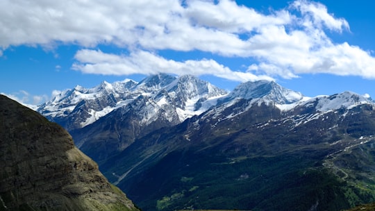
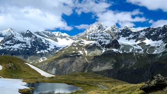
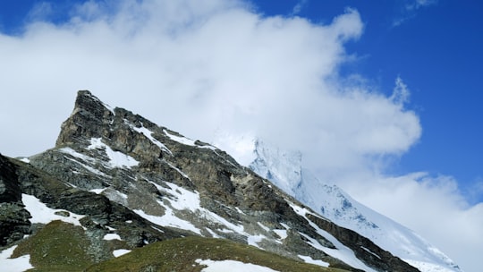
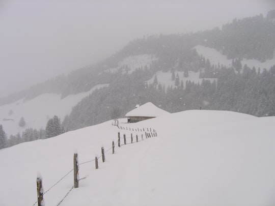
6 pictures of Schwarzsee from Nadot Yannick, Dave Ruck, elia kilcher and other travelers
Jaun is a municipality in the district of Gruyère in the canton of Fribourg in Switzerland. It is the only German-speaking municipality in Gruyère.
Learn more 13 km away
The Dent du Chamois is a mountain of the Swiss Prealps, located east of Gruyères in the canton of Fribourg. It lies on the range north of the Vanil Noir, between the valleys of the Sarine and the Motélon.
Learn more Book this experience 9 km away
Experience a tandem paragliding flight over Charmey and discover the stunning scenery of the Gruyère Region with the lake of Gruyère and green hills beneath your feet! Discover paragliding in the Gruyère Region, Switzerland, with...
Learn more 15 km away
Gurnigel Pass is a high mountain pass in the canton of Bern in Switzerland. It connects Riggisberg and Zollhaus. The culminating point of the road lies on the eastern flank of the Selibüel. The pass is the venue for an annual cross-country skiing race.
Learn more Book this experience 18 km away
Gruyères is a town in the district of Gruyère in the canton of Fribourg in Switzerland. The medieval town is an important tourist location in the upper valley of the Saane/Sarine river, and gives its name to Gruyère cheese.
Learn more 15 km away
Located near Zermatt, Switzerland, the Breithorn is a five peak, glaciated mountain ridge that offers beginners the possibility of climbing up its main summit, the Klein Matterhorn. To begin your Swiss alpine adventure, after meeting your guide at th...
Learn more 20 km away
Fribourg or Freiburg is the capital of the Swiss canton of Fribourg and the district La Sarine. It is located on both sides of the river Saane/Sarine, on the Swiss Plateau, and is a major economic, administrative and educational center on the cultural border between German and French Switzerland.
Learn more 22 km away
Rüeggisberg is a municipality in the Bern-Mittelland administrative district in the canton of Bern in Switzerland.
Learn more 16 km away
Spice up your stay in the Gruyère Region and go for this thrilling tandem skydive jump! You meet your experienced instructor at the drop zone in Gruyères where you will first get an exhaustive safety briefing. Then it's time to board th...
Learn more 22 km away
Learn more
26 km away
Lac de Lessoc is a reservoir on the Saane/Sarine river between Lessoc and Montbovon in the Canton of Fribourg, Switzerland. The lake's surface area is 20 ha. The Lessoc dam with a height of 33 m was completed in 1976.
Learn more Book this experience 28 km away
Adelboden is a mountain village and a municipality in Switzerland, located in the Frutigen-Niedersimmental administrative district in the Bernese Highlands.
Learn more 28 km away
The Niesen is a mountain peak of the Bernese Alps in the Canton of Bern, Switzerland. The summit of the mountain is 2,362 metres in elevation.
Learn more Book this experience 29 km away
Thun is a town and a municipality in the administrative district of Thun in the canton of Bern in Switzerland. It is located where the Aare flows out of Lake Thun, 30 kilometres southeast of Bern.
Learn more 31 km away
The Bunderspitz is a mountain of the Bernese Alps, located between Adelboden and Kandersteg in the canton of Bern. The summit can be reached by a trail from both sides.
Learn more Book this experience 31 km away
Learn more
34 km away
Lake Thun is an Alpine lake in the Bernese Oberland in Switzerland named after the city of Thun, on its northern shore. The lake was created after the last glacial period.
Learn more Book this experience 36 km away
Bern or Berne is the de facto capital of Switzerland, referred to by the Swiss as their "federal city", in German Bundesstadt, French ville fédérale, and Italian città federale.
Learn more 36 km away
Veytaux is a municipality in the district of Riviera-Pays-d'Enhaut in the canton of Vaud in Switzerland. The Chateau of Chillon provides a view of the entire Lake of Geneva located in Avenue de Chillon.
Learn more 38 km away
Oeschinen Lake is a lake in the Bernese Oberland, Switzerland, 4 kilometres east of Kandersteg in the Oeschinen valley. At an elevation of 1,578 metres, it has a surface area of 1.1147 square kilometres. Its maximum depth is 56 metres.
Learn more Book this experience 38 km away
The Sigriswiler Rothorn is a mountain of the Emmental Alps, located north of Sigriswil in the canton of Bern. With an elevation of 2,051 metres above sea level, it is the culminating point of the chain named Sigriswilergrat.
Learn more Book this experience 39 km away
The Altels is a mountain of the Bernese Alps, located on the border between the Swiss cantons of Bern and Valais. It is situated in the Balmhorn massif, approximately halfway between Kandersteg and Leukerbad.
Learn more Book this experience 40 km away
Leysin is a municipality of the canton of Vaud in the Aigle district of Switzerland. It is first mentioned around 1231–32 as Leissins, in 1352 as Leisins.
Learn moreDiscover the best tours and activities around Schwarzsee, Switzerland and book your travel experience today with our booking partners
Discover the best hotels around Schwarzsee, Switzerland and book your stay today with our booking partner booking.com
Click on the pictures to learn more about the places and to get directions
Discover more travel spots to explore around Schwarzsee
⛰️ Hill station spots ❄️ Glacial lake spots ❄️ Glacial landform spots ⛰️ Mountain range spotsExplore popular touristic places around Schwarzsee
Download On Google Maps 🗺️📲