Travel Guide of Riederalp in Switzerland by Influencers and Travelers
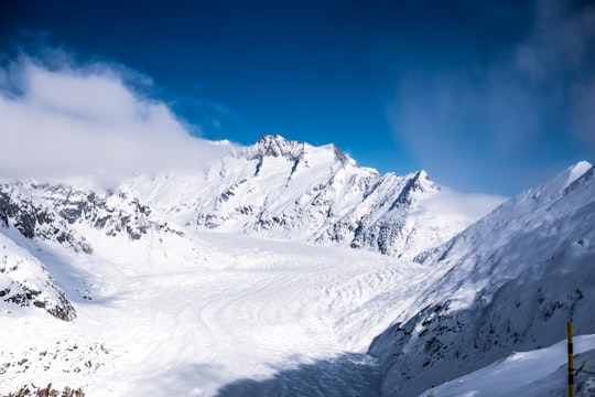
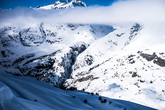
Riederalp is a municipality in the district of Raron in the canton of Valais in Switzerland. It was created in 2003 through the merger of Goppisberg, Greich and Ried-Mörel.
Download the Travel Map of Switzerland on Google Maps here
The Best Things to Do and Visit in Riederalp
TRAVELERS TOP 10 :
- Aletsch Glacier
- Bettmerhorn
- Paragliding in Brig
- Belalp
- Lax
- Snowkiting in Brig
- Bellwald
- Jungfrau
- Rafting in Zermatt
- Berner Oberland
1 - Aletsch Glacier
7 km away
The Aletsch Glacier or Great Aletsch Glacier is the largest glacier in the Alps. It has a length of about 23 km, has about a volume of 15.4 km³, and covers about 81.7 km² in the eastern Bernese Alps in the Swiss canton of Valais.
Learn more Book this experience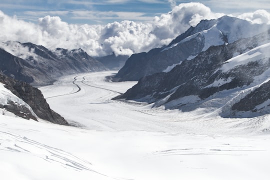

2 - Bettmerhorn
6 km away
The Bettmerhorn is a mountain of the Bernese Alps, located north of Bettmeralp in the Swiss canton of Valais. The summit can be reached with a 30-minute vertical hike after ascending most of the mountain by cable car from the car free village of Bettmeralp.
Learn more Book this experience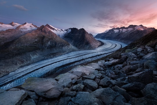
3 - Paragliding in Brig
9 km away
Embark on an epic paragliding adventure in the majestic Swiss Alps: join this tandem paragliding flight over the Aletsch Glacier, near Bring! The Aletsch Glacier, a UNESCO site, will leave you speechless. Stretching over 23 kilometers, located betwee...
Book this experience
4 - Belalp
Belalp is a village and ski resort in the Swiss canton of Valais, situated at approximately 2,100 metres above sea level in the municipality of Naters.
Learn more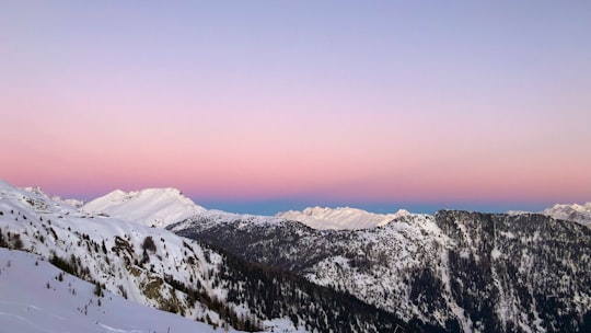
5 - Lax
7 km away
Lax is a municipality in the district of Goms in the canton of Valais in Switzerland.
Learn more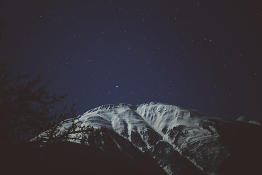
6 - Snowkiting in Brig
14 km away
Transition from the water to the snow and learn how to snowkite in the Simplon Pass, a world-renowned snowkiter's paradise! Get high on adrenaline and say goodbye to the pure powder beneath as you fly with the wind. These courses are designed f...
Book this experience
7 - Bellwald
12 km away
Bellwald is a municipality in the district of Goms in the canton of Valais in Switzerland.
Learn more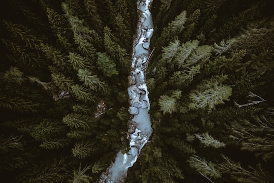
8 - Jungfrau
18 km away
The Jungfrau, at 4,158 meters is one of the main summits of the Bernese Alps, located between the northern canton of Bern and the southern canton of Valais, halfway between Interlaken and Fiesch.
Learn more Book this experience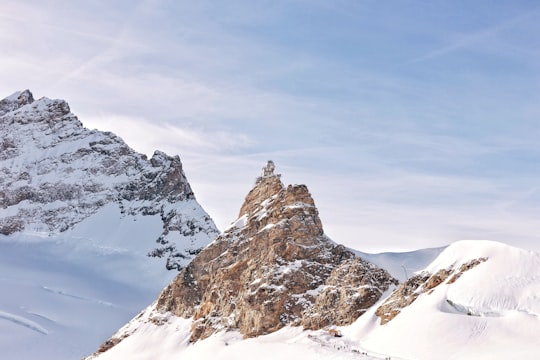
9 - Rafting in Zermatt
15 km away
This thrilling whitewater rafting trip takes you through the valley leading to Zermatt and the 4,478 meters high Matterhorn, one of the most iconic mountains of the alpine region. Against this spectacular backdrop, discover the broad variety of ...
Book this experience
10 - Berner Oberland
18 km away
Learn more
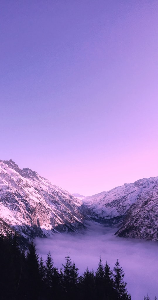
11 - Gimmelwald
21 km away
Gimmelwald is a small traffic free village in the Bernese Oberland in the Canton of Bern, Switzerland, and is located between Stechelberg and Mürren, at an elevation of 1363 meters.
Learn more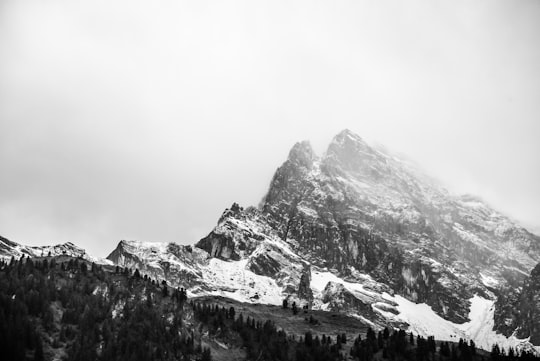
12 - Hang gliding in Brig
7 km away
Hang glide through the Swiss mountains while catching incredible views of the Aletsch glacier and surrounding nature starting from Brig. Hang gliding is the closest feeling one can get to flying like a bird. What better way to enjoy th...
Book this experience
13 - Mürren
23 km away
Mürren is a traditional Walser mountain village in the Bernese Highlands of Switzerland, at an elevation of 1,638 metres above sea level and it cannot be reached by public road.
Learn more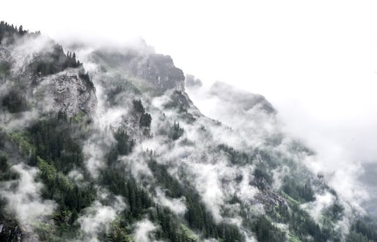
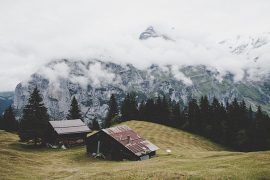
14 - Staubbach Falls
25 km away
The Staubbach Fall is a waterfall in Switzerland, located just west above Lauterbrunnen in the Bernese Highlands. The waterfall drops 297 metres from a hanging valley that ends in overhanging cliffs above the Weisse Lütschine.
Learn more Book this experience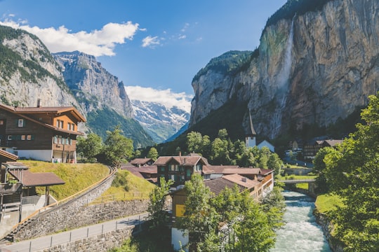

15 - Canyoning in Brig
22 km away
Spend a day in nature's adventure playground, canyoning in the Gondo River, near the Italian border in Switzerland!Nestled between high mountains, at nearly 2000 metres above sea level and right next to the Swiss-Italian border, the Gondo River...
Book this experience
16 - Oeschinen Lake
27 km away
Oeschinen Lake is a lake in the Bernese Oberland, Switzerland, 4 kilometres east of Kandersteg in the Oeschinen valley. At an elevation of 1,578 metres, it has a surface area of 1.1147 square kilometres. Its maximum depth is 56 metres.
Learn more Book this experience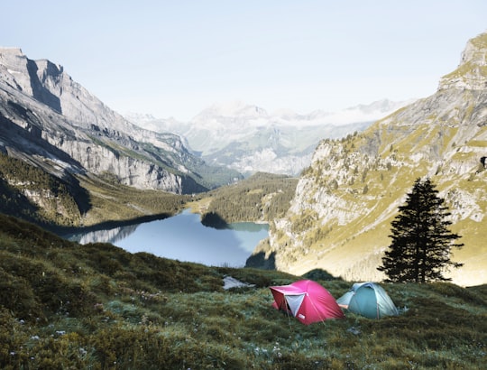
17 - Grimsel Pass
32 km away
The Grimsel Pass is a mountain pass in Switzerland, crossing the Bernese Alps at an elevation of 2,164 metres. The pass connects the Haslital, the upper valley of the river Aare, with the upper valley of the Rhône.
Learn more Book this experience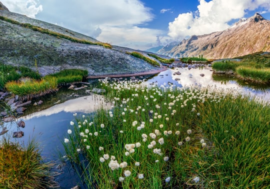
18 - Bachalpsee
33 km away
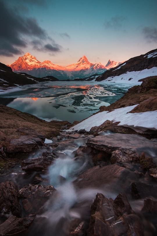
Bachalpsee or Bachsee is a lake with an area of 8.06 ha close to the First above Grindelwald in the Bernese Oberland, Switzerland. The lake, located at an elevation of 2,265 m, is split by a natural dam, the smaller part of the lake being 6 m lower. The lake is featured in Gmail as part of its mountain theme background.
Learn more Book this experience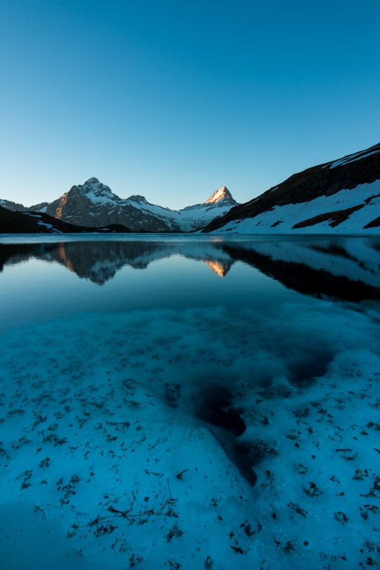
19 - Bunderspitz
34 km away
The Bunderspitz is a mountain of the Bernese Alps, located between Adelboden and Kandersteg in the canton of Bern. The summit can be reached by a trail from both sides.
Learn more Book this experience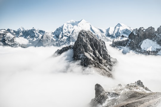

Disover the best Instagram Spots around Riederalp here
Book Tours and Activities in Riederalp
Discover the best tours and activities around Riederalp, Switzerland and book your travel experience today with our booking partners
Pictures and Stories of Riederalp from Influencers
2 pictures of Riederalp from Noah Näf, , and other travelers
Plan your trip in Riederalp with AI 🤖 🗺
Roadtrips.ai is a AI powered trip planner that you can use to generate a customized trip itinerary for any destination in Switzerland in just one clickJust write your activities preferences, budget and number of days travelling and our artificial intelligence will do the rest for you
👉 Use the AI Trip Planner
Why should you visit Riederalp ?
Travel to Riederalp if you like:
❄️ Glacial landformWhere to Stay in Riederalp
Discover the best hotels around Riederalp, Switzerland and book your stay today with our booking partner booking.com
More Travel spots to explore around Riederalp
Click on the pictures to learn more about the places and to get directions
Discover more travel spots to explore around Riederalp
❄️ Glacial landform spots ️🏜️ Badlands spotsTravel map of Riederalp
Explore popular touristic places around Riederalp
Download On Google Maps 🗺️📲
