Travel Guide of Melchsee-Frutt in Switzerland by Influencers and Travelers
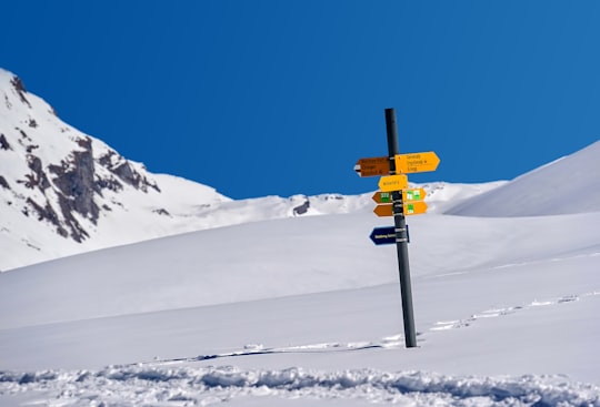
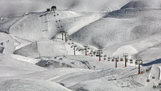
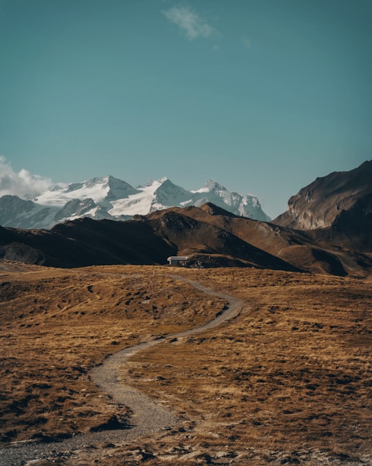
Melchsee-Frutt is a mountain resort village in Switzerland. It is located near the lake Melchsee, in the municipality of Kerns, canton Obwalden.
Download the Travel Map of Switzerland on Google Maps here
The Best Things to Do and Visit in Melchsee-Frutt
TRAVELERS TOP 10 :
- Lake Lungern
- Trübsee
- Paragliding in Engelberg
- Titlis
- Stanserhorn
- Canyoning in Lucerne
- Bachalpsee
- Mount Pilatus
- Rhône Glacier
- Lake Brienz
1 - Lake Lungern
10 km away
Lake Lungern is a natural lake in Obwalden, Switzerland which is named after the town Lungern on its shore. The lake is drained by the Sarner Aa river, which flows through the Sarnersee and into Lake Lucerne.
Learn more Book this experience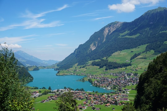

2 - Trübsee
9 km away
Trübsee is an intermediate cable car station by the Titlis Bergbahnen, Trüebsee is an Alpine lake on the Ober Trüebsee Alpine pasture in the upper part of the extensive municipality of Wolfenschiessen in the Swiss canton of Nidwalden.
Learn more Book this experience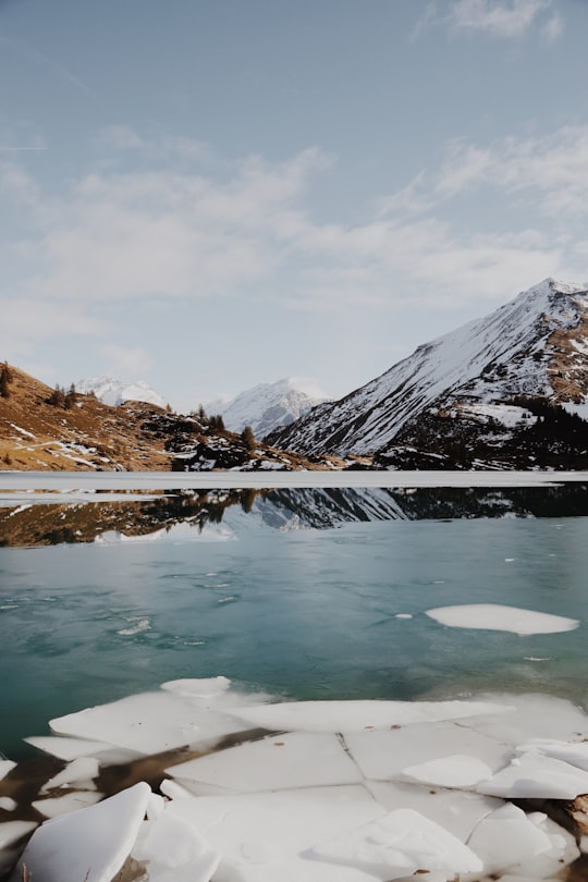
3 - Paragliding in Engelberg
13 km away
Paragliding is the most simple, direct and beautiful way to fly. You get to play with gravity, nature and its elements with almost unbelievable simplicity. Fly over the spectacular Mt. Titlis Glacier in Engelberg at an altitude of 1.860 met...
Book this experience
4 - Titlis
13 km away
Titlis is a mountain of the Uri Alps, located on the border between the cantons of Obwalden and Bern. At 3,238 metres above sea level, it is the highest summit of the range north of the Susten Pass, between the Bernese Oberland and Central Switzerland.
Learn more Book this experience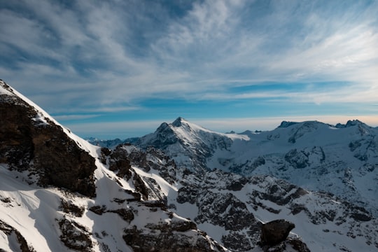

5 - Stanserhorn
18 km away
The Stanserhorn is a mountain in Switzerland, located in the canton of Nidwalden near to the border with Obwalden, with the peak at 1,898 metres above sea level.
Learn more Book this experience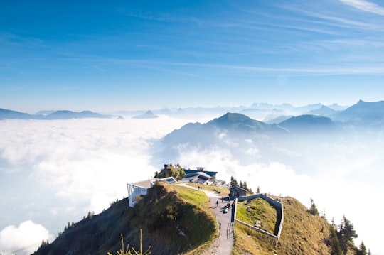
6 - Canyoning in Lucerne
19 km away
Just 20 minutes from Lucerne and 30 minutes from Engelberg, you'll find yourself in a breathtaking mountainous landscape. Explore off the beaten tracks and discover the beautiful Chli Schliere Canyon, its amazing rock formations and its stunning...
Book this experience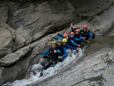
7 - Bachalpsee
22 km away
Bachalpsee or Bachsee is a lake with an area of 8.06 ha close to the First above Grindelwald in the Bernese Oberland, Switzerland. The lake, located at an elevation of 2,265 m, is split by a natural dam, the smaller part of the lake being 6 m lower. The lake is featured in Gmail as part of its mountain theme background.
Learn more Book this experience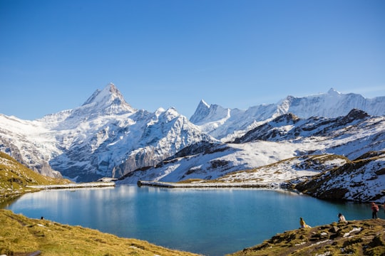

8 - Mount Pilatus
22 km away
Pilatus, also often referred to as Mount Pilatus, is a mountain massif overlooking Lucerne in Central Switzerland. It is composed of several peaks, of which the highest is named Tomlishorn.
Learn more Book this experience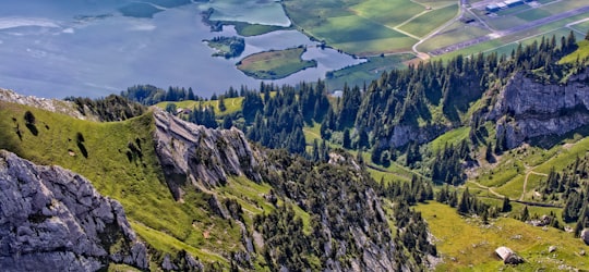

9 - Rhône Glacier
24 km away
The Rhône Glacier is a glacier in the Swiss Alps and the source of the river Rhône and one of the primary contributors to Lake Geneva in the far eastern end of the Swiss canton of Valais.
Learn more Book this experience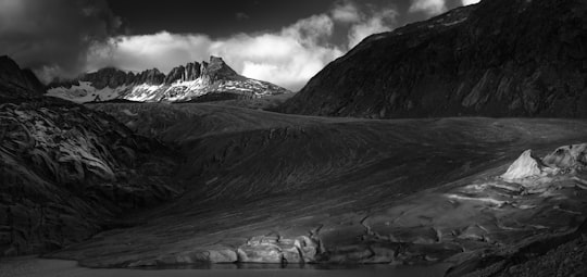

10 - Lake Brienz
24 km away
Lake Brienz is a lake just north of the Alps, in the canton of Berne in Switzerland. It has a length of about 14 kilometres, a width of 2.8 kilometres and a maximum depth of 260 metres.
Learn more Book this experience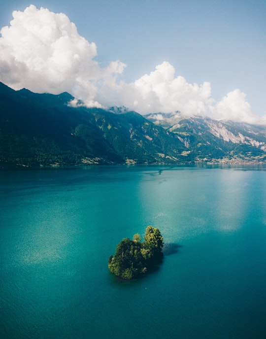
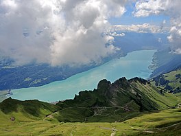
11 - Grimsel Pass
24 km away
The Grimsel Pass is a mountain pass in Switzerland, crossing the Bernese Alps at an elevation of 2,164 metres. The pass connects the Haslital, the upper valley of the river Aare, with the upper valley of the Rhône.
Learn more Book this experience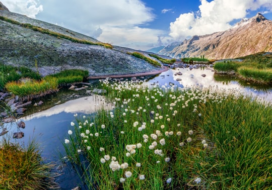
12 - Furka Pass
25 km away
Furka Pass, with an elevation of 2,429 metres, is a high mountain pass in the Swiss Alps connecting Gletsch, Valais with Realp, Uri. The Furka Oberalp Bahn line through the Furka Tunnel bypasses the pass. The base tunnel opened in 1982 and replaced a tunnel at 2100 m. The Furka Pass was used as a location in the James Bond film Goldfinger. One curve on the east side of the pass is even named "James Bond Strasse". At the sign, there is a lookout point with a small parking area.
Learn more Book this experience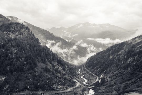
13 - Sidelhorn
25 km away
The Sidelhorn is a mountain of the Bernese Alps, located west of the Grimsel Pass. It lies at the eastern end of the mountain chain between the Unteraar Glacier and the Rhone valley, named Aargrat.
Learn more Book this experience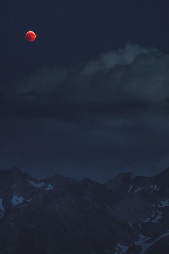
14 - Augstmatthorn
26 km away
The Augstmatthorn is a mountain of the Emmental Alps, overlooking Lake Brienz in the Bernese Oberland. The largely forested land from the top of the mountain southwards to the lake has been identified by BirdLife International as a 15,900 ha Important Bird Area.
Learn more Book this experience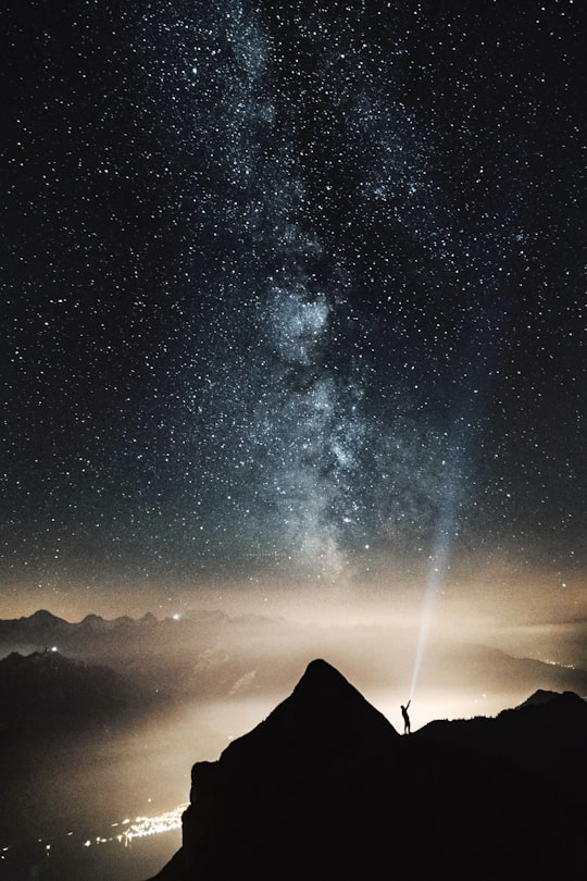
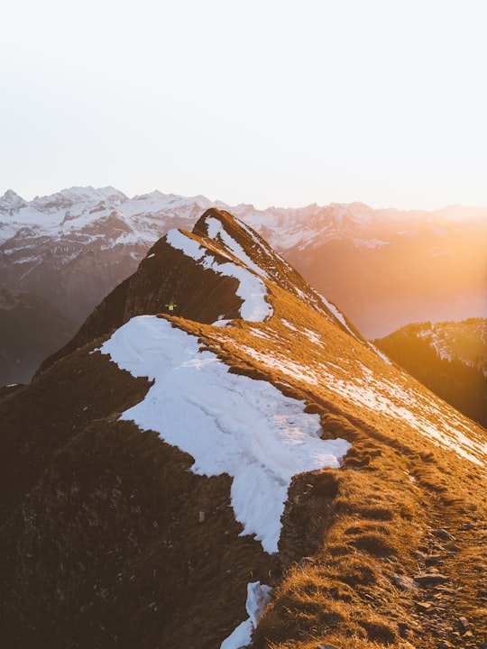
Disover the best Instagram Spots around Melchsee-Frutt here
Book Tours and Activities in Melchsee-Frutt
Discover the best tours and activities around Melchsee-Frutt, Switzerland and book your travel experience today with our booking partners
Pictures and Stories of Melchsee-Frutt from Influencers
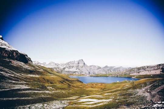
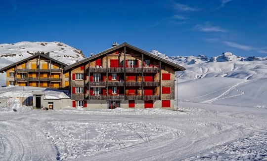
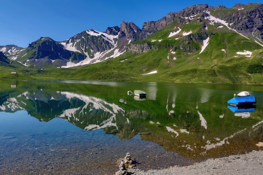
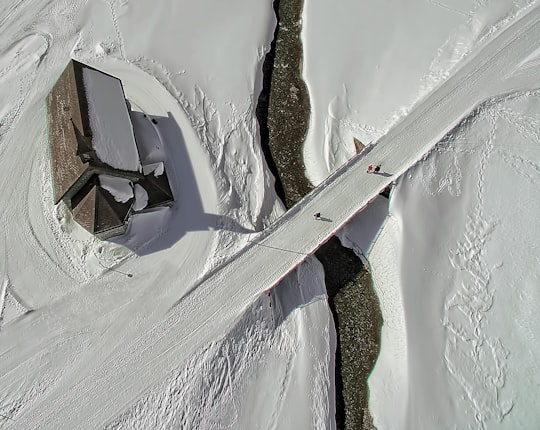
10 pictures of Melchsee-Frutt from Ricardo Gomez Angel, Markus Spiske, Pascal Lottenbach and other travelers

- Wonderful spring in the Alps ...click to read more
- Experienced by @Ricardo Gomez Angel | ©Unsplash
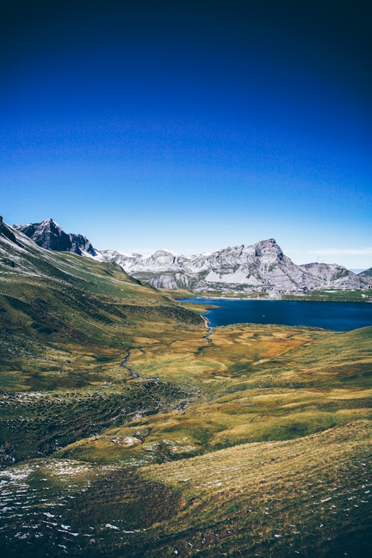
- Kanton Obwalden, Gemeinde Kerns, Zentralschweiz ...click to read more
- Experienced by @Markus Spiske | ©Unsplash
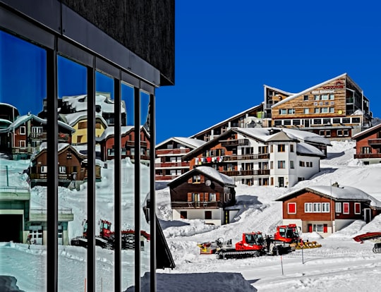
- Buildings reflection 0398 ...click to read more
- Experienced by @Ricardo Gomez Angel | ©Unsplash
Plan your trip in Melchsee-Frutt with AI 🤖 🗺
Roadtrips.ai is a AI powered trip planner that you can use to generate a customized trip itinerary for any destination in Switzerland in just one clickJust write your activities preferences, budget and number of days travelling and our artificial intelligence will do the rest for you
👉 Use the AI Trip Planner
Why should you visit Melchsee-Frutt ?
Travel to Melchsee-Frutt if you like:
⛰️ Hill station ⛰️ Mountain range 🏘️ Town ❄️ Ski resort ⛰️ Highland ❄️ Glacial lakeLearn More about Melchsee-Frutt
Melchsee-Frutt is a municipality in the canton of Obwalden in Switzerland.
There are a few things to keep in mind when traveling to Melchsee-Frutt:
-The best time to visit is during the summer months, when the weather is warmer and the days are longer.
-If you're planning on hiking, make sure to bring plenty of water and snacks, as there are no convenience stores in the area.
-There is a small entrance fee to enter the park, so be sure to bring some cash.
-Finally, since Melchsee-Frutt is located in a mountainous area, be prepared for some cold nights, even during the summer.
Some popular activities in the area include hiking, mountain biking, skiing, and snowboarding.
Where to Stay in Melchsee-Frutt
Discover the best hotels around Melchsee-Frutt, Switzerland and book your stay today with our booking partner booking.com
More Travel spots to explore around Melchsee-Frutt
Click on the pictures to learn more about the places and to get directions
Discover more travel spots to explore around Melchsee-Frutt
❄️ Ski resort spots ❄️ Glacial lake spots ⛰️ Highland spots ⛰️ Hill spots ⛰️ Hill station spots ⛰️ Mountain range spots Panorama spots 🏕️ Camping spots 🏘️ Town spotsTravel map of Melchsee-Frutt
Explore popular touristic places around Melchsee-Frutt
Download On Google Maps 🗺️📲
