Travel Guide of Airolo in Switzerland by Influencers and Travelers
Airolo is a municipality in the district of Leventina in the canton of Ticino in Switzerland.
Download the Travel Map of Switzerland on Google Maps here
The Best Things to Do and Visit in Airolo
TRAVELERS TOP 10 :
- Swiss Alps
- Gotthard Pass
- Furka Pass
- Grimsel Pass
- Griessee
- Nufenenpass
- Rhône Glacier
- Sidelhorn
- Susten Passhöhe
- Arnisee
1 - Swiss Alps
The Alpine region of Switzerland, conventionally referred to as the Swiss Alps, represents a major natural feature of the country and is, along with the Swiss Plateau and the Swiss portion of the Jura Mountains, one of its three main physiographic regions.
Learn more Book this experience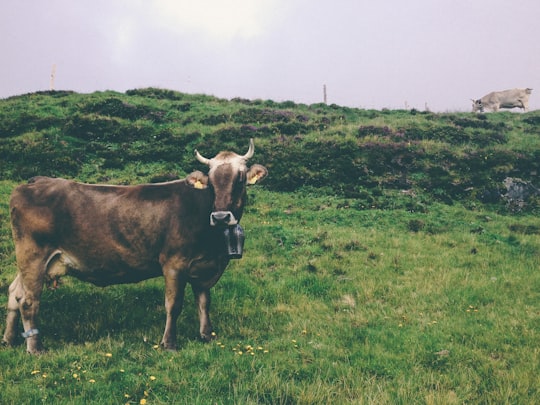

2 - Gotthard Pass
The Gotthard Pass or St. Gotthard Pass at 2,106 m is a mountain pass in the Alps traversing the Saint-Gotthard Massif and connecting northern Switzerland with southern Switzerland.
Learn more Book this experience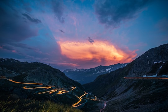
3 - Furka Pass
11 km away
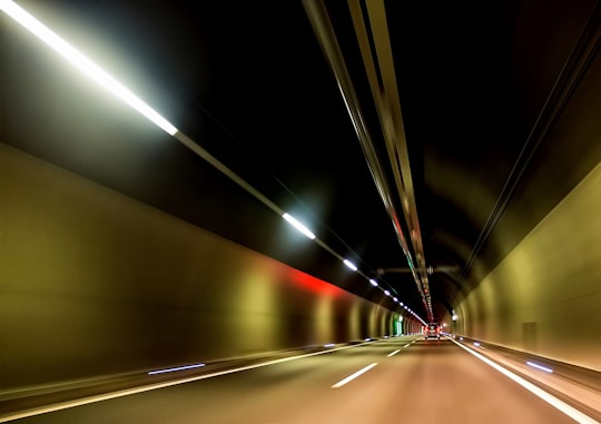
Furka Pass, with an elevation of 2,429 metres, is a high mountain pass in the Swiss Alps connecting Gletsch, Valais with Realp, Uri. The Furka Oberalp Bahn line through the Furka Tunnel bypasses the pass. The base tunnel opened in 1982 and replaced a tunnel at 2100 m. The Furka Pass was used as a location in the James Bond film Goldfinger. One curve on the east side of the pass is even named "James Bond Strasse". At the sign, there is a lookout point with a small parking area.
Learn more Book this experience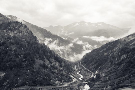
4 - Grimsel Pass
17 km away
The Grimsel Pass is a mountain pass in Switzerland, crossing the Bernese Alps at an elevation of 2,164 metres. The pass connects the Haslital, the upper valley of the river Aare, with the upper valley of the Rhône.
Learn more Book this experience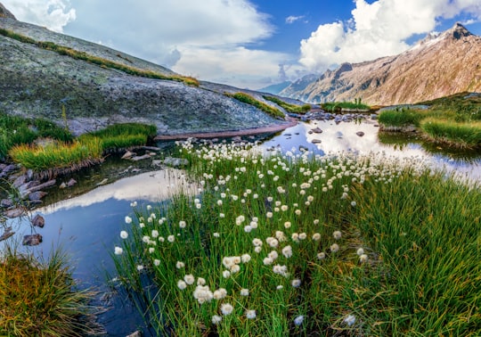
5 - Griessee
18 km away
Griessee is a lake in Valais, Switzerland. The reservoir is located in the municipality of Ulrichen and can be reached by road from Nufenen Pass. The lake is fed by the Gries Glacier. Its surface area is 55.5 ha. The gravity dam Gries was built in 1965.
Learn more Book this experience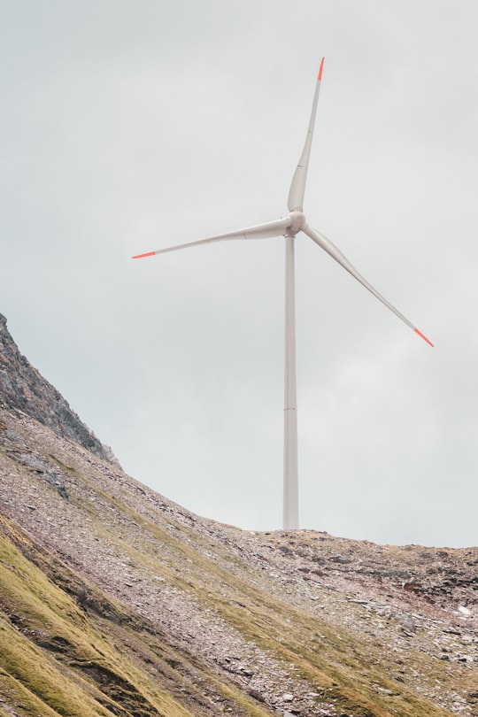
6 - Nufenenpass
18 km away
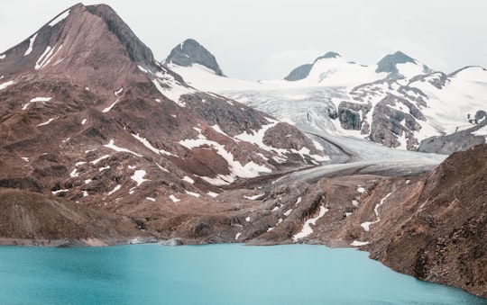
Nufenen Pass is the highest mountain pass with a paved road within Switzerland. It lies between the summits of Pizzo Gallina and the Nufenenstock.
Learn more Book this experience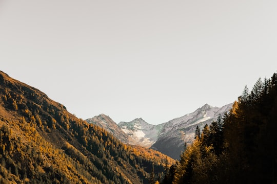
7 - Rhône Glacier
19 km away
The Rhône Glacier is a glacier in the Swiss Alps and the source of the river Rhône and one of the primary contributors to Lake Geneva in the far eastern end of the Swiss canton of Valais.
Learn more Book this experience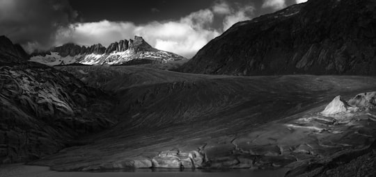

8 - Sidelhorn
19 km away
The Sidelhorn is a mountain of the Bernese Alps, located west of the Grimsel Pass. It lies at the eastern end of the mountain chain between the Unteraar Glacier and the Rhone valley, named Aargrat.
Learn more Book this experience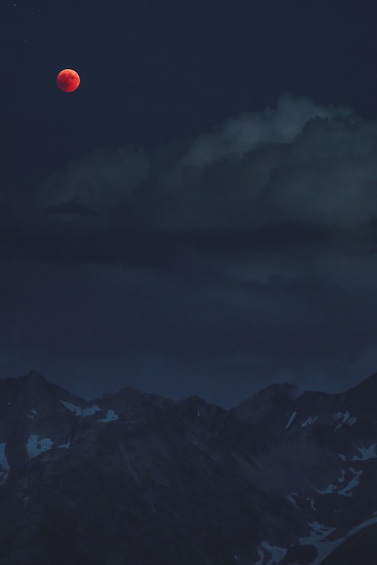
9 - Susten Passhöhe
21 km away
The Brünig Pass, at an altitude of 1,008 m, connects the Bernese Oberland and central Switzerland, linking Meiringen in the canton of Bern and Lungern in the canton of Obwalden.
Learn more Book this experience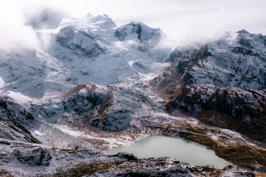
10 - Arnisee
24 km away
Arnisee is a reservoir in the Canton of Uri, Switzerland. It can be reached by gondola lift from Amsteg and Intschi.
Learn more Book this experience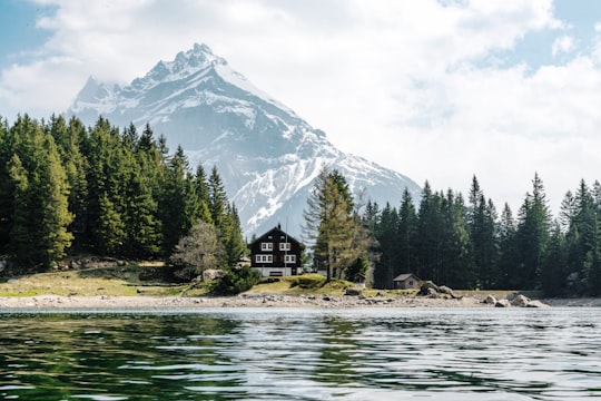
11 - Engelberg
29 km away
Engelberg is a village resort and a municipality in the canton of Obwalden in Switzerland. Besides the village of Engelberg, the municipality also includes the settlements of Grafenort, Oberberg and Schwand.
Learn more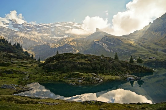
12 - Titlis
30 km away
Titlis is a mountain of the Uri Alps, located on the border between the cantons of Obwalden and Bern. At 3,238 metres above sea level, it is the highest summit of the range north of the Susten Pass, between the Bernese Oberland and Central Switzerland.
Learn more Book this experience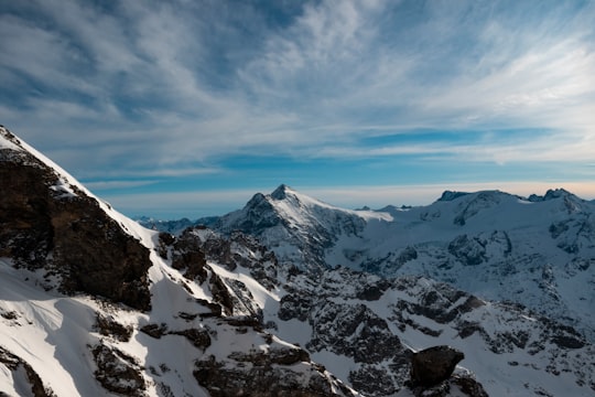

Disover the best Instagram Spots around Airolo here
Book Tours and Activities in Airolo
Discover the best tours and activities around Airolo, Switzerland and book your travel experience today with our booking partners
Plan your trip in Airolo with AI 🤖 🗺
Roadtrips.ai is a AI powered trip planner that you can use to generate a customized trip itinerary for any destination in Switzerland in just one clickJust write your activities preferences, budget and number of days travelling and our artificial intelligence will do the rest for you
👉 Use the AI Trip Planner
Where to Stay in Airolo
Discover the best hotels around Airolo, Switzerland and book your stay today with our booking partner booking.com
More Travel spots to explore around Airolo
Click on the pictures to learn more about the places and to get directions
Discover more travel spots to explore around Airolo
⛰️ Hill station spots ⛰️ Mountain spots 🌲 Nature reserve spots ❄️ Glacial landform spots ⛰️ Highland spots 🌲 Forest spots ⛰️ Mountain range spotsTravel map of Airolo
Explore popular touristic places around Airolo
Download On Google Maps 🗺️📲