Travel Guide of Matucana in Peru by Influencers and Travelers
Matucana is a town in Central Peru, capital of the province Huarochirí in the region Lima. It's located to the East of Lima at 2,378 m above sea level, along the Central Road at km 74.
The Best Things to Do and Visit in Matucana
TRAVELERS TOP 4 :
1 - Marcahuasi
21 km away
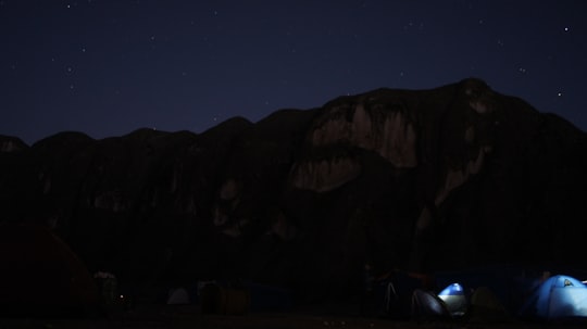
Marcahuasi is a plateau in the Andes Mountains, located 60 km east of Lima, on the mountain range that rises to the right bank of the Rímac River.
View on Google Maps Book this experience
2 - Marcahuasi - San Pedro de Casta
22 km away
San Pedro de Casta District is one of thirty-two districts of the province Huarochirí in Peru. The town of San Pedro de Casta is known for its proximity to Marcahuasi, and receives the majority of its attention from this tourist attraction.
Learn more

3 - Millpu
24 km away
Millpu is a mountain in the Andes of Peru, about 5,238 metres high. It is locatedin the Lima Region, Huarochiri Province, in the districts of Carampoma and Chicla. Millpu lies northeast of Wachwa and southeast of a lake named Wachwaqucha.
Learn more Book this experience
4 - Canta
49 km away
Canta is a town in the Lima Region, in western Peru. The town is located on the Chillón River and is the capital of the Canta Province. With a population of 2,385, it is also the capital of Canta District. It is frequently visited by tourists from Lima because of its quietness and the beauty of its natural landscapes. The town's altitude is 2,819 m above sea level.
Learn more
Disover the best Instagram Spots around Matucana here
Book Tours and Activities in Matucana
Discover the best tours and activities around Matucana, Peru and book your travel experience today with our booking partners
Pictures and Stories of Matucana from Influencers
Picture from Aire Joseph who have traveled to Matucana

- Go ahead, achieve your dreams! ...click to read more
- Experienced by @Aire Joseph | ©Unsplash
Plan your trip in Matucana with AI 🤖 🗺
Roadtrips.ai is a AI powered trip planner that you can use to generate a customized trip itinerary for any destination in Peru in just one clickJust write your activities preferences, budget and number of days travelling and our artificial intelligence will do the rest for you
👉 Use the AI Trip Planner
Why should you visit Matucana ?
Travel to Matucana if you like:
🌉 BridgeWhere to Stay in Matucana
Discover the best hotels around Matucana, Peru and book your stay today with our booking partner booking.com
More Travel spots to explore around Matucana
Click on the pictures to learn more about the places and to get directions
Discover more travel spots to explore around Matucana
🌉 Bridge spotsTravel map of Matucana
Explore popular touristic places around Matucana