Travel Guide of Valdresflye in Norway by Influencers and Travelers
Valdresflye, also spelled Valdresflya and Valdresflyi, is a mountain plateau in the easternmost part of Jotunheimen in Øystre Slidre, Norway. The summer-only County Road 51 runs over the plateau, reaching 1,389 meters above mean sea level.
Download the Travel Map of Norway on Google Maps here
Pictures and Stories of Valdresflye from Influencers
Picture from Thomas Bjornstad who have traveled to Valdresflye
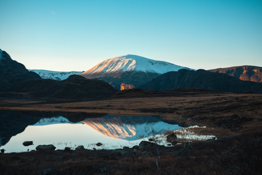
- When you travel througha country with this nature , you end up taking the scenic rute. ...click to read more
- Experienced by @Thomas Bjornstad | ©Unsplash
Plan your trip in Valdresflye with AI 🤖 🗺
Roadtrips.ai is a AI powered trip planner that you can use to generate a customized trip itinerary for any destination in Norway in just one clickJust write your activities preferences, budget and number of days travelling and our artificial intelligence will do the rest for you
👉 Use the AI Trip Planner
The Best Things to Do and Visit around Valdresflye
Disover the best Instagram Spots around Valdresflye here
1 - Jotunheimen
Jotunheimen is a mountainous area of roughly 3,500 km² in southern Norway and is part of the long range known as the Scandinavian Mountains. The 29 highest mountains in Norway are all in Jotunheimen, including the very highest – Galdhøpiggen. Jotunheimen straddles the border between the counties of Innlandet and Vestland.
Learn more Book this experience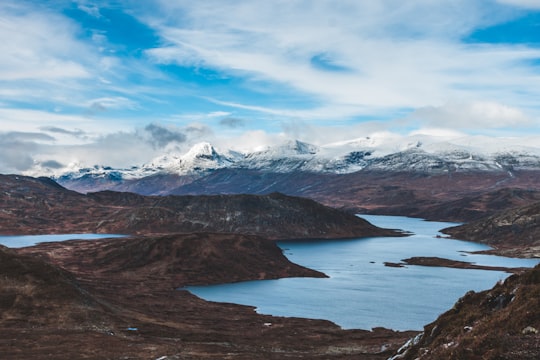
2 - Bitihorn
11 km away
Bitihorn is a mountain on the border of Vang Municipality and Øystre Slidre Municipality in Innlandet county, Norway. The 1,608-metre tall mountain is located in the Jotunheimen mountains about 7 kilometres northwest of the village of Beitostølen.
View on Google Maps Book this experience
3 - Hiking in Beitostølen
16 km away
Embark upon an adventure to remember in the scenic Jotunheimen National Park on this full-day boat tour and hiking excursion from Beitostølen! Welcoming explorers ages 12 and up. The mountainous and picturesque region of Jotunheimen is part of...
Learn more
4 - Besseggen
13 km away
Besseggen or Besseggi is a mountain ridge in Vågå Municipality in Innlandet county, Norway. The 1,634-metre tall mountain ridge is located in the Jotunheimen mountains within Jotunheimen National Park.
Learn more Book this experience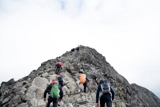

5 - Bessvatnet
15 km away
Bessvatnet is a glacial lake in Vågå Municipality in Innlandet county, Norway. The 4.7-square-kilometre lake is located in the Jotunheimen mountain range and also inside the Jotunheimen National Park. The lake lies just east of the mountain Besshø.
View on Google Maps Book this experience
6 - Horseback Riding in Jotunheimen
21 km away
Discover Norway's stunning mountainous landscapes on horseback during this fun-filled tour near Beitostolen!The experience of horseback riding in Skammestein near Beitostølen starts at the farm meeting point. There, you and your group (a maximu...
Learn more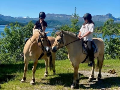
7 - Bygdin
23 km away
Bygdin is a lake in Vang Municipality in Innlandet county, Norway. The 46-square-kilometre is located in the southern part of the Jotunheimen mountain range.
View on Google Maps Book this experience
8 - Jotunheimen National Park
26 km away
Jotunheimen National Park is a national park in Norway, recognized as one of the country's premier hiking and fishing regions. The national park covers 1,151 square kilometres and is part of the larger area Jotunheimen.
Learn more Book this experience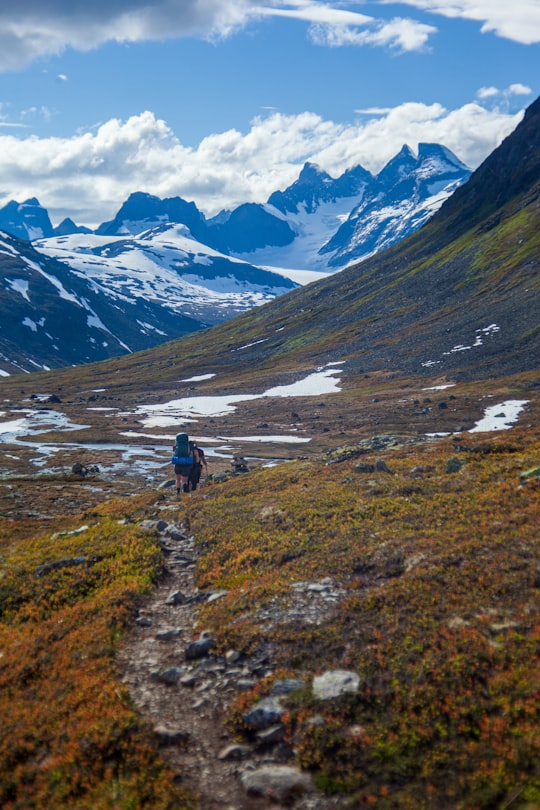

9 - Horse riding in Geilo
21 km away
Join this unique horseback riding excursion for a memorable experience in the mystical Norwegian forests at nighttime! During this adventure, you might even witness the Northern Lights dancing in the skies overhead! After being greeted by your ...
Learn more
10 - Galdhøpiggen
38 km away
Galdhøpiggen is the tallest mountain in Norway, Scandinavia and Northern Europe, at 2,469 m above sea level. It is in the municipality of Lom in Innlandet county and in the Jotunheimen mountain area.
Learn more Book this experience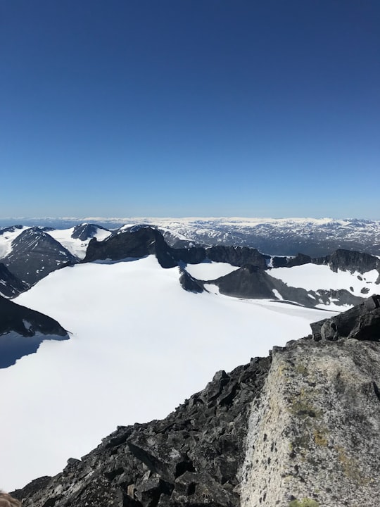
Book Tours and Activities in Valdresflye
Discover the best tours and activities around Valdresflye, Norway and book your travel experience today with our booking partners
Where to Stay near Valdresflye
Discover the best hotels around Valdresflye, Norway and book your stay today with our booking partner booking.com
More Travel spots to explore around Valdresflye
Click on the pictures to learn more about the places and to get directions
Discover more travel spots to explore around Valdresflye
⛰️ Highland spotsTravel map of Valdresflye
Explore popular touristic places around Valdresflye
Download On Google Maps 🗺️📲