Travel Guide of Geiranger in Norway by Influencers and Travelers
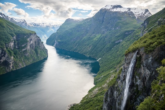
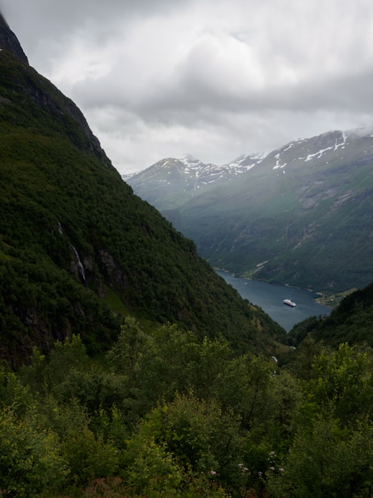
Geiranger is a small tourist village in Sunnmøre region of Møre og Romsdal county in the western part of Norway. It is in the municipality of Stranda at the head of the Geirangerfjorden, which is a branch of the large Storfjorden.
Download the Travel Map of Norway on Google Maps here
The Best Things to Do and Visit in Geiranger
TRAVELERS TOP 10 :
- Geirangerfjord
- Geirangerfjord, Seven Sisters Waterfall
- Boat Tours in Geiranger
- Dalsnibba
- Fossevandring Geiranger
- Canyoning in Norddal
- Hellesylt
- Gamle Strynefjellsveg
- Rafting in Norddal
- Gudbrandsjuvet
1 - Geirangerfjord
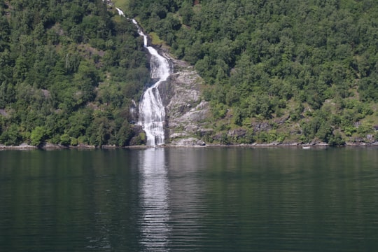
The Geiranger Fjord is a fjord in the Sunnmøre region of Møre og Romsdal county, Norway. It is located entirely in the Stranda Municipality. It is a 15-kilometre -long branch off the Sunnylvsfjorden, which is a branch off the Storfjorden. The small village of Geiranger is located at the end of the fjord where the Geirangelva river empties into it.
Learn more Book this experience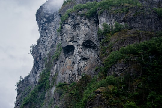

2 - Geirangerfjord, Seven Sisters Waterfall
6 km away
The Seven Sisters is the 39th tallest waterfall in Norway. The 410-metre tall waterfall consists of seven separate streams, and the tallest of the seven has a free fall that measures 250 metres.
View on Google Maps Book this experience
3 - Boat Tours in Geiranger
Discover western Norway's spectacular UNESCO World Heritage Site on this guided, 1-hour, Geirangerfjord boat tour from Geiranger! Welcoming adventurers of all ages. Located in the Sunnmøre region of western Norway, Geirangerfjord is truly one o...
Book this experience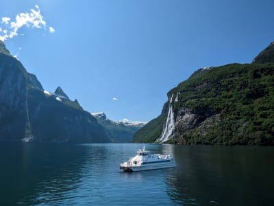
4 - Dalsnibba
7 km away
Dalsnibba is a mountain in Stranda Municipality in Møre og Romsdal county, Norway. It is located at the end of the Geiranger valley, about 7 km south of the village of Geiranger and the Geirangerfjorden.
Learn more Book this experience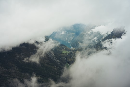

5 - Fossevandring Geiranger
Learn more
6 - Canyoning in Norddal
22 km away
Canyoning is an activity where it is all about moving down and through a canyon. We have an exciting and challenging course through the canyon, including a via ferrata, tight ropes, cliff jumping into the river, bouldering, a zip line and swimming! T...
Book this experience
7 - Hellesylt
18 km away
Hellesylt is a small village in Stranda Municipality in Møre og Romsdal county, Norway. The village lies at the head of the Sunnylvsfjorden, which is a branch of the Storfjorden, and which the more famous Geirangerfjorden in turn branches off nearby.
Learn more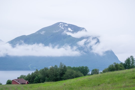
8 - Gamle Strynefjellsveg
18 km away
County Road 258, also known as Gamle Strynefjellsvegen, is a 27-kilometre long road that runs through the Videdalen valley between the village of Grotli in Skjåk Municipality and the village of Ospeli in Stryn Municipality.
Learn more
9 - Rafting in Norddal
22 km away
Valldøla river is perfect for rafting. The exciting rapids with fresh and clear water coming from Reinheimen National Park, are spread out along the entire length of the 11km river. We can promise you excitement, swimming a rapid and not least...
Book this experience
10 - Gudbrandsjuvet
29 km away
Learn more
11 - Lovatnet
32 km away
Lovatnet is a lake in the municipality of Stryn in Vestland county, Norway. It is located about 2 kilometres southeast of the village of Loen and about 6 kilometres east of the village of Olden.
Learn more Book this experience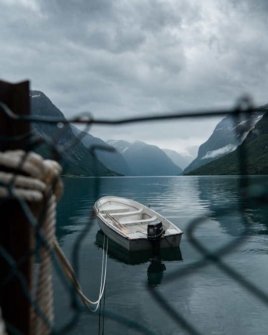
12 - Sea Kayaking in Norddal
22 km away
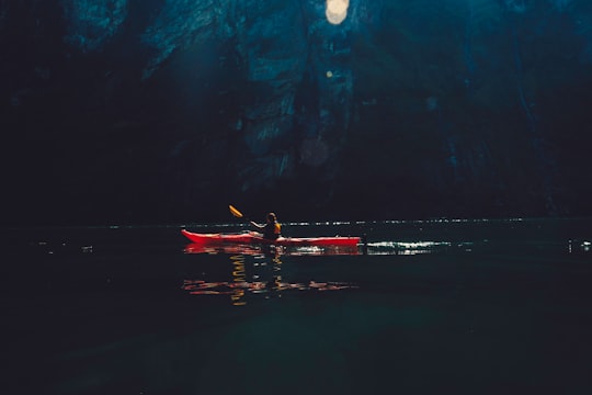
With Valldal as your starting point, you can experience peace and quiet on Norddalsfjorden and in the UNESCO World Heritage fjord Tafjorden. Both are shielded from cruise traffic and large boats. Enjoy the unique nature with waterfalls thundering int...
Book this experience
13 - Loen
32 km away
Loen is a village in Stryn Municipality in Vestland county, Norway. It is located in the inner part of the Nordfjord region, at the easternmost end of the Nordfjorden.
Learn more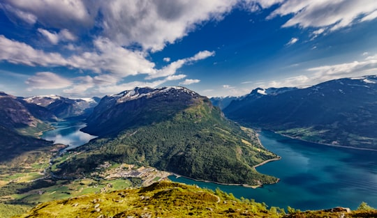
14 - Stryn
34 km away
Stryn is the administrative centre of Stryn Municipality in Vestland county, Norway. The village is located on the shore of a small bay off of the main Nordfjorden. The mouth of the river Stryneelva is in the village. The village sits about 3.5 kilometres west of the village of Nedstryn.
Learn more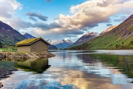
15 - Rock climbing in Norddal
22 km away
...
Book this experience
16 - Olden
36 km away
Olden is a village and urban area in the municipality of Stryn in Vestland county, Norway. Olden is located at the mouth of the Oldeelva river at the northern end of the Oldedalen valley on the southern shore of the Nordfjorden.
Learn more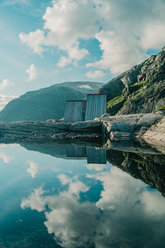
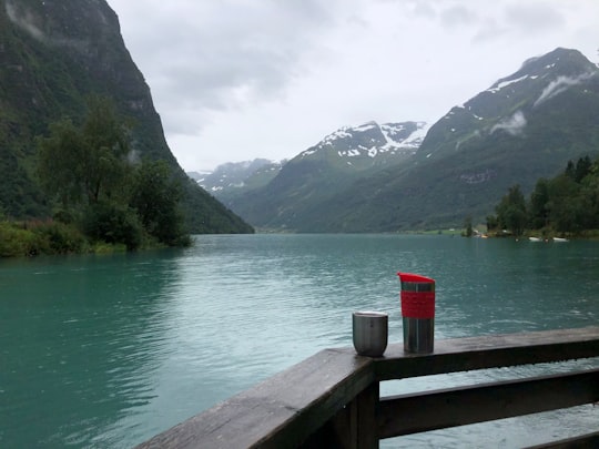
17 - Oldevatnet
41 km away
Oldevatnet is a lake in the municipality of Stryn in Vestland county, Norway. It is located in the valley of Oldedalen. The lake covers an area of 7.9 square kilometres, and has a length of about 12 kilometres.
Learn more Book this experience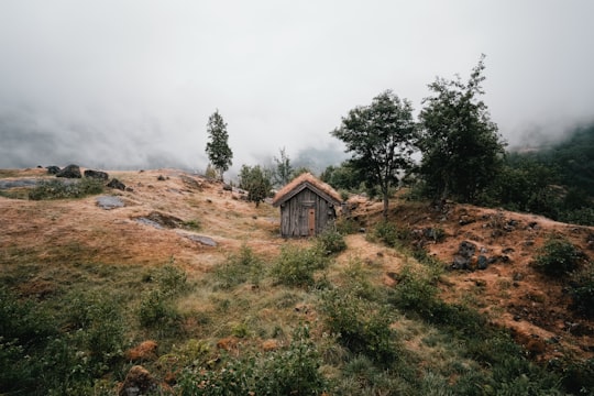
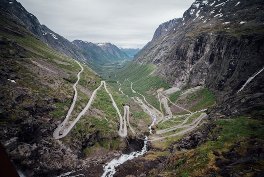
18 - Trollstigen
46 km away
Trollstigen is a serpentine mountain road and pass in Rauma Municipality, Møre og Romsdal county, Norway. It is part of Norwegian County Road 63 that connects the town of Åndalsnes in Rauma and the village of Valldal in Norddal Municipality.
Learn more Book this experience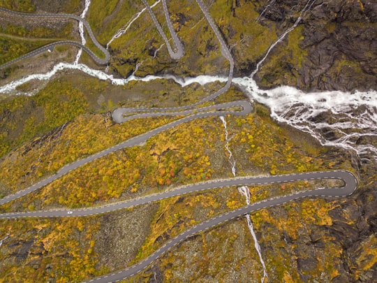
19 - Nigardsbreen
46 km away
Nigardsbreen is a glacier arm of the large Jostedalsbreen glacier. Nigardsbreen lies about 30 kilometres north of the village of Gaupne in the Jostedalen valley in Luster Municipality in Vestland county, Norway.
Learn more Book this experience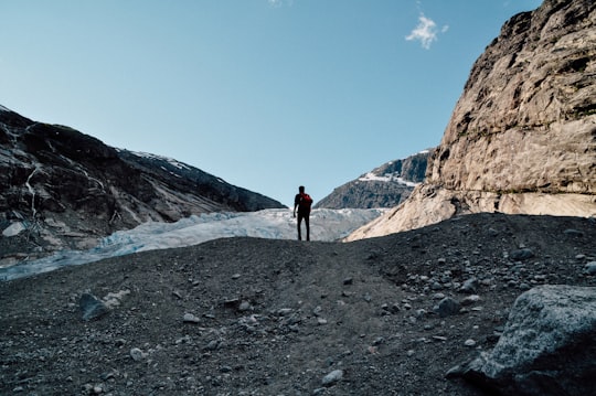
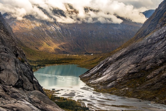
Disover the best Instagram Spots around Geiranger here
Book Tours and Activities in Geiranger
Discover the best tours and activities around Geiranger, Norway and book your travel experience today with our booking partners
Pictures and Stories of Geiranger from Influencers
15 pictures of Geiranger from Cosmic Timetraveler, Krisjanis Mezulis, Jakob Stenqvist and other travelers
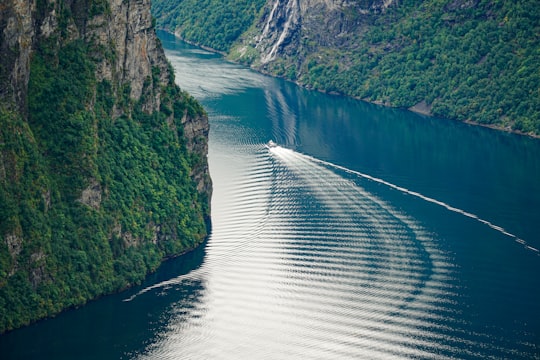
- Geirangerfjord from Ørnesvingen Viewpoint, August 2019. ...click to read more
- Experienced by @James Rathmell | ©Unsplash
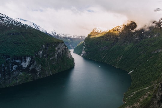
- norway geiranger fjord ...click to read more
- Experienced by @Krisjanis Mezulis | ©Unsplash
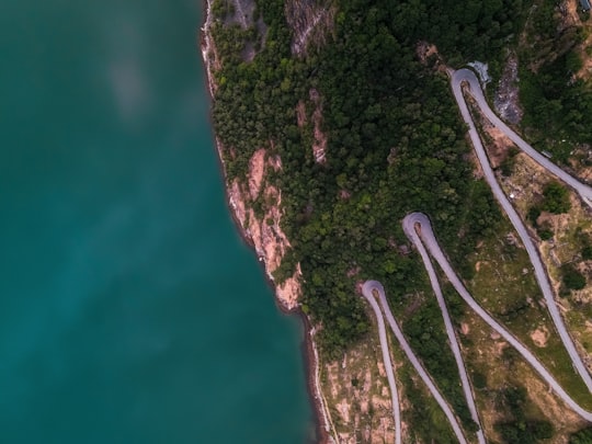
- Top-down view of a section of the eagle road at the Geirangerfjord ...click to read more
- Experienced by @Bart van meele | ©Unsplash
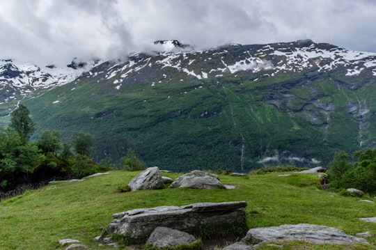
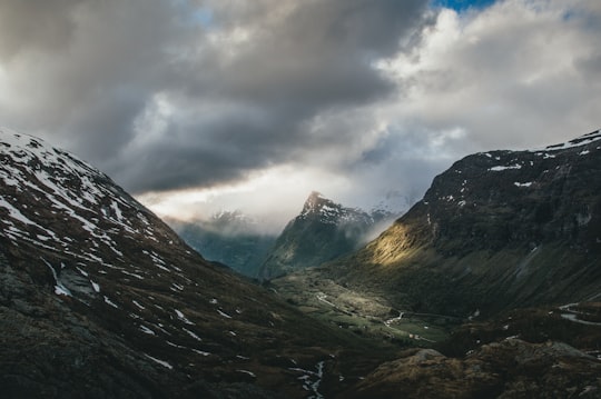
- Grassy snowy mountains, Geiranger ...click to read more
- Experienced by @Cosmic Timetraveler | ©Unsplash
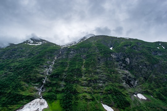
- Grassy Mountains in Geiranger ...click to read more
- Experienced by @Cosmic Timetraveler | ©Unsplash
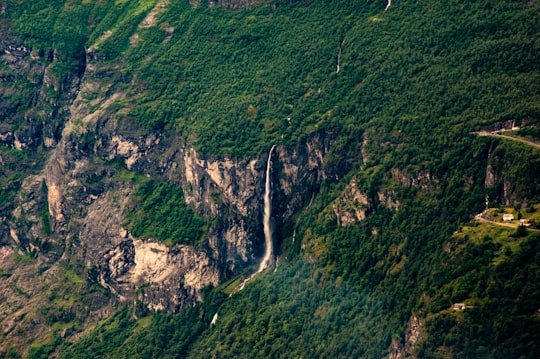
- Remote waterfall from above ...click to read more
- Experienced by @Cosmic Timetraveler | ©Unsplash
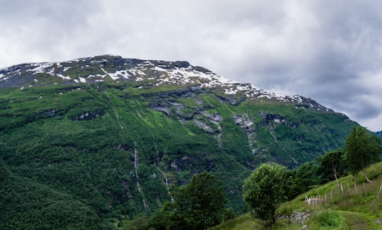
- Snow on green mountain ...click to read more
- Experienced by @Cosmic Timetraveler | ©Unsplash
Plan your trip in Geiranger with AI 🤖 🗺
Roadtrips.ai is a AI powered trip planner that you can use to generate a customized trip itinerary for any destination in Norway in just one clickJust write your activities preferences, budget and number of days travelling and our artificial intelligence will do the rest for you
👉 Use the AI Trip Planner
Why should you visit Geiranger ?
Travel to Geiranger if you like:
🌲 Nature reserve ⛰️ Hill station ⛰️ Cliff ⛰️ Highland 🏞️ WaterwayLearn More about Geiranger
Geiranger is a tourist village in western Norway, at the foot of the Geiranger Fjord, since 2005, it has been a UNESCO World Heritage Site. Known as the “most beautiful place” of Norway and the third port, Geiranger welcomes more than a hundred thousand people each summer, making tourism the main activity of the city. Waterfalls, mountains, vegetation are the essence of this amazing nature spot which extends over 100 kilometers. Follow hike paths, walk past beautiful waterfalls and discover forests full of strawberries, blueberries, wild berries and visit farms built on the hillside, selling local produce directly coming from the orchard. In addition to being one of the most spectacular places in the world, Geiranger has been awarded as a "sustainable destination", a certification for places that make efforts to reduce the tourism impact on the environment. If you like nature, it's a perfect destination for you, you'll be fascinated and, moreover, there's plenty of activities to do.
Frequently Asked Questions by Travelers planning a trip to Geiranger
You can go any time between June and August because days are long and you have the best chance for good weather.
Where to Stay in Geiranger
Discover the best hotels around Geiranger, Norway and book your stay today with our booking partner booking.com
More Travel spots to explore around Geiranger
Click on the pictures to learn more about the places and to get directions
Discover more travel spots to explore around Geiranger
⛰️ Hill station spots ⛰️ Cliff spots ❄️ Glacial landform spots ⛰️ Summit spots 🏞️ Waterfall spots 🏞️ Reservoir spots Watercraft rowing spots 🏞️ Waterway spots ⛰️ Highland spots ⛰️ Hill spots 🏞️ Loch spots 🌲 Nature reserve spotsTravel map of Geiranger
Explore popular touristic places around Geiranger
Download On Google Maps 🗺️📲
