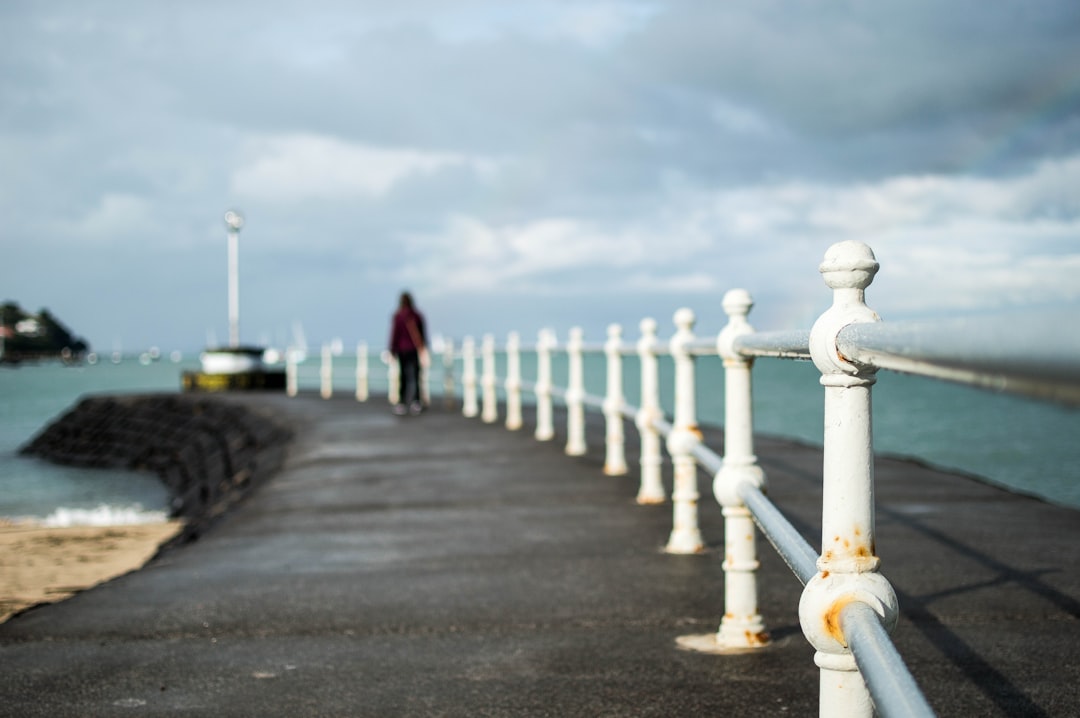
Travel Guide of Tawharanui Peninsula in New Zealand by Influencers and Travelers
Tāwharanui Peninsula is a finger of land projecting into the Hauraki Gulf from the east coast of the much larger North Auckland Peninsula of New Zealand. It separates Omaha Bay to the north from Kawau Bay and Kawau Island to the south. The nearest sizable town is Warkworth.
Pictures and Stories of Tawharanui Peninsula from Influencers
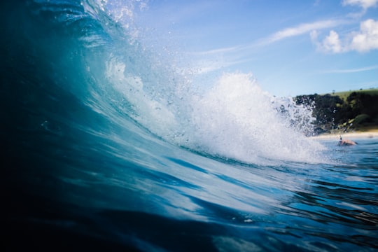
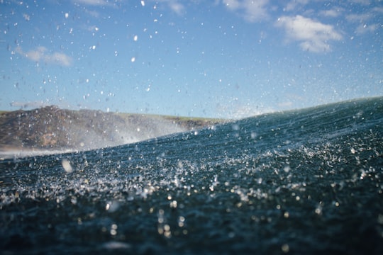
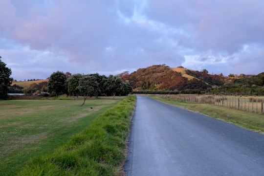
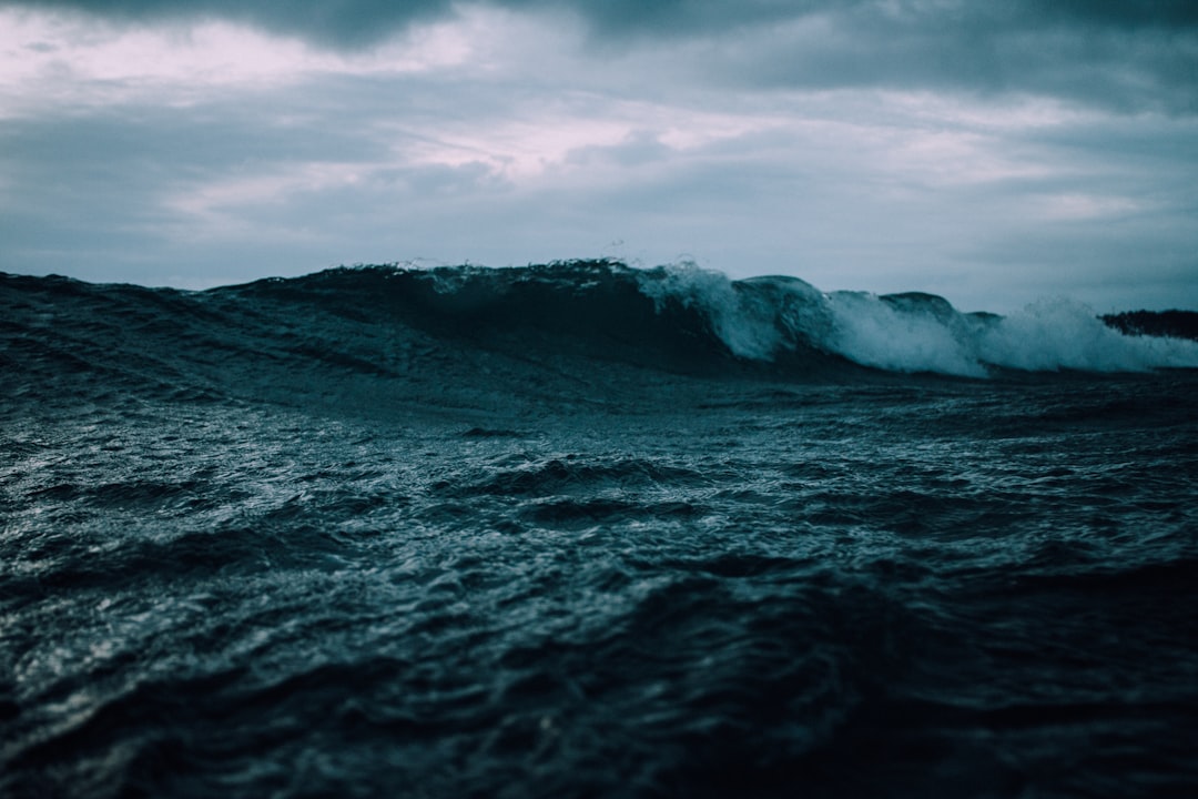
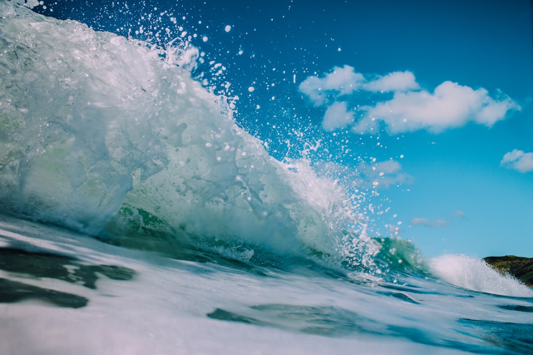
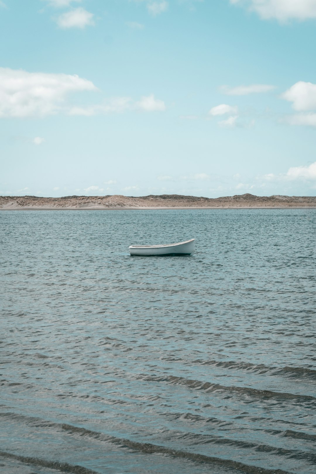
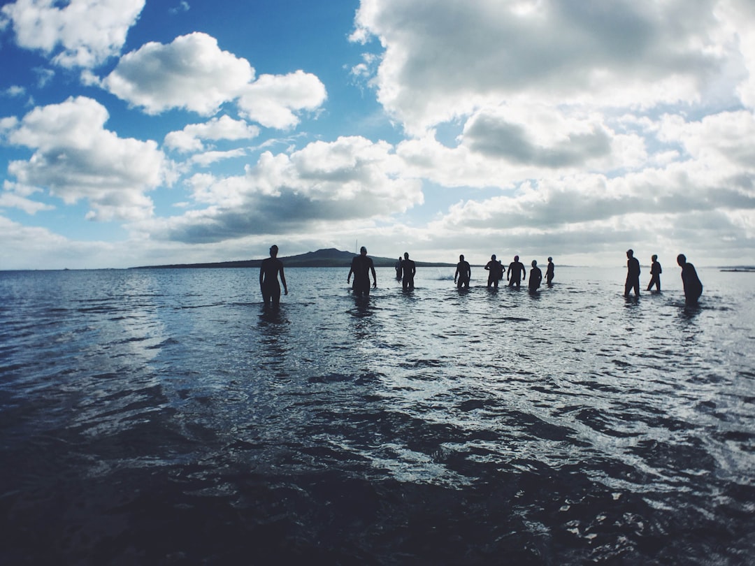
9 pictures of Tawharanui Peninsula from Tim Marshall, David T, and other travelers
Plan your trip in Tawharanui Peninsula with AI 🤖 🗺
Roadtrips.ai is a AI powered trip planner that you can use to generate a customized trip itinerary for any destination in New Zealand in just one clickJust write your activities preferences, budget and number of days travelling and our artificial intelligence will do the rest for you
👉 Use the AI Trip Planner
Book your Travel Experience at Tawharanui Peninsula
Discover the best tours and activities around Tawharanui Peninsula, New Zealand and book your travel experience today with our booking partners
Map of Tawharanui Peninsula
View Tawharanui Peninsula on a map with the the closest popular places nearby
More Travel spots to explore around Tawharanui Peninsula
Click on the pictures to learn more about the places and to get directions
Discover more travel spots to explore around Tawharanui Peninsula
🌊 Ocean spots 🤿 Underwater spots ❄️ Glacier spots ⛰️ Hill spots 🏄 Surfing spotsLearn More about Tawharanui Peninsula
The Tāwharanui Peninsula is a place of land jutting into the Hauraki Gulf from the east coast of New Zealand's much bigger North Auckland Peninsula. It splits Omaha Bay to the north from Kawau Bay and Kawau Island to the south. The nearer major city is Warkworth.
Tawharanui Regional Park is approximately 80 minutes by car of the north of Auckland. There is a camping site for tents and reservation should be made by contacting the Auckland Regional Council. This very popular site is booked well in advance for the summer holiday.
You can plan a plenty of things to do in the park, snorkeling, scuba diving, surf and also eat typical dishes from there, similar to Australian cuisine, it reflects the country's ethnic and cultural diversity by mixing Maori and European influences.
Frequently Asked Questions by Travelers planning a trip to Tawharanui Peninsula
The tasty pie is widely regarded as a New Zealand culinary icon and staple. It comes pipin' hot with crispy pastry and chock full of a glorious savoury filling.
Where to Stay near Tawharanui Peninsula
Discover the best hotels around Tawharanui Peninsula, New Zealand and book your stay today with our booking partner booking.com
Popular destinations near Tawharanui Peninsula
Disover the best Instagram Spots around Tawharanui Peninsula here
Narrow Neck Beach
48 km (29.9 miles) away from Tawharanui Peninsula
Travel guide of Narrow Neck Beach
