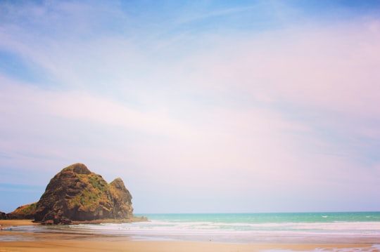
Travel Guide of Sylvia Park in New Zealand by Influencers and Travelers
Sylvia Park is a large business park and shopping centre in the Auckland suburb of Mount Wellington in New Zealand. Less commonly known, the area around the centre is also called Sylvia Park.
Pictures and Stories of Sylvia Park from Influencers
Picture from Fiona Clyde who have traveled to Sylvia Park
Plan your trip in Sylvia Park with AI 🤖 🗺
Roadtrips.ai is a AI powered trip planner that you can use to generate a customized trip itinerary for any destination in New Zealand in just one clickJust write your activities preferences, budget and number of days travelling and our artificial intelligence will do the rest for you
👉 Use the AI Trip Planner
The Best Things to Do and Visit around Sylvia Park
Disover the best Instagram Spots around Sylvia Park here
1 - Half Moon Bay
6 km away
Learn more
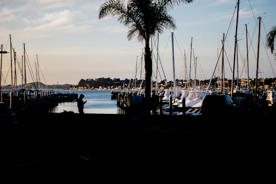
2 - Kohimarama
7 km away
Kohimarama is a coastal residential Auckland suburb, located to the east of the city. Kohimarama is situated between Mission Bay and St Heliers and has an accessible beach with a boardwalk and green recreational spaces located amongst residential areas.
Learn more

3 - Sea Kayaking in Auckland
7 km away
This half day excursion to Browns Island is the perfect trip for anyone who wants an exciting and informative day on Auckland's Waitemata Harbor. Browns Island, also known as Motukorea (island of the pied oystercatcher bird), is one of the best-prese...
Learn more
4 - Auckland War Memorial Museum
8 km away
The Auckland War Memorial Museum Tāmaki Paenga Hira is one of New Zealand's most important museums and war memorials. Its collections concentrate on New Zealand history, natural history, and military history.
Learn more Book this experience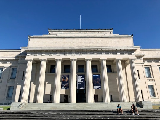

5 - Auckland Domain
8 km away
The Auckland Domain is a large park in Auckland, New Zealand. It is the oldest park in the city, and at 75 hectares is one of the largest.
View on Google Maps Book this experience
6 - Helicopter tours in Auckland
22 km away
Discover Auckland and its largest volcano on Rangitoto Island aboard a helicopter! Auckland is a nice city, but let's be honest - nothing beats a bird's eye view from the sky. Embark on this helicopter journey and you will see in a few minutes all of...
Learn more
7 - Musick Point
9 km away
Musick Point is the headland of the peninsula that forms the eastern shore of the Tamaki River in Bucklands Beach, a suburb of Auckland, New Zealand.
Learn more Book this experience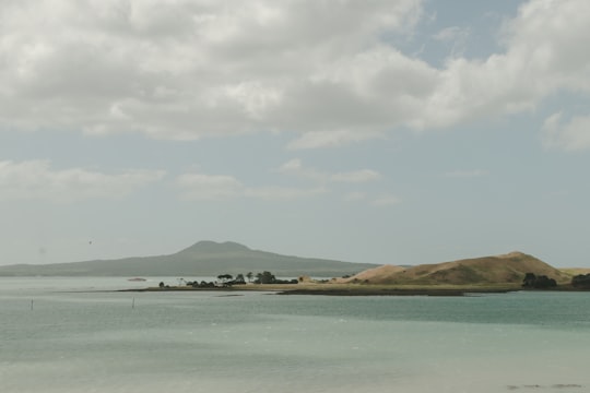

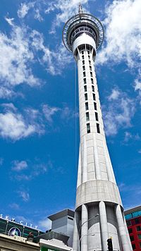
8 - Sky Tower
10 km away
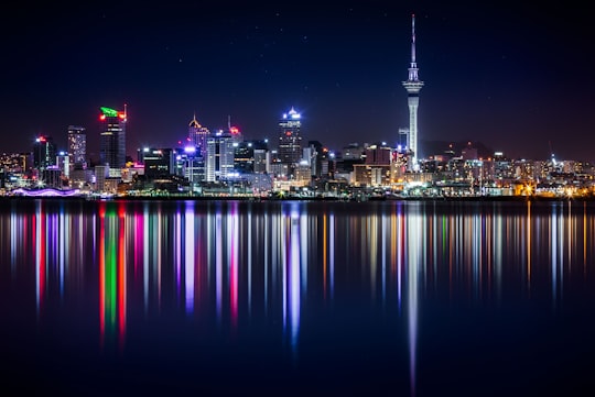
The Sky Tower is a telecommunications and observation tower in Auckland, New Zealand. Located at the corner of Victoria and Federal Streets within the city's CBD, it is 328 metres tall, as measured from ground level to the top of the mast, making it the tallest freestanding structure in the Southern Hemisphere and the 27th tallest tower in the world.
Learn more Book this experience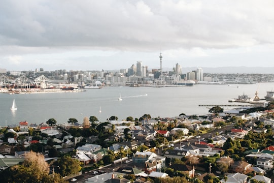
9 - Auckland
10 km away
Auckland City was a territorial authority with city status covering the central isthmus of the urban area of Auckland, New Zealand.
Learn more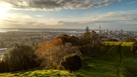
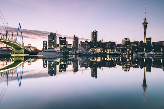
10 - Metropolis
10 km away
Metropolis is a 39-storey residential / hotel skyscraper in the Auckland CBD of Auckland, New Zealand, developed in 1999 by Krukziener Properties.
Learn more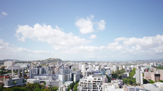
11 - Devonport
10 km away
Devonport is a harbourside suburb of Auckland, New Zealand. It is located on the North Shore, at the southern end of a peninsula that runs southeast from near Lake Pupuke in Takapuna, forming the northern side of the Waitematā Harbour.
Learn more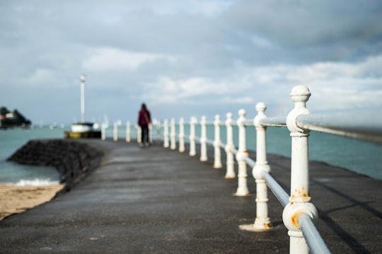
12 - Mount Victoria
10 km away
Mount Victoria is a prominent hill 196 metres high immediately to the east of central Wellington, New Zealand. About 4 kilometres due south is a spur named Mount Albert and the two are linked by a ridge.
Learn more
13 - Spaghetti Junction
10 km away
Learn more
14 - Narrow Neck Beach
12 km away
Narrow Neck is a suburb of Auckland, New Zealand. Until the mid-19th century, Devonport was connected with the rest of the North Shore by a causeway between Ngataringa Bay and the Hauraki Gulf. This causeway gave the appearance of a "narrow neck".
Learn more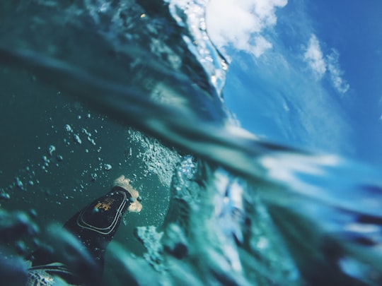
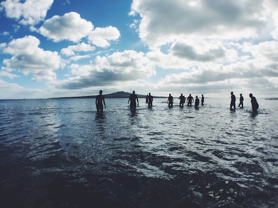
15 - Auckland Zoo
12 km away
Auckland Zoo is a 16.35-hectare zoological garden in Auckland, New Zealand, situated next to Western Springs park not far from Auckland's central business district.
Learn more Book this experience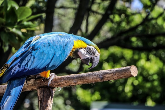
16 - Waitemata Harbour
13 km away
Waitematā Harbour is the main access by sea to Auckland, New Zealand. For this reason it is often referred to as Auckland Harbour, despite the fact that it is one of two harbours adjoining the city.
Learn more Book this experience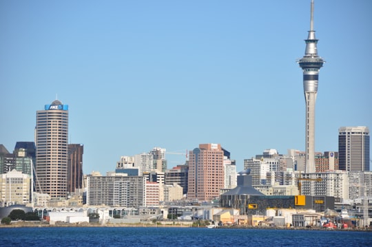
17 - Rangitoto Island
14 km away
Rangitoto Island is a volcanic island in the Hauraki Gulf near Auckland, New Zealand. The 5.5 km wide island is a symmetrical shield volcano cone, reaching a height of 260 m.
Learn more Book this experience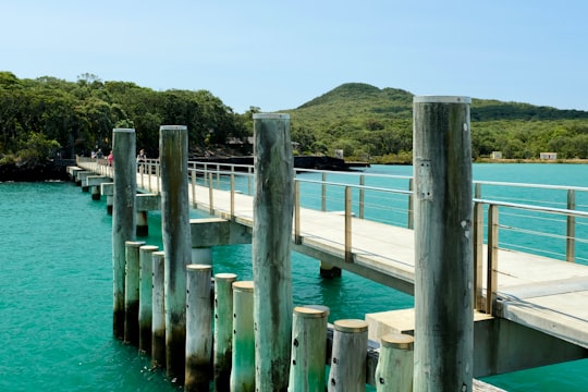

18 - Waiheke Island
26 km away
Waiheke Island is the most populated and the second-largest island in the Hauraki Gulf of New Zealand. Its ferry terminal in Matiatia Bay at the western end is 21.5 km from the central-city terminal in Auckland.
Learn more Book this experience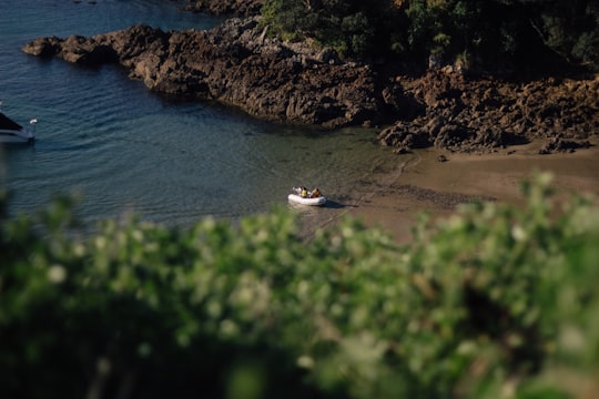

19 - Waitakere Ranges Regional Parkland
28 km away
The Waitākere Ranges and its foothills and coasts comprise an area of some 27 720 ha of public and private land located between metropolitan Auckland and the west coast of Waitakere City and Rodney District.
Learn more Book this experience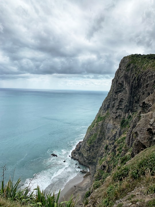

20 - Piha
33 km away
Piha is a coastal settlement on the western coast of the Auckland Region in New Zealand. It is one of the most popular beaches in the area and a major day-trip destination for Aucklanders throughout the year, and especially in summer.
Learn more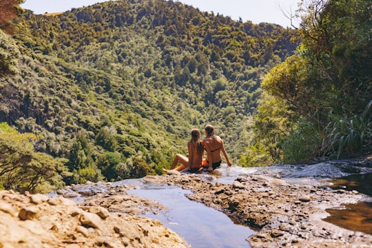
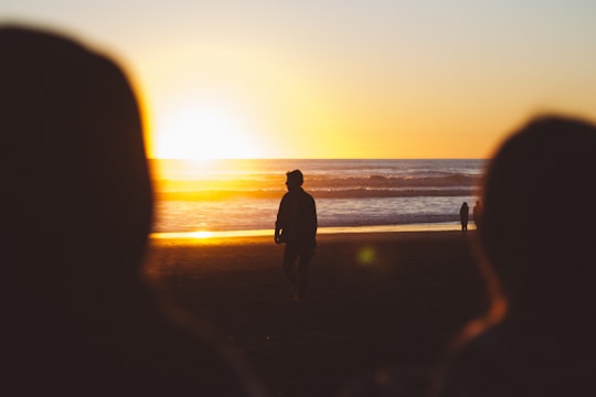
21 - Te Henga Walkway
36 km away
Learn more
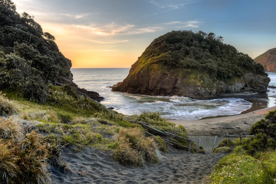
22 - Muriwai Beach
38 km away
Muriwai, also called Muriwai Beach, is a coastal community on the west coast of the Auckland Region in the North Island of New Zealand. The black-sand surf beach and surrounding area is a popular recreational area for Aucklanders. Gannets nest there in a large colony on the rocks. The New Zealand Ministry for Culture and Heritage gives a translation of "water's end" for Muriwai.
Learn more
Book Tours and Activities in Sylvia Park
Discover the best tours and activities around Sylvia Park, New Zealand and book your travel experience today with our booking partners
Where to Stay near Sylvia Park
Discover the best hotels around Sylvia Park, New Zealand and book your stay today with our booking partner booking.com
More Travel spots to explore around Sylvia Park
Click on the pictures to learn more about the places and to get directions
Discover more travel spots to explore around Sylvia Park
🏖️ Beach spotsTravel map of Sylvia Park
Explore popular touristic places around Sylvia Park
