Travel Guide of Otago in New Zealand by Influencers and Travelers
Otago is a region of New Zealand located in the southern half of the South Island administered by the Otago Regional Council. It has an area of approximately 32,000 square kilometres, making it the country's second largest local government region.
Pictures and Stories of Otago from Influencers
12 pictures of Otago from Tyler Lastovich, Scott Greer, Oliver Hae and other travelers
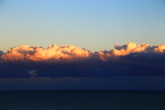
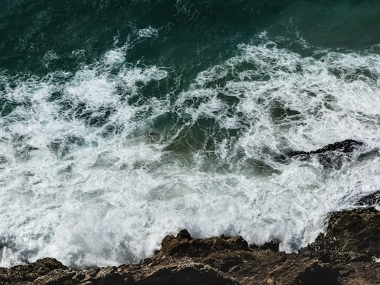
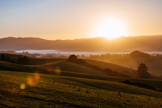
- This was a very brief but fairly spectaculare sunset over the sea. ...click to read more
- Experienced by @Nareeta Martin | ©Unsplash
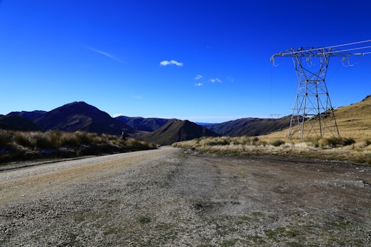
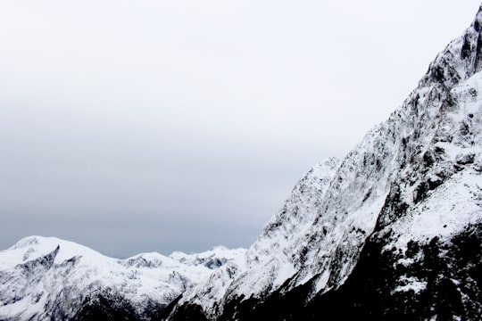
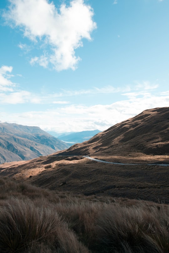
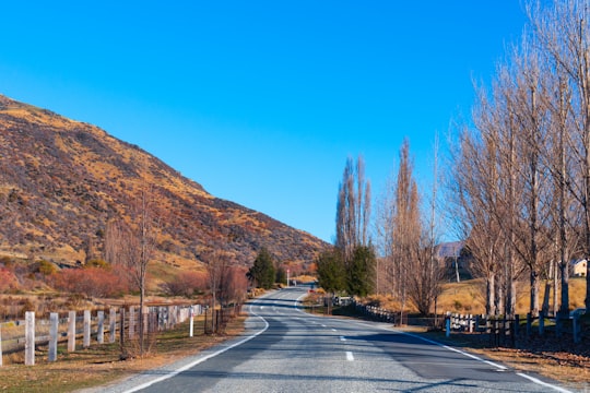
- Power pylon beside road in rugged mountainous terrain. ...click to read more
- Experienced by @Nareeta Martin | ©Unsplash
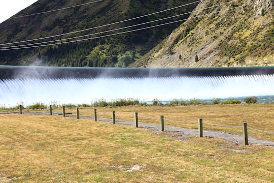
- Controlled overflow of spillway after heavy rains. ...click to read more
- Experienced by @Nareeta Martin | ©Unsplash
Plan your trip in Otago with AI 🤖 🗺
Roadtrips.ai is a AI powered trip planner that you can use to generate a customized trip itinerary for any destination in New Zealand in just one clickJust write your activities preferences, budget and number of days travelling and our artificial intelligence will do the rest for you
👉 Use the AI Trip Planner
The Best Things to Do and Visit around Otago
Disover the best Instagram Spots around Otago here
1 - Dunedin Railways
Dunedin Railways is an operator of a railway line and tourist trains based at Dunedin Railway Station in the South Island of New Zealand.
Learn more Book this experience

2 - Dunedin Town Hall
The Dunedin Town Hall, also known as the Dunedin Centre, is a municipal building in the city of Dunedin in New Zealand. It is located in the heart of the city extending from The Octagon, the central plaza, to Moray Place through a whole city block.
View on Google Maps Book this experience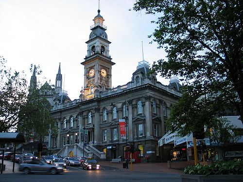
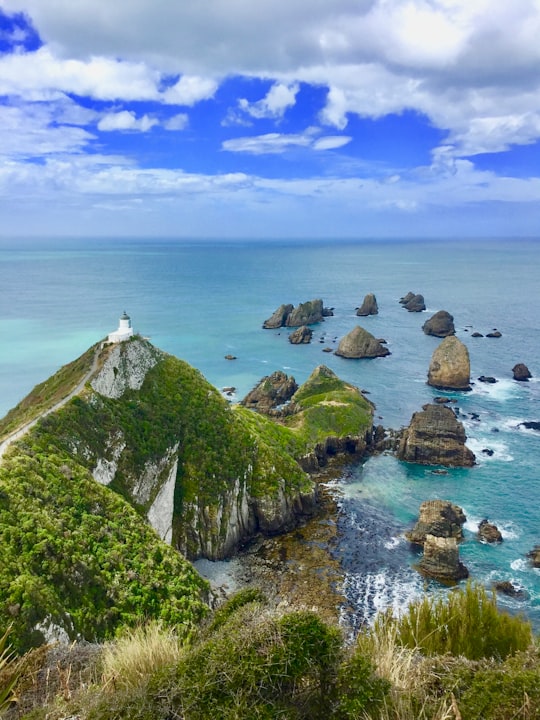
3 - Nugget Point
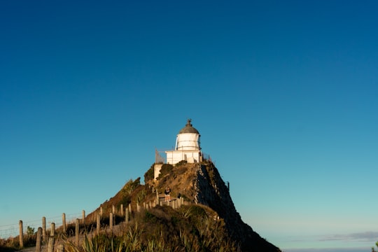
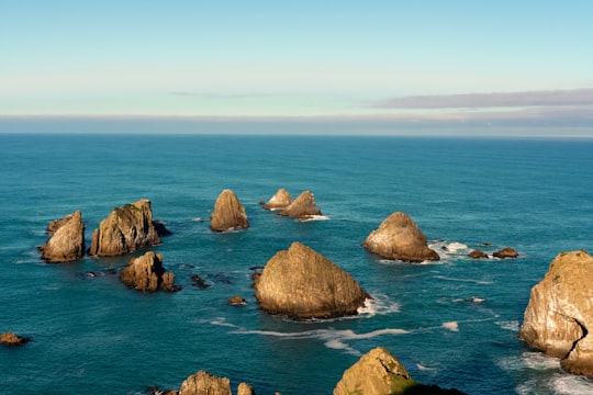
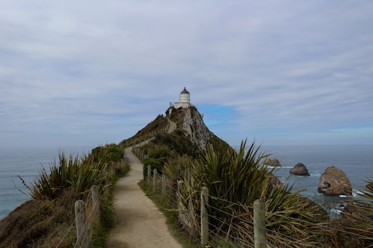
Nugget Point is one of the most iconic landforms on the Otago coast. Located at the northern end of the Catlins coast, along the road from Kaka Point, this steep headland has a lighthouse at its tip, surrounded by rocky islets.
Learn more Book this experience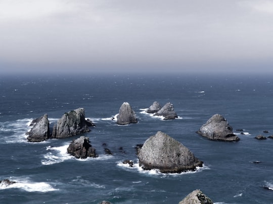
4 - Nugget Point Lighthouse
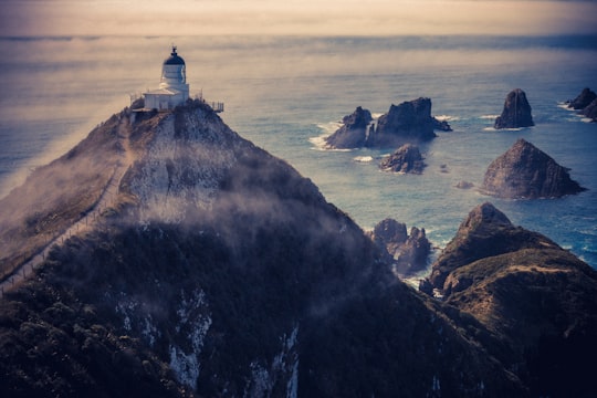
Nugget Point Lighthouse is a lighthouse at Nugget Point in the Otago region of the South Island of New Zealand. It is owned and operated by Maritime New Zealand.
Learn more Book this experience
5 - Nugget Point Light House
Learn more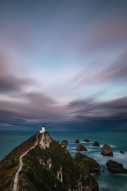
6 - Tunnel Beach
Tunnel Beach is a locality 7.5 kilometres southwest of the city centre of Dunedin, New Zealand. Located just south of St Clair, Tunnel Beach has sea-carved sandstone cliffs, rock arches and caves.
Learn more Book this experience
7 - Mount Cargill
9 km away
Mount Cargill, known in Māori as Kapukataumahaka, is a volcanic outcrop which dominates the skyline of northern Dunedin, New Zealand. The peak is named for Captain William Cargill, an early leader of the Province of Otago.
Learn more Book this experience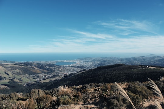

8 - Boulder Beach
9 km away
Boulder Beach is a rocky beach which is located on the Pacific side of the Otago Peninsula, New Zealand. Boulder Beach can be accessed by a number of walking tracks.
Learn more Book this experience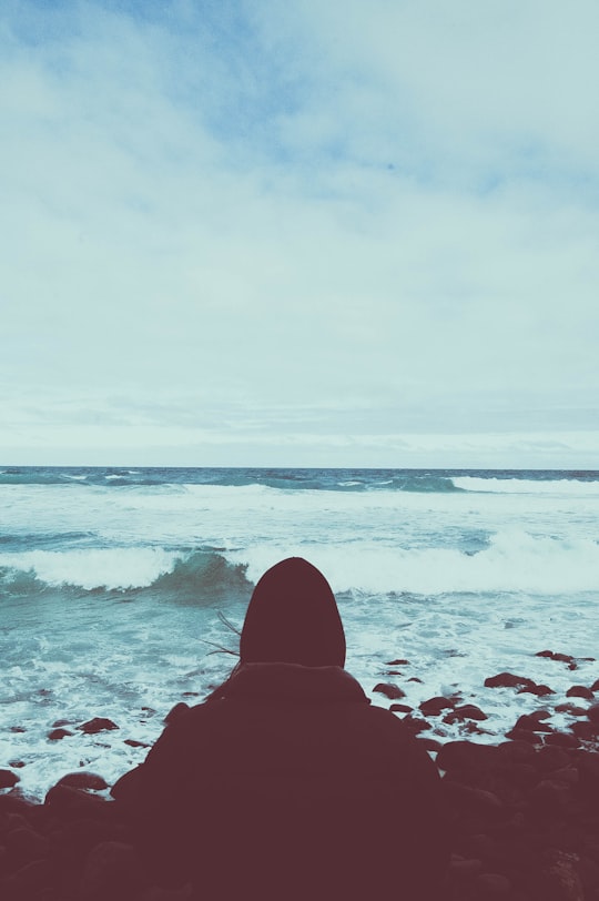
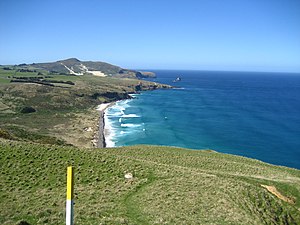
9 - Sandymount
13 km away
Sandymount is the name of a prominent hill on Otago Peninsula, in the southeastern South Island of New Zealand. It is 13 kilometres east of the city centre of Dunedin, close to the northeastern end of Sandfly Bay, and rises to a height of 312 metres.
Learn more Book this experience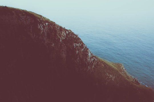
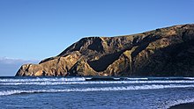
10 - The Catlins
13 km away
The Catlins comprises an area in the southeastern corner of the South Island of New Zealand. The area lies between Balclutha and Invercargill, straddling the boundary between the Otago and Southland regions.
Learn more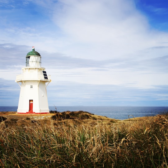
11 - Blueskin Bay
18 km away
Blueskin Bay is an estuary in coastal Otago, about 25 km north of Dunedin, New Zealand. The name also unofficially describes the rural district which includes the northern slopes of Mount Cargill, the southern slopes of the Kilmog, and the townships of Doctors Point, Waitati, Evansdale, Warrington, and Seacliff.
View on Google Maps Book this experience
12 - Purakaunui Falls
22 km away
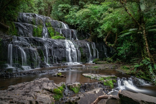
The Purakaunui Falls are a cascading three-tiered waterfall on the Purakaunui River, in The Catlins of the southern South Island of New Zealand.
Learn more Book this experience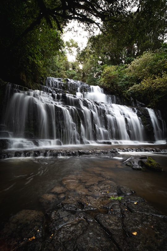
13 - Milton
31 km away
Learn more
14 - McLean Falls
39 km away
The McLean Falls on the Tautuku River in Catlins Forest Park descend a number of steep drop offs and terraces, with the very top of the waterfall, where it meets its first waterpool being 22-metres.
Learn more Book this experience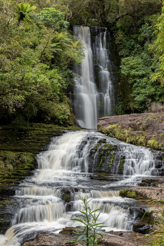
Book Tours and Activities in Otago
Discover the best tours and activities around Otago, New Zealand and book your travel experience today with our booking partners
Learn More about Otago
Experience the contrast of the seasons in Alexandra. Situated at the confluence of two rivers, Alexandra is surrounded by a distinctive lunar landscape of rocky hills and sparse elevated terrain. Enjoy Alexandra's modern facilities, but remember that its gold mining past is always latent. Walk up to the clock on the hill; at 11 metres wide it is one of the largest in the world. During the summer season, visit a local fruit orchard; apricots and cherries are the region's speciality. In winter, go ice skating or play a game of curling at the outdoor ice rink. Cycle the Otago Central Rail Trail or any of the amazing trails available. Learn about gold mining, agriculture, viticulture and horticulture at the Central Stories Museum. Head to the shifting wooden Shaky Bridge and the town's original stone piers, relics of the gold mining eras. Enjoy wine tasting in the picturesque vineyards; pinot noir is the local speciality. Hike the hillside trails on foot or mountain bike. Still time for a family adventure? Discover Cromwell On the shores of Loch Dunstan, Cromwell is an ideal place to experience a wealth of sun-ripened fruit, award-winning wines and its rich mining past. Visit one of the many wineries in the Cromwell basin; you'll feel the magic of drinking a glass of wine where it was made. Visit the farmers' market in Cromwell's heritage district every Sunday in summer. Taste real fruit ice cream at one of the local orchards. Pack a picnic and relax on the shores of Loch Dunstan, an idyllic location for swimming, fishing, boating and watersports. Take photos in front of the GIANT fruit sculpture. Visit the heritage district of Cromwell to discover the finest local artwork. Take one of the cycle trails to Bannockburn or around the lake.
Where to Stay near Otago
Discover the best hotels around Otago, New Zealand and book your stay today with our booking partner booking.com
More Travel spots to explore around Otago
Click on the pictures to learn more about the places and to get directions
Discover more travel spots to explore around Otago
⛰️ Hill spots ⛰️ Highland spots 🏖️ Shore spots 🌊 Ocean spots ⛰️ Mountain range spots 🏖️ Coast spots 🏞️ Lake spots 🗼 Landmark spots 🏞️ Reservoir spots 🏖️ Beach spots 🌲 Plain spots 🌲 Ecoregion spots 🏞️ River spots 🛣️ Road trip spots 🌲 Nature reserve spotsTravel map of Otago
Explore popular touristic places around Otago
