Travel Guide of Hooker Valley Track in New Zealand by Influencers and Travelers
Sealy Tarns is a small flat area with two small tarns halfway up the northern slopes of the Sealy Range, New Zealand. It is accessible from the Hooker Valley and Mount Cook Village via a tramping track maintained by the Department of Conservation.
Pictures and Stories of Hooker Valley Track from Influencers
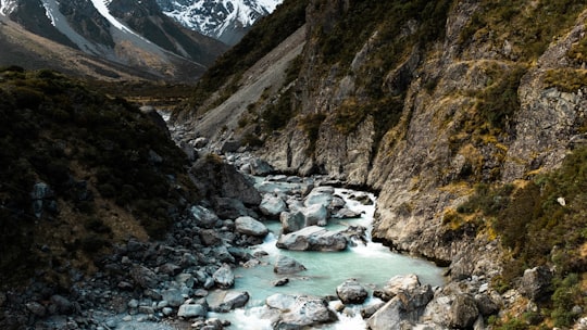
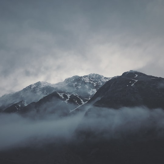
12 pictures of Hooker Valley Track from Nik Shuliahin, Tyler Lastovich, Will Turner and other travelers
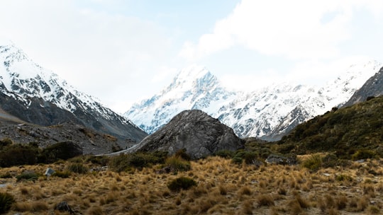
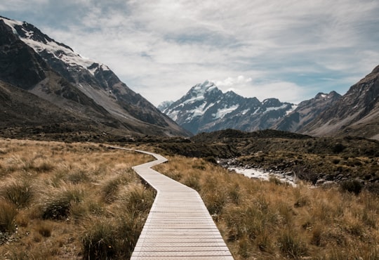
- Taken at the Hooker Valley Track. The snow capped mountain in the background is Mount Cook ...click to read more
- Experienced by @Nishant Dania | ©Unsplash
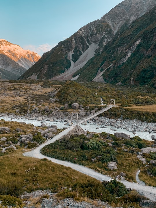
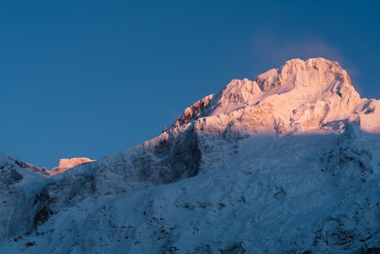
- A picture perfect sunrise over the Hooker Valley Track. ...click to read more
- Experienced by @Molly Spink | ©Unsplash
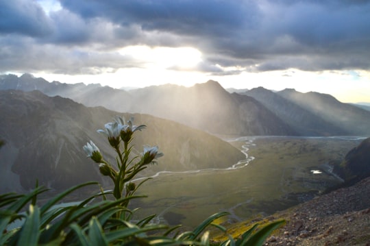
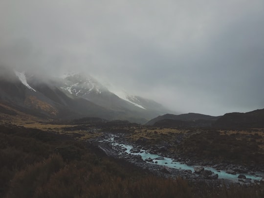
- Morning view over Hooker Valley. Canterbury, New Zealand ...click to read more
- Experienced by @Shawn Appel | ©Unsplash
Plan your trip in Hooker Valley Track with AI 🤖 🗺
Roadtrips.ai is a AI powered trip planner that you can use to generate a customized trip itinerary for any destination in New Zealand in just one clickJust write your activities preferences, budget and number of days travelling and our artificial intelligence will do the rest for you
👉 Use the AI Trip Planner
The Best Things to Do and Visit around Hooker Valley Track
Disover the best Instagram Spots around Hooker Valley Track here
1 - Hooker Valley track
Learn more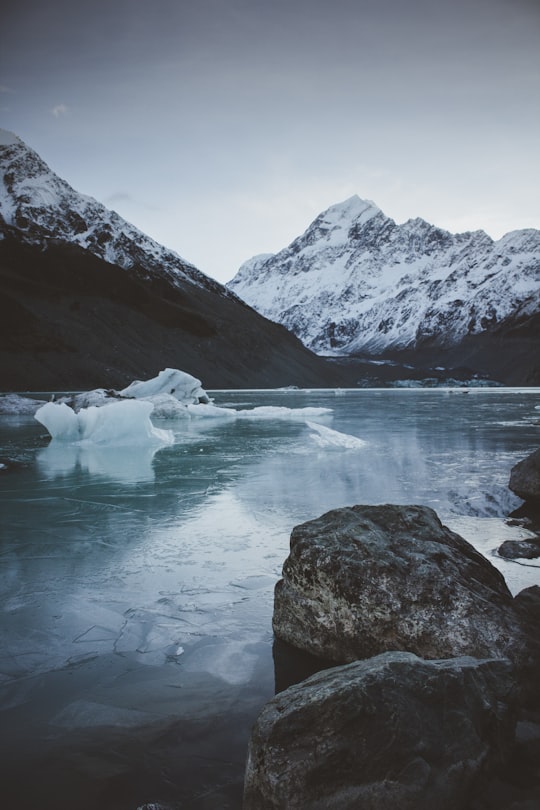
2 - Aoraki/Mount Cook National Park
Aoraki/Mount Cook National Park is in the South Island of New Zealand, near the town of Twizel. Aoraki / Mount Cook, New Zealand's highest mountain, and Aoraki/Mount Cook Village lie within the park.
Learn more Book this experience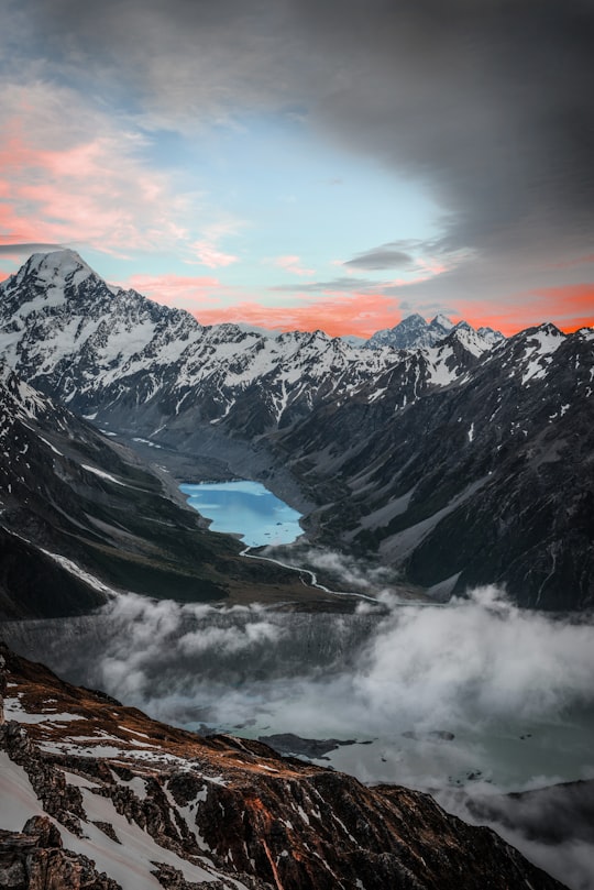

3 - Shore Excursions in Aoraki Mount Cook (Mount Cook Village)
12 km away
Explore the Mt Cook area on this one day, fully guided small group tour from Queenstown with free time to participate in the best activities. Highlights: • Mt Cook & Aoraki National Park • Lake Pukaki • Kawarau Gorge, Lindis Pass, the Southern Alps • High Country Salmon • Free time for activities & walks While the destinations you will be visiting are truly spectacular, we at Cheeky Kiwi Travel believe it is our small groups, our guides, the journey and the little details that set our tours well apart. Secret stops, wildlife viewings, specially designed vehicles and many other pleasant surprises ensure our tours are an experience to remember. You also have time to enjoy extra activities of your choice, unlike many other tours. On tours are led by our passionate tour guides, notorious for bringing your journey to life by sharing stories and rich background knowledge and run in modern, comfortable minibuses packed with extras ensuring your comfort and safety.
Learn more
4 - Mueller Glacier
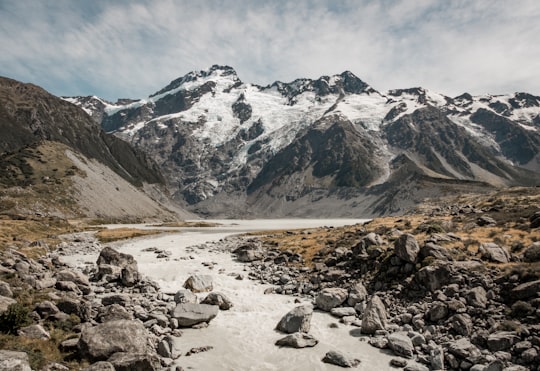
The Mueller Glacier is a 13-kilometre long glacier flowing through Aoraki / Mount Cook National Park in the South Island of New Zealand.
View on Google Maps Book this experience
5 - Mount Sefton
Mount Sefton is a mountain in the Aroarokaehe Range of the Southern Alps of New Zealand, just 12 kilometres south of Aoraki / Mount Cook. To the south lies Mount Brunner, and to the north The Footstool, both more than 400 metres shorter.
Learn more Book this experience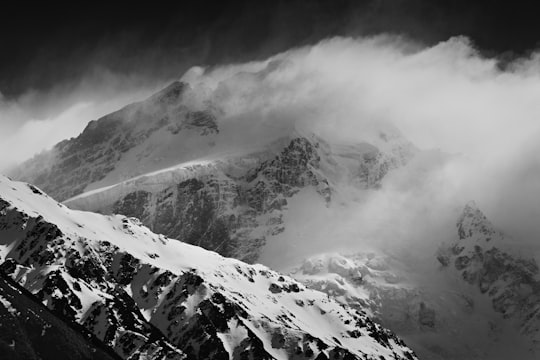

6 - Helicopter Tours in Aoraki Mount Cook (Mount Cook Village)
12 km away
Our premier flight over the Mt Cook National Park and its vast glaciers and snowfields. See the ancient waters of the Tasman Glacier lake before flying the length of the Tasman Glacier, New Zealand’s longest glacier. Experience what it feels like to stand in snow amongst the mountains as you take in a spectacular view of New Zealand's highest peak, Aoraki/Mount Cook during your snow landing. Cross to the West Coast and view the formidable Franz Josef and Fox glaciers before completing your journey with uninterrupted views of the summit ridge of Aoraki/Mt Cook.
Learn more
7 - Hooker Lake
Hooker Lake is a proglacial lake that started to form in the late 1970s by the recent retreat of the Hooker Glacier. It is in the Hooker Valley, in the Aoraki / Mount Cook National Park in New Zealand's South Island, just south of Aoraki / Mount Cook.
Learn more Book this experience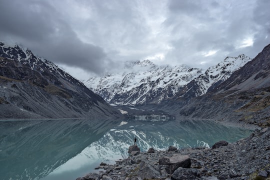

8 - Hooker Glacier
6 km away
Hooker Glacier is one of several glaciers close to the slopes of Aoraki / Mount Cook in the Southern Alps of New Zealand. It is not as large as its neighbour, the Tasman Glacier, measuring 11 kilometres in length.
Learn more Book this experience
9 - Glacier Walks in Aoraki Mount Cook National Park (Te Wahipounamu)
19 km away
Explore the immense beauty of the Tasman Glacier's upper snowfield. Flying to 2200m in a skiplane (or maybe a helicopter depending on conditions), you are ready to explore ice formations in this ever-changing environment. Following your knowledgeable, professional, NZMGA trained Guide you will learn about New Zealand's awe inspiring big mountain country, the birthplace of New Zealand mountaineering.
Learn more
10 - Southern Alps
7 km away
The Southern Alps is a mountain range extending along much of the length of New Zealand's South Island, reaching its greatest elevations near the range's western side.
Learn more Book this experience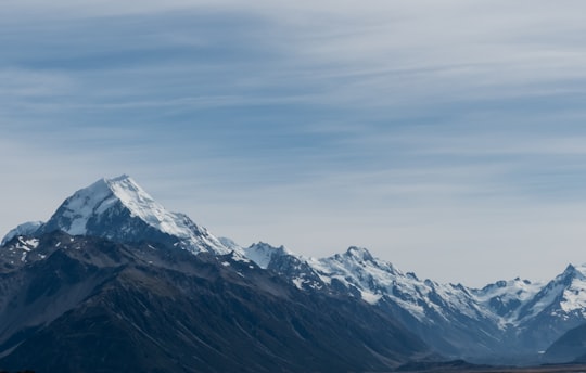
11 - Tasman Lake
8 km away
Tasman Lake is a proglacial lake formed by the recent retreat of the Tasman Glacier in New Zealand's South Island. In the early 1970s, there were several small meltwater ponds on the Tasman Glacier. By 1990, these ponds had merged into Tasman Lake.
Learn more Book this experience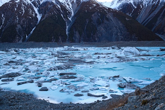

12 - Skydiving in Aoraki Mount Cook National Park (Te Wahipounamu)
19 km away
Enjoy New Zealand’s most stunning skydiving experience! Located in Pukaki and boasting some of the country’s most epic scenery. Skydive Mt Cook offers quintessential South Island views: snow-capped mountains, glaciers, lakes and Aorkai/Mt Cook National Park. Free fall from the best piece of sky this beautiful country has to offer. An authentic kiwi experience!
Learn more
13 - Aoraki / Mount Cook
14 km away
Aoraki / Mount Cook is the highest mountain in New Zealand. Its height, as of 2014, is listed as 3,724 metres. It lies in the Southern Alps, the mountain range which runs the length of the South Island.
Learn more Book this experience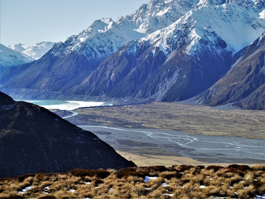

14 - Tasman Glacier
15 km away
Haupapa / Tasman Glacier is the largest glacier in New Zealand, and one of several large glaciers which flow south and east towards the Mackenzie Basin from the Southern Alps in New Zealand's South Island.
Learn more Book this experience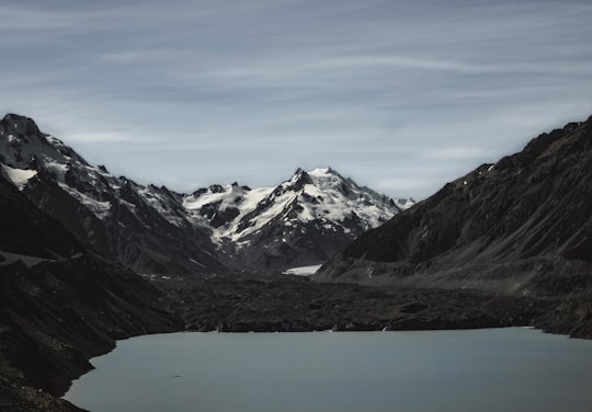

15 - Mount Tasman
17 km away
Mount Tasman is New Zealand's second highest mountain, rising to a height of 3,497 metres. It is located in the Southern Alps of the South Island, four kilometres to the north of its larger neighbour, Aoraki / Mount Cook.
View on Google Maps Book this experience
16 - Westland Tai Poutini National Park
23 km away
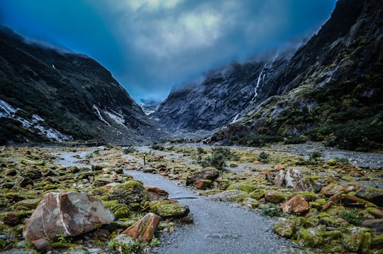
Westland Tai Poutini National Park is located on the western coast of New Zealand's South Island. Established in 1960, the centenary of the European settlement of Westland District, it covers 1,320 km², and extends from the highest peaks of the Southern Alps to a wild and remote coastline.
Learn more Book this experience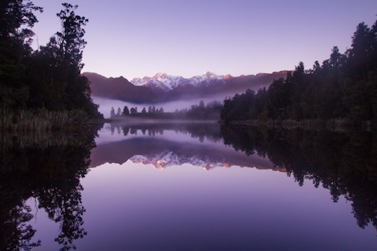
17 - Fox Glacier
28 km away
Fox Glacier / Te Moeka o Tuawe is a 13-kilometre-long temperate maritime glacier located in Westland Tai Poutini National Park on the West Coast of New Zealand's South Island.
Learn more Book this experience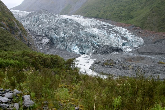
18 - Karangarua
28 km away
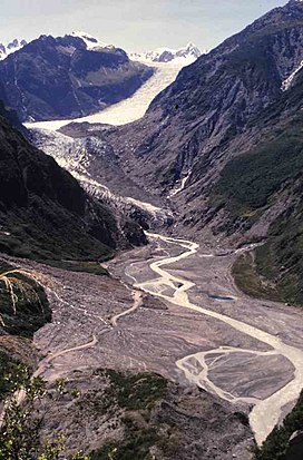
The Karangarua River is located in the west of New Zealand's South Island. It flows northwest from the Southern Alps, entering the Tasman Sea 80 kilometres northeast of Haast. The main tributary of the Karangarua is the Copland River.
Learn more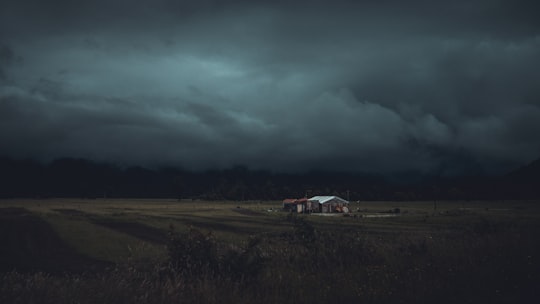
19 - Franz Josef Glacier
29 km away
Franz Josef Glacier / Kā Roimata o Hine Hukatere is a 12 km long temperate maritime glacier in Westland Tai Poutini National Park on the West Coast of New Zealand's South Island.
Learn more Book this experience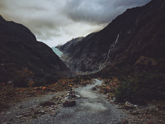

20 - Lake Matheson
31 km away
Lake Matheson is a small glacial lake in South Westland, New Zealand, near the township of Fox Glacier. It was a traditional mahinga kai for local Māori.
Learn more Book this experience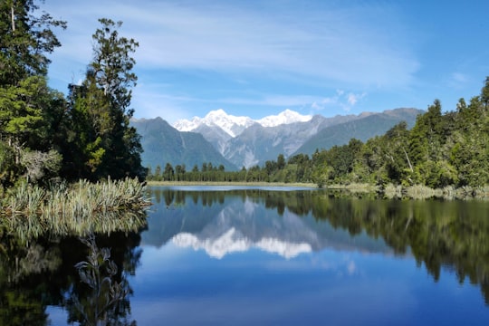
21 - Lake Alexandrina
36 km away
Lake Alexandrina is a lake located in the Mackenzie Basin of New Zealand's South Island. It lies immediately to the west of the much larger Lake Tekapo and further to the east of Lake Pukaki, located to the north of Lake Tekapo township.
Learn more Book this experience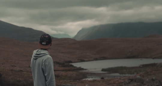
22 - Lake Pukaki
42 km away
Lake Pukaki is the largest of three roughly parallel alpine lakes running north–south along the northern edge of the Mackenzie Basin on New Zealand's South Island. The others are Lakes Tekapo and Ohau.
Learn more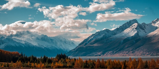
23 - Lake Tekapo
44 km away
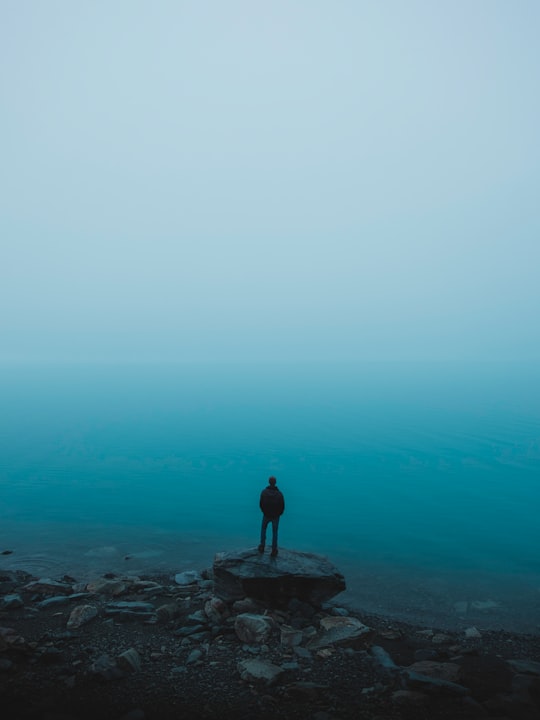
Lake Tekapo is a small township located at the southern end of the lake of the same name in the inland South Island of New Zealand. It had 558 residents according to the 2018 census, being one of five settlements in the sparsely populated Mackenzie Basin. State Highway 8 runs directly through the township – 227 kilometres from Christchurch and 256 kilometres from Queenstown. Daily shuttle services link Lake Tekapo to Christchurch and Queenstown. The lake is a popular tourist destination, and several resort hotels are located at the township. Lake Tekapo Airport is located 5 kilometres west of the town where local tourism operator Air Safaris is based. Twizel lies 60 km south of Lake Tekapo via Lake Pukaki and Burkes Pass lies 21 km west along State Highway 8.
Learn more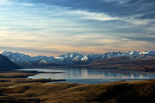

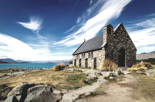
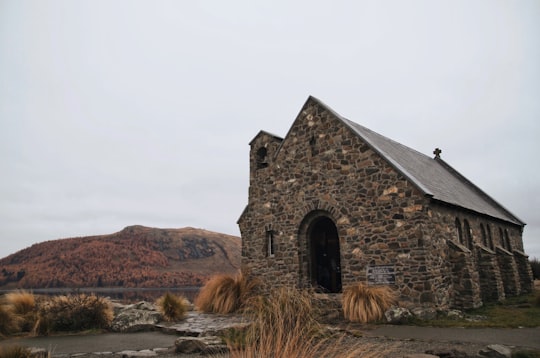
24 - Church of the Good Shepherd
46 km away
Learn more
Book Tours and Activities in Hooker Valley Track
Discover the best tours and activities around Hooker Valley Track, New Zealand and book your travel experience today with our booking partners
Learn More about Hooker Valley Track
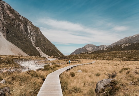
Hooker Valley Track, is a popular hiking trail in Aoraki / Mount Cook National Park in New Zealand.
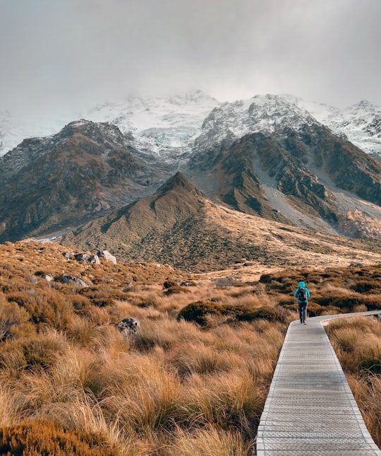
Walk on ice through rocks, to discover the Mount Cook over the fog, to go along the Hooker River, observing floating icebergs.
With only 5 kilometers, Hooker Valley Track is the smallest hiking trail of New Zealand. The track is well formed, that's why everyone can climb this one, whether they are physically fit or not. To climb it, you need aproximate 2 hours each way.
Before to organize your hiking trail, don't forget to ask about the equipment you will need for your hike to go smoothly, especially if you plan to spend this time with children.
As to wear warm clothes because, in New Zealand, the weather is not everytime warm especially near mountains.
So,the best time of year to go hiking on the Hoocker Valley Track is in Summer (december to february) because this season is pretty good in terms of weather conditions.
Frequently Asked Questions by Travelers planning a trip to Hooker Valley Track
Yes, there is a car park where you can park and it's open 24 hours a day.
No, Hooker Valley Track is not a loop. You can walk as far as you want.
Yes it's safe, there is no bears only walkers. You can probably see deers or rabbits only.
Where to Stay near Hooker Valley Track
Discover the best hotels around Hooker Valley Track, New Zealand and book your stay today with our booking partner booking.com
More Travel spots to explore around Hooker Valley Track
Click on the pictures to learn more about the places and to get directions
Discover more travel spots to explore around Hooker Valley Track
⛰️ Hill spots ⛰️ Highland spots 🌲 Nature reserve spots 🌊 Ocean spots ⛰️ Summit spots ❄️ Glacial landform spots 🏞️ Watercourse spots ⛰️ Hill station spotsTravel map of Hooker Valley Track
Explore popular touristic places around Hooker Valley Track
