Travel Guide of Cable Bay in New Zealand by Influencers and Travelers
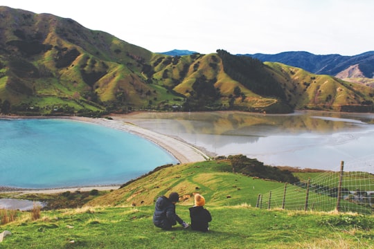
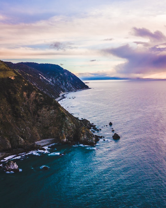
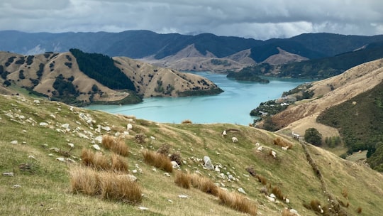
Rotokura / Cable Bay is a bay and small settlement 18 kilometres north-east of Nelson in New Zealand. The settlement at the head of the bay is at the southern end of a thin strip of land or causeway connecting Pepin Island with the South Island.
The Best Things to Do and Visit in Cable Bay
TRAVELERS TOP 10 :
- Glenduan
- Boulder Bank
- Mountain biking | Nelson, New Zealand
- Nelson
- Haulashore Island
- Tahunanui Beach
- Tahunanui
- Rabbit Island
- Havelock
- Riwaka
1 - Glenduan
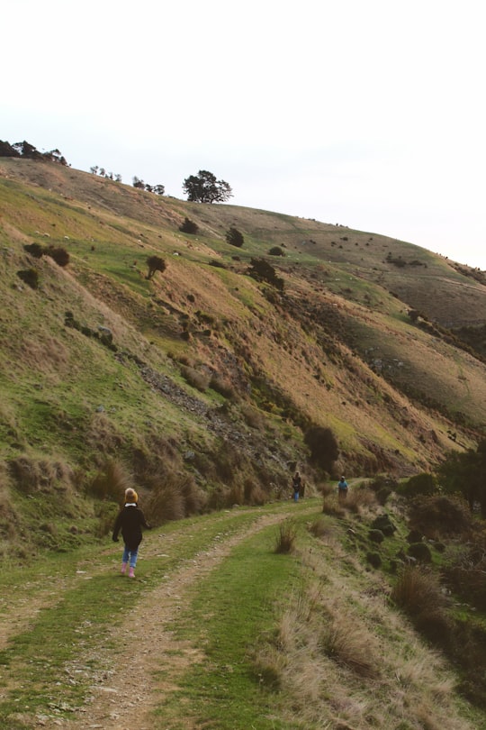
Glenduan is a small township lying to the north of Nelson, New Zealand. It lies on the shore of Tasman Bay between the northern end of Boulder Bank and Pepin Island. The population was 477 in the 2013 census. This was an increase of 27 people since the 2006 Census.
Learn more
2 - Boulder Bank
13 km away
The Boulder Bank is a very unusual naturally formed landform in Nelson, New Zealand. It is a 13 kilometre long stretch of rocky substrate which begins at the Mackay Bluff and ends at the Cut of the Nelson Harbour.
View on Google Maps Book this experience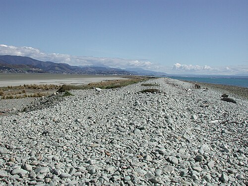
3 - Mountain biking | Nelson, New Zealand
16 km away
Enjoy a guided or self-guided bike ride from Nelson to Mapua on the Great Taste Trail. Cycle beside coastal wetland, visit wineries, breweries, cafes, take the cycle ferry from Rabbit Island to Mapua.
Book this experience
4 - Nelson
16 km away
Nelson is a city on the eastern shores of Tasman Bay. Nelson is the oldest city in the South Island and the second-oldest settled city in New Zealand – it was established in 1841 and was proclaimed a city by royal charter in 1858.
Learn more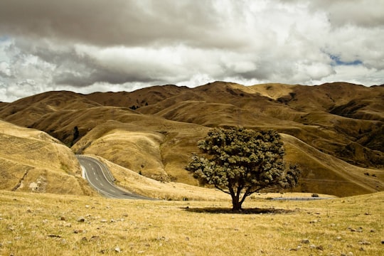
5 - Haulashore Island
18 km away
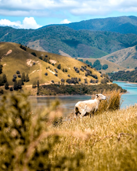
Haulashore Island is a small island in Tasman Bay, near Nelson, New Zealand. Formed in 1901, it was at one time a part of Boulder Bank. There is a narrow channel between the island and Arrow Rock.
Learn more Book this experience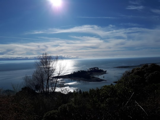

6 - Tahunanui Beach
19 km away
Tāhunanui Beach is the main beach in the city of Nelson, New Zealand. It lies on the shore of Tasman Bay on the northern edge of a peninsula which stretches west from the suburb of Tāhunanui.
Learn more Book this experience

7 - Tahunanui
20 km away
Tāhunanui is one of the suburbs of Nelson, New Zealand. It lies between Port Nelson and Nelson Airport and is the site of the main beach for Nelson with a shoreline on the Tasman Bay.
Learn more
8 - Rabbit Island
25 km away
Moturoa / Rabbit Island is a small island that lies across the southernmost part of Tasman Bay, on the northern coast of New Zealand's South Island. The long narrow island runs east–west for 8 kilometres, and covers 15 km². It lies opposite the mouth of the Waimea River, 7 kilometres to the west of Richmond.
Learn more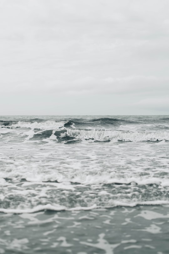
9 - Havelock
34 km away
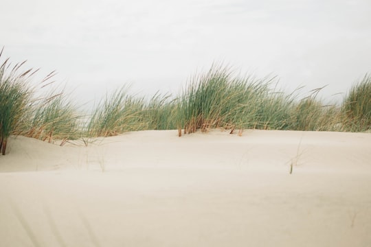
Havelock is a small town in the Marlborough Region of New Zealand, at the head of Pelorus Sound / Te Hoiere, one of the Marlborough Sounds, and at the mouth of the Pelorus and Kaituna Rivers State Highway 6 from Nelson to Blenheim passes through the town.
Learn more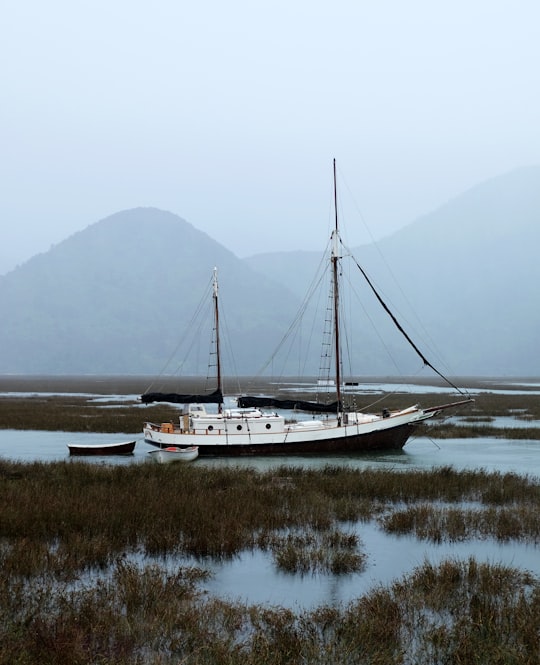
10 - Riwaka
35 km away
Riwaka is a small settlement in the Tasman District of New Zealand's South Island. It lies beside Tasman Bay, five kilometres north of Motueka, and close to the mouth of the Riuwaka River. As of 2006 it had a population of 549 people.
Learn more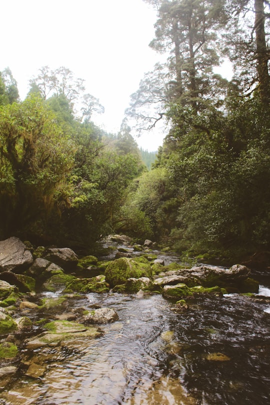
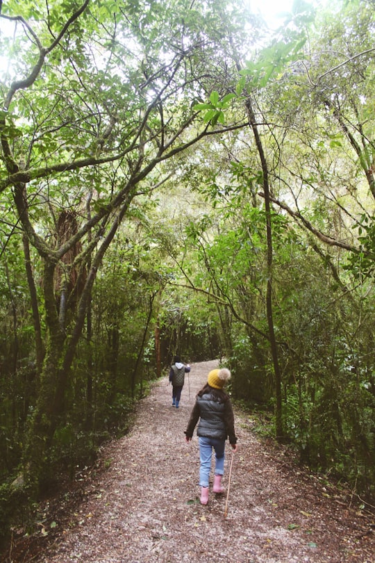
11 - Abel Tasman National Park
44 km away
Abel Tasman National Park is a New Zealand national park located between Golden Bay and Tasman Bay at the north end of the South Island.
Learn more Book this experience
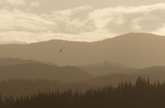
Disover the best Instagram Spots around Cable Bay here
Book Tours and Activities in Cable Bay
Discover the best tours and activities around Cable Bay, New Zealand and book your travel experience today with our booking partners
Pictures and Stories of Cable Bay from Influencers
3 pictures of Cable Bay from Rich Hay, Te Pania Noonan, Jeremy Rasmussen and other travelers
Plan your trip in Cable Bay with AI 🤖 🗺
Roadtrips.ai is a AI powered trip planner that you can use to generate a customized trip itinerary for any destination in New Zealand in just one clickJust write your activities preferences, budget and number of days travelling and our artificial intelligence will do the rest for you
👉 Use the AI Trip Planner
Why should you visit Cable Bay ?
Travel to Cable Bay if you like:
⛰️ Cliff 🏞️ ReservoirWhere to Stay in Cable Bay
Discover the best hotels around Cable Bay, New Zealand and book your stay today with our booking partner booking.com
More Travel spots to explore around Cable Bay
Click on the pictures to learn more about the places and to get directions
Discover more travel spots to explore around Cable Bay
⛰️ Cliff spots ⛰️ Hill spotsTravel map of Cable Bay
Explore popular touristic places around Cable Bay
