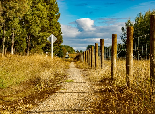
Travel Guide of Arapuni in New Zealand by Influencers and Travelers
Arapuni is a rural town centre on the Waikato river in the South Waikato District of New Zealand. The population on census night 2006 was 2,145 usual residents, slightly down from 2,163 in 2001 and 2,211 in 1996.
The Best Things to Do and Visit in Arapuni
TRAVELERS TOP 6 :
1 - Waikato River
27 km away
The Waikato River is the longest river in New Zealand, running for 425 kilometres through the North Island. It rises in the eastern slopes of Mount Ruapehu, joining the Tongariro River system and flowing through Lake Taupo, New Zealand's largest lake.
Learn more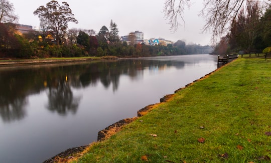
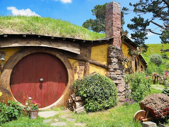
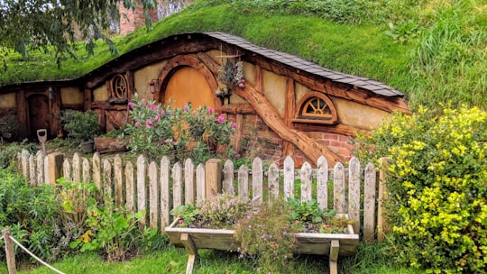
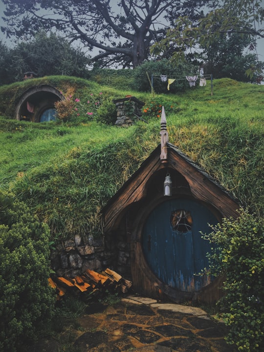
2 - Hobbiton Movie Set
31 km away
Learn more
3 - The Green Dragon™ Inn
33 km away
Learn more
4 - Kaimai
36 km away
The Kaimai Range is a mountain range in the North Island of New Zealand. It is part of a series of ranges, with the Coromandel Range to the north and the Mamaku Ranges to the south.
Learn more Book this experience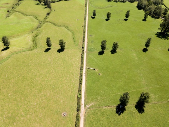
5 - Te Kuiti
47 km away
Te Kuiti is a town in the north of the King Country region of the North Island of New Zealand. It lies at the junction of State Highways 3 and 30 and on the North Island Main Trunk railway, 80 kilometres south of Hamilton.
Learn more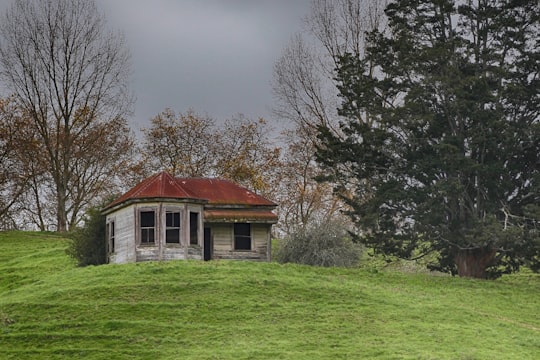
6 - Hamilton Gardens
49 km away
Hamilton Gardens is a public garden park in the south of Hamilton owned and managed by Hamilton City Council in New Zealand. The 54-hectare park is based on the banks of the Waikato River and includes enclosed gardens, open lawns, a lake, a nursery, a convention centre and the Hamilton East Cemetery.
Learn more Book this experience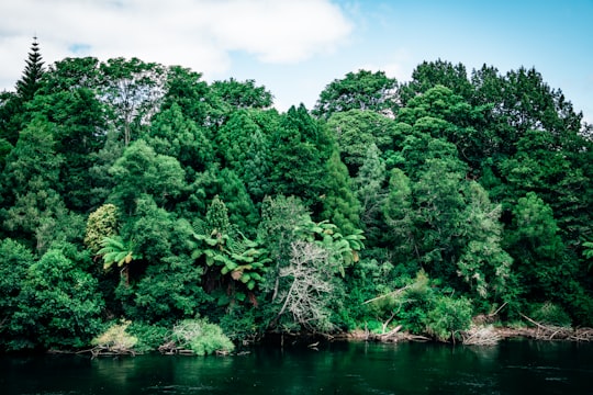
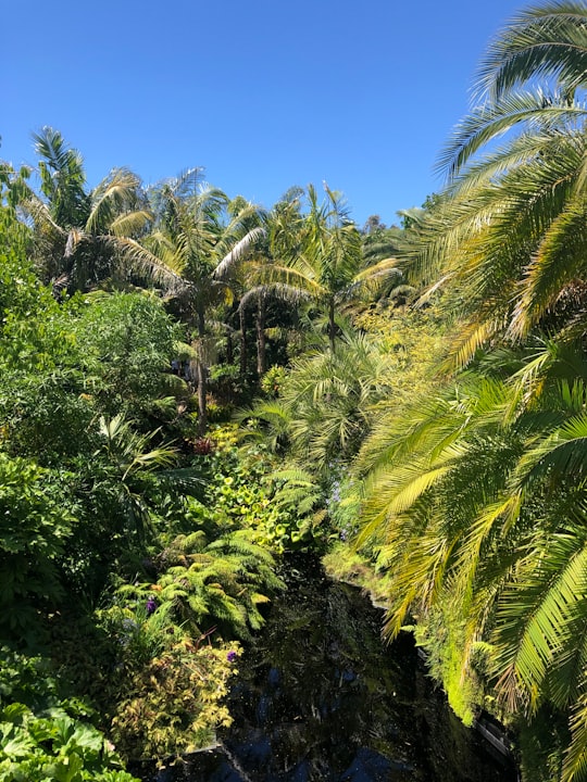
Disover the best Instagram Spots around Arapuni here
Book Tours and Activities in Arapuni
Discover the best tours and activities around Arapuni, New Zealand and book your travel experience today with our booking partners
Pictures and Stories of Arapuni from Influencers
2 pictures of Arapuni from Callum Hill, , and other travelers
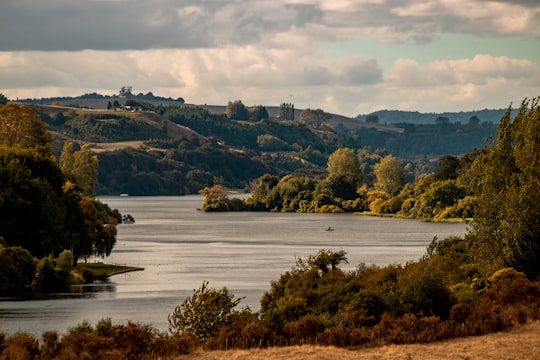
- Close up view of the Waikato River NZ near Arapuni Dam ...click to read more
- Experienced by @Callum Hill | ©Unsplash
Plan your trip in Arapuni with AI 🤖 🗺
Roadtrips.ai is a AI powered trip planner that you can use to generate a customized trip itinerary for any destination in New Zealand in just one clickJust write your activities preferences, budget and number of days travelling and our artificial intelligence will do the rest for you
👉 Use the AI Trip Planner
Why should you visit Arapuni ?
Travel to Arapuni if you like:
🌲 Nature reserve 🏞️ LochWhere to Stay in Arapuni
Discover the best hotels around Arapuni, New Zealand and book your stay today with our booking partner booking.com
More Travel spots to explore around Arapuni
Click on the pictures to learn more about the places and to get directions
Discover more travel spots to explore around Arapuni
🏞️ Loch spots 🌲 Nature reserve spotsTravel map of Arapuni
Explore popular touristic places around Arapuni
