Travel Guide of Ulvenhout in Netherlands by Influencers and Travelers
Ulvenhout is a village in the Dutch province of North Brabant. It is located in the municipality of Breda. The village was divided by the A58 motorway. The southern part belongs to the municipality of Alphen-Chaam and is called Ulvenhout AC.
The Best Things to Do and Visit in Ulvenhout
TRAVELERS TOP 10 :
1 - Breda
Breda is a city and municipality in the southern part of the Netherlands, located in the province of North Brabant. The name derived from brede Aa and refers to the confluence of the rivers Mark and Aa.
Learn more
2 - Tilburg
20 km away
Tilburg is a city in the Netherlands, in the southern province of North Brabant. With a population of 217,595, it is the second-largest municipality in North Brabant, and the sixth largest in the Netherlands.
Learn more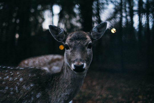
3 - Loonse en Drunense Duinen
24 km away
De Loonse en Drunense Duinen National Park is a national park situated in the south of the Netherlands, between the cities of Tilburg, Waalwijk and 's-Hertogenbosch. It has been designated as a national park since 2002.
View on Google Maps Book this experience
4 - Drunen
28 km away
Drunen is a town with a population of 18,216 in the municipality of Heusden in the southern Netherlands. Drunen is part of a region called the Langstraat which is historically known for its leather and shoe industry.
Learn more
5 - Zuidplein
43 km away
Zuidplein is an above-ground metro station in the south of the city of Rotterdam, Netherlands. It is part of Rotterdam Metro lines D and E.
Learn more
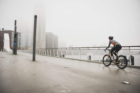
6 - Erasmusbrug
45 km away
Erasmusbrug is a combined cable-stayed and bascule bridge completed in 1996 crossing the Nieuwe Maas in the centre of Rotterdam, connecting the north and south parts of this city, second largest in the Netherlands.
Learn more Book this experience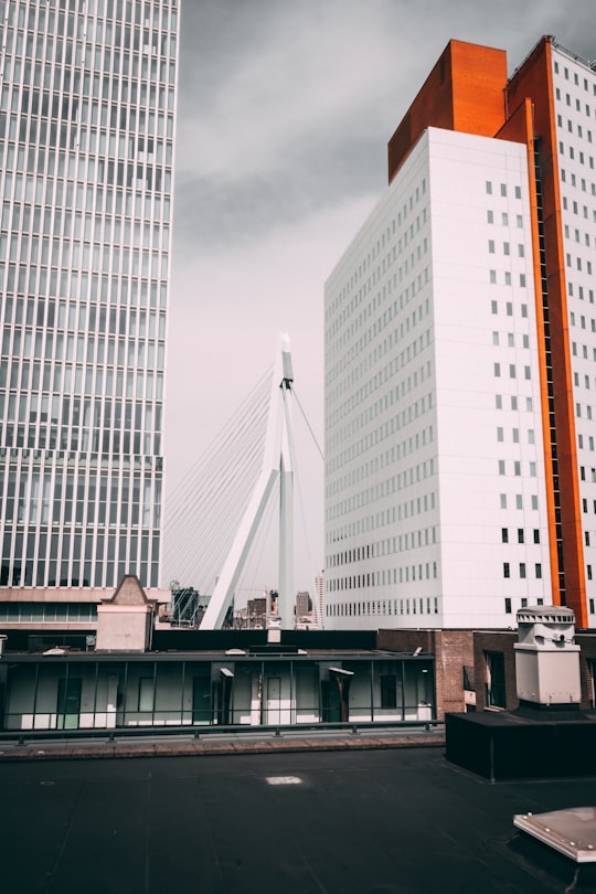

7 - Katendrecht
45 km away
Katendrecht is a former village in the Dutch province of South Holland. It is now a neighbourhood of Rotterdam, on the south bank of the Nieuwe Maas. Nowadays it is the name of the peninsula which lies between the Rijnhaven and the Maashaven. Katendrecht was a separate municipality between 1817 and 1874, when it merged with Charlois. The neighbourhood covers an area of 1,18 km² with 4,760 inhabitants.
Learn more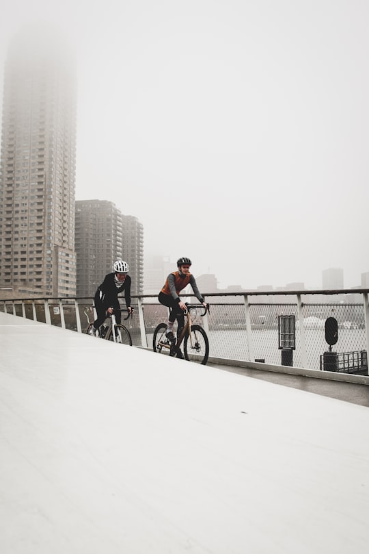
8 - Kop van Zuid
45 km away
Kop van Zuid is a neighborhood of Rotterdam, The Netherlands, located on the south bank of the Nieuwe Maas opposite the center of town.
Learn more
9 - Wereldmuseum
46 km away
The Wereldmuseum Rotterdam is an ethnographic museum, situated Willemskade in Rotterdam, Netherlands. The museum was founded in 1883 and shows more than 1800 ethnographic objects from various cultures in Asia, Oceania, Africa, the Americas and the Islamic heritage.
Learn more Book this experience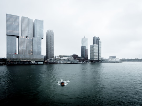
10 - Erasmus Bridge
46 km away
Erasmusbrug is a combined cable-stayed and bascule bridge, construction began in 1986 and was completed in 1996. It crosses the Nieuwe Maas in the centre of Rotterdam, connecting the north and south parts of this city, second largest in the Netherlands.
Learn more Book this experience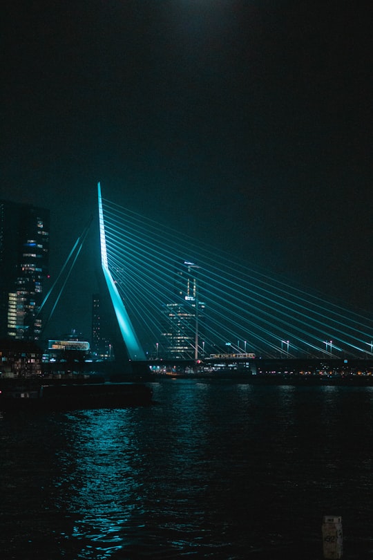
11 - Witte Huis
46 km away
The Witte Huis or White House is a building and National Heritage Site in Rotterdam, Netherlands, built in 1898 in the Art Nouveau style. The building is 43 m tall, with 10 floors. It was also the first hoogbouw in Europe. The building is listed as a Rijksmonument.
Learn more Book this experience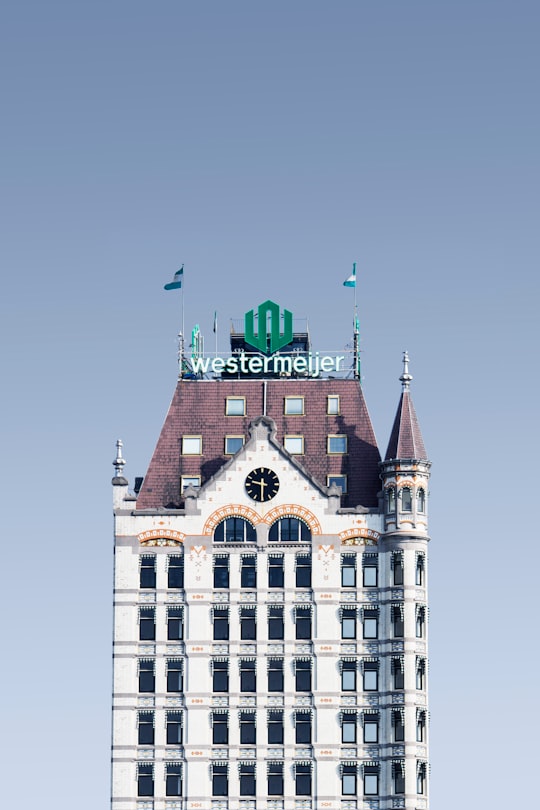
Disover the best Instagram Spots around Ulvenhout here
Book Tours and Activities in Ulvenhout
Discover the best tours and activities around Ulvenhout, Netherlands and book your travel experience today with our booking partners
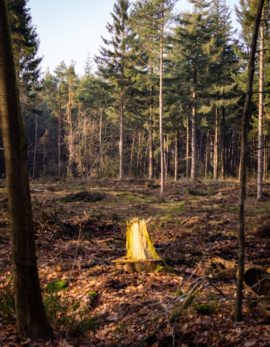
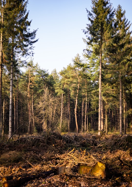
Pictures and Stories of Ulvenhout from Influencers
5 pictures of Ulvenhout from Peter Hall, , and other travelers
- Dutch woodland in winter light ...click to read more
- Experienced by @Peter Hall | ©Unsplash

Plan your trip in Ulvenhout with AI 🤖 🗺
Roadtrips.ai is a AI powered trip planner that you can use to generate a customized trip itinerary for any destination in Netherlands in just one clickJust write your activities preferences, budget and number of days travelling and our artificial intelligence will do the rest for you
👉 Use the AI Trip Planner
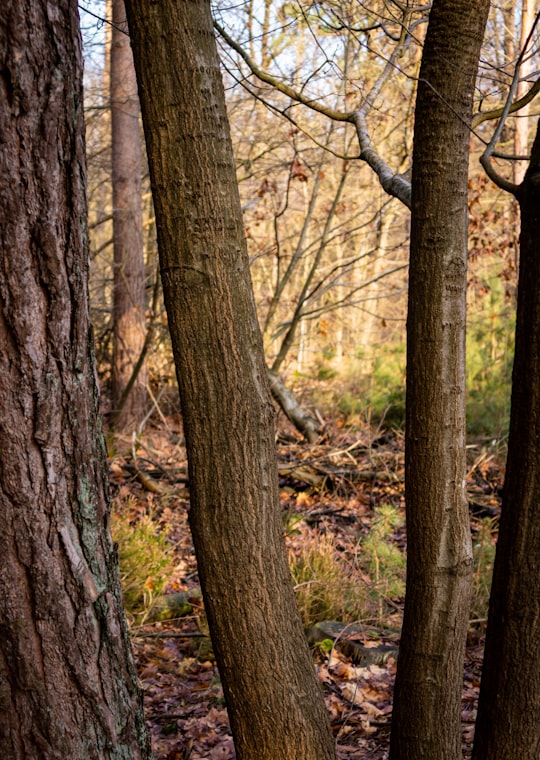
Why should you visit Ulvenhout ?
Travel to Ulvenhout if you like:
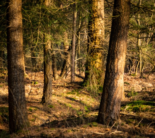
🌲 ForestWhere to Stay in Ulvenhout
Discover the best hotels around Ulvenhout, Netherlands and book your stay today with our booking partner booking.com
More Travel spots to explore around Ulvenhout
Click on the pictures to learn more about the places and to get directions
Discover more travel spots to explore around Ulvenhout
🌲 Forest spotsTravel map of Ulvenhout
Explore popular touristic places around Ulvenhout