Travel Guide of Kagbeni in Nepal by Influencers and Travelers
Kagbeni is a village in the Baragubg Muktikshetra rural municipality of Mustang District of the Himalayas, in Nepal, located in the valley of the Kali Gandaki River. At the time of the 2011 Nepal census it had a population of 555 people.
The Best Things to Do and Visit in Kagbeni
TRAVELERS TOP 10 :
- Kagbeni, Mustang
- Marpha
- Hiking | Muktinath
- Annapurna Circuit
- Thorong La
- Tilicho Lake
- Annapurna Conservation Area
- Annapurna
- Manang
- Ghandruk
1 - Kagbeni, Mustang
Kagbeni is a village in the Baragubg Muktikshetra rural municipality of Mustang District of the Himalayas, in Nepal, located in the valley of the Kali Gandaki River. At the time of the 2011 Nepal census it had a population of 555 people.
Learn more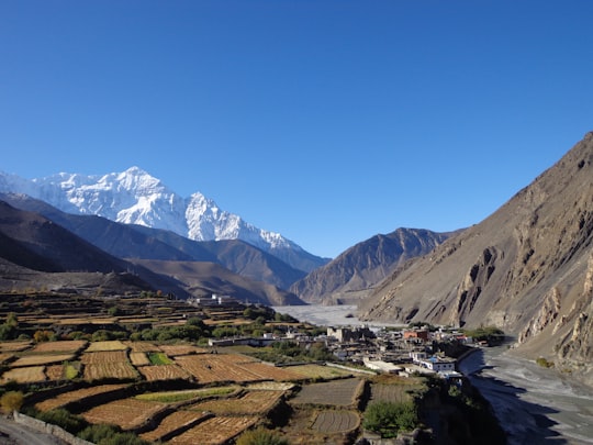
2 - Marpha
14 km away
Marpha is a village development committee in Mustang District in the Dhawalagiri Zone of northern Nepal. At the time of the 1991 Nepal census it had a population of 1630 people living in 434 individual households.
Learn more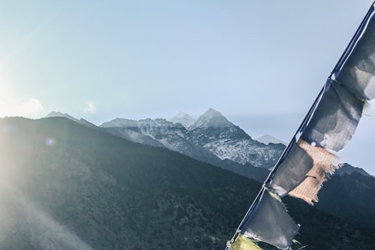
3 - Hiking | Muktinath
8 km away
Discover the stunning natural beauty of Lower Mustang on a 3-day tour from Pokhara. Visit the famous Muktinath Temple, explore the apple gardens of Marpha, and relax in the natural hot springs.
Book this experience
4 - Annapurna Circuit
16 km away
The Annapurna Circuit is a trek within the mountain ranges of central Nepal. The total length of the route varies between 160–230 km, depending on where motor transportation is used and where the trek is ended.
Learn more Book this experience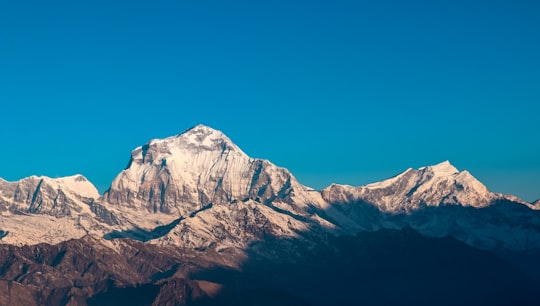

5 - Thorong La
16 km away
Thorong La or Thorung La is a mountain pass with an elevation of 5,416 metres above sea level in the Damodar Himal, north of the Annapurna Himal, in central Nepal. Khatung Kang and Yakawa Kang are the mountains forming Thorong La.
View on Google Maps Book this experience
6 - Tilicho Lake
18 km away
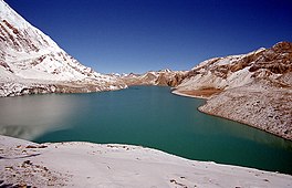
Tilicho Lake is a lake located in the Manang district of Nepal, 55 kilometres as the crow flies from the city of Pokhara. It is situated at an altitude of 4,919 metres in the Annapurna range of the Himalayas and is sometimes called the highest lake for its size in the world, even though there are lakes at higher altitude even in Nepal, and larger, higher lakes in Tibet.
Learn more Book this experience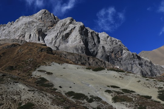
7 - Annapurna Conservation Area
19 km away
Annapurna Conservation Area is Nepal's largest protected area covering 7,629 km² in the Annapurna range of the Himalayas. It ranges in elevation from 790 m to the peak of Annapurna I at 8,091 m.
Learn more Book this experience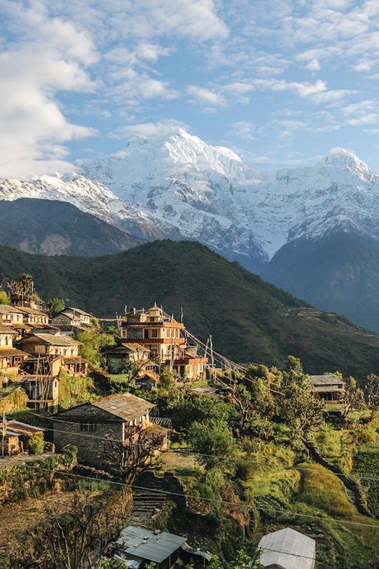

8 - Annapurna
27 km away
Annapurna is a massif in the Himalayas in north-central Nepal that includes one peak over 8,000 metres, thirteen peaks over 7,000 metres, and sixteen more over 6,000 metres.
Learn more Book this experience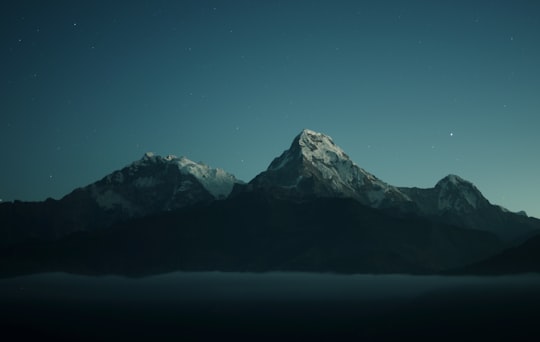
9 - Manang
30 km away
Manang is a town in the Manang District of Nepal. It is located at 28°40'0N 84°1'0E with an altitude of 3,519 metres. According to the preliminary result of the 2011 Nepal census it has a population of 6,527 people living in 1,495 individual households.
Learn more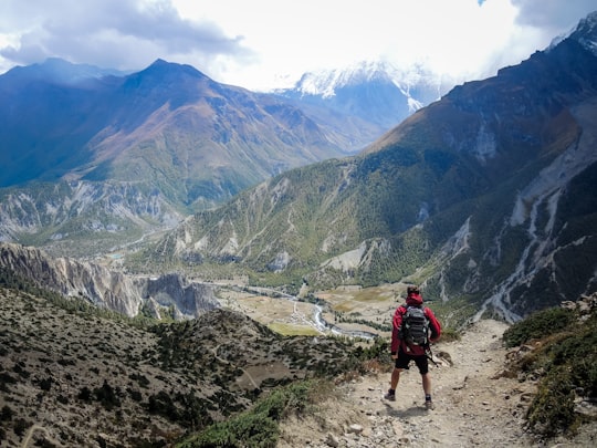
10 - Ghandruk
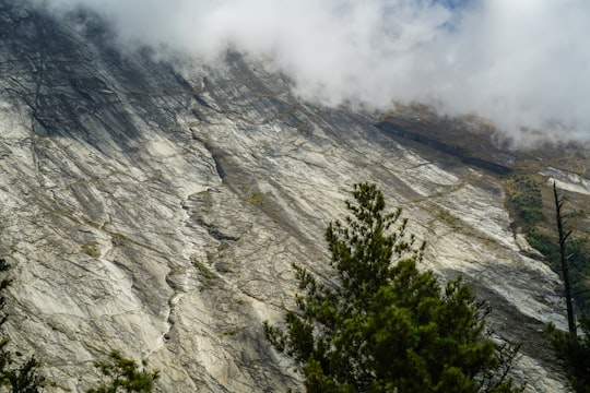
42 km away
Ghandruk is a Village Development Committee in the Kaski District of the Gandaki Province of Nepal. Situated at a distance of 32 km north-west to Pokhara, the village is readily accessible by public buses and private taxis from the provincial headquarter.
Learn more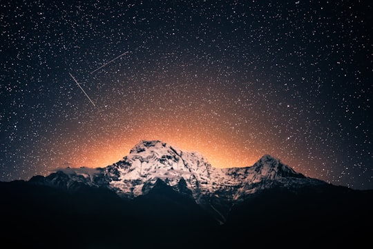
11 - Mardi himal
42 km away
Mardi Himal is a 5,587-metre peak beneath the much more prominent Machapuchare in the Annapurna region of Nepal, from which it is separated by a 5,200 metres col. It was first summited in 1961 by Basil Goodfellow.
Learn more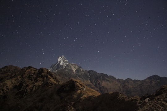
12 - Lo Manthang
42 km away
Lomanthang is a rural municipality in Mustang district in Gandaki Province of western Nepal. It is located at the northern end of the district, bordering the Tibet Autonomous Region of China to the north and Dalome rural municipality of Mustang in the south.
Learn more
Disover the best Instagram Spots around Kagbeni here
Book Tours and Activities in Kagbeni
Discover the best tours and activities around Kagbeni, Nepal and book your travel experience today with our booking partners
Pictures and Stories of Kagbeni from Influencers
Picture from Raju Gurung who have traveled to Kagbeni
Plan your trip in Kagbeni with AI 🤖 🗺
Roadtrips.ai is a AI powered trip planner that you can use to generate a customized trip itinerary for any destination in Nepal in just one clickJust write your activities preferences, budget and number of days travelling and our artificial intelligence will do the rest for you
👉 Use the AI Trip Planner
Why should you visit Kagbeni ?
Travel to Kagbeni if you like:
⛰️ Summit ⛰️ Mountain range ❄️ Glacial landform ⛰️ Hill station ️🏜️ Badlands ❄️ Ski mountaineeringWhere to Stay in Kagbeni
Discover the best hotels around Kagbeni, Nepal and book your stay today with our booking partner booking.com
More Travel spots to explore around Kagbeni
Click on the pictures to learn more about the places and to get directions
Discover more travel spots to explore around Kagbeni
⛰️ Hill station spotsTravel map of Kagbeni
Explore popular touristic places around Kagbeni