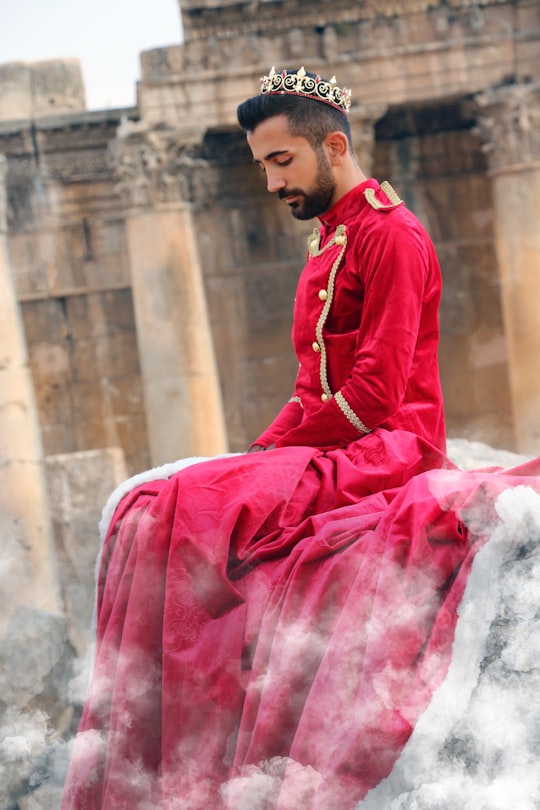
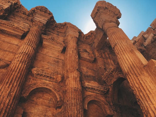
Travel Guide of Baalbek in Lebanon by Influencers and Travelers
Baalbek is a city located east of the Litani River in Lebanon's Beqaa Valley, about 85 km northeast of Beirut. It is the capital of Baalbek-Hermel Governorate. In Greek and Roman times Baalbek was also known as Heliopolis.
The Best Things to Do and Visit in Baalbek
TRAVELERS TOP 10 :
- Baalbeck Temple
- Temple of Venus
- Temple of Bacchus
- Bcharré
- Zahlé
- Laqlouq
- Mount Lebanon
- Ehden
- Kadisha Valley
- Douma
1 - Baalbeck Temple
Learn more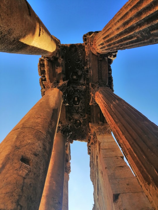
2 - Temple of Venus
Learn more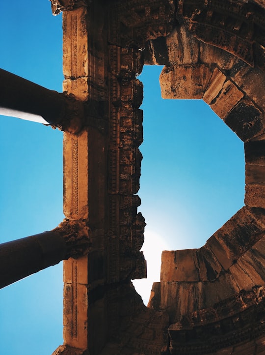
3 - Temple of Bacchus
Learn more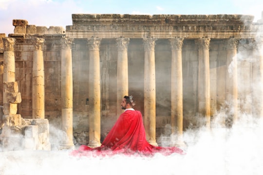
4 - Bcharré
33 km away
Bsharri. It is located in the Bsharri District of the North Governorate in Lebanon. Bsharri is the town of the only remaining and preserved original Cedars of God (Cedrus libani), and is the birthplace of the famous poet, painter and sculptor Khalil Gibran who now has a museum in the town to honour him.
Learn more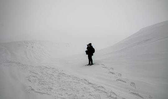
5 - Zahlé
34 km away
Zahlé is the capital and the largest city of Beqaa Governorate, Lebanon. With around 150,000 inhabitants, it is the fourth largest city in Lebanon after Beirut, Tripoli, and Sidon and the fourth largest taking the whole urban area.
Learn more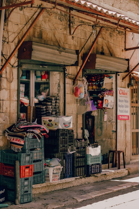
6 - Laqlouq
35 km away
Laqlouq, also spelled Laklouk and also known as ′Arab Laqlouq is a small mountainous village in mountainous area in the Byblos District of Keserwan-Jbeil Governorate, Lebanon. It is located 69 kilometers northeast of Beirut.
Learn more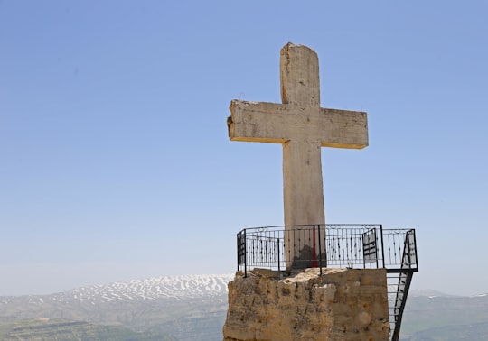
7 - Mount Lebanon
38 km away
Mount Lebanon Governorate is one of the nine governorates of Lebanon. Its capital is Baabda. This governorate is named after the mountainous region of Mount Lebanon and, except for the small Beirut Governorate which it surrounds, spans the stretch of the Mediterranean coast between Keserwan-Jbeil Governorate and South Governorate.
Learn more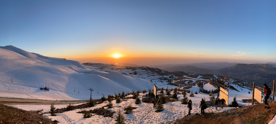
8 - Ehden
38 km away
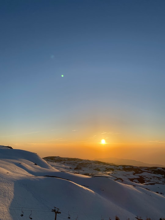
Ehden is a mountainous town in the heart of the northern mountains of Lebanon and on the southwestern slopes of Mount Makmal in the Mount Lebanon Range. Its residents are the people of Zgharta, as it is within the Zgharta District.
Learn more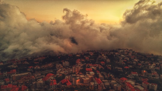
9 - Kadisha Valley
39 km away
Kadisha Valley, also romanized as the Qadisha Valley and also known as the Kadisha Gorge or Wadi Kadisha, is a gorge that lies within the Bsharri and Zgharta Districts of the North Governorate of Lebanon.
Learn more Book this experience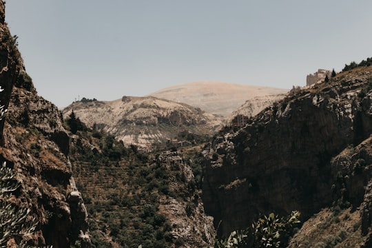
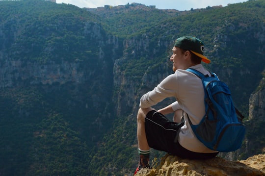
10 - Douma
40 km away
Douma is a village in Lebanon located 80 km from Beirut, 30 km from Byblos and 43 km from Tripoli. Douma is a administratively part of Batroun District and is known for its location in a valley surrounded by mountains. It stands at an altitude of 1150 m.
Learn more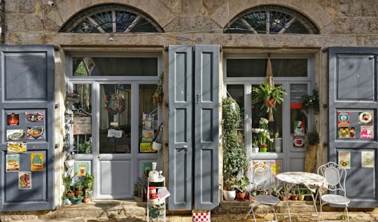
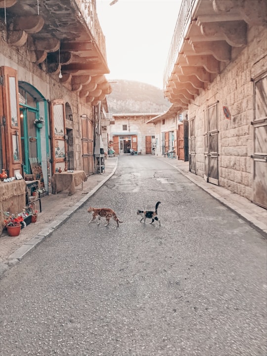
11 - Baskinta
40 km away
Baskinta is a Lebanese village situated at an altitude ranging from 1250 metres above sea level and climbs up to approximately 1800 meters of height at Qanat Bakish, making it one of the highest villages of Lebanon.
Learn more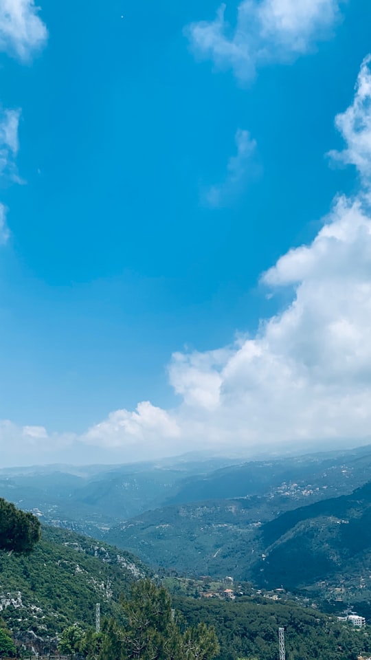
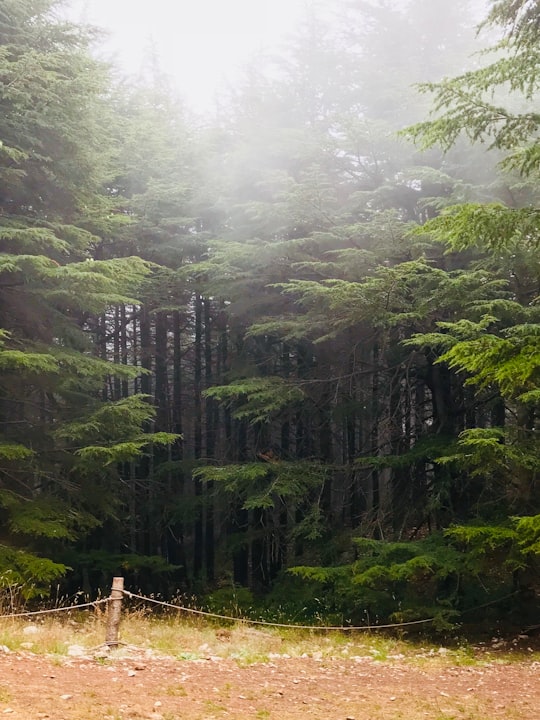
12 - Annaya
44 km away
Kfar Baal, also known as Annaya is a municipality in the Byblos District of Keserwan-Jbeil Governorate, Lebanon. It is 55 kilometers north of Beirut. Kfar Baal has an average elevation of 920 meters above sea level and a total land area of 303 hectares. There were six companies with more than five employees operating in the village as of 2008. Its inhabitants are predominantly Maronite Catholics.
Learn more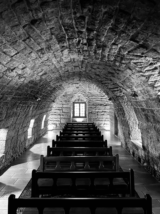
13 - Miziara
45 km away
Miziara is a town located in the Zgharta District in the North Governorate of Lebanon. The village is home to Our Lady of Miziara, Mother of Mercies, St Elias Shrines And to Hotel Miziara the village's first hotel.
Learn more
Disover the best Instagram Spots around Baalbek here
Book Tours and Activities in Baalbek
Discover the best tours and activities around Baalbek, Lebanon and book your travel experience today with our booking partners
Pictures and Stories of Baalbek from Influencers
5 pictures of Baalbek from Lea Khreiss, Dorsa Masghati, Charbel Aoun and other travelers
Plan your trip in Baalbek with AI 🤖 🗺
Roadtrips.ai is a AI powered trip planner that you can use to generate a customized trip itinerary for any destination in Lebanon in just one clickJust write your activities preferences, budget and number of days travelling and our artificial intelligence will do the rest for you
👉 Use the AI Trip Planner
Why should you visit Baalbek ?
Travel to Baalbek if you like:
🗼 Landmark 🏰 TempleWhere to Stay in Baalbek
Discover the best hotels around Baalbek, Lebanon and book your stay today with our booking partner booking.com
More Travel spots to explore around Baalbek
Click on the pictures to learn more about the places and to get directions
Discover more travel spots to explore around Baalbek
🏰 Temple spots 🏰 Archaeological site spots 🗼 Landmark spotsTravel map of Baalbek
Explore popular touristic places around Baalbek
