Travel Guide of Atlit in Israel by Influencers and Travelers
Atlit, is a coastal town located south of Haifa, Israel. The community is in the Hof HaCarmel Regional Council in the Haifa District of Israel. Off the coast of Atlit is a submerged Neolithic village. Atlit was also a Crusader outpost, the Château Pèlerin, which fell to the Mamluks in 1291. During their rule, in the 14th century, it became home to a large concentration of Oirat Mongols. During early Ottoman rule, in the 16th century, it was recorded in tax registers as a port of call and a farm.
The Best Things to Do and Visit in Atlit
TRAVELERS TOP 10 :
- Haifa
- Mount Carmel
- Shore Excursions in Haifa
- Bahá'í Gardens
- Zichron Yaakov
- Archaeology Tours in Haifa
- Stella Maris Monastery
- Caesarea
- Shvil Israel
- Caesarea National Park
1 - Haifa
10 km away
Haifa is the third-largest city in Israel – after Jerusalem and Tel Aviv – with a population of 285,316 in 2019. The city of Haifa forms part of the Haifa metropolitan area, the second- or third-most populous metropolitan area in Israel.
Learn more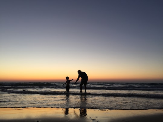

2 - Mount Carmel
12 km away
Mount Carmel, also known in Arabic as Mount Mar Elias, is a coastal mountain range in northern Israel stretching from the Mediterranean Sea towards the southeast. The range is a UNESCO biosphere reserve.
View on Google Maps Book this experience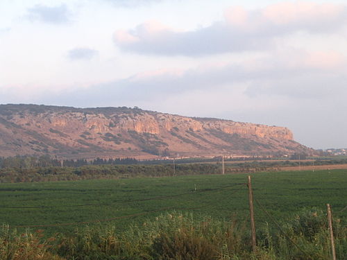
3 - Shore Excursions in Haifa
11 km away
This Full-day tour is especially for travelers who want to see what Muscat can offer. This is a cultural tour including Wadi Shab, the Bimmah Sinkhole, and the amazing white beach of Fins Beach.
Book this experience
4 - Bahá'í Gardens
13 km away
Learn more
5 - Zichron Yaakov
15 km away
Zikhron Ya'akov is a town in Israel, 35 kilometres south of Haifa, and part of the Haifa District. It is located at the southern end of the Carmel mountain range overlooking the Mediterranean Sea, near the coastal highway.
Learn more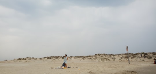
6 - Archaeology Tours in Haifa
11 km away
You will see the entire area from Israeli center to the Lebanon's border. I will show you the historical and archeological sites connected to the world history, heritage and culture. Must see places. Ancient, medieval crusader history of the second crusaders state and its capital in Akko. I show our beautiful nature of the Mediterranean. We can eat in the one of the 20 best world restaurants for sea products - UriBuri, in Akko (Trip Adviser index, 18 place) These surrounding and places, are world famous. I will do my best to show you our country, and leave the real impression of our life here. I am very known experienced guide in Israel I have knowledge and education in Middle East, Christianity and Judaism. I love to show our country and pass this love to my tourists. Many people are listening to me weekly by Radio and Internet. I have a weekly Radio Program about Israel in US and you can join this group of my listeners and tourists. You are not my tourists only, you are my guests.
Book this experience
7 - Stella Maris Monastery
16 km away
The Stella Maris Monastery or the Monastery of Our Lady of Mount Carmel for monks is a 19th-century Discalced Carmelite monastery located on the slopes of Mount Carmel in Haifa, Israel.
Learn more Book this experience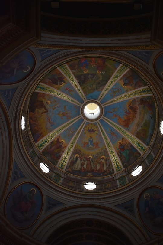

8 - Caesarea
21 km away
Caesarea, Keysariya or Qesarya, often simplified to Keisarya, and Qaysaria, is a town in north-central Israel, which inherits its name and much of its territory from the ancient city of Caesarea Maritima.
Learn more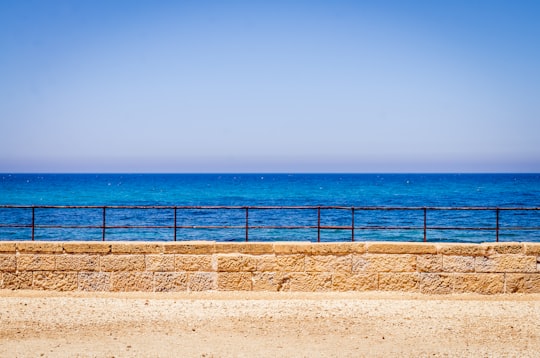
9 - Shvil Israel
22 km away
The Israel National Trail, is a hiking path that was inaugurated in 1995. The trail crosses the entire country of Israel. Its northern end is at Dan, near the Lebanese border in the far north of the country, and it extends to Eilat at the southernmost tip of Israel on the Red Sea, a length of 1,015 km.
Learn more Book this experience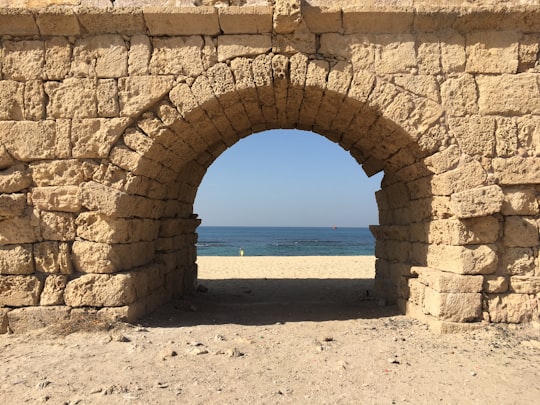
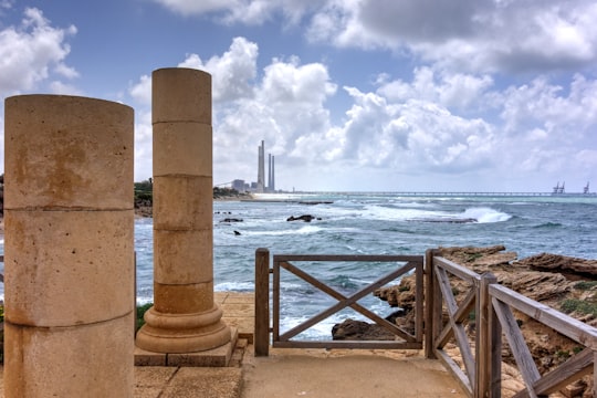
10 - Caesarea National Park
23 km away
Learn more
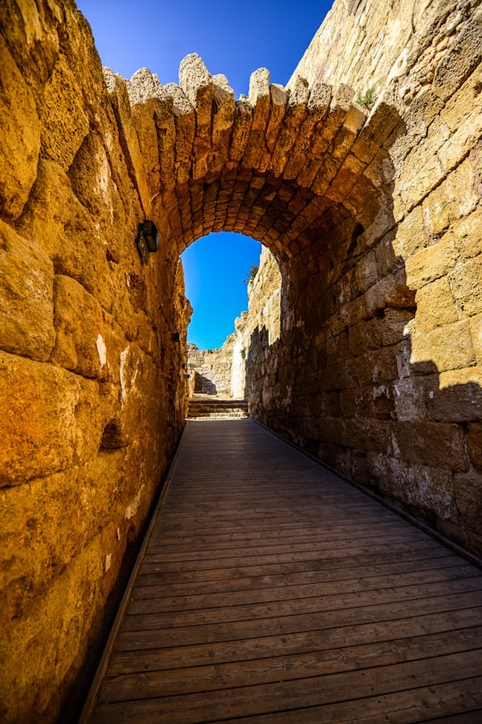
11 - Michmoret
34 km away
Mikhmoret is a moshav in central Israel. Located on the coast of the Mediterranean Sea around nine kilometres north of Netanya, it falls under the jurisdiction of Hefer Valley Regional Council. In 2019 it had a population of 1,403.
Learn more

12 - Nazareth
34 km away
Nazareth is the largest city in the Northern District of Israel. Nazareth is known as "the Arab capital of Israel". In 2019 its population was 77,445. The inhabitants are predominantly Arab citizens of Israel, of whom 69% are Muslim and 30.9% Christian.
Learn more
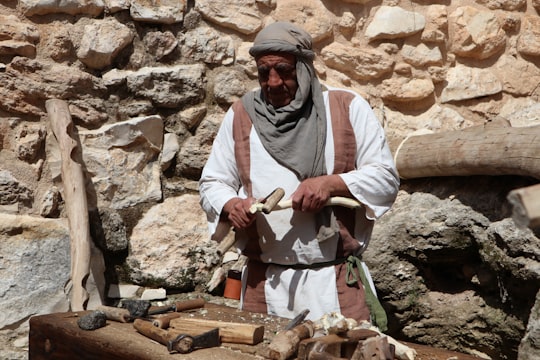
13 - Mount Precipice
34 km away
Mount Precipice, also known as Mount of Precipitation, Mount of the Leap of the Lord and Mount Kedumim is located just outside the southern edge of Nazareth, 2.0 km southwest of the modern city center.
Learn more Book this experience
Disover the best Instagram Spots around Atlit here
Book Tours and Activities in Atlit
Discover the best tours and activities around Atlit, Israel and book your travel experience today with our booking partners
Pictures and Stories of Atlit from Influencers
3 pictures of Atlit from Felix Tchverkin, , and other travelers
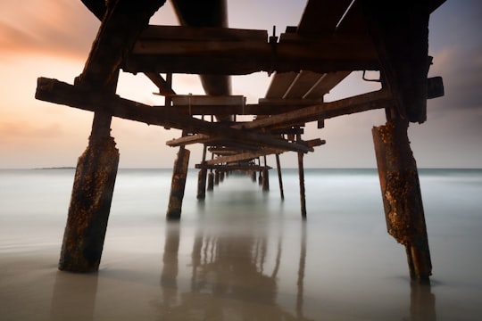
- Atlit beach - Israel 90 sec daytime long exposure with B+W ND1000 filter ...click to read more
- Experienced by @Felix Tchverkin | ©Unsplash
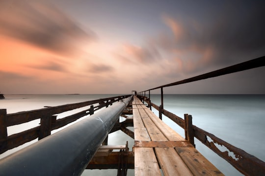
- Atlit beach - Israel 90 sec daytime long exposure with B+W ND1000 filter ...click to read more
- Experienced by @Felix Tchverkin | ©Unsplash
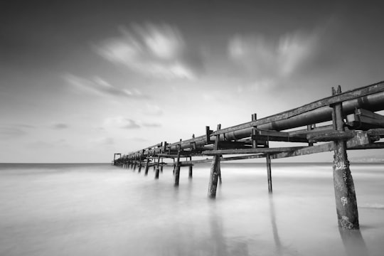
- Atlit beach - Israel 30 sec daytime long exposure with B+W ND1000 filter ...click to read more
- Experienced by @Felix Tchverkin | ©Unsplash
Plan your trip in Atlit with AI 🤖 🗺
Roadtrips.ai is a AI powered trip planner that you can use to generate a customized trip itinerary for any destination in Israel in just one clickJust write your activities preferences, budget and number of days travelling and our artificial intelligence will do the rest for you
👉 Use the AI Trip Planner
Why should you visit Atlit ?
Travel to Atlit if you like:
🚢 PierWhere to Stay in Atlit
Discover the best hotels around Atlit, Israel and book your stay today with our booking partner booking.com
More Travel spots to explore around Atlit
Click on the pictures to learn more about the places and to get directions
Discover more travel spots to explore around Atlit
🚢 Pier spotsTravel map of Atlit
Explore popular touristic places around Atlit