The Best Shore Photo Spots around Donegal in Ireland
Explore Shore pictures of Donegal with the travel spots on a map
13 Shore Spots of Donegal on a Map
Pictures of Shore on the interacive map of Donegal
Shore Spots and Pictures around Donegal
Discover popular destinations in Donegal with their travel guides
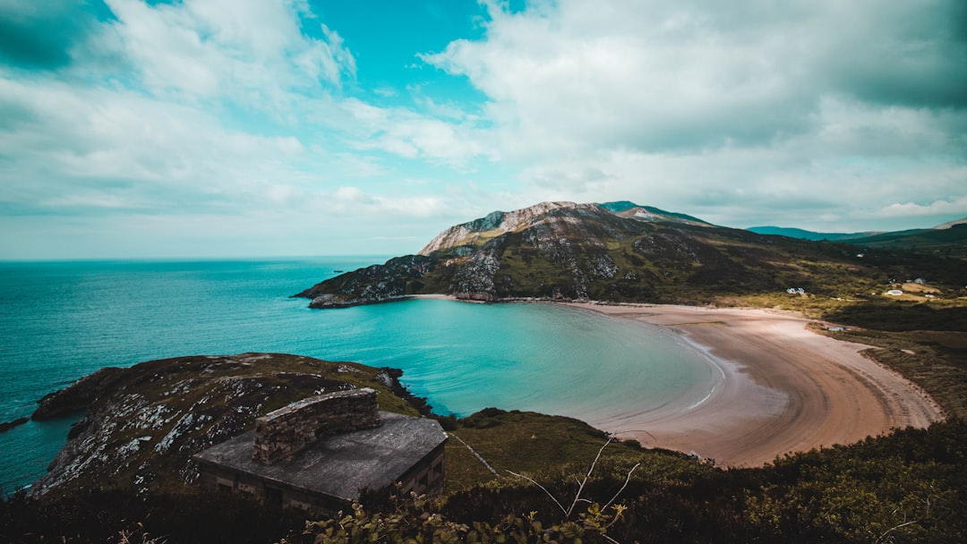
Fort Dunree
Read the Travel guide View on Google Maps
Malin Head Signal Station
Read the Travel guide View on Google Maps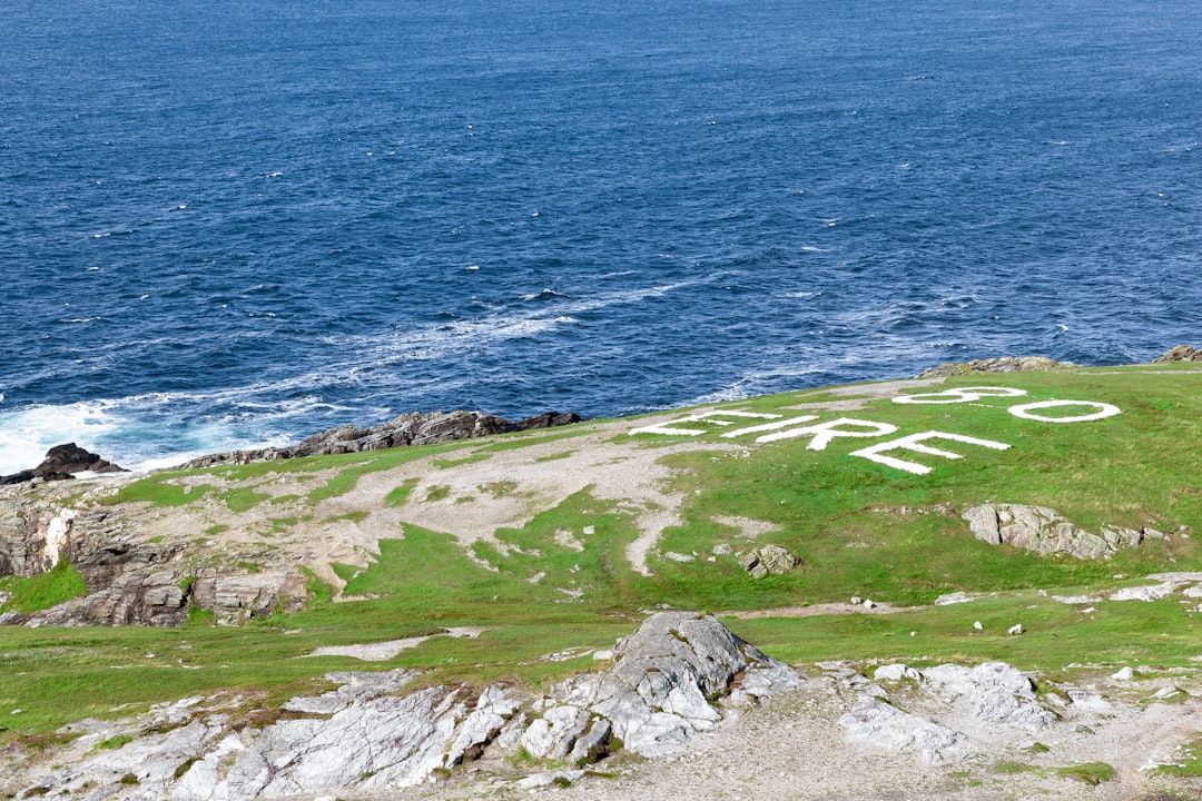
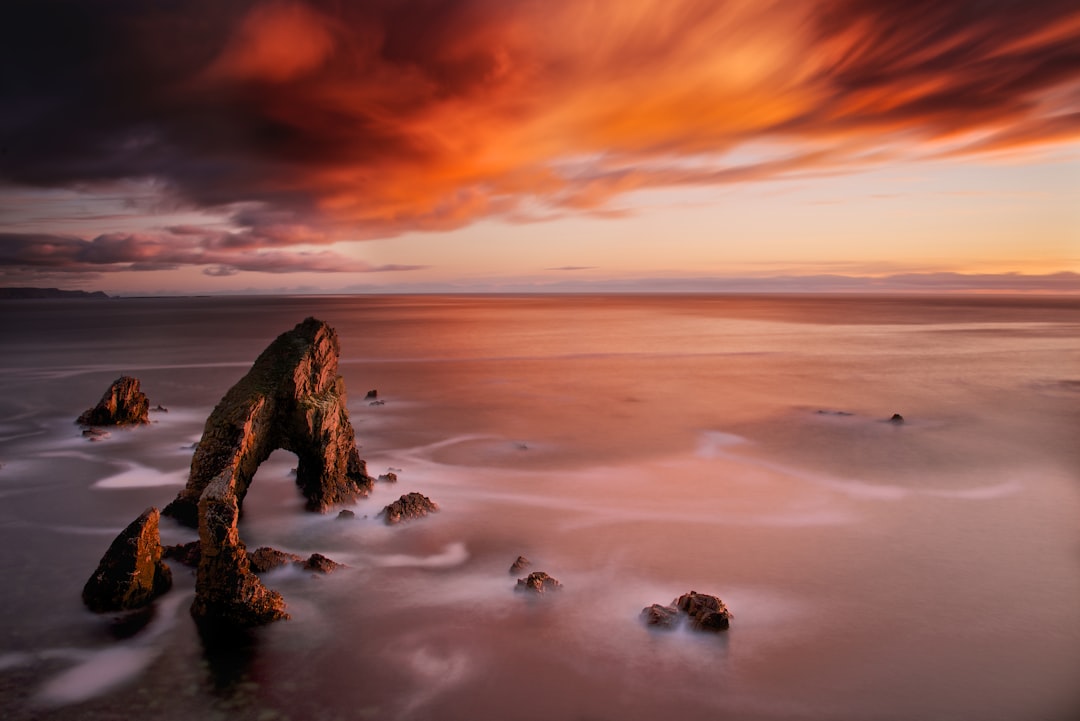
Slieve League
Read the Travel guide View on Google Maps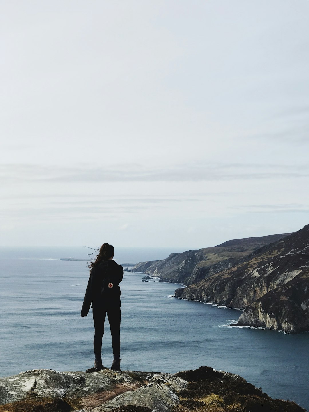
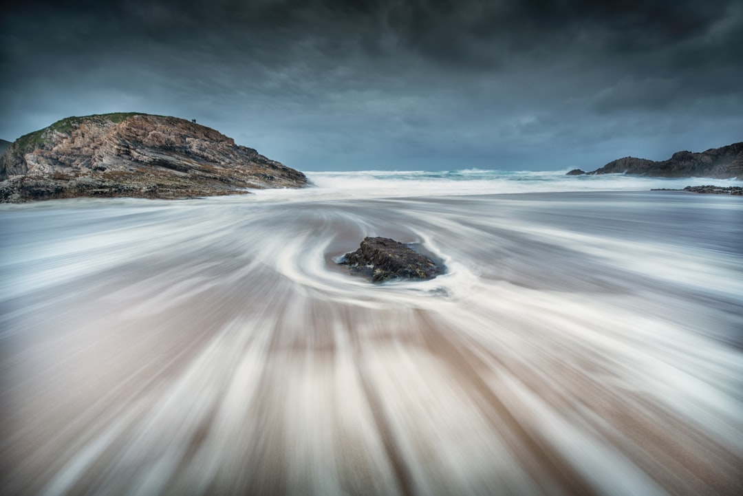
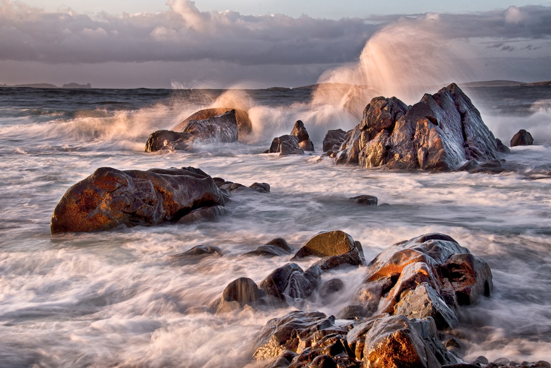
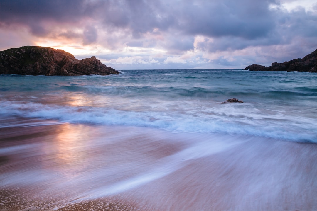
Boyeeghter Bay
17 km away from Donegal
Read the Travel guide View on Google Maps
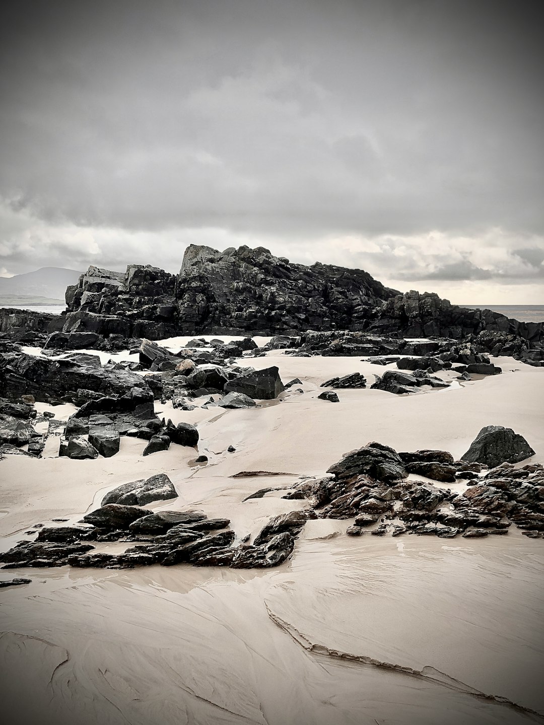
Malin Head
24 km away from Donegal
Read the Travel guide View on Google Maps
Magheraroarty
44 km away from Donegal
Read the Travel guide View on Google Maps
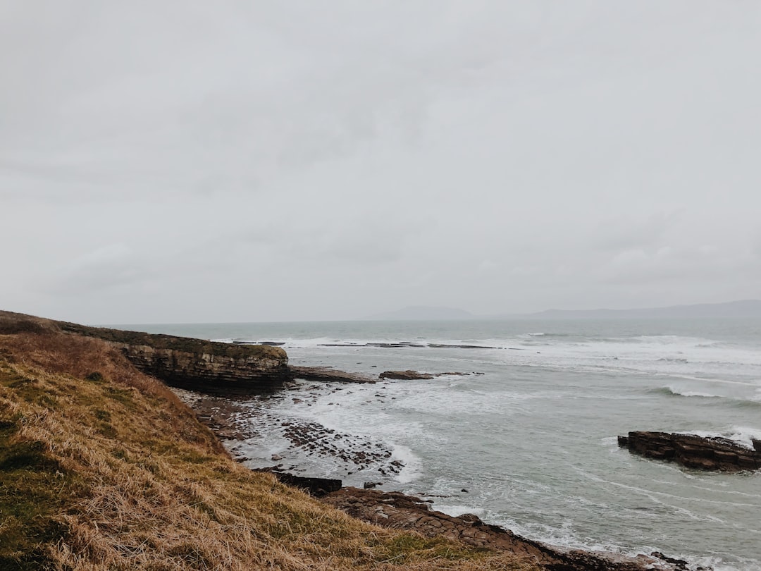
Bloody Foreland
47 km away from Donegal
Read the Travel guide View on Google Maps
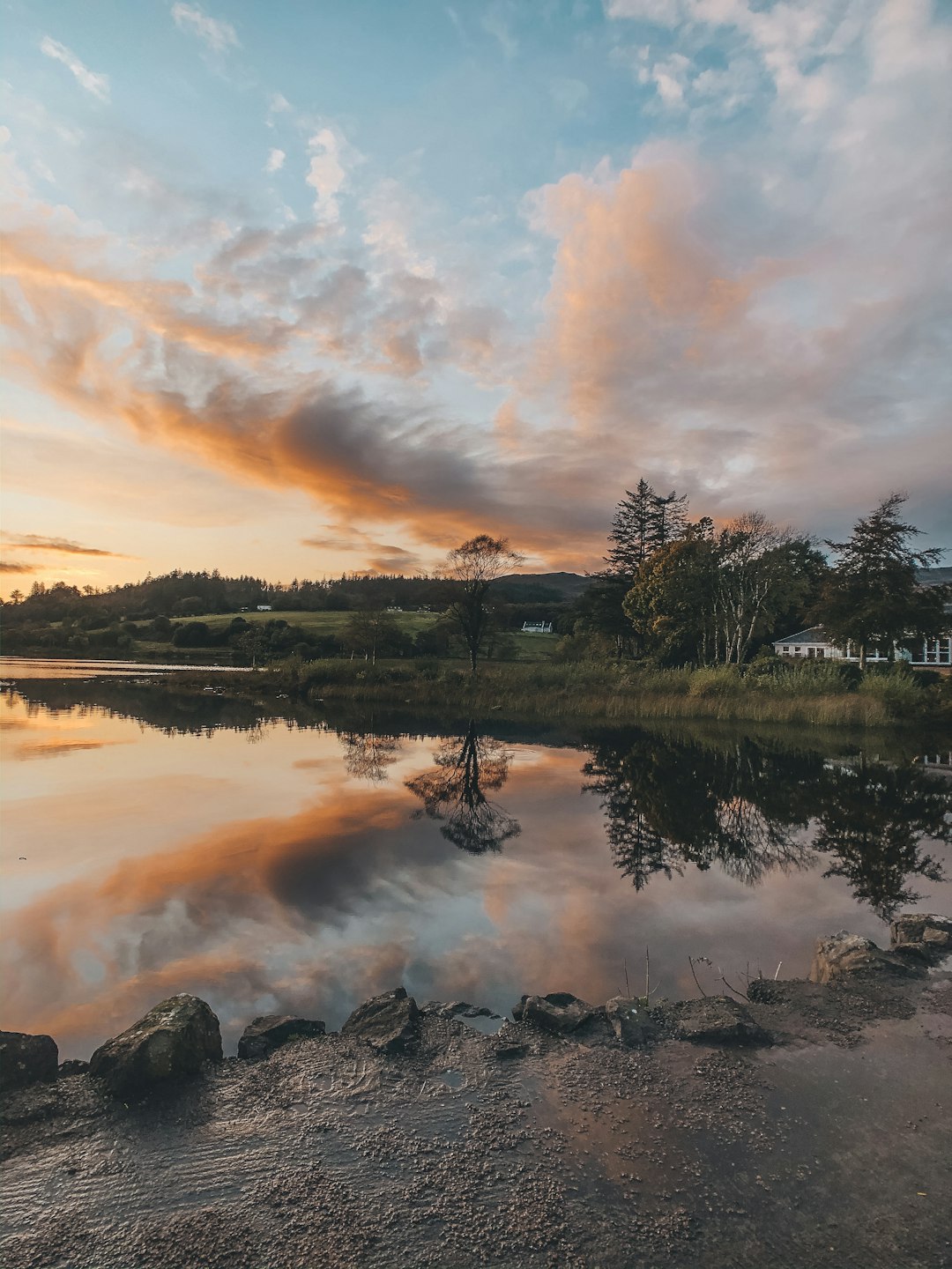
The Lodge at Harvey's Point
64 km away from Donegal
Read the Travel guide View on Google Maps
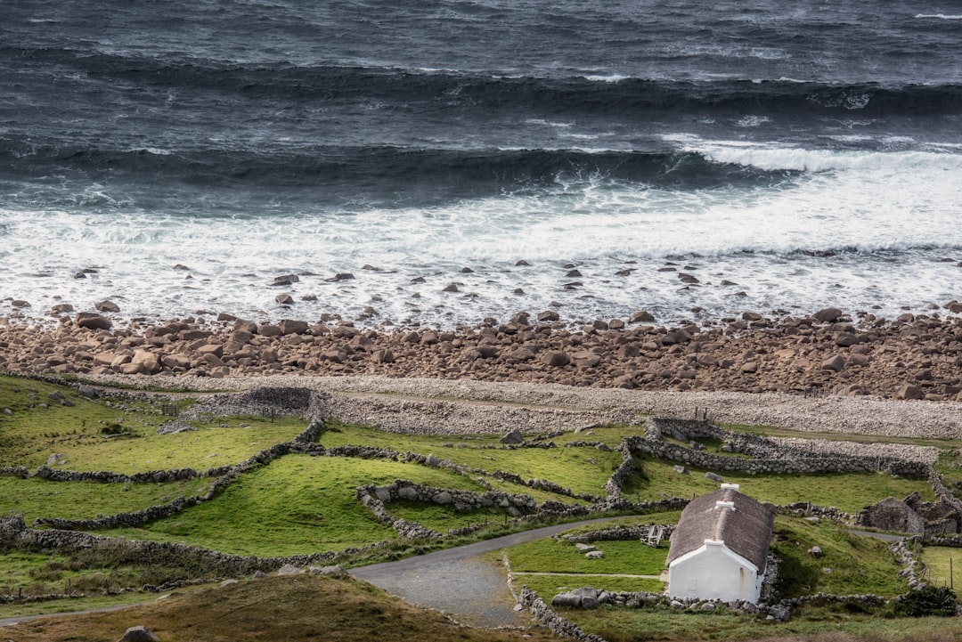
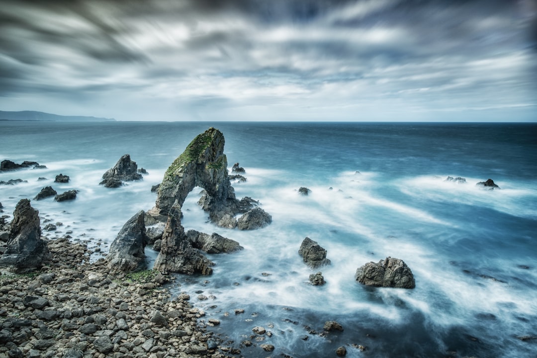
Crohy Head Sea Arch
65 km away from Donegal
Read the Travel guide View on Google Maps
County Donegal
70 km away from Donegal
Read the Travel guide View on Google Maps
Kiltoorish
74 km away from Donegal
Read the Travel guide View on Google Maps
Cappagh
95 km away from Donegal
Read the Travel guide View on Google Maps
10 Breffini Rd
99 km away from Donegal
Read the Travel guide View on Google Maps
Book your Travel Experience in Donegal
Discover the best tours and activities in Donegal and book your travel experience today with our booking partners
Learn More about Donegal
Find Hotels in Donegal
Discover the best hotels around Donegal, Ireland and book your stay today with our booking partner booking.com