Travel Guide of Crana River in Ireland by Influencers and Travelers
Buncrana is a town in County Donegal, Ireland. It is beside Lough Swilly on the Inishowen peninsula, 23 kilometres northwest of Derry and 43 kilometres north of Letterkenny.
The Best Things to Do and Visit in Crana River
TRAVELERS TOP 10 :
- Buncrana
- Fort Dunree
- Coasteering in Derry
- Lough Swilly
- Inch Island
- Stand up Paddle in Derry
- Grianan of Aileach
- Fanad
- Ramelton
- Fanad Head Lighthouse
1 - Buncrana
6 km away
Buncrana is a town in County Donegal, Ireland. It is beside Lough Swilly on the Inishowen peninsula, 23 kilometres northwest of Derry and 43 kilometres north of Letterkenny.
Learn more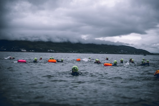
2 - Fort Dunree
9 km away
Fort Dunree is a coastal defence fortification located on the west side of the Inishowen peninsula, County Donegal, Ireland.
Learn more Book this experience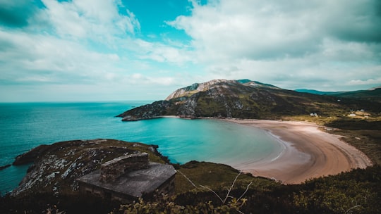

3 - Coasteering in Derry
17 km away
Welcome to the Wild Atlantic Way, the long stretch of coast running along the west coast of Northern Ireland and Ireland. This is the place to be for coasteering. Far and Wild offers trips leaving from Derry. The coastline here is truly off the beate...
Book this experience
4 - Lough Swilly
Lough Swilly in Ireland is a glacial fjord or sea inlet lying between the western side of the Inishowen Peninsula and the Fanad Peninsula, in County Donegal. Along with Carlingford Lough and Killary Harbour it is one of three glacial fjords in Ireland.
Learn more Book this experience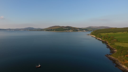
5 - Inch Island
8 km away
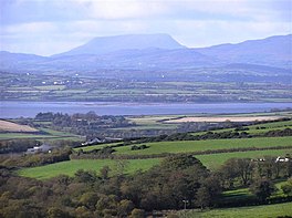
Inch Island is in Inishowen, County Donegal, Ireland. The island is in Lough Swilly, a sea lough on the northern coast of Ireland.
View on Google Maps Book this experience
6 - Stand up Paddle in Derry
17 km away
Take a paddle through the heart of the historic city of Derry-Londonderry in this unique and stress free take on sightseeing. Seeing the city via SUP (Stand Up Paddle) gives you the chance to view your surroundings from a completely different angle. ...
Book this experience
7 - Grianan of Aileach
13 km away
The Grianan of Aileach, sometimes anglicised as Greenan Ely or Greenan Fort, is a hillfort atop the 244 metres high Greenan Mountain at Inishowen in County Donegal, Ireland.
Learn more Book this experience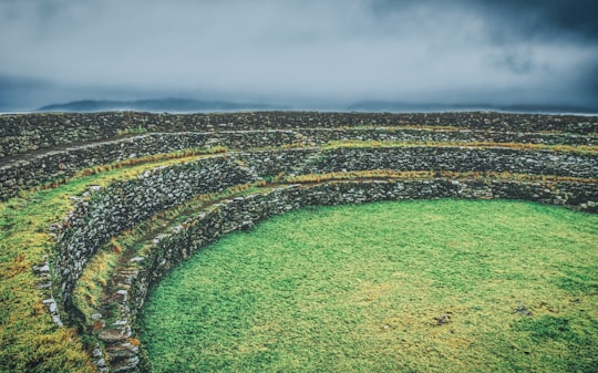

8 - Fanad
19 km away
Fanad is a peninsula that lies between Lough Swilly and Mulroy Bay on the north coast of County Donegal, Ireland. The origins of the name Fanad are lost in time thought there is some speculation that the name derives from an old Gaelic word Fana for "sloping ground".
View on Google Maps Book this experience
9 - Ramelton
22 km away
Ramelton, also Rathmelton, is a town in County Donegal, Ireland. As of 2016, its population was 1,266.
Learn more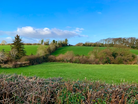
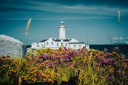
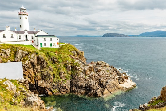
10 - Fanad Head Lighthouse
22 km away
Learn more
11 - Murder Hole Beach
25 km away
Boyeeghter Strand or Boyeeghter Bay, commonly known as Murder Hole Beach, is a beach situated on the Melmore head peninsula beside Downings in County Donegal, Ireland. It has cliffs, hills, dunes, and small caves. When the tide is in there are two beaches, which merge into one when the tide is out. There is a small tidal island roughly 15 meters from the shore, called Rough Island.
Learn more Book this experience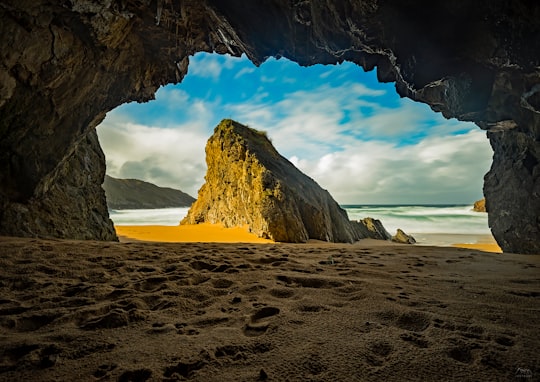
12 - Malin Head Signal Station
26 km away
Learn more
13 - Malin Head
28 km away
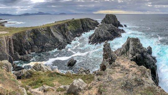
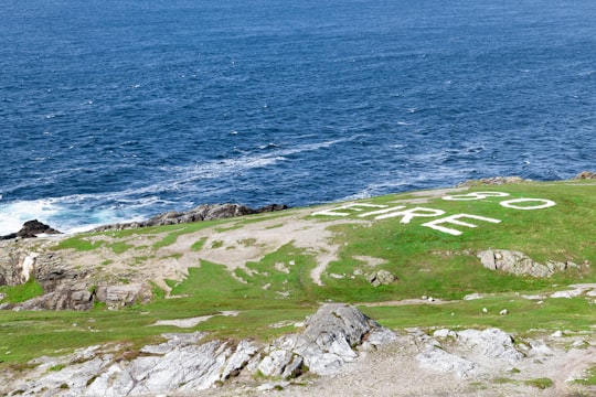
Malin Head is located on the Inishowen Peninsula, County Donegal, Ireland and is the most northerly point of mainland Ireland. The northernmost tip is the headland called Dúnalderagh and is located at latitude 55.38ºN.
Learn more Book this experience
14 - Letterkenny
32 km away
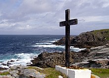
Letterkenny, nicknamed "the Cathedral Town", is the largest and most populous town in County Donegal, Ireland. It lies on the River Swilly in East Donegal and has a population of 19,274.
Learn more
Disover the best Instagram Spots around Crana River here
Book Tours and Activities in Crana River
Discover the best tours and activities around Crana River, Ireland and book your travel experience today with our booking partners
Pictures and Stories of Crana River from Influencers
2 pictures of Crana River from Danny Nee, , and other travelers
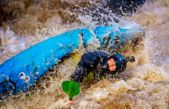
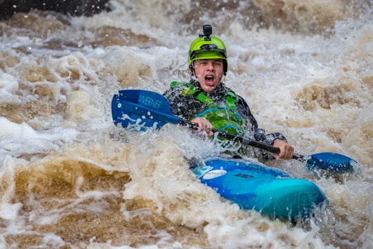
- White water kayaking on the Crana River. ...click to read more
- Experienced by @Danny Nee | ©Unsplash
Plan your trip in Crana River with AI 🤖 🗺
Roadtrips.ai is a AI powered trip planner that you can use to generate a customized trip itinerary for any destination in Ireland in just one clickJust write your activities preferences, budget and number of days travelling and our artificial intelligence will do the rest for you
👉 Use the AI Trip Planner
Why should you visit Crana River ?
Travel to Crana River if you like:
🚣♂️ Whitewater kayaking 🤿 SnorkelingWhere to Stay in Crana River
Discover the best hotels around Crana River, Ireland and book your stay today with our booking partner booking.com
More Travel spots to explore around Crana River
Click on the pictures to learn more about the places and to get directions
Discover more travel spots to explore around Crana River
🤿 Snorkeling spots 🚣♂️ Whitewater kayaking spotsTravel map of Crana River
Explore popular touristic places around Crana River
