Travel Guide of Samosir in Indonesia by Influencers and Travelers
Samosir, or Samosir Island, is a large volcanic island in Lake Toba, located in the north of the island of Sumatra in Indonesia. Administratively, Samosir Island is governed as six of the nine districts within Samosir Regency. The lake and island were formed after the eruption of a supervolcano some 75,000 years ago.
Download the Travel Map of Indonesia on Google Maps here
Pictures and Stories of Samosir from Influencers
3 pictures of Samosir from supardi sinaga, Patar Chims, and other travelers
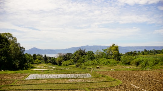
- Planting is one of the most commonly practiced activities in Batak Land, Samosir Island ...click to read more
- Experienced by @Patar Chims | ©Unsplash
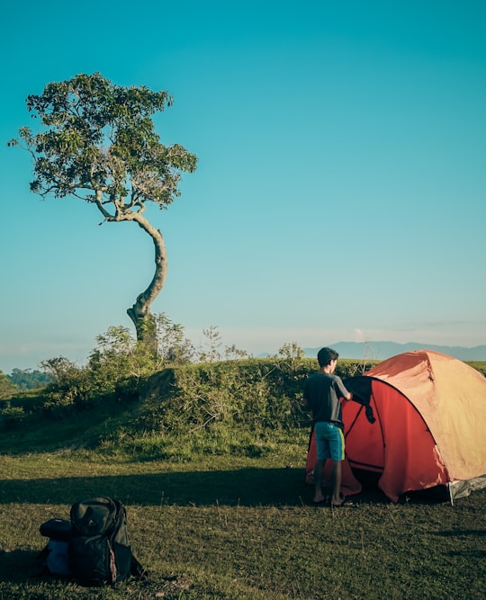
- beautiful camping spot on the Samosir Island ...click to read more
- Experienced by @supardi sinaga | ©Unsplash
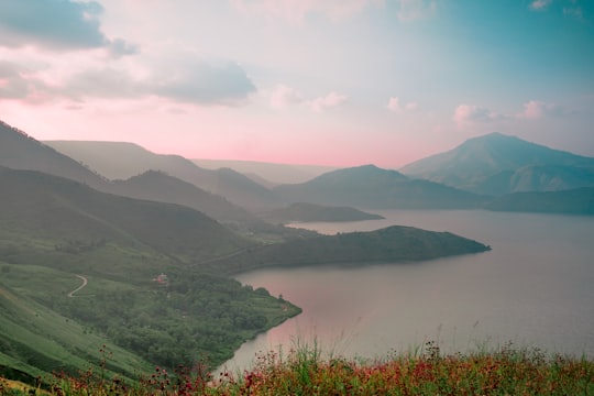
- lost in the beautiful Lake Toba ...click to read more
- Experienced by @supardi sinaga | ©Unsplash
Plan your trip in Samosir with AI 🤖 🗺
Roadtrips.ai is a AI powered trip planner that you can use to generate a customized trip itinerary for any destination in Indonesia in just one clickJust write your activities preferences, budget and number of days travelling and our artificial intelligence will do the rest for you
👉 Use the AI Trip Planner
The Best Things to Do and Visit around Samosir
Disover the best Instagram Spots around Samosir here
1 - Tanjungan
8 km away
Learn more
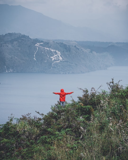
2 - Lake Toba
13 km away
Lake Toba is a large natural lake in North Sumatra, Indonesia, occupying the caldera of a supervolcano. The lake is located in the middle of the northern part of the island of Sumatra, with a surface elevation of about 900 metres, the lake stretches from 2.88°N 98.52°E to 2.35°N 99.1°E.
View on Google Maps Book this experience
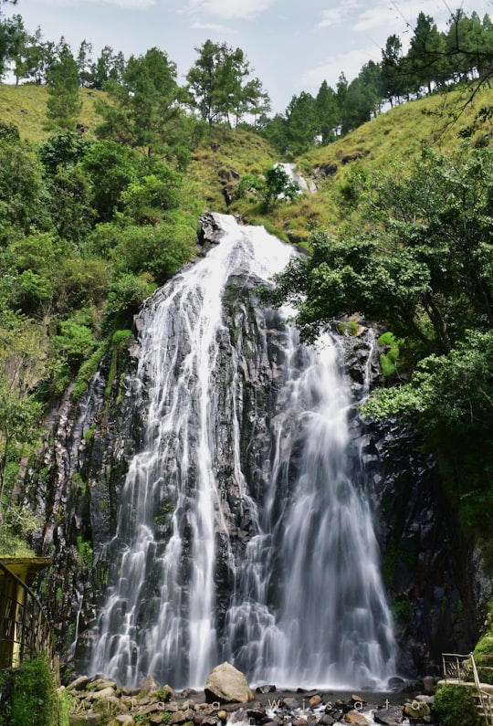
3 - Efrata Waterfall
19 km away
Learn more

4 - Air Terjun Sipiso Piso
44 km away
Mt. Sibayak is a stratovolcano overlooking the town of Berastagi in northern Sumatra, Indonesia. Although its last eruption was more than a century ago, geothermal activity in the form of steam vents and hot springs remains high on and around the volcano.
Learn more Book this experience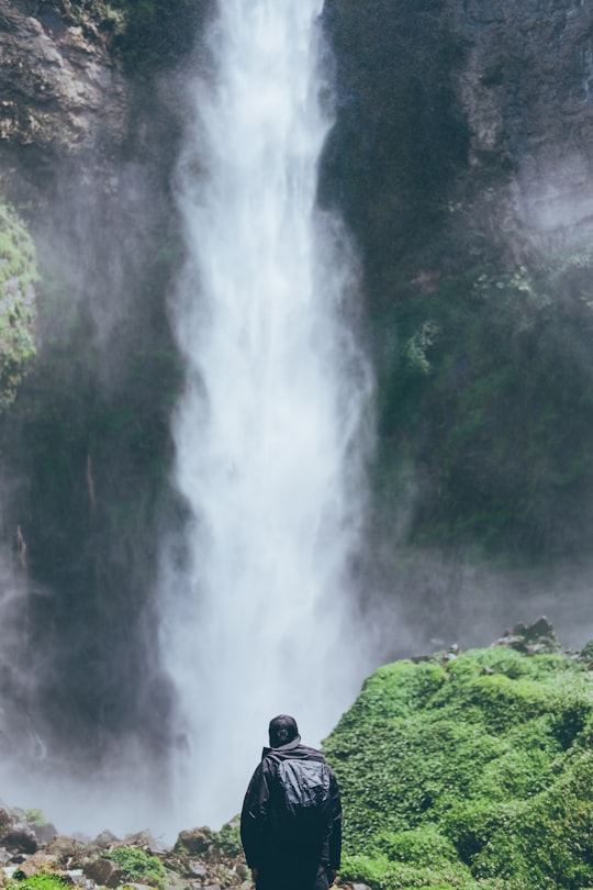
Book Tours and Activities in Samosir
Discover the best tours and activities around Samosir, Indonesia and book your travel experience today with our booking partners
Where to Stay near Samosir
Discover the best hotels around Samosir, Indonesia and book your stay today with our booking partner booking.com
More Travel spots to explore around Samosir
Click on the pictures to learn more about the places and to get directions
Discover more travel spots to explore around Samosir
🏕️ Camping spots 🌲 Forest spots ⛰️ Hill spots ⛰️ Hill station spots 🏞️ Reservoir spots 🛣️ Road trip spots 🏞️ Waterfall spotsTravel map of Samosir
Explore popular touristic places around Samosir
Download On Google Maps 🗺️📲