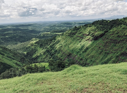
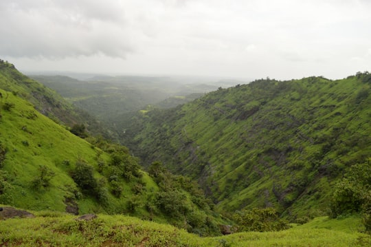
Travel Guide of Igatpuri in India by Influencers and Travelers
Igatpuri is a town and a Hill Station. It is also a municipal council in Nashik District in the Indian state of Maharashtra. It is located in the Western Ghats.
The Best Things to Do and Visit in Igatpuri
TRAVELERS TOP 4 :
1 - Ratangad
27 km away
Ratangad is a fort in Ratan Wadi, Maharashtra, India, overlooking the locale of Bhandardara, one of the oldest artificial catchment area. This fort is located in the Ahmadnagar district of Maharashtra. It is on the boundary of Ahmadnagar and Thane districts. The fort is about 400 years old. This fort is often covered with flowering plants in November. Ratangad is also called Jewel of the Sahyadris.
View on Google Maps Book this experience
2 - Nashik
41 km away
Nashik is an ancient city in the northern region of the Indian state of Maharashtra. Situated on the banks of river Godavari, Nasik is well known for being one of the Hindu pilgrimage sites, that of Kumbh Mela which is held every 12 years.
Learn more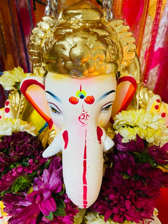
3 - Malshej Ghat
46 km away
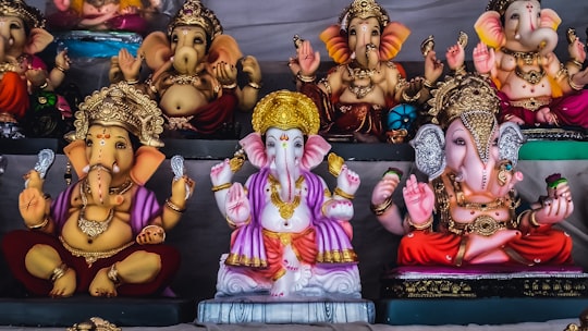
Malshej Ghat is a mountain pass located on Maharashtra's Kalyan–Ahmednagar Road in the Western Ghats range. The site is home to hundreds of various species of flora and fauna, particularly avian species such as quails, rails, crakes, flamingos, and cuckoos.
Learn more Book this experience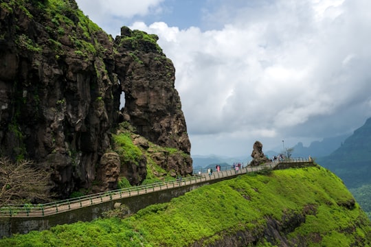
4 - Naneghat
46 km away
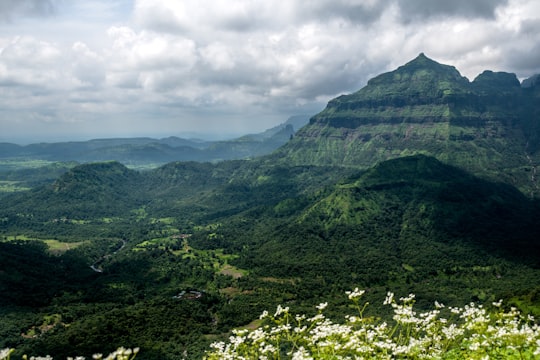
Naneghat, also referred to as Nanaghat or Nana Ghat, is a mountain pass in the Western Ghats range between the Konkan coast and the ancient town of Junnar in the Deccan plateau.
Learn more Book this experience
Disover the best Instagram Spots around Igatpuri here
Book Tours and Activities in Igatpuri
Discover the best tours and activities around Igatpuri, India and book your travel experience today with our booking partners
Pictures and Stories of Igatpuri from Influencers
2 pictures of Igatpuri from Smit Shah, Vishal Tiwari, and other travelers
Plan your trip in Igatpuri with AI 🤖 🗺
Roadtrips.ai is a AI powered trip planner that you can use to generate a customized trip itinerary for any destination in India in just one clickJust write your activities preferences, budget and number of days travelling and our artificial intelligence will do the rest for you
👉 Use the AI Trip Planner
Why should you visit Igatpuri ?
Travel to Igatpuri if you like:
⛰️ HillWhere to Stay in Igatpuri
Discover the best hotels around Igatpuri, India and book your stay today with our booking partner booking.com
More Travel spots to explore around Igatpuri
Click on the pictures to learn more about the places and to get directions
Discover more travel spots to explore around Igatpuri
⛰️ Hill spots ⛰️ Hill station spotsTravel map of Igatpuri
Explore popular touristic places around Igatpuri
