Travel Guide of Mount Abu in India by Influencers and Travelers
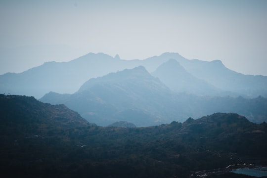
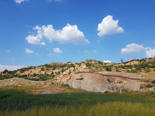
Mount Abu is a hill station in the Aravalli Range in Pindwara - Abu Assembly Constituency Of Sirohi district of Rajasthan state in western India, near the border with Gujarat. The mountain forms a rocky plateau 22 km long by 9 km wide. The highest peak on the mountain is Guru Shikhar at 1,722 m above sea level.
Pictures and Stories of Mount Abu from Influencers
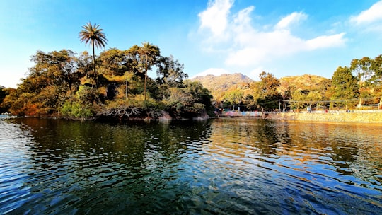
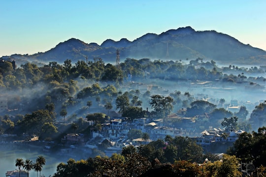
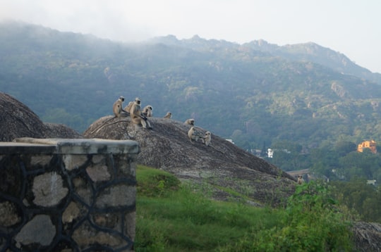
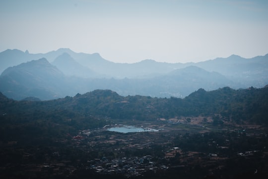
8 pictures of Mount Abu from Vinay Bhadeshiya, Shubham Shrivastava, Kushal Patel and other travelers
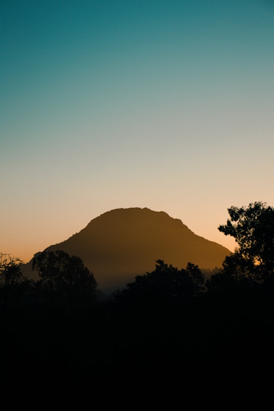
- A mesmerising orange sunrise with the teal sky. ...click to read more
- Experienced by @Om Kamath | ©Unsplash
Plan your trip in Mount Abu with AI 🤖 🗺
Roadtrips.ai is a AI powered trip planner that you can use to generate a customized trip itinerary for any destination in India in just one clickJust write your activities preferences, budget and number of days travelling and our artificial intelligence will do the rest for you
👉 Use the AI Trip Planner
How to visit Mount Abu ?
Why Travel to Mount Abu?
Mount Abu is a popular hill station in the Indian state of Rajasthan. It offers a refreshing escape from the scorching heat of the desert state and is famous for its lush greenery, serene environment, and beautiful landscapes. The place is dotted with ancient temples, lakes, and viewpoints, providing a perfect blend of nature, culture, and history. Mount Abu is an ideal destination for families, couples, and adventure enthusiasts.
How to Get There?
The nearest airport to Mount Abu is the Maharana Pratap Airport in Udaipur, located about 185 km away. From the airport, you can hire a taxi or take a bus to Mount Abu. Alternatively, the nearest railway station is the Abu Road Railway Station, which is well-connected to major cities in India like Delhi, Mumbai, and Ahmedabad. From the railway station, taxis and buses are available for the 28 km journey to Mount Abu.
What to Book in Advance?
It is recommended to book your accommodation in advance, especially during peak season (May to June and October to November). You can also book guided tours, including trekking expeditions and sightseeing packages, to ensure a hassle-free experience.
What Are the Costs?
Mount Abu is a budget-friendly destination with a variety of accommodation options, ranging from budget hotels to luxury resorts. The average cost for a decent hotel ranges from INR 1500 to INR 4000 per night. Meals at local restaurants are reasonably priced, with an average meal costing around INR 200 to INR 500 per person. Sightseeing and activities can cost between INR 500 to INR 3000, depending on the type of tour and activities chosen.
Best Things to Do
1. Visit the Dilwara Temples, an architectural marvel with intricately carved marble.
2. Enjoy a boat ride on the serene Nakki Lake.
3. Witness the breathtaking sunset at the Sunset Point.
4. Explore the Wildlife Sanctuary, home to diverse flora and fauna.
5. Go trekking to Guru Shikhar, the highest peak in Mount Abu.
Where to Eat?
1. Mulberry Tree Restaurant: Offers a variety of Indian, Chinese, and Continental dishes.
2. King's Food: Known for its delicious local Rajasthani cuisine.
3. Arbuda Restaurant: A popular spot for vegetarian dishes and refreshing beverages.
Where to Stay?
1. Hotel Hilltone: A luxury hotel with modern amenities and beautiful gardens.
2. Hotel Silver Oak: A budget-friendly option with comfortable rooms and excellent hospitality.
3. Palanpur Palace: A heritage hotel offering a royal experience amidst lush greenery.
Off the Beaten Path
For a unique and offbeat experience, consider visiting the village of Achalgarh, located 11 km from Mount Abu. The village is home to the Achalgarh Fort and Achaleshwar Mahadev Temple, both of which offer a glimpse into the region's rich history. The fort is partially in ruins, but the temple is still an active place of worship. The area around Achalgarh also offers opportunities for trekking and exploring the picturesque surroundings.
The Best Things to Do and Visit around Mount Abu
Disover the best Instagram Spots around Mount Abu here
1 - Achalgarh Fort
7 km away
Achalgarh is a fort situated about 11 kilometres north of Mount Abu, a hill station in Rajasthan, India. The fort was originally built by the Paramara dynasty rulers and later reconstructed, renovated and named as Achalgarh by Maharana Kumbha in 1452 CE, one of the 32 forts built during his reign.
View on Google Maps Book this experience
2 - Guru Shikhar
9 km away
Guru Shikhar, a peak in the Arbuda Mountains of Sirohi district in Rajasthan, is the highest point of the Aravalli Range and Rajasthan. It rises to an elevation of 1,722 metres.
View on Google Maps Book this experience
3 - PRL Observatory
9 km away
The Udaipur Solar Observatory is in Udaipur, Rajasthan in India on an island in the Fateh Sagar Lake. The sky conditions at Udaipur are quite favourable for solar observations.
Learn more Book this experience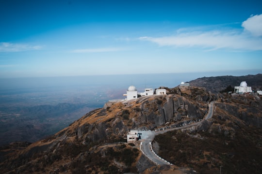
4 - Abu Road
15 km away
Abu Road is a city and sub-district in Sirohi district of Rajasthan state in western India, lies on the bank of West Banas River. It is the tehsil and sub-district headquarters.
Learn more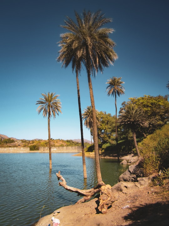
Book Tours and Activities in Mount Abu
Discover the best tours and activities around Mount Abu, India and book your travel experience today with our booking partners
Where to Stay near Mount Abu
Discover the best hotels around Mount Abu, India and book your stay today with our booking partner booking.com
More Travel spots to explore around Mount Abu
Click on the pictures to learn more about the places and to get directions
Discover more travel spots to explore around Mount Abu
⛰️ Hill station spots ⛰️ Hill spots 🏖️ Beach spots 🏰 Historic site spots 🏞️ River spotsTravel map of Mount Abu
Explore popular touristic places around Mount Abu
