Travel Guide of Kothamangalam in India by Influencers and Travelers
Kothamangalam is a municipality in the eastern part of Ernakulam district in the Indian state of Kerala. The town is in the foothills of the Western Ghats mountain ranges. The highway NH-85 Ernakulam – Madurai – Rameswaram passes through Kothamangalam. Kothamangalam is known as the Gateway of Highrange. Kothamangalam is a part of Idukki Lok Sabha constituency. The town serves as the headquarters of a taluk and a municipality of the same name.
The Best Things to Do and Visit in Kothamangalam
TRAVELERS TOP 10 :
- Kodanad
- Jawaharlal Nehru International Stadium
- Kulamavu
- Vallarpadam
- Kochi
- Fort Kochi
- Reserve Forest
- Fort Kochi Beach
- Valparai
- Munnar
1 - Kodanad
19 km away
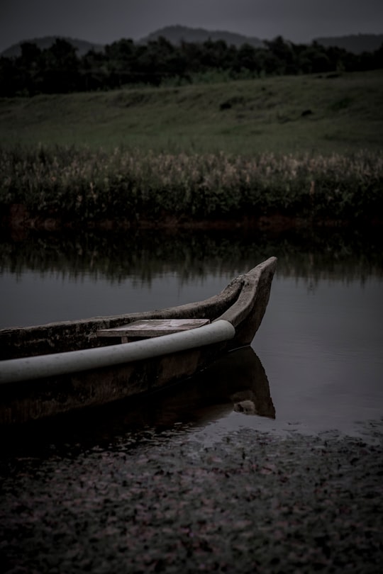
Kodanad is a rural riverside village of Ernakulam district in Kerala, South India. It is 18 km from Angamaly. Kodanad is situated on the south bank of Periyar river, about 42 kilometers east of Kochi.
Learn more
2 - Jawaharlal Nehru International Stadium
37 km away
Jawaharlal Nehru International Stadium, locally known as Kaloor Stadium is a multi-purpose international stadium situated in Kochi, Kerala. The stadium has a capacity of 60,500.
Learn more Book this experience
3 - Kulamavu
41 km away
Kulamavu Dam is a gravity/masonry dam on the Periyar river. It is one of the three dams associated with the Idukki hydro electric power project in the Indian state of Kerala.
Learn more Book this experience
4 - Vallarpadam
42 km away
Vallarpadam is one among the group of islands, that form part of Kochi, in the state of Kerala, India. It is situated in the Vembanad Lake, locally known as The Kochi Lake and has a population of over 10,000.
Learn more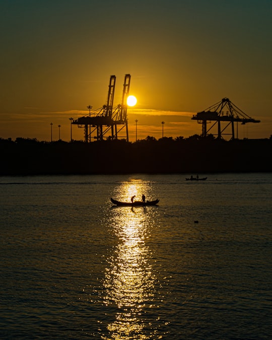
5 - Kochi
43 km away
Kochi, also known as Cochin, is a major port city on the south-west coast of India bordering the Laccadive Sea. It is part of the district of Ernakulam in the state of Kerala and is often referred to as Ernakulam.
Learn more
6 - Fort Kochi
44 km away
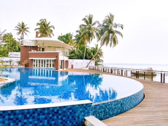
Fort Kochi is a region in the city of Kochi in the state of Kerala, India. This is part of a handful of water-bound regions toward the south-west of the mainland Kochi, and collectively known as Old Kochi or West Kochi. Adjacent to this is Mattancherry.
Learn more Book this experience
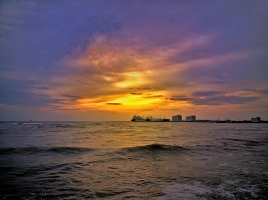
7 - Reserve Forest
44 km away
Learn more
8 - Fort Kochi Beach
45 km away
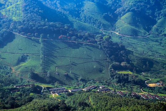
Fort Kochi beach is a beach along the Arabian Sea situated in Fort Kochi in the city of Kochi in South India, Kerala state.
Learn more Book this experience
9 - Valparai
46 km away
Valparai is a Taluk and hill station in the Coimbatore district of Tamil Nadu, India. It consists of Anamalai Tiger Reserve. It is located 3,474 feet above sea level on the Anaimalai Hills range of the Western Ghats. There are a total of 56 estates here.
Learn more
10 - Munnar
47 km away
Munnar is a town and hill station in the Idukki district of the southwestern Indian state of Kerala. Munnar is situated at around 1,600 metres above mean sea level, in the Western Ghats mountain range.
Learn more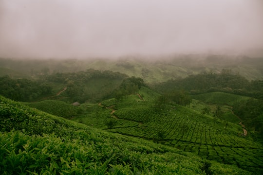
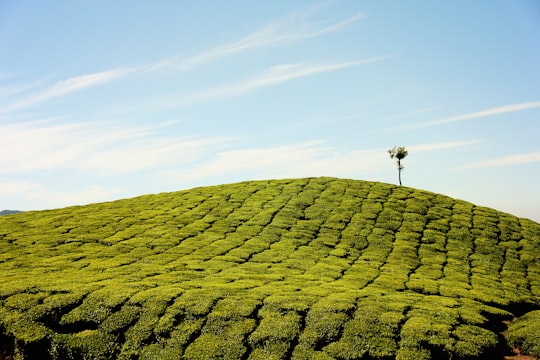
Disover the best Instagram Spots around Kothamangalam here
Book Tours and Activities in Kothamangalam
Discover the best tours and activities around Kothamangalam, India and book your travel experience today with our booking partners
Pictures and Stories of Kothamangalam from Influencers
2 pictures of Kothamangalam from Zion, , and other travelers
Plan your trip in Kothamangalam with AI 🤖 🗺
Roadtrips.ai is a AI powered trip planner that you can use to generate a customized trip itinerary for any destination in India in just one clickJust write your activities preferences, budget and number of days travelling and our artificial intelligence will do the rest for you
👉 Use the AI Trip Planner
Why should you visit Kothamangalam ?
Travel to Kothamangalam if you like:
🏞️ River 🛣️ Off-roadingWhere to Stay in Kothamangalam
Discover the best hotels around Kothamangalam, India and book your stay today with our booking partner booking.com
More Travel spots to explore around Kothamangalam
Click on the pictures to learn more about the places and to get directions
Discover more travel spots to explore around Kothamangalam
🛣️ Off-roading spots 🏞️ River spotsTravel map of Kothamangalam
Explore popular touristic places around Kothamangalam
