Travel Guide of Kedarnath in India by Influencers and Travelers
Kedarnath is a town and Nagar Panchayat in Rudraprayag district of Uttarakhand, India, known primarily for the Kedarnath Temple. It is approximately 86 kilometres from Rudraprayag, the district headquarter. Kedarnath is the most remote of the four Chota Char Dham pilgrimage sites.
The Best Things to Do and Visit in Kedarnath
TRAVELERS TOP 10 :
- Kedarnath Temple
- Gangotri Glacier
- Shivling
- Chaukhamba
- Ukhimath
- Gangotri National Park
- Rudraprayag
- Tungnath
- Chandrashila
- Gangotri
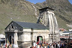
1 - Kedarnath Temple
Kēdārnāth Mandir is a Hindu temple dedicated to Lord Shiva. Located on the Garhwal Himalayan range near the Mandakini river, Kedarnath is located in the state of Uttarakhand, India.
Learn more Book this experience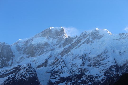
2 - Gangotri Glacier
15 km away
Gangotri Glacier is located in Uttarkashi District, Uttarakhand, India in a region bordering Tibet. This glacier, one of the primary sources of the Ganges, is one of the largest in the Himalayas with an estimated volume of over 27 cubic kilometers.
View on Google Maps Book this experience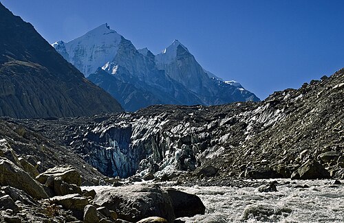
3 - Shivling
20 km away
Shivling is a mountain at tapovan in the Gangotri Group of peaks in the western Garhwal Himalaya, near the snout of the Gangotri Glacier. It lies in the northern Indian state of Uttarakhand, 6 kilometres south of the Hindu holy site of Gaumukh. Its name refers to its status as a sacred symbol -Shiva Linga.
View on Google Maps Book this experience
4 - Chaukhamba
21 km away
Chaukhamba is a mountain massif in the Gangotri Group of the Garhwal Himalaya. Its main summit, Chaukhamba I, is the highest peak in the group. It lies at the head of the Gangotri Glacier and forms the eastern anchor of the group. It is located in the northern Indian state of Uttarakhand, west of the Hindu holy town of Badrinath.
View on Google Maps Book this experience
5 - Ukhimath
25 km away
Ukhimath is a small town and a Hindu pilgrimage site in Rudraprayag district, Uttarakhand in India. It is situated at an elevation of 1,311 meters and at a distance of 41 km from Rudraprayag.
Learn more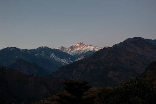
6 - Gangotri National Park
25 km away
Learn more
7 - Rudraprayag
28 km away
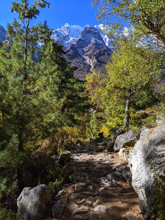
Rudraprayag is a town and a municipality in Rudraprayag district in the Indian state of Uttarakhand. Rudraprayag is one of the Panch Prayag of Alaknanda River, the point of confluence of rivers Alaknanda and Mandakini.
Learn more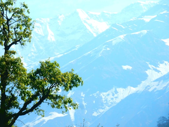
8 - Tungnath
30 km away
Tungnath is one of the highest Shiva temples in the world and is the highest of the five Panch Kedar temples located in the mountain range of Tunganath in Rudraprayag district, in the Indian state of Uttarakhand.
Learn more Book this experience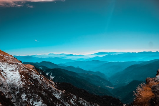

9 - Chandrashila
31 km away
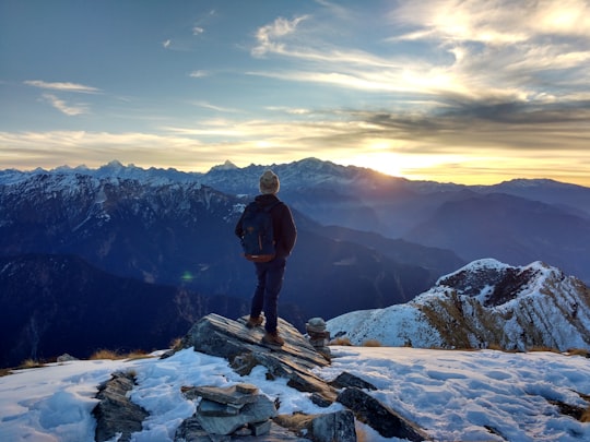
Chandrashila is the summit above Tungnath temple in India. It literally means "Moon Rock". It is located at a height of about 3,690 metres above sea level.
Learn more Book this experience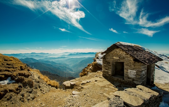
10 - Gangotri
31 km away
Gangotri is a town and a Nagar Panchayat in Uttarkashi district in the state of Uttarakhand, India. It is a Hindu pilgrim town on the banks of the river Bhagirathi and origin of river Ganges.
Learn more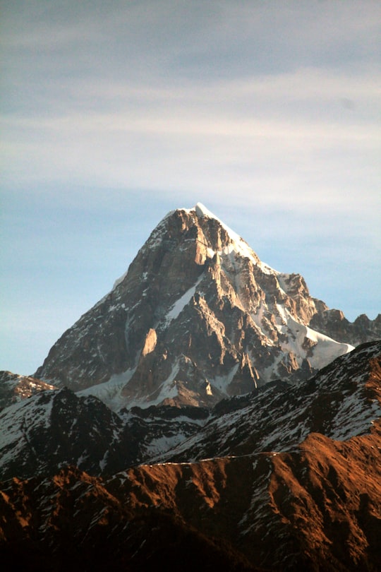
11 - Koteshwar
38 km away
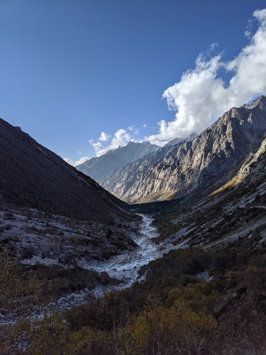
The Koteshwar Dam is a gravity dam on the Bhagirathi River, located 22 km downstream of the Tehri Dam in Tehri District, Uttarakhand, India.
Learn more
Disover the best Instagram Spots around Kedarnath here
Book Tours and Activities in Kedarnath
Discover the best tours and activities around Kedarnath, India and book your travel experience today with our booking partners
Pictures and Stories of Kedarnath from Influencers
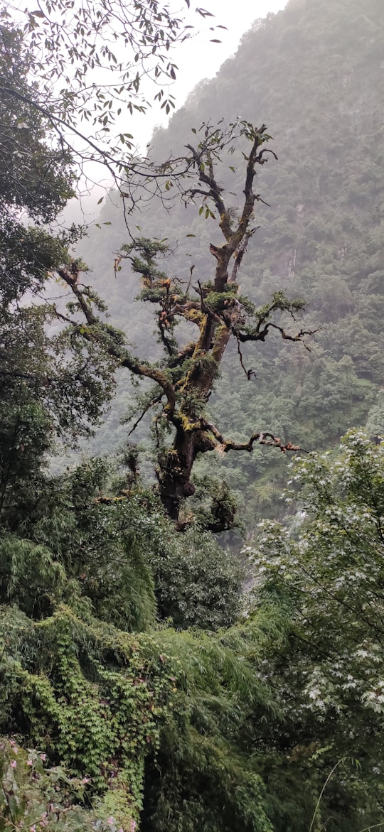
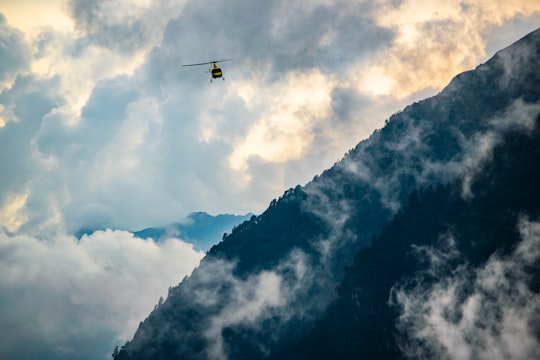
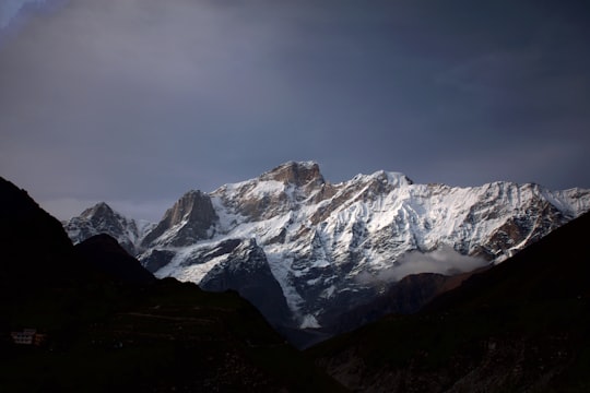
7 pictures of Kedarnath from Krushna Patle, Himanshu Gangwar, Pankaj Kumar and other travelers
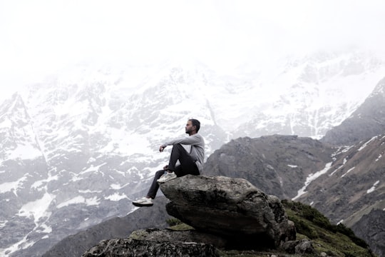
- At the top right mountain of Kedarnath Temple. ...click to read more
- Experienced by @Rahul Kashyap | ©Unsplash
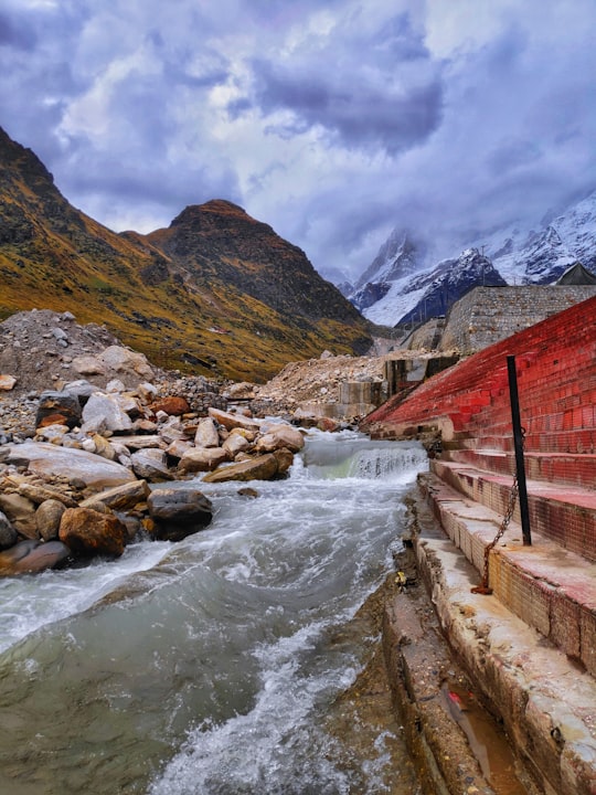
- Emergence of Mandakini river from kedar peak ...click to read more
- Experienced by @Pankaj Kumar | ©Unsplash
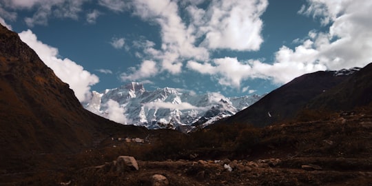
- Mountains vibes are always positive ...click to read more
- Experienced by @Mayank Chauhan | ©Unsplash
Plan your trip in Kedarnath with AI 🤖 🗺
Roadtrips.ai is a AI powered trip planner that you can use to generate a customized trip itinerary for any destination in India in just one clickJust write your activities preferences, budget and number of days travelling and our artificial intelligence will do the rest for you
👉 Use the AI Trip Planner
Why should you visit Kedarnath ?
Travel to Kedarnath if you like:
⛰️ Hill station 🏞️ River ⛰️ Mountaineering ⛰️ Highland 🌲 ForestWhere to Stay in Kedarnath
Discover the best hotels around Kedarnath, India and book your stay today with our booking partner booking.com
More Travel spots to explore around Kedarnath
Click on the pictures to learn more about the places and to get directions
Discover more travel spots to explore around Kedarnath
Extreme sport spots 🌲 Forest spots ⛰️ Highland spots ⛰️ Hill station spots ⛰️ Mountaineering spots 🏞️ River spots ⛰️ Summit spotsTravel map of Kedarnath
Explore popular touristic places around Kedarnath
