Travel Guide of Dhanaulti in India by Influencers and Travelers
Dhanaulti is a quiet hill station at an elevation of 2286 meters above sea level, it offers panoramic views of the lofty Himalayas.
Pictures and Stories of Dhanaulti from Influencers
Picture from Gaurav Bagdi who have traveled to Dhanaulti
Plan your trip in Dhanaulti with AI 🤖 🗺
Roadtrips.ai is a AI powered trip planner that you can use to generate a customized trip itinerary for any destination in India in just one clickJust write your activities preferences, budget and number of days travelling and our artificial intelligence will do the rest for you
👉 Use the AI Trip Planner
The Best Things to Do and Visit around Dhanaulti
Disover the best Instagram Spots around Dhanaulti here
1 - Kanatal
11 km away
Kanatal is a small village and a hill station in the state of Uttarakhand, India. Kanatal is 78 km from Dehradun, 38 km from Mussoorie and 12 km from Chamba. It is on the Chamba-Mussoorie road and nearly 300 km from Delhi.
Learn more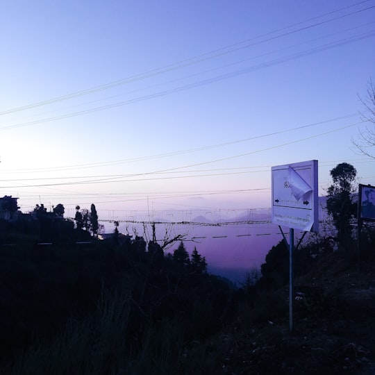
2 - Mussoorie
17 km away
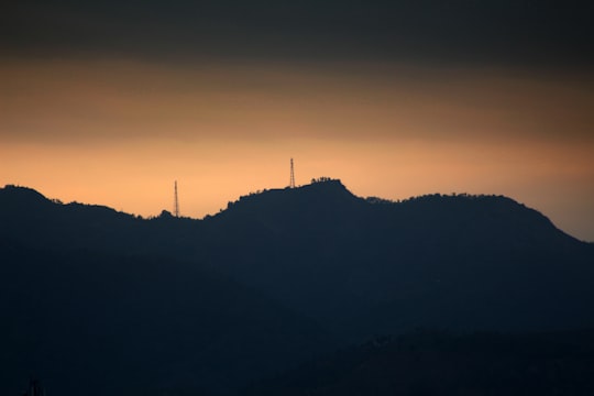
Mussoorie is a hill station and a municipal board in the Dehradun District of the Indian state of Uttarakhand. It is about 35 kilometres from the state capital of Dehradun and 290 km north of the national capital of New Delhi.
Learn more
3 - Hiking | Mussoorie
17 km away
Hike to the highest peak around Mussoorie on a day trip to Top Tibba. Enjoy panoramic views of the snow-capped Himalayan peaks & mesmerizing valleys from the top. Uphill, challenging & rewarding!
Learn more
4 - Nag Tibba
18 km away
Nag Tibba, 3,022 metres, is the highest peak in the lesser Himalayan region of Uttarakhand state and a region of Bugyals .It lends its name to the 'Nag Tibba Range', itself the next-northerly of the five folds of the Himalayas.
Learn more Book this experience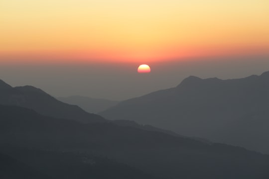

5 - New Tehri
19 km away
New Tehri is a city and a municipal board in Tehri Garhwal District in the Indian state of Uttarakhand. It is the administrative headquarters of Tehri Garhwal District. This urban municipality area has 11 wards, from Vidhi Vihar to Vishwakarma Puram.
Learn more
6 - Happy Valley
19 km away
Happy Valley Tea Estate is a tea garden in Darjeeling district in the Indian state of West Bengal. Established in 1854, it is Darjeeling's second oldest tea estate.
Learn more Book this experience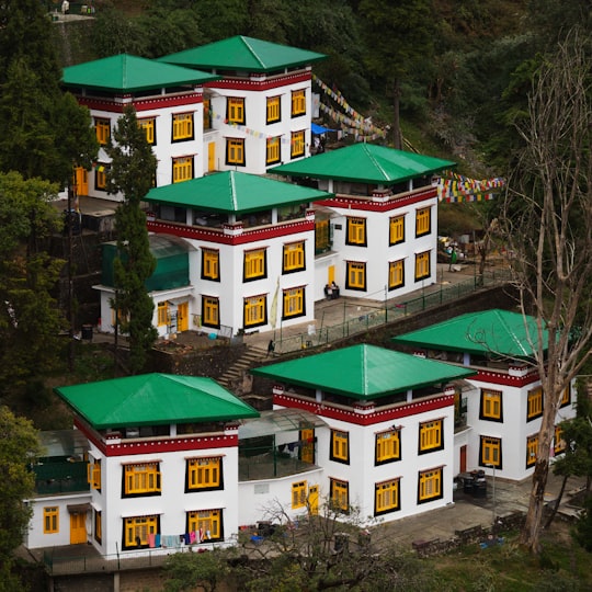
7 - Tehri
19 km away
New Tehri is a city and a municipal board in Tehri Garhwal District in the Indian state of Uttarakhand. It is the administrative seat of Tehri Garhwal District. This urban municipality area has 11 wards, from Vidhi Vihar to Vishwakarma Puram.
Learn more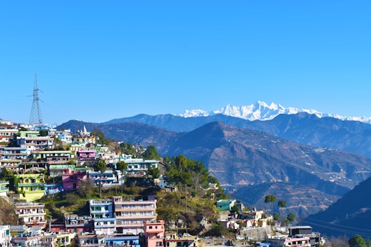
8 - Dehradun
22 km away
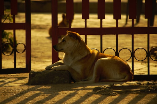
Dehradun, also rendered Dera Doon, is the winter capital and the most populous city in the Indian state of Uttarakhand. It is the administrative headquarters of the eponymous district and is governed by the Dehradun Municipal Corporation.
Learn more
9 - Rishikesh
36 km away
Rishikesh, also spelt as Hrishikesh, is a city governed by Rishikesh Municipal Corporation, and a tehsil in Dehradun district of the Indian state Uttarakhand.
Learn more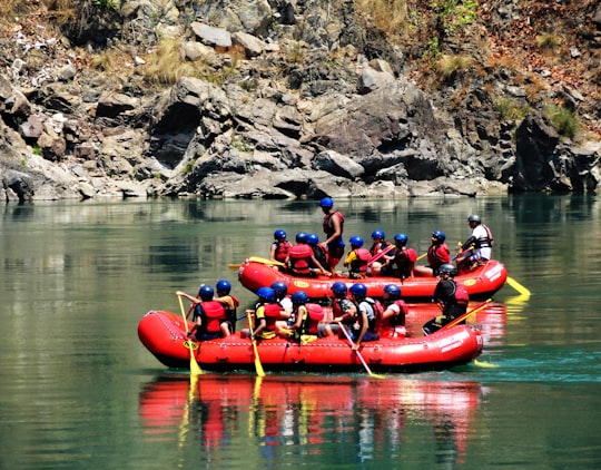
10 - Rajaji National Park
40 km away
Rajaji National Park is an Indian national park and tiger reserve that encompasses the Shivaliks, near the foothills of the Himalayas. It is spread over 820 km² and includes three districts of Uttarakhand: Haridwar, Dehradun and Pauri Garhwal. In 1983, three wildlife sanctuaries in the area namely, Chilla, Motichur and Rajaji were merged into one. Rajaji National Park has been named after C.
Learn more Book this experience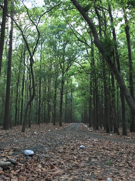
11 - Uttarkashi
41 km away
Uttarkashi, meaning Kashi of the north, is a town in Uttarakhand, India. Uttarkashi means the Kashi of North and is also known as Somya Kashi. Uttarkashi is a religious place for spiritual and adventurous tourism. Uttarkashi town is also called as Shivnagri. The town has number of temples and ashrams. Uttarkashi is known for its religious people, weather, education. It is the district headquarters of Uttarkashi district. Uttarkashi is situated on the banks of river Bhagirathi at an altitude of 1158 m above sea level. Uttarkashi is generally known as a holy town close to Rishikesh. It is located in the state of Uttarakhand in India. Uttarkashi is home to a number of ashrams and temples and also to the Nehru Institute of Mountaineering. The name of the town reflects its similarity to and location the city of Kashi.
Learn more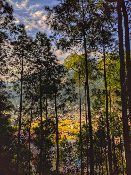
Book Tours and Activities in Dhanaulti
Discover the best tours and activities around Dhanaulti, India and book your travel experience today with our booking partners
Where to Stay near Dhanaulti
Discover the best hotels around Dhanaulti, India and book your stay today with our booking partner booking.com
More Travel spots to explore around Dhanaulti
Click on the pictures to learn more about the places and to get directions
Discover more travel spots to explore around Dhanaulti
⛰️ Mountain range spotsTravel map of Dhanaulti
Explore popular touristic places around Dhanaulti
