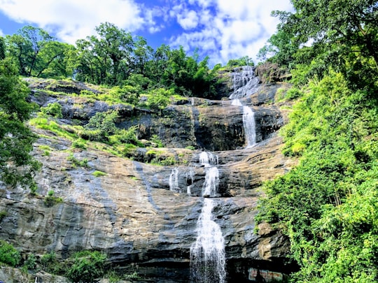
Travel Guide of Cheeyappara Waterfalls in India by Influencers and Travelers
Adimali is a town in the Idukki district of Kerala, India. National Highway 185 is a highway in India running from Adimali to Kumily through Kattappana and ends in Adoor in Kerala.
The Best Things to Do and Visit in Cheeyappara Waterfalls
TRAVELERS TOP 10 :
- Eravikulam National Park
- Devikulam
- Idukki
- Mattupetty Dam
- Western Ghats
- Reserve Forest
- Kulamavu
- Munnar
- The Blossom International Park
- Valparai
1 - Eravikulam National Park
17 km away
Eravikulam National Park is a 97 km² national park located along the Western Ghats in the Idukki district of Kerala in India. Situated between 10º05'N and 10º20' north, and 77º0' and 77º10' east, it is the first national park in Kerala.
Learn more Book this experience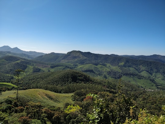

2 - Devikulam
17 km away
Devikulam is a small hill station about 5 kilometres from Munnar in the Idukki District of the southern state of Kerala, India. It lies 1,800 metres above sea level.
View on Google Maps Book this experience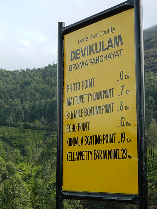
3 - Idukki
19 km away
The Idukki Dam is a double curvature Arch dam constructed across the Periyar River in a narrow gorge between two granite hills locally known as Kuravan and Kurathi in Kerala, India. At 168.91 metres, it is one of the highest arch dams in Asia. It is constructed and owned by the Kerala State Electricity Board.
Learn more Book this experience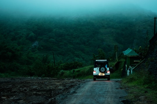

4 - Mattupetty Dam
21 km away
Mattupetty Dam, near Munnar in Idukki District, is a storage Concrete Gravity dam built in the mountains of Kerala, India to conserve water for hydroelectricity.
Learn more Book this experience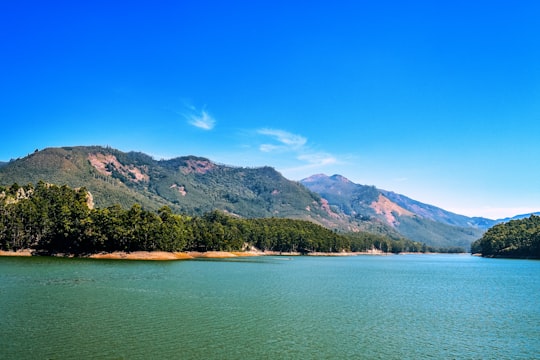

5 - Western Ghats
21 km away
The Western Ghats or the Western Mountain range is a mountain range that covers an area of 160,000 km² in a stretch of 1,600 km parallel to the western coast of the Indian peninsula, traversing the states of Gujarat, Maharashtra, Goa, Karnataka, Kerala and Tamil Nadu.
View on Google Maps Book this experience
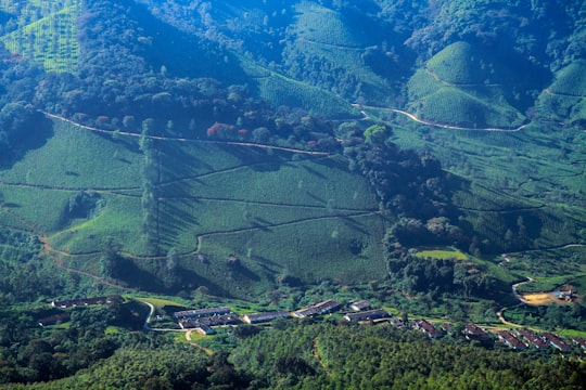
6 - Reserve Forest
23 km away
Learn more
7 - Kulamavu
24 km away
Kulamavu Dam is a gravity/masonry dam on the Periyar river. It is one of the three dams associated with the Idukki hydro electric power project in the Indian state of Kerala.
Learn more Book this experience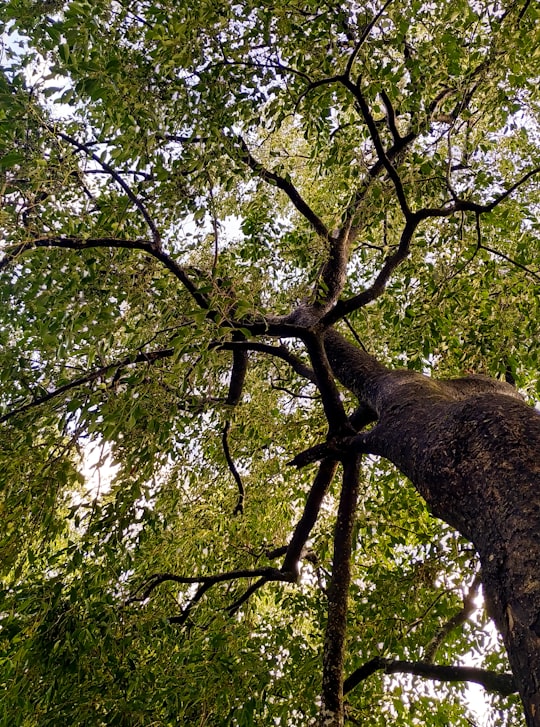

8 - Munnar
26 km away
Munnar is a town and hill station in the Idukki district of the southwestern Indian state of Kerala. Munnar is situated at around 1,600 metres above mean sea level, in the Western Ghats mountain range.
Learn more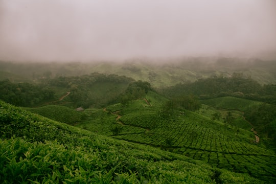
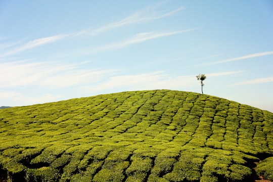
9 - The Blossom International Park
26 km away
Learn more
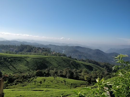
10 - Valparai
34 km away
Valparai is a Taluk and hill station in the Coimbatore district of Tamil Nadu, India. It consists of Anamalai Tiger Reserve. It is located 3,474 feet above sea level on the Anaimalai Hills range of the Western Ghats. There are a total of 56 estates here.
Learn more
Disover the best Instagram Spots around Cheeyappara Waterfalls here
Book Tours and Activities in Cheeyappara Waterfalls
Discover the best tours and activities around Cheeyappara Waterfalls, India and book your travel experience today with our booking partners
Pictures and Stories of Cheeyappara Waterfalls from Influencers
Picture from Arif Khan who have traveled to Cheeyappara Waterfalls
Plan your trip in Cheeyappara Waterfalls with AI 🤖 🗺
Roadtrips.ai is a AI powered trip planner that you can use to generate a customized trip itinerary for any destination in India in just one clickJust write your activities preferences, budget and number of days travelling and our artificial intelligence will do the rest for you
👉 Use the AI Trip Planner
Why should you visit Cheeyappara Waterfalls ?
Travel to Cheeyappara Waterfalls if you like:
⛰️ Hill station 🌲 Forest 🐾 Wildlife 🛣️ Off-roading ⛰️ Mountain ⛰️ HighlandWhere to Stay in Cheeyappara Waterfalls
Discover the best hotels around Cheeyappara Waterfalls, India and book your stay today with our booking partner booking.com
More Travel spots to explore around Cheeyappara Waterfalls
Click on the pictures to learn more about the places and to get directions
Discover more travel spots to explore around Cheeyappara Waterfalls
Travel map of Cheeyappara Waterfalls
Explore popular touristic places around Cheeyappara Waterfalls
